1900s (20th Century) Maps of Carroll County, Arkansas
Explore 28 historic maps of Carroll County from the 1900s (20th Century). These maps offer a rare glimpse into what life looked like during the 1900s — showing old roads, neighborhoods, homes, and landmarks that have changed or disappeared over time.
Whether you're researching your family's past, planning a metal detecting trip, or studying how Carroll County's landscape evolved across the 1900s, these high-resolution maps are a powerful tool for exploring the history of this region.
- Focus on a specific era: All maps on this page are from the 1900s, giving you a focused view of this time period.
- See what’s changed: Compare century-old streets, trails, and buildings to today's modern landscape using overlays and satellite layers.
- Research with precision: Use these maps for genealogy, historical research, land use analysis, or educational projects.
- View, download, or print: Maps are fully viewable online in high resolution, and can be downloaded or printed for your own records.
Start exploring Carroll County's history through authentic maps from the 1900s. This is your window into the past.
Carroll County, AR maps
(28)- 1900 Map of Eureka Springs, 1954 Print
 1900 Eureka Springs1954 Print · USGSThe Ozark Mountains around the Arkansas and Missouri border are shown here during the turn of the century, when the river-and-rail economy was firmly established. Researchers can locate early family crossings and landmarks like Knox Ferry, Pivot Rock, and the St. Louis & San Francisco R. R.
 - 1901 Map of Eureka Springs
 1901 Eureka Springs1901 Print · USGSThe Arkansas Ozarks at the turn of the century are captured here in a time of river ferries and mountain townships. Genealogists and historians can locate early settlements like Eureka Springs and Berryville, or trace historic crossings such as Knox Ferry and Ellis Ford.3 unique versions available
 - 1904 Map of Harrison, 1954 Print
 1904 Harrison1954 Print · USGSThe Ozark Mountains of Northwest Arkansas are documented here at the turn of the century, showing a landscape of pioneer settlements and new rail lines. Genealogists can trace early homesteads and commerce at Blantons Mill, the village of Carrollton, and the regional hub of Harrison.
 - 1905 Map of Harrison
 1905 Harrison1905 Print · USGSThe Ozark Plateau at the start of the century was a land of winding mountain railroads and isolated creek-side settlements. Genealogists can trace family footprints across the highlands from Lead Hill to Green Forest, finding early industrial landmarks like Blantons Mill and the Rock Quarry.3 unique versions available
 - 1945 Map of Harrison
 1945 Harrison1945 Print · USGSThe Ozark and Boston Mountains straddle the Missouri-Arkansas border during the mid-forties, showing a landscape of forest ridges and river valleys. Genealogists and historians can trace rail-connected towns like Monett and West Plains or early lake developments at Bull Shoals Res and Norfork Lake.
 - 1949 Map of Harrison
 1949 Harrison1949 Print · USGSThe Ozark highlands of northern Arkansas and southern Missouri are shown just after the war, when the White River still followed its original course. Genealogists and historians can trace rail lines like the Missouri & Arkansas RR and locate rural hubs like Harrison, Eureka Springs, and Mountain Home.
 - 1954 Map of Harrison
 1954 Harrison1954 Print · USGSThe Ozarks and Boston Mountains meet during a period of massive river engineering in the mid-fifties. Researchers can trace the early shorelines of Bull Shoals Lake and Table Rock Reservoir or locate inland towns like Berryville and Harrison.
 - 1957 Map of Mundell, 1959 Print
 1957 Mundell1959 Print · USGSThe Ozark highlands near the triple-county junction of Benton, Madison, and Carroll are shown here in the late 1950s. Researchers can locate remote rural institutions like Union Chapel, Pemberton Cem, and the historic Durham Mill Hollow along the winding Big Clifty Creek.3 unique versions available
 - 1957 Map of War Eagle, 1959 Print
 1957 War Eagle1959 Print · USGSBenton County was defined by its winding river valleys and rural crossroads in the late fifties. You can trace the river economy through Knox Ferry and find family sites like Bland Chapel, Coal Gap Sch, and Alpine Cem.4 unique versions available
 - 1957 Map of Beaver, 1959 Print
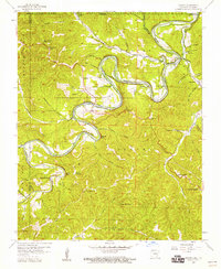 1957 Beaver1959 Print · USGSThe White River valley in Carroll County is shown here in the late fifties, during a period of quiet rural character. Researchers can locate family sites and landmarks like Beaver Cem, the community of Busch, and the waters of Blue Spring.4 unique versions available
 - 1958 Map of Garfield, 1959 Print
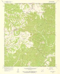 1958 Garfield1959 Print · USGSThe Benton County uplands are captured here in the late fifties as rural life centered around the railroad and timbered ridges. Researchers can trace family sites at Clantonville Cem, Providence Ch, and the now-abandoned Pine Log Sch.4 unique versions available
 - 1958 Map of Harrison, 1973 Print
 1958 Harrison1973 Print · USGSThe Ozark and Boston Mountains appear in this mid-century survey as the great White River impoundments were reshaping the region. Researchers can trace the rail lines of the St Louis-San Francisco Ry and locate early settlements like Berryville and Gainesville.
 - 1964 Map of Harrison
 1964 Harrison1964 Print · USGSThe Ozark and Boston Mountains of Arkansas and Missouri are captured here in the mid-sixties, showing the rugged highlands before extensive modern development. Genealogists and historians can trace family-named peaks like Gaither Mountain and follow the St Louis-San Francisco RR through Monett and Purdy.
 - 1967 Map of Ponca, 1968 Print
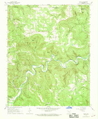 1967 Ponca1968 Print · USGSThe Buffalo River corridor in the late sixties shows a landscape of deep hollows and high Ozark ridges. Researchers can trace rural genealogy through landmarks like Mountain Springs Cem and Plumlee Ch or locate the site of the Compton Lookout Tower.3 unique versions available
 - 1968 Map of Osage NE, 1969 Print
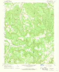 1968 Osage NE1969 Print · USGSIn the late sixties, this Carroll County uplands region around Delmar maintained its traditional character amidst a rugged landscape of hollows and bluffs. Researchers can find generational landmarks like Possum Trot Ch, Hilltop Cem, and the high peak of Needle Eye Mountain.2 unique versions available
 - 1968 Map of Osage, 1969 Print
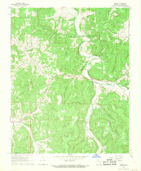 1968 Osage1969 Print · USGSCarroll County in the late sixties remains a landscape of deep hollows and high ridges centered on the Osage Creek valley. Genealogists and local historians can trace family locations near Rudd, the Gobbler Ch, and numerous burial sites including Bobo Cem.2 unique versions available
 - 1968 Map of Osage SW, 1969 Print
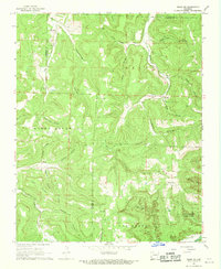 1968 Osage SW1969 Print · USGSNewton County in the late 1960s remains a landscape of deep hollows and high ridges at the Buffalo River's edge. Researchers can trace the rural communities of George, Dinsmore, and Stoverville alongside family landmarks like Elkhorn Church.4 unique versions available
 - 1972 Map of Rockhouse, 1973 Print
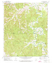 1972 Rockhouse1973 Print · USGSThe Ozark highlands of Carroll and Madison Counties are shown here during the early seventies, centered on the winding Kings River. Genealogists and local historians can locate the Shady Grove Cem and rural communities like Winona Springs and Rockhouse.3 unique versions available
 - 1972 Map of Alpena, 1973 Print
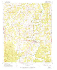 1972 Alpena1973 Print · USGSCrossing the line between Carroll and Boone counties in the early seventies, this map captures the rural network of the Alpena area. Genealogists can locate family burial grounds like McCracken Cem and Riddle Cem, or trace the path of the OLD RAILROAD GRADE.
 - 1972 Map of Denver, 1973 Print
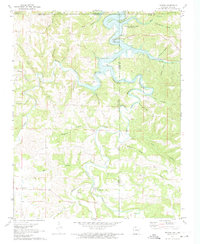 1972 Denver1973 Print · USGSThe Missouri-Arkansas border region is captured here in the early seventies as the reservoir waters of Table Rock Lake submerged the lower creek valleys. Genealogists and local historians can trace family roots through Denver Cem, the settlement of Farewell, and the steep terrain of Backbone Bluff.
 - 1972 Map of Berryville, 1973 Print
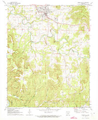 1972 Berryville1973 Print · USGSBerryville and the surrounding Ozark highlands are captured here in the early seventies, showcasing a landscape of deep hollows and rural community life. Researchers can locate many old creek crossings and family landmarks, including McKennon Ford, Pension Mountain School, and Briley Cemetery.
 - 1972 Map of Green Forest, 1973 Print
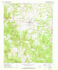 1972 Green Forest1973 Print · USGSGreen Forest and the surrounding Carroll County highlands are captured here in the early seventies, showing a landscape of deep hollows and high ridges. Researchers can locate numerous local landmarks like Pichens Cem, Union Ch, and the winding Old RR Grade.
 - 1972 Map of Grandview, 1973 Print
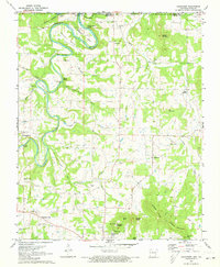 1972 Grandview1973 Print · USGSThe rural Ozarks near the Missouri border come to life in this early 1970s portrait of Berryville and the Kings River valley. Genealogists and hikers can trace the Old Railroad Grade or locate family sites like Williams Cem and Blackjack Ch.
 - 1972 Map of Eureka Springs, 1973 Print
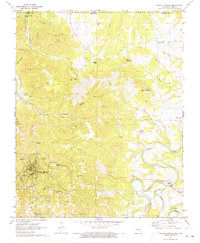 1972 Eureka Springs1973 Print · USGSEureka Springs and the surrounding Ozark hills are captured in the early seventies, a landscape defined by deep river valleys and spiritual landmarks. Genealogists and historians can trace the OLD RAILROAD GRADE past Gaskins Switch or locate the Rock Springs Ch and Eureka Springs Cem.
 - 1972 Map of Blue Eye, 1974 Print
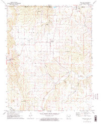 1972 Blue Eye1974 Print · USGSIn the early 1970s, the rural borderlands between Missouri and Arkansas centered on the shared community of Blue Eye. Researchers can trace decades of local history through sites like Cosmic Cavern, Oakgrove, and several family cemeteries including Boyd and Yocum.2 unique versions available
Showing maps 1-25 of 28
Top cities of Carroll County
- Berryville historical maps
- Green Forest historical maps
- Eureka Springs historical maps
- Hough historical maps
- Oak Grove historical maps
- Beaver historical maps
See more
Frequently asked questions
- What are the different types of historical maps available for Carroll County?
- What is the oldest map of Carroll County?
- Where can I purchase historical maps of Carroll County for my home or office?
- Where can I download high-res historical maps of Carroll County?
- Are there historical topographic maps available for Carroll County?
- Is there historical aerial imagery available for Carroll County?
- Where are historical maps of Carroll County sourced from?