2020s Maps of Carroll County, Arkansas
Explore 34 historic maps of Carroll County from the 2020s. These maps offer a rare glimpse into what life looked like during the 2020s — showing old roads, neighborhoods, homes, and landmarks that have changed or disappeared over time.
Whether you're researching your family's past, planning a metal detecting trip, or studying how Carroll County's landscape evolved across the 2020s, these high-resolution maps are a powerful tool for exploring the history of this region.
- Focus on a specific era: All maps on this page are from the 2020s, giving you a focused view of this time period.
- See what’s changed: Compare century-old streets, trails, and buildings to today's modern landscape using overlays and satellite layers.
- Research with precision: Use these maps for genealogy, historical research, land use analysis, or educational projects.
- View, download, or print: Maps are fully viewable online in high resolution, and can be downloaded or printed for your own records.
Start exploring Carroll County's history through authentic maps from the 2020s. This is your window into the past.
Carroll County, AR maps
(34)- 2020 Map of War Eagle, 2020 Print
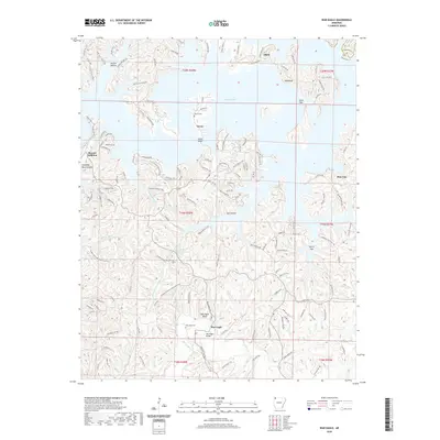 2020 War Eagle2020 Print · USGSThe Ozark highlands meet the waters of Beaver Lake in this contemporary survey of Benton County. Researchers can trace historic family sites and landmarks like War Eagle Bridge, the War Eagle Cem, and the old community of Glade along the county line.
 - 2020 Map of Denver, 2020 Print
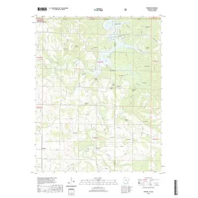 2020 Denver2020 Print · USGSThe Arkansas-Missouri state line passes through this Ozark plateau region in the 2020s, highlighting the communities of Denver and Farewell. Local historians can trace family locations near Denver Cem or explore the rugged hollows surrounding Table Rock Lake.
 - 2020 Map of Blue Eye, 2020 Print
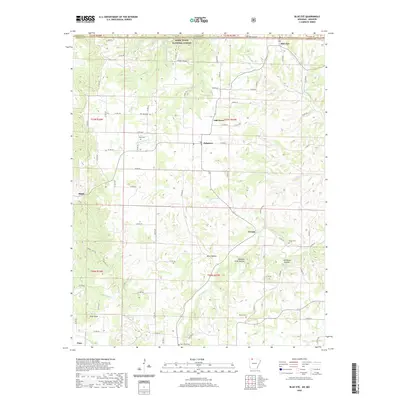 2020 Blue Eye2020 Print · USGSThe border country between Arkansas and Missouri comes into focus in this recent survey of the Carroll County highlands. Genealogists can trace family landmarks and rural burial grounds such as Parker Cem, New Home Cem, and the prominent Pilot Knob.
 - 2020 Map of Garfield, 2020 Print
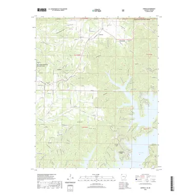 2020 Garfield2020 Print · USGSBenton County, Arkansas, is captured here as the Ozark landscape meets the expansive waters of Beaver Lake. Researchers can locate family landmarks like the Walnut Hill Cem or trace the boundaries of Pea Ridge National Military Park.
 - 2020 Map of Beaver, 2020 Print
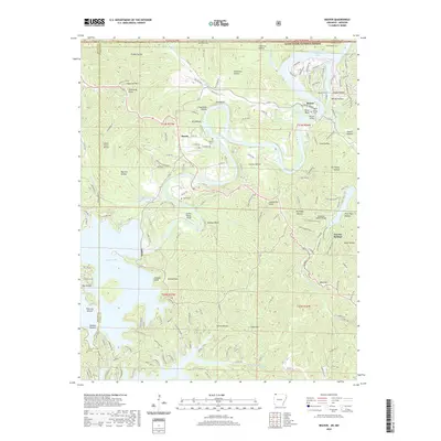 2020 Beaver2020 Print · USGSThe White River valley at the Arkansas-Missouri line comes to life in this survey of the Ozark highlands. Researchers can trace family sites at Walden Cem and Fuller Cem, or locate landmarks like the Beaver Bridge and Inspiration Point.
 - 2020 Map of Marble, 2020 Print
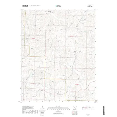 2020 Marble2020 Print · USGSThe Madison and Carroll County borderlands are shown here in the Ozark highlands during the twenty-first century. Researchers can trace local genealogy and land use through features like White Oak Cem, the settlement of Metalton, and the winding Kings River valley.
 - 2020 Map of Osage NE, 2020 Print
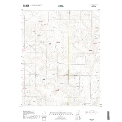 2020 Osage NE2020 Print · USGSThe upland terrain along the Carroll and Boone County line appears here in high detail, showing the rural communities of Delmar and Red Bank. Researchers can locate several family burial sites and landmarks like Dog Branch Cem, Bee Bluff, and Brewer Lake.
 - 2020 Map of Berryville, 2020 Print
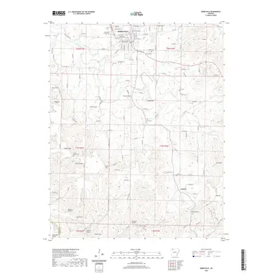 2020 Berryville2020 Print · USGSBerryville and its surrounding hollows are captured here at the start of the 2020s, showing a landscape where town life meets the steep ridges of Carroll County. Researchers can locate family landmarks like Berryville Memorial Cem and Briley Cem or trace the drainage of Osage Creek.
 - 2020 Map of Osage, 2020 Print
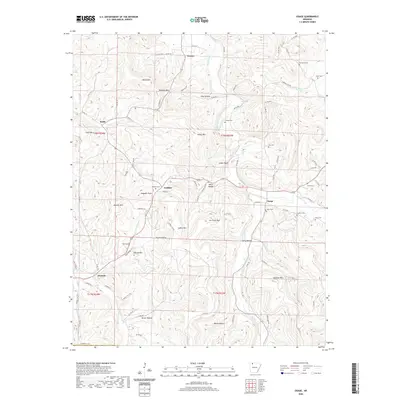 2020 Osage2020 Print · USGSThe hills and hollows of Carroll County come to life in this contemporary survey of the Ozark backcountry. Researchers can locate remote family landmarks and cemeteries such as Sisco Cem, Gobbler, and the high peak of Jim Fultz Mtn.
 - 2020 Map of Rockhouse, 2020 Print
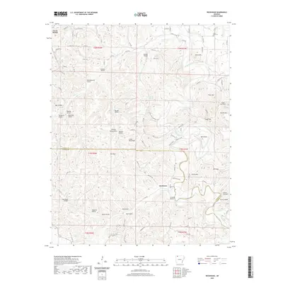 2020 Rockhouse2020 Print · USGSThe Ozark highlands along the Carroll and Madison County line are captured in this recent survey, featuring the winding Kings River corridor. Researchers can locate the Rockhouse Cemetery, the settlement of Rockhouse, and the upland Trigger Gap Airport.
 - 2020 Map of Osage SW, 2020 Print
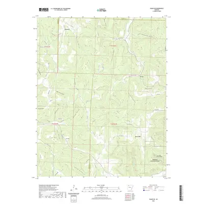 2020 Osage SW2020 Print · USGSNewton and Madison counties are shown here in the Ozark highlands, where high ridges meet the deep drainages of the Buffalo River watershed. Trace family landmarks like Hopewell Cem or old settlements at George, Stoverville, and Dinsmore.
 - 2020 Map of Green Forest, 2020 Print
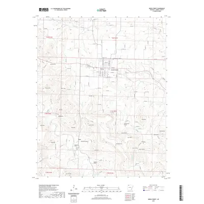 2020 Green Forest2020 Print · USGSGreen Forest and the surrounding Carroll County highlands are documented here during the early twenty-first century. Genealogists can locate family-named sites across the ridges, from Pickens Cem to the rural settlement of Rule and Rule Cem.
 - 2020 Map of Sandstone Mountain, 2020 Print
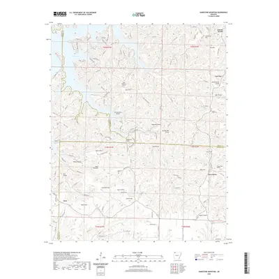 2020 Sandstone Mountain2020 Print · USGSThe Ozark highlands at the headwaters of Beaver Lake are shown here as they appeared in 2020. Genealogists and historians can trace family land near Beulah Union Cem, the community of Lone Star, and several named valley sites like Hogscald Hollow and Pemberton Hollow.
 - 2020 Map of Ponca, 2020 Print
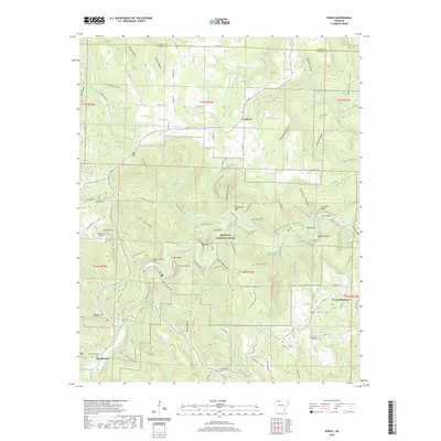 2020 Ponca2020 Print · USGSThe Buffalo River corridor in Newton County appears here during a period of modern conservation and rural stability. Genealogists and hikers can locate family landmarks like Beechwood Cemetery or trace paths through Hemmed-In-Hollow and Big Bluff.
 - 2020 Map of Alpena, 2020 Print
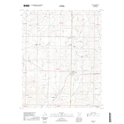 2020 Alpena2020 Print · USGSThe hills of Northwest Arkansas appear in detail in 2020, showing the rural communities of Alpena and Carrollton. Genealogists can trace several local burial sites including Oak Hills Cem and McCracken Cem, while topography hunters can locate Pine Mtn and Chaney Bluff.
 - 2020 Map of Eureka Springs, 2020 Print
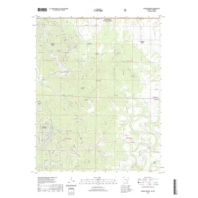 2020 Eureka Springs2020 Print · USGSEureka Springs and the surrounding Ozark highlands are captured here in the contemporary era, showing the intersection of resort life and rural tradition. Genealogists and local historians can trace burial sites at Gaskins Switch Cem or follow the waters from Magnetic Spring to the Kings River.
 - 2020 Map of Grandview, 2020 Print
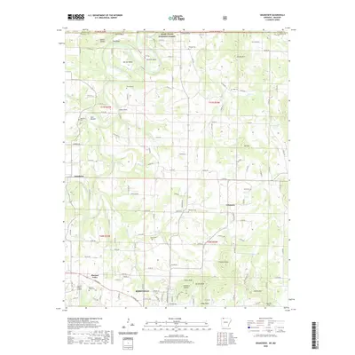 2020 Grandview2020 Print · USGSBerryville and the winding Kings River valley are captured in this recent survey of Carroll County, Arkansas. Researchers can locate numerous local burial grounds like Jones Cem and Bunch Cem or trace the terrain from Gallion Bluff to Ant Mtn.
 - 2024 Map of Osage, 2024 Print
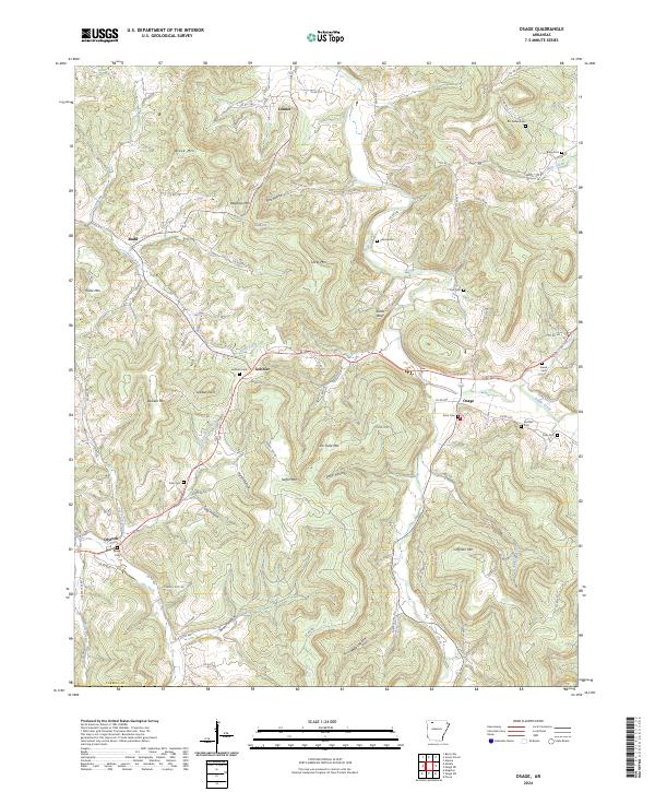 2024 Osage2024 Print · USGSCarroll County, Arkansas, remains a landscape of deep hollows and high ridges as seen in this modern survey. Genealogists can trace family roots through sites like Mc Gehee Cem, Fancher Cem, and the old crossroads at Gobbler and Osage.
 - 2024 Map of Marble, 2024 Print
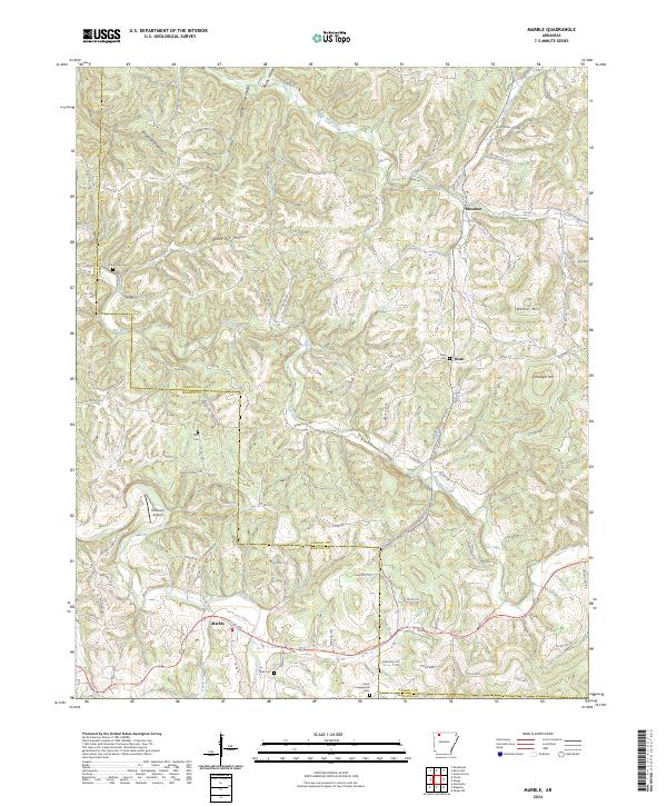 2024 Marble2024 Print · USGSThe Ozark highlands at the Carroll and Madison County line remain a network of hollows and ridges in this recent survey. Researchers can locate remote burial sites like Mert Cem and trace the paths of Piney Creek and the Kings River.
 - 2024 Map of Alpena, 2024 Print
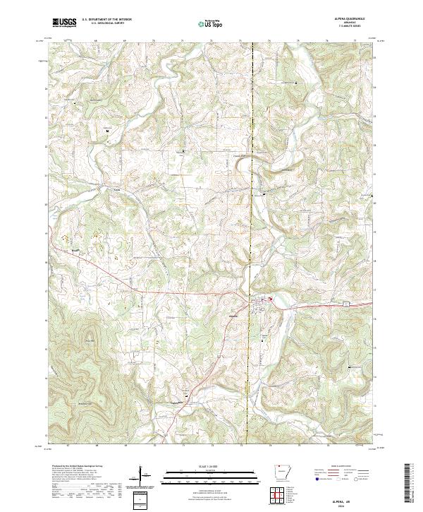 2024 Alpena2024 Print · USGSThe hills around Alpena and Carrollton are mapped here in the modern era, showing the enduring rural layout of Carroll County. Genealogists can trace family locations through numerous sites like McCracken Cem, Carrollton Cem, and the old settlement at Coin.
 - 2024 Map of Osage NE, 2024 Print
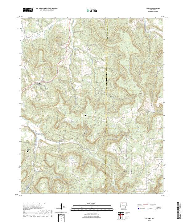 2024 Osage NE2024 Print · USGSThe Ozark highlands of Carroll and Boone Counties come into focus in this contemporary survey of rural Arkansas. Genealogists and local historians can trace family ties at community landmarks like Dog Branch Cem, Delmar, and Hilltop Cem.
 - 2024 Map of Rockhouse, 2024 Print
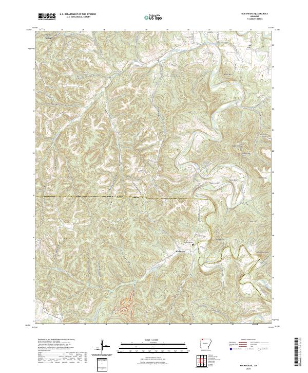 2024 Rockhouse2024 Print · USGSThe Carroll and Madison county line comes into focus in this recent survey of the Arkansas Ozarks. Local historians can trace family ties at the Rockhouse Cem or follow the deep hollows of Wildcat Hollow and Bear Hollow along the Kings River.
 - 2024 Map of Ponca, 2024 Print
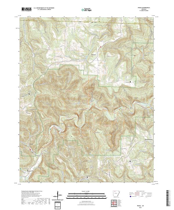 2024 Ponca2024 Print · USGSThe Buffalo River corridor in Newton County comes alive in this current topographical survey of the Arkansas Ozarks. Researchers can trace historic local sites like Mountain Springs Cem, the Ponca Int Airport, and the river bluffs at Roark Bluff.
 - 2024 Map of Osage SW, 2024 Print
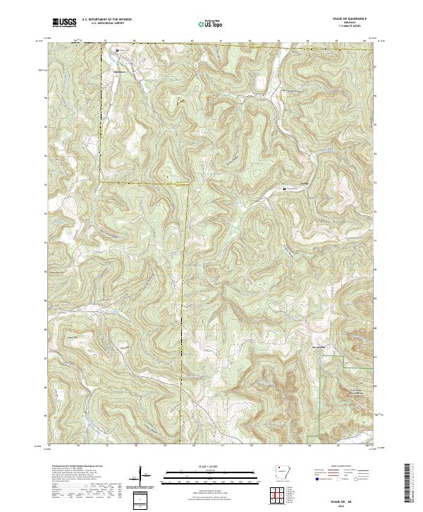 2024 Osage SW2024 Print · USGSThe northern Ozarks come into focus in the early twenty-first century, showing the intricate hollows and ridges where the Buffalo River headwaters begin. Researchers can trace local lineages at Liberty Cem or locate old community centers like Dinsmore and Stoverville.
 - 2024 Map of Berryville, 2024 Print
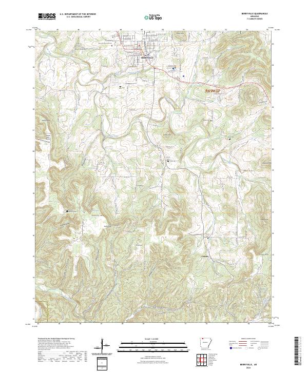 2024 Berryville2024 Print · USGSBerryville and the surrounding Carroll County highlands are documented here in recent years, centered on the historic County Courthouse. Researchers can trace rural lineages through numerous local burial sites like Briley Cem and Snow Cem near Pension Mtn.
Showing maps 1-25 of 34
Top cities of Carroll County
- Berryville historical maps
- Green Forest historical maps
- Eureka Springs historical maps
- Hough historical maps
- Oak Grove historical maps
- Beaver historical maps
See more
Frequently asked questions
- What are the different types of historical maps available for Carroll County?
- What is the oldest map of Carroll County?
- Where can I purchase historical maps of Carroll County for my home or office?
- Where can I download high-res historical maps of Carroll County?
- Are there historical topographic maps available for Carroll County?
- Is there historical aerial imagery available for Carroll County?
- Where are historical maps of Carroll County sourced from?