Old Maps of Love Creek, Arkansas for Genealogy
Trace your family roots with 12 historic maps of Love Creek. These high-res maps reveal old neighborhoods, homesites, landmarks, and streets — helping you uncover where your ancestors lived and how the area evolved over time.
- Explore historic neighborhoods: Identify where your relatives may have lived in the 1800s or 1900s.
- Compare maps over time: Trace the changes in streets, buildings, and landmarks for multi-generational research.
- Perfect for genealogy & ancestry research: Used by family historians and researchers to map out lineage and migration.
These maps are an incredible resource for exploring your personal connection to Love Creek's past.
Love Creek, AR maps
(12)- 1943 Map of Antoine
 1943 Antoine1943 Print · USGSPike and Clark counties come into focus during the early 1940s, highlighting a landscape of river-bottom settlements and upland timber tracts. Researchers can trace family roots at Meeks Settlement or locate remote rural landmarks like Rosewall Sch and Nutts.3 unique versions available
 - 1955 Map of Little Rock, 1978 Print
 1955 Little Rock1978 Print · USGSCentral Arkansas in the mid-fifties exhibits a landscape of growing cities, massive military installations, and mountain reservoirs. Genealogists and historians can trace the industrial Bauxite Mines, regional rail lines, and local landmarks like Antioch Church.
 - 1956 Map of Little Rock
 1956 Little Rock1956 Print · USGSCentral Arkansas in the mid-fifties shows a landscape defined by burgeoning military bases and the timber-and-mineral wealth of the Ouachitas. Genealogists and researchers can trace old rail lines like the Missouri Pacific and find established communities such as Bauxite, Sheridan, and Mabelvale.
 - 1960 Map of Little Rock
 1960 Little Rock1960 Print · USGSCentral Arkansas in the late fifties shows a landscape of growing military bases and massive new reservoirs. Local historians can trace the mid-century expansion of Little Rock and Hot Springs alongside the industrial works at Bauxite and the Pine Bluff Arsenal.
 - 1964 Map of Little Rock
 1964 Little Rock1964 Print · USGSCentral Arkansas in the mid-sixties is a landscape of mountain ridges, industrial rail lines, and growing military hubs. Researchers can trace the development of Bauxite and Hot Springs or locate rural landmarks like Sparkman and the Pine Bluff Arsenal.
 - 1975 Map of Okolona North, 1978 Print
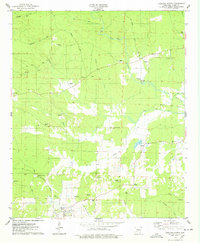 1975 Okolona North1978 Print · USGSClark County, Arkansas, appears here in the mid-seventies, a landscape of timbered hills and bottomlands along the Terre Noire Creek. Researchers can trace old family burial grounds at Peeples Cemetery and Wier Cemetery or locate the Kathleen Siding on the Missouri Pacific rail line.
 - 1986 Map of Arkadelphia
 1986 Arkadelphia1986 Print · USGSSouthwest Arkansas in the mid-eighties shows a landscape of timbered ridges and significant new reservoirs. Researchers can trace rural schoolhouses and churches like Sunshine Sch and Hempwallace Ch alongside the famous Crater of Diamonds State Park.2 unique versions available
 - 2011 Map of Okolona North, 2011 Print
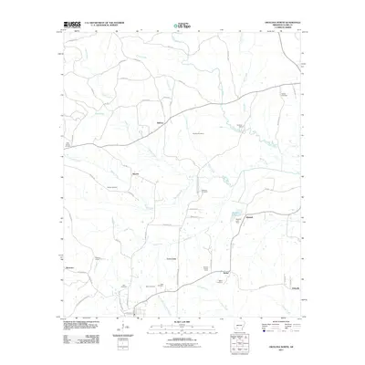 2011 Okolona North2011 Print · USGSThe Clark County countryside comes alive in this modern survey, showing a network of small settlements and family cemeteries. Genealogists and historians can trace local roots through sites like Pettus Cemetery, McAlly Cemetery, and the rail siding at Kathleen Siding.
 - 2014 Map of Okolona North, 2014 Print
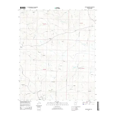 2014 Okolona North2014 Print · USGSNorth of Okolona in the early twenty-first century, this Arkansas landscape is a network of small crossroads settlements and family cemeteries. Researchers can trace land tracts near Dobyville, Smyrna, and the burial sites at Pettus Cem and McAnally Cem.
 - 2017 Map of Okolona North, 2017 Print
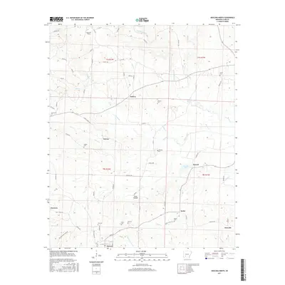 2017 Okolona North2017 Print · USGSThe Clark County countryside north of Okolona is shown here in the late twenty-teens, a landscape shaped by the Terre Noire Creek and its many tributaries. Family researchers will find numerous small burial grounds including Wier Cem, Peeples Cem, and Bethel Cem near settlements like Smyrna and Halfway.
 - 2020 Map of Okolona North, 2020 Print
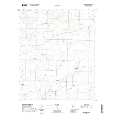 2020 Okolona North2020 Print · USGSClark County in the early twenty-first century reveals a deeply rooted rural landscape of family-named settlements and cemeteries. Researchers can trace ancestral lines through sites like Wier Cem and Ross Cem near the town of Okolona.
 - 2024 Map of Okolona North, 2024 Print
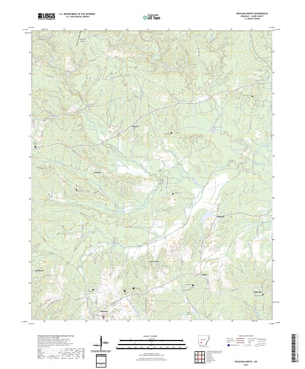 2024 Okolona North2024 Print · USGSClark County, Arkansas, maintains a traditional rural character in these modern surveys, centered on the historic town of Okolona. Genealogists and historians can trace numerous family burial sites like Pettus Cem and Ross Cem alongside the waters of Terre Noire Creek.
End of results
Showing maps 1-12 of 12
Top cities near Love Creek
- Arkadelphia historical maps
- Arkadelphia historical maps
- Prescott historical maps
- Gurdon historical maps
- Caddo Valley historical maps
- Delight historical maps
See more
Frequently asked questions
- What are the different types of historical maps available for Love Creek?
- What is the oldest map of Love Creek?
- Where can I purchase historical maps of Love Creek for my home or office?
- Where can I download high-res historical maps of Love Creek?
- Are there historical topographic maps available for Love Creek?
- Is there historical aerial imagery available for Love Creek?
- Where are historical maps of Love Creek sourced from?