2020s Maps of Cleburne County, Arkansas
Explore 36 historic maps of Cleburne County from the 2020s. These maps offer a rare glimpse into what life looked like during the 2020s — showing old roads, neighborhoods, homes, and landmarks that have changed or disappeared over time.
Whether you're researching your family's past, planning a metal detecting trip, or studying how Cleburne County's landscape evolved across the 2020s, these high-resolution maps are a powerful tool for exploring the history of this region.
- Focus on a specific era: All maps on this page are from the 2020s, giving you a focused view of this time period.
- See what’s changed: Compare century-old streets, trails, and buildings to today's modern landscape using overlays and satellite layers.
- Research with precision: Use these maps for genealogy, historical research, land use analysis, or educational projects.
- View, download, or print: Maps are fully viewable online in high resolution, and can be downloaded or printed for your own records.
Start exploring Cleburne County's history through authentic maps from the 2020s. This is your window into the past.
Cleburne County, AR maps
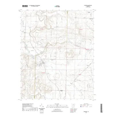
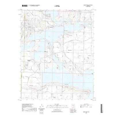
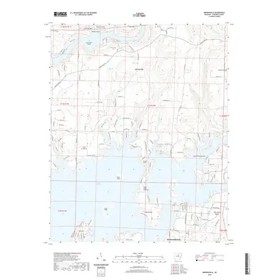
(36)- 2020 Map of Greers Ferry Dam, 2020 Print
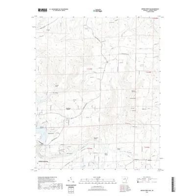 2020 Greers Ferry Dam2020 Print · USGSCovers Cleburne County, including Heber Springs, Tumbling Shoals, and other nearby areas
 - 2020 Map of Concord, 2020 Print
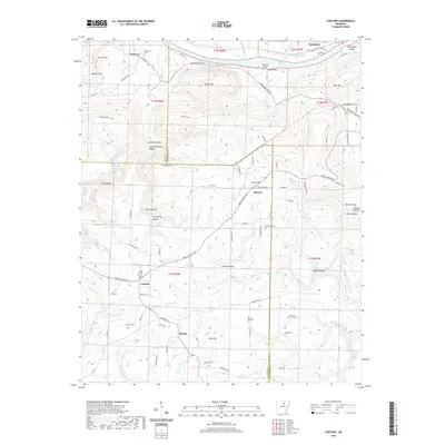 2020 Concord2020 Print · USGSCovers Cleburne County, including Concord, Earnheart, and other nearby areas
 - 2020 Map of West Pangburn, 2020 Print
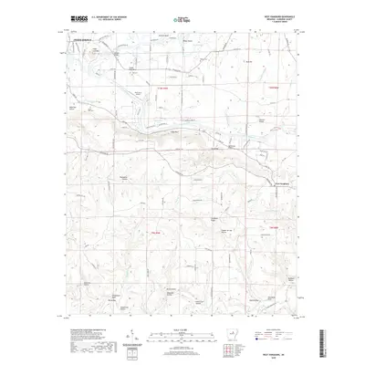 2020 West Pangburn2020 Print · USGSCovers Cleburne County, including Heber Springs, Snell, and other nearby areas
 - 2020 Map of Drasco, 2020 Print
 2020 Drasco2020 Print · USGSCovers Cleburne County, including Concord, Wolf Bayou, and other nearby areas
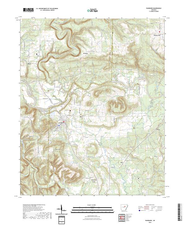
 - 2020 Map of Pangburn, 2020 Print
 2020 Pangburn2020 Print · USGSCovers Cleburne County, including Pangburn, Hiram, and other nearby areas
 - 2020 Map of Letona, 2020 Print
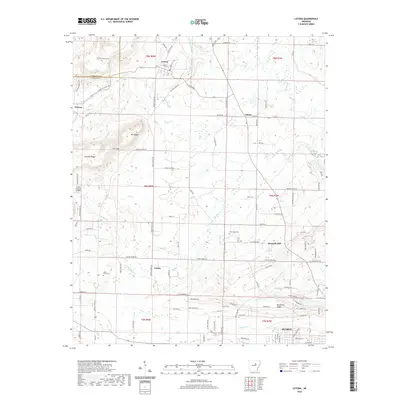 2020 Letona2020 Print · USGSCovers Cleburne County, including Searcy, Letona, and other nearby areas
 - 2020 Map of Sidon, 2020 Print
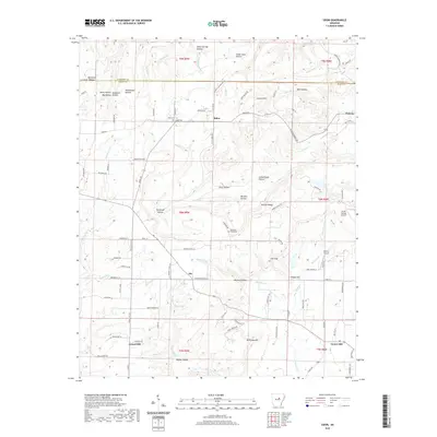 2020 Sidon2020 Print · USGSCovers Cleburne County, including Center Hill, Sidon, and other nearby areas
 - 2020 Map of Floral, 2020 Print
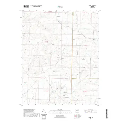 2020 Floral2020 Print · USGSCovers Cleburne County, including Floral, White County, and other nearby areas
 - 2020 Map of Heber Springs, 2020 Print
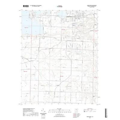 2020 Heber Springs2020 Print · USGSCovers Cleburne County, including Heber Springs, South Shore Park, and other nearby areas
 - 2020 Map of Rose Bud, 2020 Print
 2020 Rose Bud2020 Print · USGSCovers Cleburne County, including Rose Bud, Hart, and other nearby areas
 - 2020 Map of Guy, 2020 Print
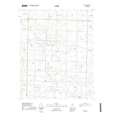
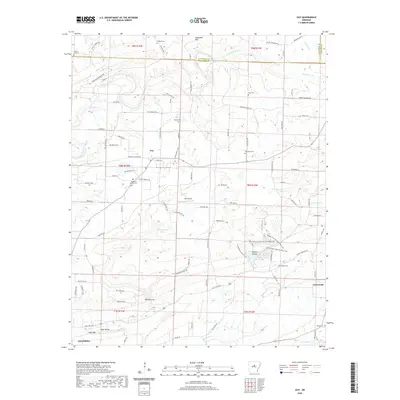 2020 Guy2020 Print · USGSCovers Cleburne County, including Greenbrier, Guy, and other nearby areas
 - 2020 Map of Prim, 2020 Print
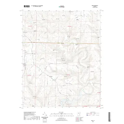 2020 Prim2020 Print · USGSCovers Cleburne County, including Woodrow, Prim, and other nearby areas
 - 2020 Map of Morganton, 2020 Print
 2020 Morganton2020 Print · USGSCovers Cleburne County, including Gravesville, Fairbanks, and other nearby areas
 - 2020 Map of Barney, 2020 Print
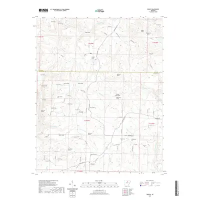
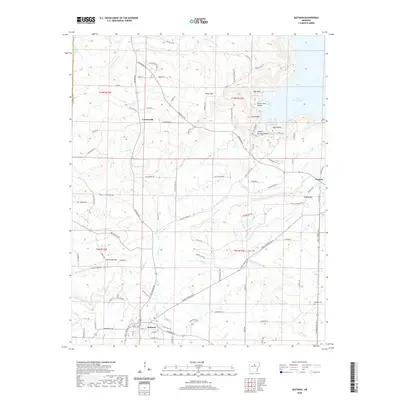
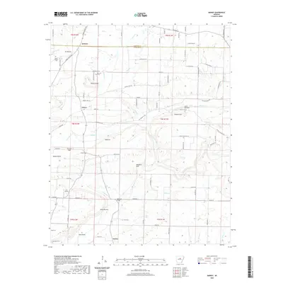 2020 Barney2020 Print · USGSCovers Cleburne County, including Quitman, Enders, and other nearby areas
 - 2020 Map of Parma, 2020 Print
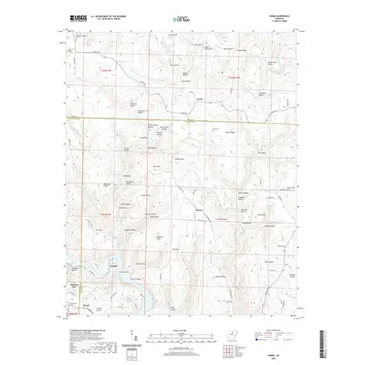 2020 Parma2020 Print · USGSCovers Cleburne County, including Fairfield Bay, Sunny Slope, and other nearby areas
 - 2020 Map of Greers Ferry, 2020 Print
 2020 Greers Ferry2020 Print · USGSCovers Cleburne County, including Fairfield Bay, Greers Ferry, and other nearby areas
 - 2020 Map of Brownsville, 2020 Print
 2020 Brownsville2020 Print · USGSCovers Cleburne County, including Heber Springs, Lake Ridge, and other nearby areas
 - 2020 Map of Quitman, 2020 Print
 2020 Quitman2020 Print · USGSCovers Cleburne County, including Quitman, Pearson, and other nearby areas
 - 2024 Map of Sidon, 2024 Print
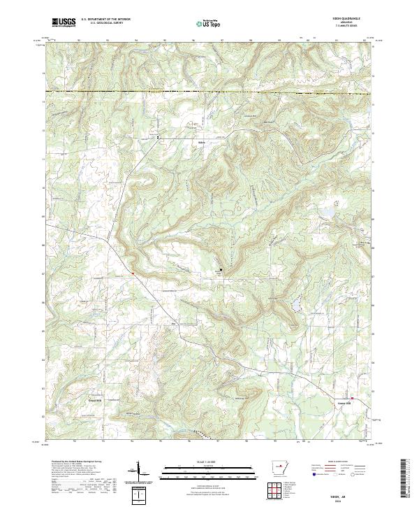 2024 Sidon2024 Print · USGSModern-day White County settlement patterns are showcased here, reflecting a landscape of ridge-top roads and creek-hollow drainages. Researchers can trace family roots at Sidon Cem or locate rural landmarks like Sweet Springs Airport and Gravel Hill.
 - 2024 Map of Drasco, 2024 Print
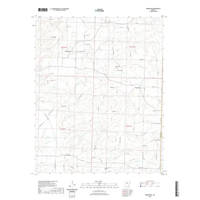
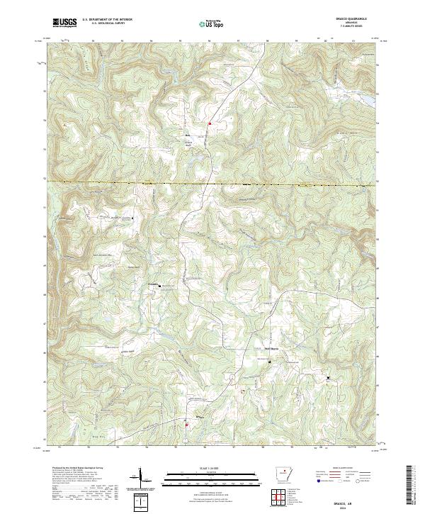 2024 Drasco2024 Print · USGSThe Ozark foothills near the Cleburne and Stone County line are shown here in the 2020s, featuring the rural settlements of Drasco and Wolf Bayou. Genealogists and local historians can trace family locations near Macedonia Cem, Sam Johnson Mtn, and Victoria Bluffs.
 - 2024 Map of Pangburn, 2024 Print
 2024 Pangburn2024 Print · USGSWhite County and the banks of the Little Red River are shown here during the early twenty-first century. Genealogists and local historians can trace family locations near Pangburn through sites like Barnett Cem, McJester, and the rural community of Hiram.
 - 2024 Map of Letona, 2024 Print
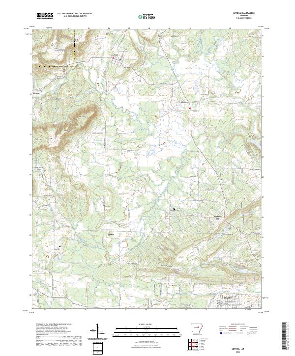 2024 Letona2024 Print · USGSWhite County, Arkansas, is captured here in the present day as a blend of rural settlements and rising ridges north of Searcy. Genealogists and local historians can locate several traditional burial sites and small communities, including Saint Pauls Cem, Albion, and the highland area of Mt Pisgah.
 - 2024 Map of Guy, 2024 Print
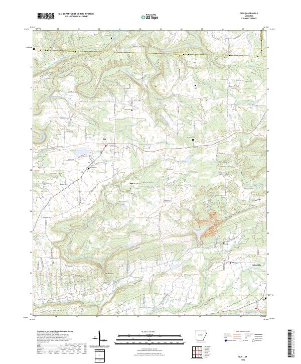 2024 Guy2024 Print · USGSThe rural landscapes of northern Faulkner County come into focus here during the mid-2020s, centered on the community of Guy. Researchers can locate several historic burial sites like Old Texas Cem and King Cem or trace the winding course of Cadron Creek.
 - 2024 Map of Concord, 2024 Print
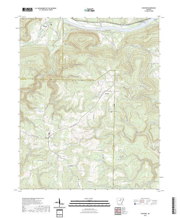 2024 Concord2024 Print · USGSThe northern Arkansas foothills meet the White River in this recent survey of the tri-county borderlands. Genealogists can trace family connections at Starnes Spring Cem or Alexander Cem while exploring the rural reaches of Concord and Almond.
 - 2024 Map of Floral, 2024 Print
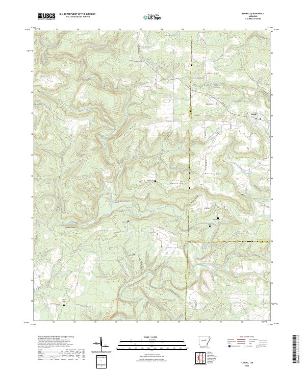 2024 Floral2024 Print · USGSThe upland ridges and hollows near Floral are shown here as they appeared in the early twenty-first century. Genealogists can trace a remarkable number of local burial sites, including Moore Cem, Burkett Cem, and Mason Cem.
Showing maps 1-25 of 36
Top cities of Cleburne County
- Heber Springs historical maps
- Greers Ferry historical maps
- Quitman historical maps
- Concord historical maps
- Higden historical maps
Frequently asked questions
- What are the different types of historical maps available for Cleburne County?
- What is the oldest map of Cleburne County?
- Where can I purchase historical maps of Cleburne County for my home or office?
- Where can I download high-res historical maps of Cleburne County?
- Are there historical topographic maps available for Cleburne County?
- Is there historical aerial imagery available for Cleburne County?
- Where are historical maps of Cleburne County sourced from?