2000s (21st Century) Maps of Cleburne County, Arkansas
Explore 90 historic maps of Cleburne County from the 2000s (21st Century). These maps offer a rare glimpse into what life looked like during the 2000s — showing old roads, neighborhoods, homes, and landmarks that have changed or disappeared over time.
Whether you're researching your family's past, planning a metal detecting trip, or studying how Cleburne County's landscape evolved across the 2000s, these high-resolution maps are a powerful tool for exploring the history of this region.
- Focus on a specific era: All maps on this page are from the 2000s, giving you a focused view of this time period.
- See what’s changed: Compare century-old streets, trails, and buildings to today's modern landscape using overlays and satellite layers.
- Research with precision: Use these maps for genealogy, historical research, land use analysis, or educational projects.
- View, download, or print: Maps are fully viewable online in high resolution, and can be downloaded or printed for your own records.
Start exploring Cleburne County's history through authentic maps from the 2000s. This is your window into the past.
Cleburne County, AR maps
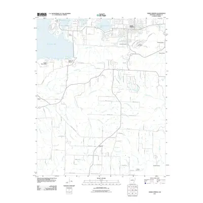
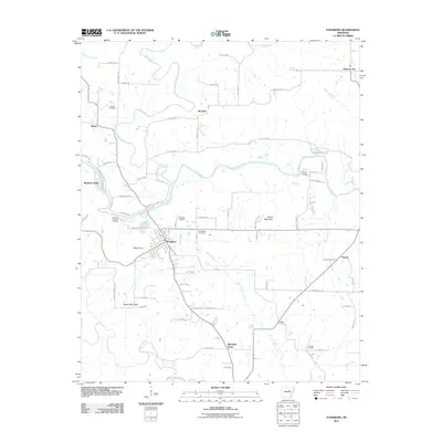
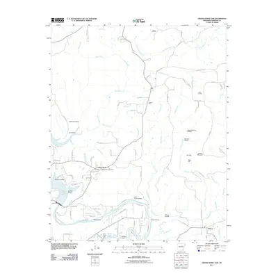
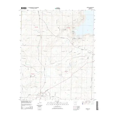
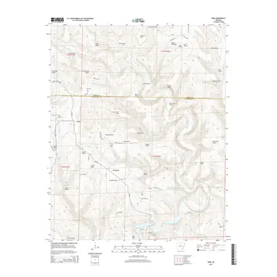
(90)- 2011 Map of Guy, 2011 Print
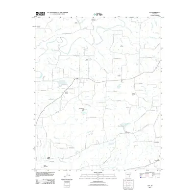 2011 Guy2011 Print · USGSCovers Cleburne County, including Greenbrier, Guy, and other nearby areas
 - 2011 Map of Brownsville, 2011 Print
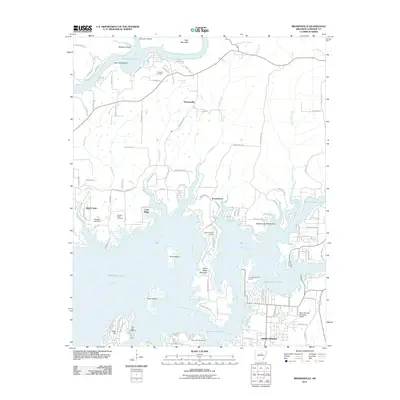 2011 Brownsville2011 Print · USGSCovers Cleburne County, including Heber Springs, Lake Ridge, and other nearby areas
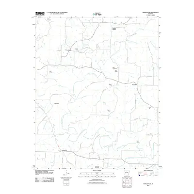
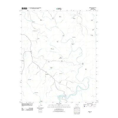
 - 2011 Map of Quitman, 2011 Print
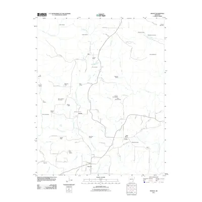
 2011 Quitman2011 Print · USGSCovers Cleburne County, including Quitman, Pearson, and other nearby areas
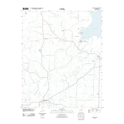
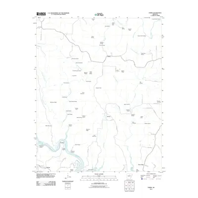
 - 2011 Map of Morganton, 2011 Print
 2011 Morganton2011 Print · USGSCovers Cleburne County, including Gravesville, Fairbanks, and other nearby areas
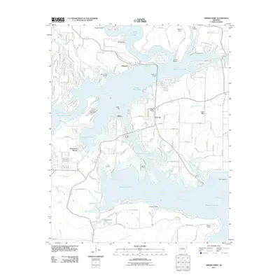
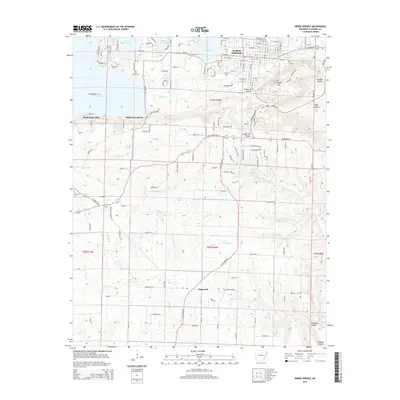
 - 2011 Map of Heber Springs, 2011 Print
 2011 Heber Springs2011 Print · USGSCovers Cleburne County, including Heber Springs, South Shore Park, and other nearby areas
 - 2011 Map of Greers Ferry, 2011 Print
 2011 Greers Ferry2011 Print · USGSCovers Cleburne County, including Fairfield Bay, Greers Ferry, and other nearby areas
 - 2011 Map of Prim, 2011 Print
 2011 Prim2011 Print · USGSCovers Cleburne County, including Woodrow, Prim, and other nearby areas
 - 2011 Map of Parma, 2011 Print
 2011 Parma2011 Print · USGSCovers Cleburne County, including Fairfield Bay, Sunny Slope, and other nearby areas
 - 2011 Map of Barney, 2011 Print
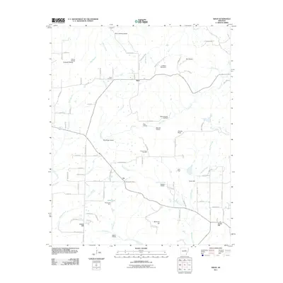
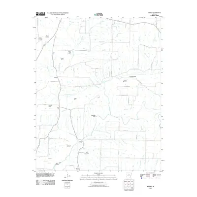 2011 Barney2011 Print · USGSCovers Cleburne County, including Quitman, Enders, and other nearby areas
 - 2011 Map of Rose Bud, 2011 Print
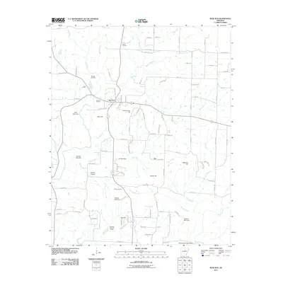 2011 Rose Bud2011 Print · USGSCovers Cleburne County, including Rose Bud, Hart, and other nearby areas
 - 2011 Map of Pangburn, 2011 Print
 2011 Pangburn2011 Print · USGSCovers Cleburne County, including Pangburn, Hiram, and other nearby areas
 - 2011 Map of Drasco, 2011 Print
 2011 Drasco2011 Print · USGSCovers Cleburne County, including Concord, Wolf Bayou, and other nearby areas
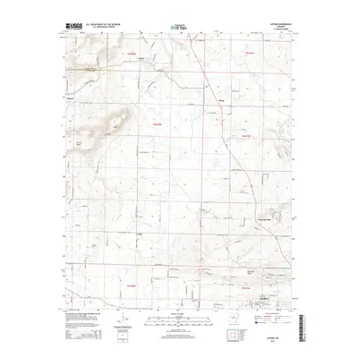
 - 2011 Map of Letona, 2011 Print
 2011 Letona2011 Print · USGSCovers Cleburne County, including Searcy, Letona, and other nearby areas
 - 2011 Map of Sidon, 2011 Print
 2011 Sidon2011 Print · USGSCovers Cleburne County, including Center Hill, Sidon, and other nearby areas
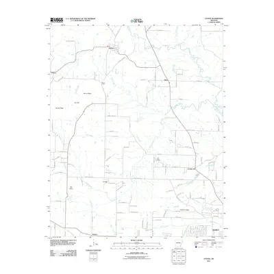
 - 2011 Map of Floral, 2011 Print
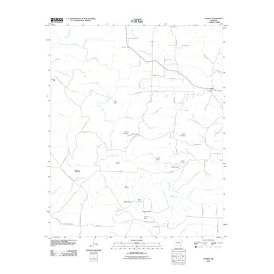 2011 Floral2011 Print · USGSCovers Cleburne County, including Floral, White County, and other nearby areas
 - 2011 Map of Concord, 2011 Print
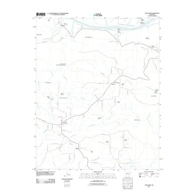 2011 Concord2011 Print · USGSCovers Cleburne County, including Concord, Earnheart, and other nearby areas
 - 2011 Map of Greers Ferry Dam, 2011 Print
 2011 Greers Ferry Dam2011 Print · USGSCovers Cleburne County, including Heber Springs, Tumbling Shoals, and other nearby areas
 - 2011 Map of West Pangburn, 2011 Print
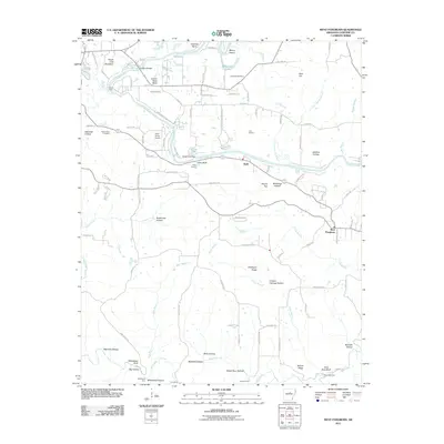 2011 West Pangburn2011 Print · USGSCovers Cleburne County, including Heber Springs, Snell, and other nearby areas
 - 2014 Map of Pangburn, 2014 Print
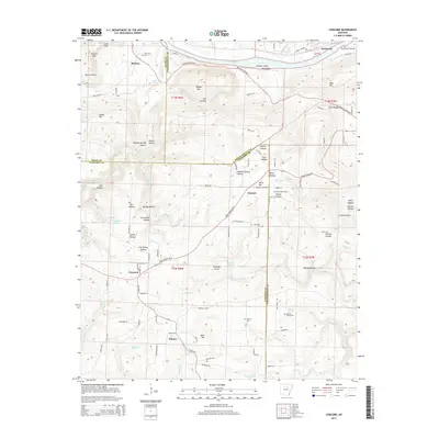
 2014 Pangburn2014 Print · USGSCovers Cleburne County, including Pangburn, Hiram, and other nearby areas
 - 2014 Map of Concord, 2014 Print
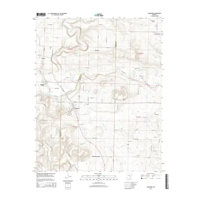
 2014 Concord2014 Print · USGSCovers Cleburne County, including Concord, Earnheart, and other nearby areas
 - 2014 Map of Quitman, 2014 Print
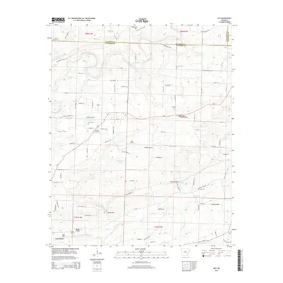
 2014 Quitman2014 Print · USGSCovers Cleburne County, including Quitman, Pearson, and other nearby areas
 - 2014 Map of Guy, 2014 Print
 2014 Guy2014 Print · USGSCovers Cleburne County, including Greenbrier, Guy, and other nearby areas
 - 2014 Map of Letona, 2014 Print
 2014 Letona2014 Print · USGSCovers Cleburne County, including Searcy, Letona, and other nearby areas
 - 2014 Map of Heber Springs, 2014 Print
 2014 Heber Springs2014 Print · USGSCovers Cleburne County, including Heber Springs, South Shore Park, and other nearby areas
 - 2014 Map of Prim, 2014 Print
 2014 Prim2014 Print · USGSCovers Cleburne County, including Woodrow, Prim, and other nearby areas
Showing maps 1-25 of 90
Top cities of Cleburne County
- Heber Springs historical maps
- Greers Ferry historical maps
- Quitman historical maps
- Concord historical maps
- Higden historical maps
Frequently asked questions
- What are the different types of historical maps available for Cleburne County?
- What is the oldest map of Cleburne County?
- Where can I purchase historical maps of Cleburne County for my home or office?
- Where can I download high-res historical maps of Cleburne County?
- Are there historical topographic maps available for Cleburne County?
- Is there historical aerial imagery available for Cleburne County?
- Where are historical maps of Cleburne County sourced from?