Old Maps of Clarkedale, Arkansas for Metal Detecting
Plan your next treasure hunt with 24 historic maps of Clarkedale. Find old homesites, ghost towns, trails, and gathering spots that may be lost to time — perfect for identifying promising metal detecting locations.
- Locate forgotten sites: Uncover places like long-lost settlements, abandoned rail lines, or gathering spots.
- Plan better hunts: Use map overlays combined with LiDAR or satellite views to narrow in on historically rich areas.
- Made for detectorists: Thousands of hobbyists use these maps to discover relics, coins, and hidden history.
Use these historic maps to boost your research and find new opportunities beneath the surface of Clarkedale.
Clarkedale, AR maps
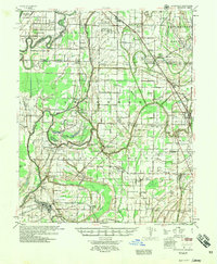
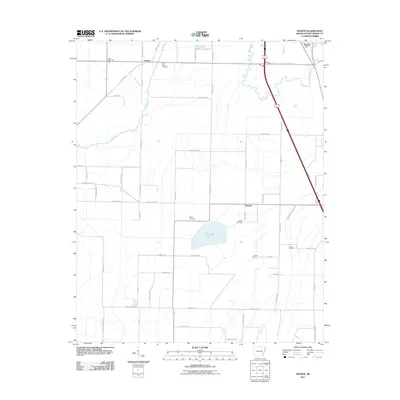
(24)- 1931 Map of Jericho
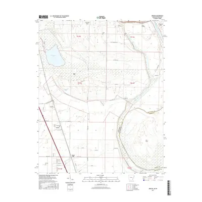
 1931 Jericho1931 Print · USGSThe Arkansas-Tennessee borderlands appear here in the early 1930s, defined by the winding Mississippi and its evolving islands. Genealogists and researchers can trace old river landings like Pecan Point, rail stops at Jericho, and the rural Mt Vernon Church.
 - 1939 Map of Jericho, 1941 Print
 1939 Jericho1941 Print · USGSThe shifting Mississippi River bottomlands come to life in this late 1930s survey of the Arkansas-Tennessee border. Researchers can trace historical river landings like Happy Valley Ldg, see the vanished tracks of the St Louis San Francisco RR, and locate rural landmarks such as Mt Olive Ch & Sch.
 - 1940 Map of Deckerville, 1942 Print
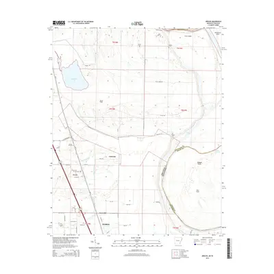
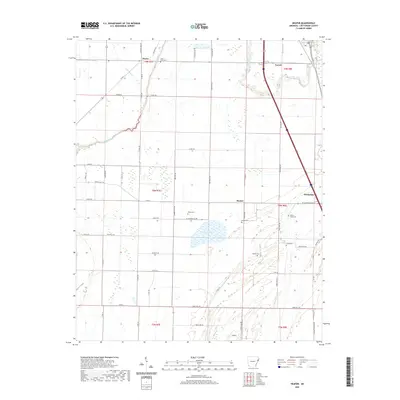
 1940 Deckerville1942 Print · USGSCrittenden and Poinsett counties are shown here as the local river-and-rail economy matured before the war. Genealogists can trace family landmarks like the King Solomon Sch & Cem, Booker Sch, and New Bethlehem Ch & Cem.
 - 1952 Map of Jericho
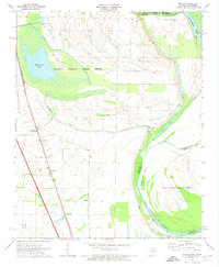
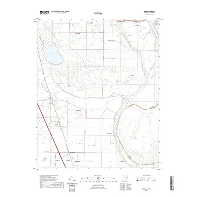
 1952 Jericho1952 Print · USGSThe Mississippi River's shifting course defines this borderland during the early 1950s, where Arkansas and Tennessee meet in a maze of chutes and islands. Researchers can trace rural lineages through numerous local sites like St Pauls Ch & Cem, Meneshea, and the Clarkedale Post Office.
 - 1953 Map of Memphis, 1966 Print
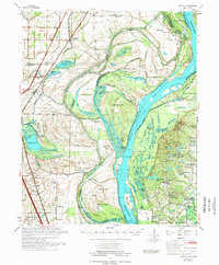
 1953 Memphis1966 Print · USGSEastern Arkansas and the Memphis riverfront are shown here during the mid-century period of regional growth and river management. Local historians can trace the paths of the Chicago Rock Island & Pacific RR through Forrest City or locate river landmarks like President's Island.3 unique versions available
 - 1956 Map of Memphis
 1956 Memphis1956 Print · USGSThe Mississippi Delta and the bluffs of West Tennessee meet in the mid-fifties, showing a landscape defined by massive river systems and rail hubs. Researchers can trace the path of Crowleys Ridge or locate vanished river landings near Centennial Island and Island No 35.
 - 1957 Map of Deckerville, 1958 Print
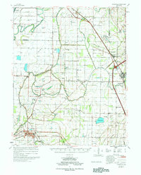
 1957 Deckerville1958 Print · USGSThe Arkansas delta in the mid-fifties is captured here during its peak era of rail-and-river transport and intensive drainage. Genealogists can trace hundreds of rural family landmarks, including New Bethlehem Ch & Sch, St Peter Sch, and Prosperity Ch Sch & Cem.
 - 1961 Map of Jericho, 1963 Print
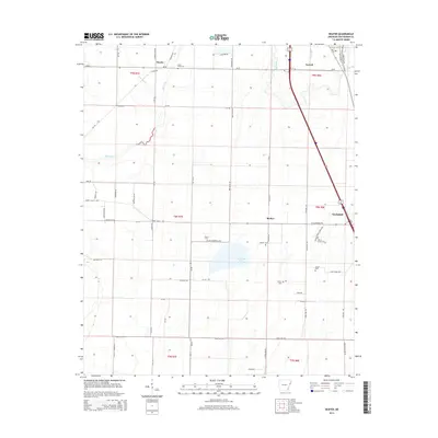
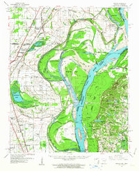 1961 Jericho1963 Print · USGSThe Mississippi River delta at the start of the 1960s reveals a world of island farming and rail-side settlements along the Arkansas-Tennessee border. Genealogists can trace family roots through numerous local landmarks, including Jericho, Clarkedale, and the St Paul School and Church.
 - 1962 Map of Jericho
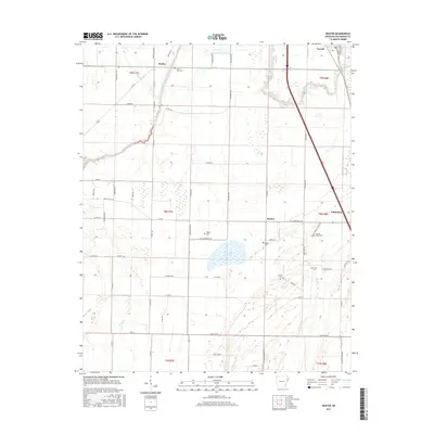
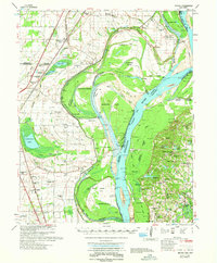 1962 Jericho1962 Print · USGSThe riverfront border of Arkansas and Tennessee is captured here in the early sixties, showing a landscape shaped by the Mississippi River. Genealogists and local historians can trace family roots through sites like Jericho, James Mill, and Lambethville, or locate rural landmarks such as Pecan Point Cem and the Shawnee Sch.
 - 1963 Map of Heafer, 1976 Print
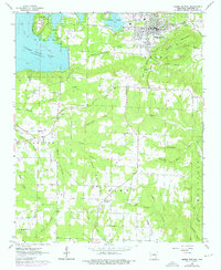 1963 Heafer1976 Print · USGSHeber Springs and the surrounding Cleburne County hills are shown during a period of growth as the Greers Ferry Lake shoreline stabilized. Researchers can locate rural landmarks like Mt Devonshire Ch, Palestine Cem, and the Old Railroad Grade.
 - 1970 Map of Jericho, 1974 Print
 1970 Jericho1974 Print · USGSCrittenden County, Arkansas, and the Mississippi riverfront appear in the 1970s as a managed landscape of agriculture and wildlife preservation. Family historians can trace small-town life in Jericho and Clarkedale, or locate rural markers like Malone Cem and New Mt Zion Ch.2 unique versions available
 - 1975 Map of Jericho
 1975 Jericho1975 Print · USGSThe Mississippi River meanders through the Arkansas and Tennessee borderlands in the mid-seventies, documenting a landscape shaped by massive river bars and drainage ditches. Trace family sites at Jericho, Frenchmans Bayou, and small country landmarks like St Paul Cem or Paradise Ch.
 - 1977 Map of Deckerville
 1977 Deckerville1977 Print · USGSCrittenden and Poinsett counties are shown in the mid-seventies, an era when extensive drainage ditch networks supported a thriving agricultural delta. Genealogists can trace family names through sites like New Bethlehem Cem, Philadelphia Ch, and the settlement at Shannonville.
 - 1986 Map of Memphis West
 1986 Memphis West1986 Print · USGSThe Mississippi River delta and the rise of Crowleys Ridge define this mid-1980s look at the Mid-South. Researchers can trace the development of West Memphis and Marion or locate landmarks like Crittenden Mem Cem and Village Creek State Park.2 unique versions available
 - 2011 Map of Jericho, 2011 Print
 2011 Jericho2011 Print · USGSCovers Clarkedale, including Marion, Jericho, and other nearby areas
 - 2011 Map of Heafer, 2011 Print
 2011 Heafer2011 Print · USGSCovers Clarkedale, including Turrell, Booker, and other nearby areas
 - 2014 Map of Jericho, 2014 Print
 2014 Jericho2014 Print · USGSCovers Clarkedale, including Marion, Jericho, and other nearby areas
 - 2014 Map of Heafer, 2014 Print
 2014 Heafer2014 Print · USGSCovers Clarkedale, including Turrell, Booker, and other nearby areas
 - 2017 Map of Heafer, 2017 Print
 2017 Heafer2017 Print · USGSCovers Clarkedale, including Turrell, Booker, and other nearby areas
 - 2017 Map of Jericho, 2017 Print
 2017 Jericho2017 Print · USGSCovers Clarkedale, including Marion, Jericho, and other nearby areas
 - 2020 Map of Heafer, 2020 Print
 2020 Heafer2020 Print · USGSCovers Clarkedale, including Turrell, Booker, and other nearby areas
 - 2020 Map of Jericho, 2020 Print
 2020 Jericho2020 Print · USGSCovers Clarkedale, including Marion, Jericho, and other nearby areas
 - 2024 Map of Jericho, 2024 Print
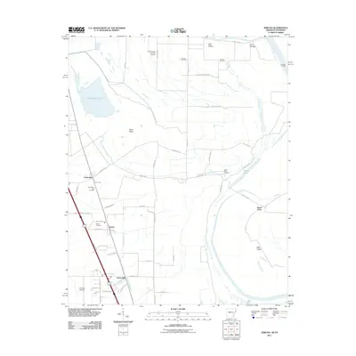
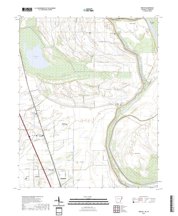 2024 Jericho2024 Print · USGSCrittenden County, Arkansas, and the Mississippi River bottoms are captured here in the mid-2020s. Researchers can locate numerous small cemeteries like Saint Marks Cem and Malone Cem near the settlements of Jericho and Clarkedale.
 - 2024 Map of Heafer, 2024 Print
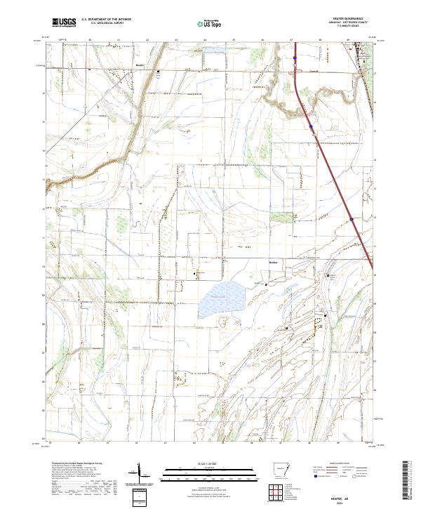 2024 Heafer2024 Print · USGSCrittenden County in the modern era maintains its deep agricultural roots alongside the protected waters of the Wapanocca National Wildlife Refuge. Researchers can locate several historic burial grounds like Saint Pauls Cem and Billow Cem or trace old routes along Big Creek.
End of results
Showing maps 1-24 of 24
Top cities near Clarkedale
- Memphis historical maps
- West Memphis historical maps
- Marion historical maps
- Marked Tree historical maps
- Earle historical maps
- Tyronza historical maps
See more
Frequently asked questions
- What are the different types of historical maps available for Clarkedale?
- What is the oldest map of Clarkedale?
- Where can I purchase historical maps of Clarkedale for my home or office?
- Where can I download high-res historical maps of Clarkedale?
- Are there historical topographic maps available for Clarkedale?
- Is there historical aerial imagery available for Clarkedale?
- Where are historical maps of Clarkedale sourced from?