Old Maps of Cherry Valley, Arkansas for Academic Research
Study the evolution of Cherry Valley with 21 high-resolution historic maps. Whether you're teaching, researching, or modeling changes in land use, these maps provide essential visual documentation of urban, environmental, and geographic change.
- Analyze long-term change: Track patterns in development, transportation, and natural features.
- Ideal for environmental or urban studies: Support academic projects with primary historical map data.
- Use in the classroom or lab: Educators and researchers rely on these maps to bring historical context to life.
These maps are a powerful tool for teaching, research, and visualizing how Cherry Valley has changed over the decades.
Cherry Valley, AR maps
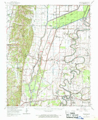
(21)- 1939 Map of Vanndale, 1941 Print
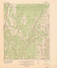 1939 Vanndale1941 Print · USGSCross and Poinsett counties are captured here in the late 1930s, showing a landscape defined by the distinct rise of Crowleys Ridge. Genealogists can locate family landmarks like Union Grove Cem and several country schools, including Rose Sch and Rolf Sch.2 unique versions available
 - 1940 Map of Princedale, 1942 Print
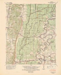 1940 Princedale1942 Print · USGSEastern Arkansas at the cusp of World War II is mapped here as a land of managed floodways and emerging rail towns. Genealogists can trace family footprints at Hare Farm Sch, Sharps Chapel, and along the banks of the St Francis River.2 unique versions available
 - 1953 Map of Memphis, 1966 Print
 1953 Memphis1966 Print · USGSEastern Arkansas and the Memphis riverfront are shown here during the mid-century period of regional growth and river management. Local historians can trace the paths of the Chicago Rock Island & Pacific RR through Forrest City or locate river landmarks like President's Island.3 unique versions available
 - 1956 Map of Memphis
 1956 Memphis1956 Print · USGSThe Mississippi Delta and the bluffs of West Tennessee meet in the mid-fifties, showing a landscape defined by massive river systems and rail hubs. Researchers can trace the path of Crowleys Ridge or locate vanished river landings near Centennial Island and Island No 35.
 - 1956 Map of Princedale, 1957 Print
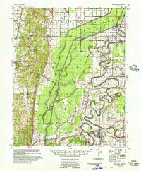 1956 Princedale1957 Print · USGSCross County in the mid-fifties is captured here as a landscape defined by the winding St Francis River and a massive network of drainage ditches. Researchers can locate many family-named landmarks and vanished rural hubs like Bay Village, Burr Place, and the Wildwood Ch & Sch.
 - 1958 Map of Vanndale
 1958 Vanndale1958 Print · USGSCross and Poinsett Counties are captured in the late fifties, showing a landscape defined by the L'Anguille River and the regional rail lines. Researchers can trace rural genealogy through landmarks like Tilton Sch & Ch, Union Grove Cem, and Slocum Cem.2 unique versions available
 - 1962 Map of Princedale, 1968 Print
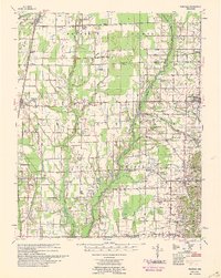
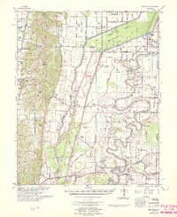
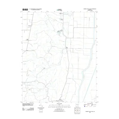
 1962 Princedale1968 Print · USGSEastern Arkansas in the early sixties reveals a landscape shaped by Poinsett Ridge and the winding St. Francis River. Genealogists and local historians can trace family locations like Yarbo Place, rural landmarks such as McDonald Ch, and the stop at Cherry Valley Halt.
 - 1966 Map of Princedale
 1966 Princedale1966 Print · USGSEastern Arkansas river life in the mid-sixties centered on the complex drainage of the St Francis River. Genealogists can trace family landmarks like Burr Place and Harefarm Cem or rural centers like Wildwood Ch & Sch.
 - 1984 Map of Cherry Valley West, 1985 Print
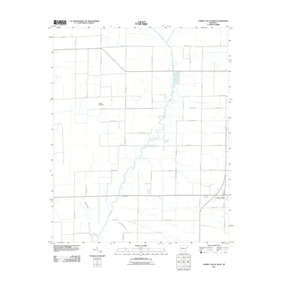
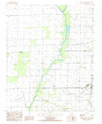 1984 Cherry Valley West1985 Print · USGSEastern Arkansas farmland is documented here in the 1980s as the regional drainage network supported local agriculture. Genealogists and researchers can trace the Missouri Pacific rail line through Cherry Valley or locate local landmarks like Wolf Pen Slough and Hydrick Creek.2 unique versions available
 - 1984 Map of Cherry Valley East, 1985 Print
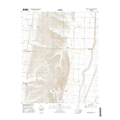
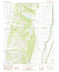 1984 Cherry Valley East1985 Print · USGSThe Arkansas Delta meets the rising terrain of the ridge in the mid-1980s, showcasing a landscape split between forest and furrow. Researchers can trace the edges of Crowleys Ridge and locate small communities like Bay Village, Birdeye, and Hydrick.2 unique versions available
 - 1986 Map of Memphis West
 1986 Memphis West1986 Print · USGSThe Mississippi River delta and the rise of Crowleys Ridge define this mid-1980s look at the Mid-South. Researchers can trace the development of West Memphis and Marion or locate landmarks like Crittenden Mem Cem and Village Creek State Park.2 unique versions available
 - 2011 Map of Cherry Valley East, 2011 Print
 2011 Cherry Valley East2011 Print · USGSCovers Cherry Valley, including Wiley Crossing, Birdeye, and other nearby areas
 - 2011 Map of Cherry Valley West, 2011 Print
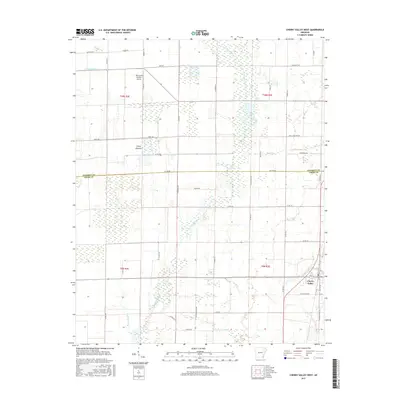
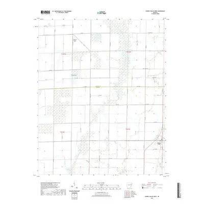
 2011 Cherry Valley West2011 Print · USGSCovers Cherry Valley, including Poinsett County, Cross County, and other nearby areas
 - 2014 Map of Cherry Valley East, 2014 Print
 2014 Cherry Valley East2014 Print · USGSCovers Cherry Valley, including Wiley Crossing, Birdeye, and other nearby areas
 - 2014 Map of Cherry Valley West, 2014 Print
 2014 Cherry Valley West2014 Print · USGSCovers Cherry Valley, including Poinsett County, Cross County, and other nearby areas
 - 2017 Map of Cherry Valley East, 2017 Print
 2017 Cherry Valley East2017 Print · USGSCovers Cherry Valley, including Wiley Crossing, Birdeye, and other nearby areas
 - 2017 Map of Cherry Valley West, 2017 Print
 2017 Cherry Valley West2017 Print · USGSCovers Cherry Valley, including Poinsett County, Cross County, and other nearby areas
 - 2020 Map of Cherry Valley West, 2020 Print
 2020 Cherry Valley West2020 Print · USGSCovers Cherry Valley, including Poinsett County, Cross County, and other nearby areas
 - 2020 Map of Cherry Valley East, 2020 Print
 2020 Cherry Valley East2020 Print · USGSCovers Cherry Valley, including Wiley Crossing, Birdeye, and other nearby areas
 - 2024 Map of Cherry Valley East, 2024 Print
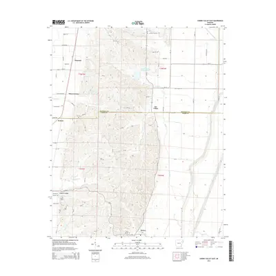
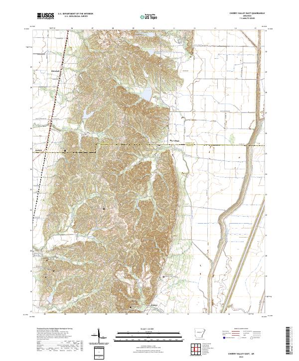 2024 Cherry Valley East2024 Print · USGSThe varied terrain of Crowleys Ridge defines this corner of Northeast Arkansas, where high ground provided a refuge for early settlers. Genealogists can trace family footprints across several historic burial sites, from Stark Cem to the Arkansas State Veterans Cem at Birdeye.
 - 2024 Map of Cherry Valley West, 2024 Print
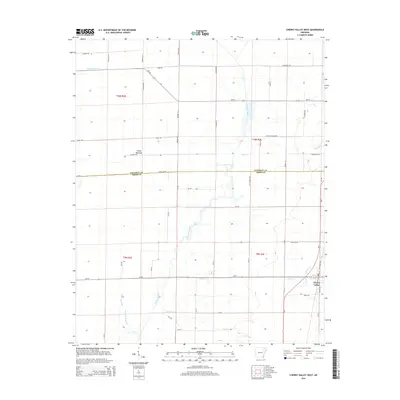
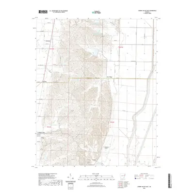
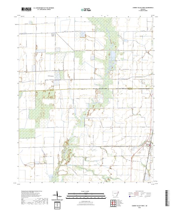 2024 Cherry Valley West2024 Print · USGSThe alluvial plains of Cross County are captured here in the mid-2020s as the L'Anguille River winds through the wetlands west of Cherry Valley. Genealogists and local historians can trace family-named routes like Goad Ln and Barnes Ln or locate the Whirlwind Aviation Airport.
End of results
Showing maps 1-21 of 21
Top cities near Cherry Valley
- Wynne historical maps
- Harrisburg historical maps
- Parkin historical maps
- Weiner historical maps
- Fisher historical maps
- Waldenburg historical maps
Frequently asked questions
- What are the different types of historical maps available for Cherry Valley?
- What is the oldest map of Cherry Valley?
- Where can I purchase historical maps of Cherry Valley for my home or office?
- Where can I download high-res historical maps of Cherry Valley?
- Are there historical topographic maps available for Cherry Valley?
- Is there historical aerial imagery available for Cherry Valley?
- Where are historical maps of Cherry Valley sourced from?