Old Maps of Hickory Ridge, Arkansas for Metal Detecting
Plan your next treasure hunt with 21 historic maps of Hickory Ridge. Find old homesites, ghost towns, trails, and gathering spots that may be lost to time — perfect for identifying promising metal detecting locations.
- Locate forgotten sites: Uncover places like long-lost settlements, abandoned rail lines, or gathering spots.
- Plan better hunts: Use map overlays combined with LiDAR or satellite views to narrow in on historically rich areas.
- Made for detectorists: Thousands of hobbyists use these maps to discover relics, coins, and hidden history.
Use these historic maps to boost your research and find new opportunities beneath the surface of Hickory Ridge.
Hickory Ridge, AR maps
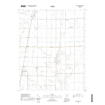
(21)- 1939 Map of Vanndale, 1941 Print
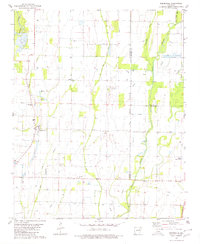
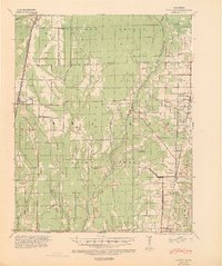 1939 Vanndale1941 Print · USGSCross and Poinsett counties are captured here in the late 1930s, showing a landscape defined by the distinct rise of Crowleys Ridge. Genealogists can locate family landmarks like Union Grove Cem and several country schools, including Rose Sch and Rolf Sch.2 unique versions available
 - 1940 Map of Tilton, 1947 Print
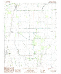
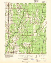 1940 Tilton1947 Print · USGSEastern Arkansas at the start of the 1940s is captured here as a landscape of river-fed bottoms and thriving rail-side towns. Genealogists and local historians can trace family roots through the numerous rural landmarks like Fakes Chapel & Cem, Pumpkin Bend Cem, and Weldon Sch.2 unique versions available
 - 1953 Map of Memphis, 1966 Print
 1953 Memphis1966 Print · USGSEastern Arkansas and the Memphis riverfront are shown here during the mid-century period of regional growth and river management. Local historians can trace the paths of the Chicago Rock Island & Pacific RR through Forrest City or locate river landmarks like President's Island.3 unique versions available
 - 1956 Map of Memphis
 1956 Memphis1956 Print · USGSThe Mississippi Delta and the bluffs of West Tennessee meet in the mid-fifties, showing a landscape defined by massive river systems and rail hubs. Researchers can trace the path of Crowleys Ridge or locate vanished river landings near Centennial Island and Island No 35.
 - 1956 Map of Tilton
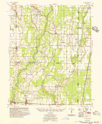 1956 Tilton1956 Print · USGSThe Arkansas Delta comes into focus in the mid-1950s, showing a landscape of drainage canals and rail-line towns. Researchers can trace family roots at Pumpkin Bend, Beedeville, and the crossroads of McCrory.
 - 1958 Map of Vanndale
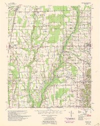 1958 Vanndale1958 Print · USGSCross and Poinsett Counties are captured in the late fifties, showing a landscape defined by the L'Anguille River and the regional rail lines. Researchers can trace rural genealogy through landmarks like Tilton Sch & Ch, Union Grove Cem, and Slocum Cem.2 unique versions available
 - 1980 Map of Beedeville
 1980 Beedeville1980 Print · USGSBeedeville and the surrounding delta wetlands were undergoing significant hydrological shifts by the 1980s. Genealogists and local historians can trace family roots through the Citizenship Ch and several rural burial grounds like Eight Mile Cem and Jones Cem.
 - 1984 Map of Hickory Ridge, 1985 Print
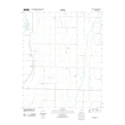
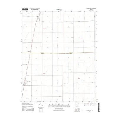
 1984 Hickory Ridge1985 Print · USGSThe Arkansas Delta lowlands in the early eighties reveal a landscape of managed waterways and rural rail stops. Genealogists and researchers can trace the agricultural layout of Hickory Ridge, Fisher, and the Poinsett Co Cross Co line.
 - 1986 Map of Searcy
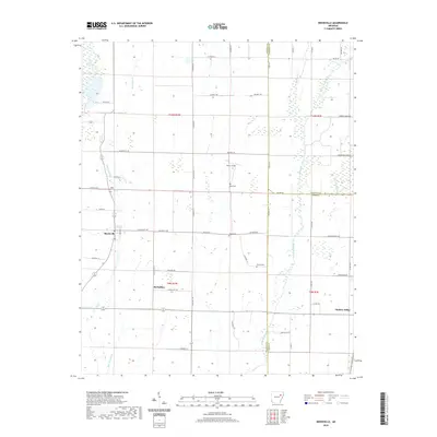
 1986 Searcy1986 Print · USGSWhite County and its neighbors reached a period of established agricultural and rail prosperity by the mid-1980s. Local researchers can trace the routes of the Missouri Pacific RR and locate rural communities like Velvet Ridge, Sunnydale, and Cotton Plant.2 unique versions available
 - 1986 Map of Memphis West
 1986 Memphis West1986 Print · USGSThe Mississippi River delta and the rise of Crowleys Ridge define this mid-1980s look at the Mid-South. Researchers can trace the development of West Memphis and Marion or locate landmarks like Crittenden Mem Cem and Village Creek State Park.2 unique versions available
 - 1992 Map of Hickory Ridge, 1993 Print
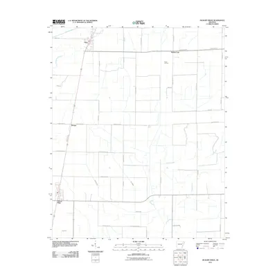
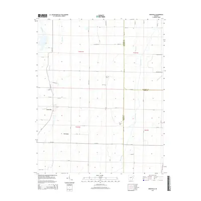
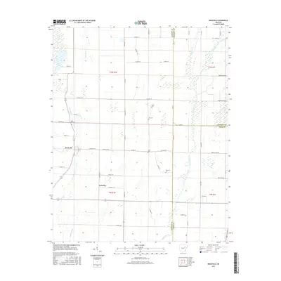
 1992 Hickory Ridge1993 Print · USGSHickory Ridge and Fisher sit along the Cross and Poinsett county line in the early 1980s, revealing a landscape shaped by water engineering. Local historians can trace drainage networks from Ditch No 15 to natural landmarks like Brushey Lake and Gum Slough.
 - 2011 Map of Hickory Ridge, 2011 Print
 2011 Hickory Ridge2011 Print · USGSCovers Hickory Ridge, including Fisher, Pittinger, and other nearby areas
 - 2011 Map of Beedeville, 2011 Print
 2011 Beedeville2011 Print · USGSCovers Hickory Ridge, including Beedeville, McFadden, and other nearby areas
 - 2014 Map of Hickory Ridge, 2014 Print
 2014 Hickory Ridge2014 Print · USGSCovers Hickory Ridge, including Fisher, Pittinger, and other nearby areas
 - 2014 Map of Beedeville, 2014 Print
 2014 Beedeville2014 Print · USGSCovers Hickory Ridge, including Beedeville, McFadden, and other nearby areas
 - 2017 Map of Beedeville, 2017 Print
 2017 Beedeville2017 Print · USGSCovers Hickory Ridge, including Beedeville, McFadden, and other nearby areas
 - 2017 Map of Hickory Ridge, 2017 Print
 2017 Hickory Ridge2017 Print · USGSCovers Hickory Ridge, including Fisher, Pittinger, and other nearby areas
 - 2020 Map of Hickory Ridge, 2020 Print
 2020 Hickory Ridge2020 Print · USGSCovers Hickory Ridge, including Fisher, Pittinger, and other nearby areas
 - 2020 Map of Beedeville, 2020 Print
 2020 Beedeville2020 Print · USGSCovers Hickory Ridge, including Beedeville, McFadden, and other nearby areas
 - 2024 Map of Hickory Ridge, 2024 Print
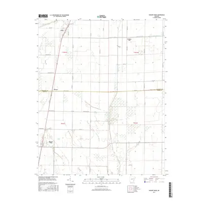
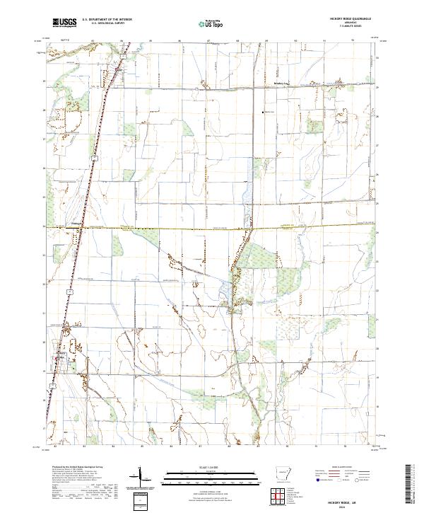 2024 Hickory Ridge2024 Print · USGSThe Delta farmland of Cross and Poinsett Counties is captured here in its contemporary state, showing the persistent agricultural grid and drainage systems. Researchers can locate the Wyatts Cem, the settlement at Fisher, and old watercourses like Gum Slough.
 - 2024 Map of Beedeville, 2024 Print
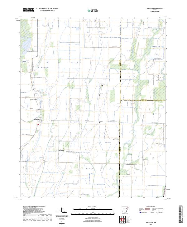 2024 Beedeville2024 Print · USGSBeedeville and the surrounding Jackson County wetlands are captured here in the contemporary era. Genealogists and local researchers can trace the locations of several rural burial grounds, including Eight Mile Cem and Givens Cem, alongside the waters of Bayou De View.
End of results
Showing maps 1-21 of 21
Top cities near Hickory Ridge
- Wynne historical maps
- Newport historical maps
- McCrory historical maps
- Weiner historical maps
- Fisher historical maps
- Beedeville historical maps
See more
Frequently asked questions
- What are the different types of historical maps available for Hickory Ridge?
- What is the oldest map of Hickory Ridge?
- Where can I purchase historical maps of Hickory Ridge for my home or office?
- Where can I download high-res historical maps of Hickory Ridge?
- Are there historical topographic maps available for Hickory Ridge?
- Is there historical aerial imagery available for Hickory Ridge?
- Where are historical maps of Hickory Ridge sourced from?