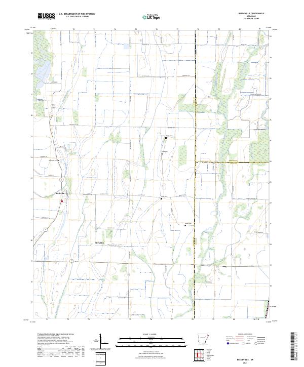
2024 Map of Beedeville
USGS Topo · Published 2024About this map
The Cache River and Bayou De View define the low-lying hydrology of this Jackson County landscape, where agricultural fields are intersected by a network of drainage laterals and sloughs. Small rural settlements like Beedeville and McFadden serve as local anchors in a region dominated by precisely gridded township lines. The mapping reveals a distinct pattern of family and community history preserved in several small cemeteries, including Eight Mile Cem, Walker Cem, Dale Cem, and Jones Cem, which are often located on slightly elevated ground near former homesteads. Local infrastructure is marked by numerous county roads like Grindstone Ridge Rd and the Old Forked Slough, tracing the natural remnants of the area's complex water system before modern channelization and agriculture reshaped the terrain.
Find a feature on this map
55 named features on this map. Tap any name to fly to it.
Don’t see what you’re looking for? This feature index may not catch every label — zoom into the map to look around manually.
Map Details
Editions of this 2024 Beedeville Map
This is the sole edition of this map. No revisions or reprints were ever made.
Other maps of this area

1935 · Tuckerman
USGS Topo · 1:62,500

1939 · Vanndale
USGS Topo · 1:62,500

1939 · Weiner
USGS Topo · 1:62,500

1940 · Tilton
USGS Topo · 1:62,500

1953 · Memphis
USGS Topo · 1:250,000

1956 · Memphis
USGS Topo · 1:250,000

1956 · Tilton
USGS Topo · 1:62,500

1958 · Vanndale
USGS Topo · 1:62,500

1959 · Weiner
USGS Topo · 1:62,500

1960 · Weiner
USGS Topo · 1:62,500