2020s Maps of Monticello, Arkansas
Explore 8 historic maps of Monticello from the 2020s. These maps offer a rare glimpse into what life looked like during the 2020s — showing old roads, neighborhoods, homes, and landmarks that have changed or disappeared over time.
Whether you're researching your family's past, planning a metal detecting trip, or studying how Monticello's landscape evolved across the 2020s, these high-resolution maps are a powerful tool for exploring the history of this region.
- Focus on a specific era: All maps on this page are from the 2020s, giving you a focused view of this time period.
- See what’s changed: Compare century-old streets, trails, and buildings to today's modern landscape using overlays and satellite layers.
- Research with precision: Use these maps for genealogy, historical research, land use analysis, or educational projects.
- View, download, or print: Maps are fully viewable online in high resolution, and can be downloaded or printed for your own records.
Start exploring Monticello's history through authentic maps from the 2020s. This is your window into the past.
Monticello, AR maps
(8)- 2020 Map of Collins NW, 2020 Print
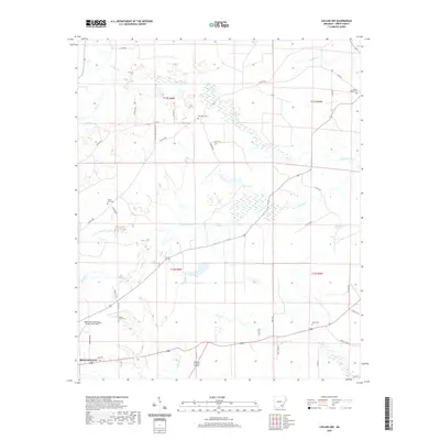 2020 Collins NW2020 Print · USGSCovers Monticello, including Drew County, United States, and other nearby areas
 - 2020 Map of Cominto, 2020 Print
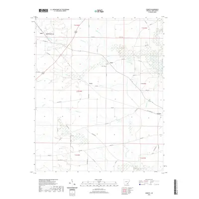 2020 Cominto2020 Print · USGSCovers Monticello, including Deane, Cominto, and other nearby areas
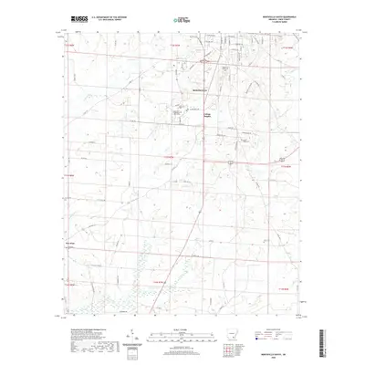
 - 2020 Map of Monticello North, 2020 Print
 2020 Monticello North2020 Print · USGSCovers Monticello, including Rose Hill, Tennessee, and other nearby areas
 - 2020 Map of Monticello South, 2020 Print
 2020 Monticello South2020 Print · USGSCovers Monticello, including College Heights, Drew County, and other nearby areas
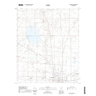
 - 2024 Map of Monticello North, 2024 Print
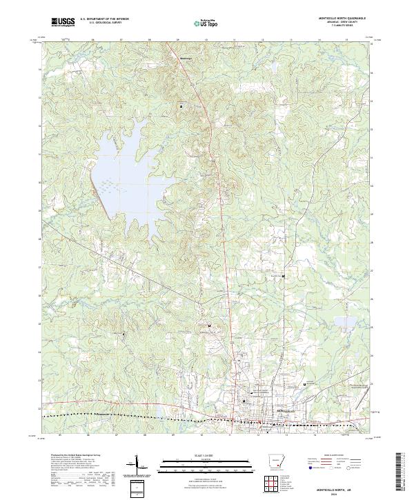 2024 Monticello North2024 Print · USGSMonticello and its northern hinterlands are documented here in the mid-2020s, showing the city's growth toward the surrounding Arkansas piney woods. Genealogists can locate several historic burial grounds like Rose Hill Cem and Lawson Cem, or trace the development around Dura-Craft Lake.
 - 2024 Map of Collins NW, 2024 Print
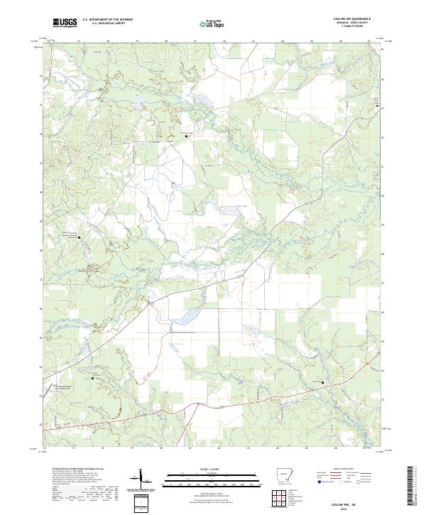 2024 Collins NW2024 Print · USGSSoutheast Arkansas timberlands and creek bottoms are documented here in the early 2020s. Researchers can locate several historic burial grounds, including the Mount Zion African Methodist Episcopal Church Cem and Old Union Cem.
 - 2024 Map of Monticello South, 2024 Print
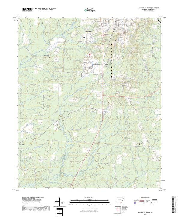 2024 Monticello South2024 Print · USGSMonticello and the surrounding Drew County countryside are documented here in the early twenty-first century. Researchers can trace local landmarks like the University Of Arkansas At Monticello or find old burial sites at Rough and Ready Cem and Brooks Chapel Cem.
 - 2024 Map of Cominto, 2024 Print
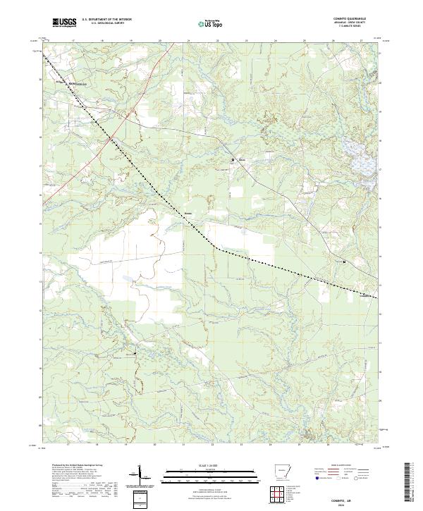 2024 Cominto2024 Print · USGSDrew County, Arkansas, at the start of the 2020s remains a landscape of quiet rural settlements and winding timberland creeks. Genealogists can trace family footprints through the Enon Cem and Rash Cem, or explore the area around Deane and Cominto.
End of results
Showing maps 1-8 of 8
Top cities near Monticello
Top neighborhoods of Monticello
Frequently asked questions
- What are the different types of historical maps available for Monticello?
- What is the oldest map of Monticello?
- Where can I purchase historical maps of Monticello for my home or office?
- Where can I download high-res historical maps of Monticello?
- Are there historical topographic maps available for Monticello?
- Is there historical aerial imagery available for Monticello?
- Where are historical maps of Monticello sourced from?