Old Maps of Monticello, Arkansas for Academic Research
Study the evolution of Monticello with 29 high-resolution historic maps. Whether you're teaching, researching, or modeling changes in land use, these maps provide essential visual documentation of urban, environmental, and geographic change.
- Analyze long-term change: Track patterns in development, transportation, and natural features.
- Ideal for environmental or urban studies: Support academic projects with primary historical map data.
- Use in the classroom or lab: Educators and researchers rely on these maps to bring historical context to life.
These maps are a powerful tool for teaching, research, and visualizing how Monticello has changed over the decades.
Monticello, AR maps
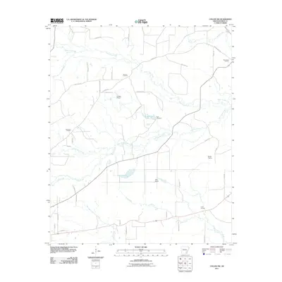
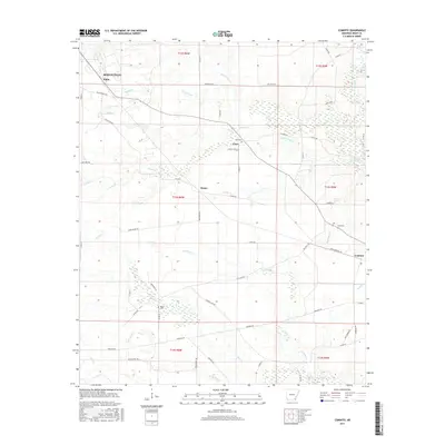
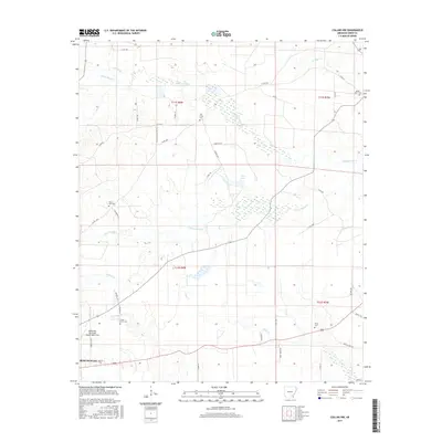
(29)- 1935 Map of Cominto, 1936 Print
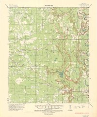 1935 Cominto1936 Print · USGSIn the mid-1930s, this pocket of Drew and Lincoln County was a landscape of timber-driven rail lines and rural community centers. Researchers can trace family roots at Old Union Ch & Sch, locate the Maben Mission, or follow the Bartholomew Bayou lowlands.3 unique versions available
 - 1953 Map of Greenwood, 1966 Print
 1953 Greenwood1966 Print · USGSThe Mississippi Delta in the mid-fifties is captured here as a thriving network of river towns, railroads, and oxbow lakes. Researchers can trace the legacy of the Illinois Central Railroad and locate landmarks like the State Penal Farm and Greenville Air Force Base.5 unique versions available
 - 1956 Map of Greenwood
 1956 Greenwood1956 Print · USGSThe Mississippi Delta in the mid-fifties is captured here during a period of significant military and agricultural activity. Researchers can trace the rail lines of the Illinois Central RR, find the Greenville Air Force Base, or locate the State Penal Farm.
 - 1960 Map of Collins NW, 1961 Print
 1960 Collins NW1961 Print · USGSSoutheast Arkansas in the early sixties reveals a landscape of scattered family farms and rural parish life. Researchers can trace ancestral locations through several country churches and cemeteries like Jose Chapel, Shady Grove Cem, and Zion Hill Ch.2 unique versions available
 - 1960 Map of Collins, 1961 Print
 1960 Collins1961 Print · USGSIn the early sixties, the Drew County landscape was a tapestry of rail-side settlements and brake-water bayous. Researchers can trace family history through sites like Selma, the Missouri Pacific line, and cemeteries such as Dabney Cem or Mt Olive Cem.
 - 1960 Map of Cominto, 1961 Print
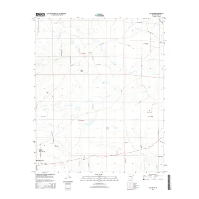
 1960 Cominto1961 Print · USGSIn the early sixties, this portion of Drew County remained a landscape of scattered rural settlements and logging-era rail lines. Researchers can trace family history at Rash Cem and Moore Cem or locate the old Enon School along the Missouri Pacific tracks.2 unique versions available
 - 1966 Map of Monticello North, 1967 Print
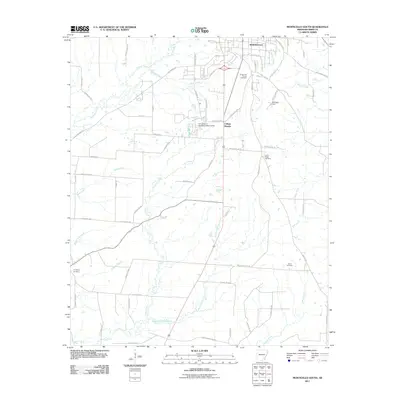
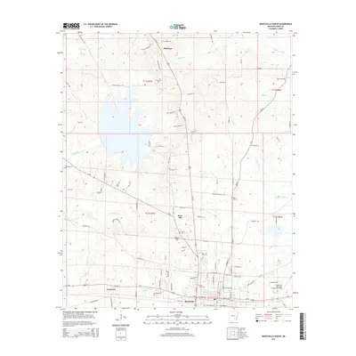
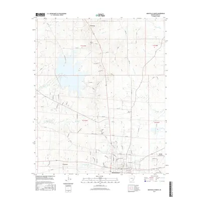
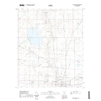
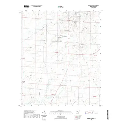
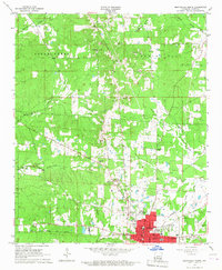 1966 Monticello North1967 Print · USGSMonticello enters the mid-sixties with its urban core and rural surroundings clearly mapped, showing the Missouri Pacific rail lines and the growing Monticello Airport. Genealogists can trace family roots through several landmarks including Lawson Cem, Rose Hill Ch, and the Childrens Home.
 - 1966 Map of Monticello South, 1967 Print
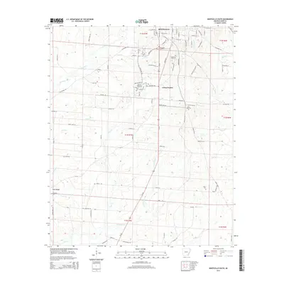
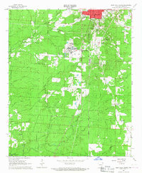 1966 Monticello South1967 Print · USGSSoutheast Arkansas in the mid-sixties reveals a landscape balancing academic growth with deep-rooted rural traditions. Genealogists can trace family heritage at Rough and Ready Cem or Brooks Chapel while following the Ashley Drew and Northern rail line.
 - 1986 Map of Dumas
 1986 Dumas1986 Print · USGSSoutheast Arkansas in the mid-eighties shows a landscape defined by the winding Mississippi River and the Missouri Pacific Railroad corridor. Genealogists can trace family roots through river towns like Arkansas City and the rail-junction history of McGehee.2 unique versions available
 - 2011 Map of Cominto, 2011 Print
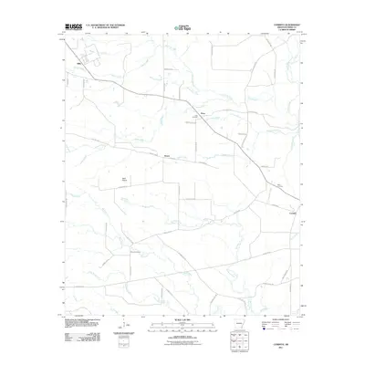 2011 Cominto2011 Print · USGSCovers Monticello, including Deane, Cominto, and other nearby areas
 - 2011 Map of Monticello North, 2011 Print
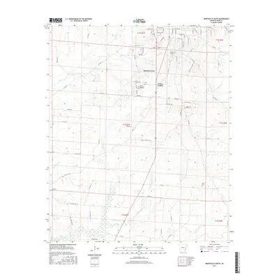
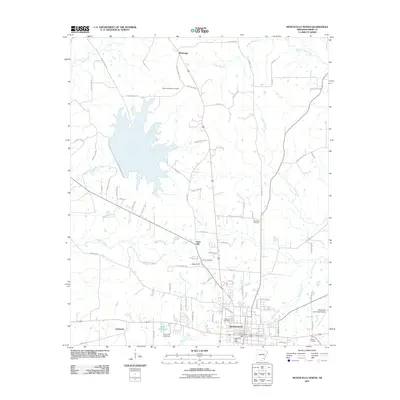 2011 Monticello North2011 Print · USGSCovers Monticello, including Rose Hill, Tennessee, and other nearby areas
 - 2011 Map of Collins NW, 2011 Print
 2011 Collins NW2011 Print · USGSCovers Monticello, including Drew County, United States, and other nearby areas
 - 2011 Map of Monticello South, 2011 Print
 2011 Monticello South2011 Print · USGSCovers Monticello, including College Heights, Drew County, and other nearby areas
 - 2014 Map of Collins NW, 2014 Print
 2014 Collins NW2014 Print · USGSCovers Monticello, including Drew County, United States, and other nearby areas
 - 2014 Map of Cominto, 2014 Print
 2014 Cominto2014 Print · USGSCovers Monticello, including Deane, Cominto, and other nearby areas
 - 2014 Map of Monticello North, 2014 Print
 2014 Monticello North2014 Print · USGSCovers Monticello, including Rose Hill, Tennessee, and other nearby areas
 - 2014 Map of Monticello South, 2014 Print
 2014 Monticello South2014 Print · USGSCovers Monticello, including College Heights, Drew County, and other nearby areas
 - 2017 Map of Monticello South, 2017 Print
 2017 Monticello South2017 Print · USGSCovers Monticello, including College Heights, Drew County, and other nearby areas
 - 2017 Map of Cominto, 2017 Print
 2017 Cominto2017 Print · USGSCovers Monticello, including Deane, Cominto, and other nearby areas
 - 2017 Map of Monticello North, 2017 Print
 2017 Monticello North2017 Print · USGSCovers Monticello, including Rose Hill, Tennessee, and other nearby areas
 - 2017 Map of Collins NW, 2017 Print
 2017 Collins NW2017 Print · USGSCovers Monticello, including Drew County, United States, and other nearby areas
 - 2020 Map of Collins NW, 2020 Print
 2020 Collins NW2020 Print · USGSCovers Monticello, including Drew County, United States, and other nearby areas
 - 2020 Map of Cominto, 2020 Print
 2020 Cominto2020 Print · USGSCovers Monticello, including Deane, Cominto, and other nearby areas
 - 2020 Map of Monticello North, 2020 Print
 2020 Monticello North2020 Print · USGSCovers Monticello, including Rose Hill, Tennessee, and other nearby areas
 - 2020 Map of Monticello South, 2020 Print
 2020 Monticello South2020 Print · USGSCovers Monticello, including College Heights, Drew County, and other nearby areas
Showing maps 1-25 of 29
Top cities near Monticello
Top neighborhoods of Monticello
Frequently asked questions
- What are the different types of historical maps available for Monticello?
- What is the oldest map of Monticello?
- Where can I purchase historical maps of Monticello for my home or office?
- Where can I download high-res historical maps of Monticello?
- Are there historical topographic maps available for Monticello?
- Is there historical aerial imagery available for Monticello?
- Where are historical maps of Monticello sourced from?