2020s Maps of Faulkner County, Arkansas
Explore 40 historic maps of Faulkner County from the 2020s. These maps offer a rare glimpse into what life looked like during the 2020s — showing old roads, neighborhoods, homes, and landmarks that have changed or disappeared over time.
Whether you're researching your family's past, planning a metal detecting trip, or studying how Faulkner County's landscape evolved across the 2020s, these high-resolution maps are a powerful tool for exploring the history of this region.
- Focus on a specific era: All maps on this page are from the 2020s, giving you a focused view of this time period.
- See what’s changed: Compare century-old streets, trails, and buildings to today's modern landscape using overlays and satellite layers.
- Research with precision: Use these maps for genealogy, historical research, land use analysis, or educational projects.
- View, download, or print: Maps are fully viewable online in high resolution, and can be downloaded or printed for your own records.
Start exploring Faulkner County's history through authentic maps from the 2020s. This is your window into the past.
Faulkner County, AR maps
(40)- 2020 Map of Fourche, 2020 Print
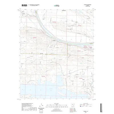 2020 Fourche2020 Print · USGSThe Arkansas River valley meets the northern ridges of Pulaski County in this modern survey of the riverlands and reservoir shores. Researchers can trace rural cemeteries like Saint Francis Cem and Rainey Cem near the historic settlements of Little Italy and Roland.
 - 2020 Map of Cato, 2020 Print
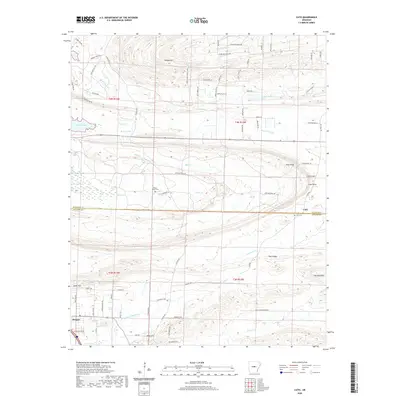 2020 Cato2020 Print · USGSThe Faulkner and Pulaski County line divides this Arkansas landscape during a period of steady suburban transition north of Little Rock. Researchers can locate the grounds of Camp Joseph Robinson and trace local family history near Cato Cem and Mount Psyam Cem.
 - 2020 Map of Vilonia, 2020 Print
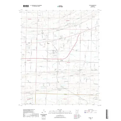 2020 Vilonia2020 Print · USGSVilonia and the rural corridors of Faulkner County are shown here in the early twenty-first century as suburban growth meets traditional farm country. Trace local roots at Vilonia Cem or Mount Olive Cem, and locate family landmarks like Cadron Ridge and Wilson Hill.
 - 2020 Map of Springfield, 2020 Print
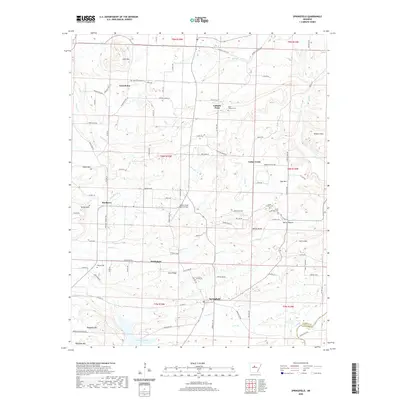 2020 Springfield2020 Print · USGSConway County settlements and upland ridges are documented in this recent survey. Local researchers can locate community landmarks and family burial sites like Holly Springs Cem, Birdtown, and the waters of Brewer Lake.
 - 2020 Map of Rose Bud, 2020 Print
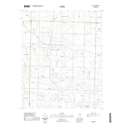 2020 Rose Bud2020 Print · USGSSpanning the borders of White, Cleburne, and Faulkner counties, this survey captures the rural character of the Arkansas hills in 2020. Local historians can trace family-named landmarks and rural burial grounds such as Rose Bud Cem, Schoolhouse Hill, and Starkey Cem.
 - 2020 Map of Mount Vernon, 2020 Print
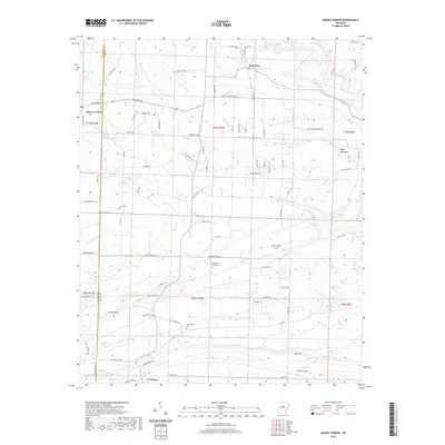 2020 Mount Vernon2020 Print · USGSMount Vernon and Romance are situated along the Faulkner and White County line in this modern study of the central Arkansas uplands. Researchers can pinpoint family history sites like Hammons Chapel Cem or trace terrain at Black Jack Mtn and Cadron Ridge.
 - 2020 Map of Guy, 2020 Print
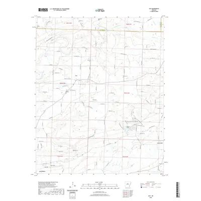 2020 Guy2020 Print · USGSThe community of Guy and the surrounding Faulkner County countryside are shown here in modern detail, reflecting a landscape of quiet valleys and family homesteads. Researchers can locate numerous historic burial sites like Copperas Springs Cem and Old Texas Cem, or trace the path of Cadron Creek.
 - 2020 Map of Gleason, 2020 Print
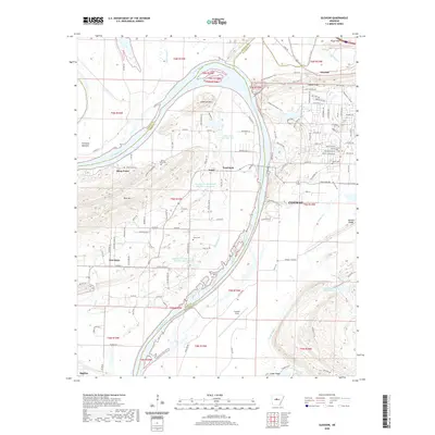 2020 Gleason2020 Print · USGSConway and the Arkansas River valley come to life in this detailed record of the region's diverse landscape and growing footprint. Researchers can trace historic routes like the Cadron Settlement Trail and locate family burial sites at Stony Point Cem or Casey Cem.
 - 2020 Map of Enola, 2020 Print
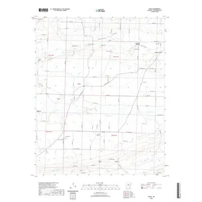 2020 Enola2020 Print · USGSNortheastern Faulkner County appears here in the contemporary era, showing a landscape of small rural settlements and cattle-dotted hills. Genealogists can locate several family burial grounds like Marcus Hill Cem and Heffington Cem near Enola and Naylor.
 - 2020 Map of Conway, 2020 Print
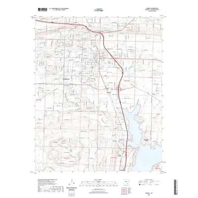 2020 Conway2020 Print · USGSConway and its surrounding colleges are shown at a point of significant growth in the twenty-first century. Genealogists and local historians can trace family plots at Oak Grove Cemetery or locate the rural bounds of Brumley and Preston near the shores of Lake Conway.
 - 2020 Map of Barney, 2020 Print
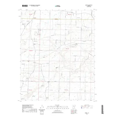 2020 Barney2020 Print · USGSThe rural landscape of Cleburne and Faulkner counties comes into focus in this late twenty-teens survey of the area around Quitman. Researchers can trace local lineage through Mortar Creek Cem and Brown Cem or locate landmarks like Ira's Airstrip.
 - 2020 Map of Mountain Springs, 2020 Print
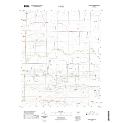 2020 Mountain Springs2020 Print · USGSThe rural landscape between El Paso and Cabot is captured here in the early twenty-first century as suburban growth meets traditional family lands. Trace local history through numerous burial sites like Mountain Springs Cemetery and landmarks such as Round Mtn or the Cypress Creek Airport.
 - 2020 Map of Hamlet, 2020 Print
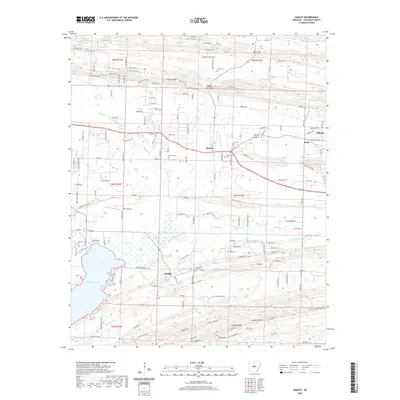 2020 Hamlet2020 Print · USGSFaulkner County communities like Hamlet and Saltillo are documented here in the early twenty-first century, showing the area's rural road network and water systems. Genealogists can locate several local burial sites including Crestlawn Cem, Beryl Cem, and Liberty Cem.
 - 2020 Map of Menifee, 2020 Print
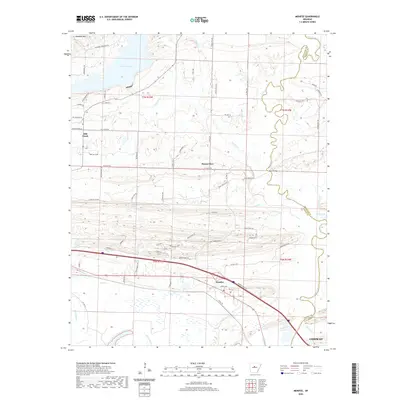 2020 Menifee2020 Print · USGSThe rural corridors between Faulkner and Conway counties are captured here in the modern era, showing the intersection of heavy transit and local heritage. Researchers can trace land patterns around Menifee, Brewer Lake, and the family-named landmarks near Ragsdale Mountain.
 - 2020 Map of Greenbrier, 2020 Print
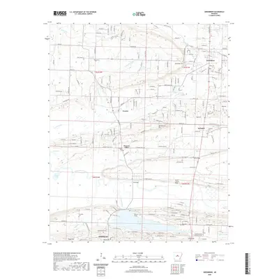 2020 Greenbrier2020 Print · USGSThe hills of Faulkner County north of Conway come into sharp focus in this recent survey. Local researchers can trace family landmarks and rural settlements from Beaver Fork Lake up to Greenbrier, including Estep Cem and the community of Wooster.
 - 2020 Map of Holland, 2020 Print
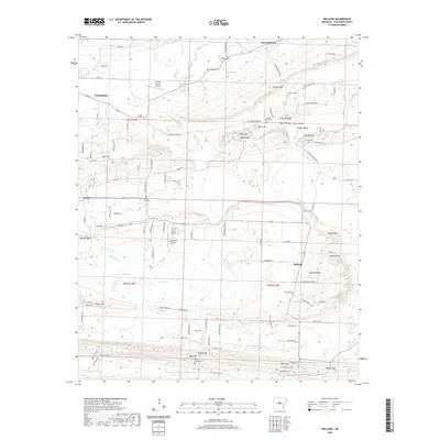 2020 Holland2020 Print · USGSFaulkner County communities like Greenbrier and Holland are shown in this modern topographic study of central Arkansas. Researchers can trace family history through several rural burial sites, including Acklin Graveyard, Hardin Cem, and McGinty Cem.
 - 2020 Map of Damascus, 2020 Print
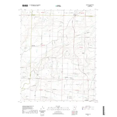 2020 Damascus2020 Print · USGSCentral Arkansas in the early twenty-first century reveals a landscape of high ridges and winding creeks along the Faulkner and Van Buren county line. Researchers can locate several burial sites and bridges, including Spires Cem, McMillan Cem, and Fishtrap Bridge.
 - 2020 Map of Mayflower, 2020 Print
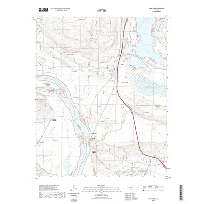 2020 Mayflower2020 Print · USGSThe Arkansas River valley comes into sharp focus during the 2020s, showing the evolving relationship between the river, the rail line, and growing communities. Researchers can trace the Union Pacific Railroad through Mayflower and find local landmarks like Mount Pilgrim or Mayflower Cem.
 - 2020 Map of Olmstead, 2020 Print
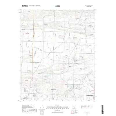 2020 Olmstead2020 Print · USGSPulaski County at the start of the 2020s shows the suburban edge meeting rural ridges north of the state capital. Local historians can trace family landmarks and community sites like Harmony Cem, Frenchman Mountain, and the massive Little Rock Air Force Base.
 - 2020 Map of Pinnacle Mountain, 2020 Print
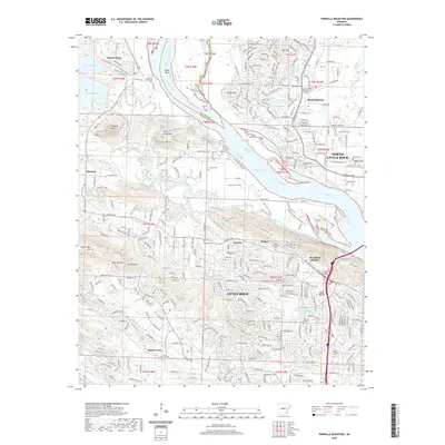 2020 Pinnacle Mountain2020 Print · USGSThe western edges of the Arkansas capital meet the wilderness at the start of the new millennium. Researchers can trace family sites at Stuman Cem and Natural Steps Cem or follow the Ouachita Trail through the Fulk Mountains.
 - 2024 Map of Guy, 2024 Print
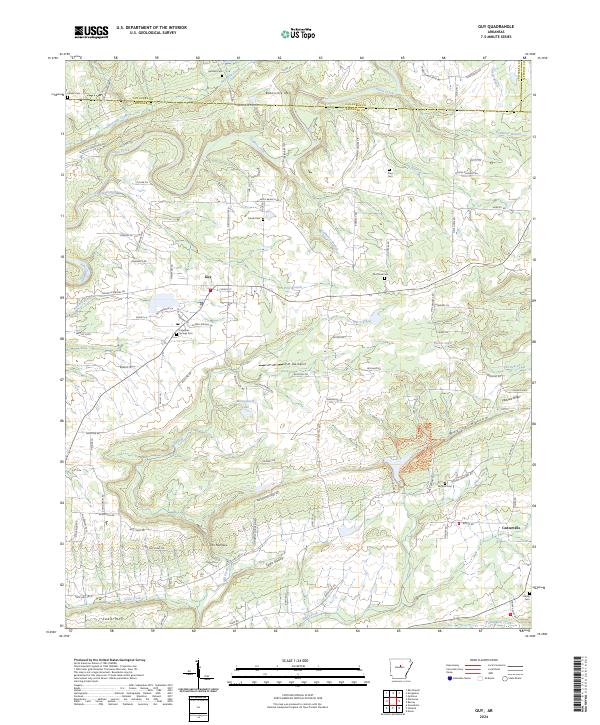 2024 Guy2024 Print · USGSThe rural landscapes of northern Faulkner County come into focus here during the mid-2020s, centered on the community of Guy. Researchers can locate several historic burial sites like Old Texas Cem and King Cem or trace the winding course of Cadron Creek.
 - 2024 Map of Vilonia, 2024 Print
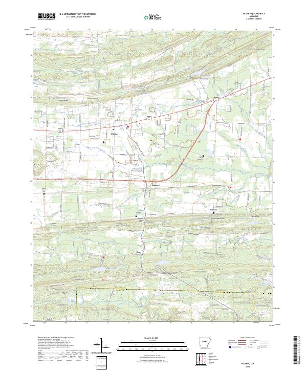 2024 Vilonia2024 Print · USGSVilonia and the surrounding Faulkner County countryside are shown in detail during a period of modern growth and rural preservation. Genealogists and local historians can trace family locations near Mount Olive Cem, Otto, and the many gaps of Cadron Ridge.
 - 2024 Map of Cato, 2024 Print
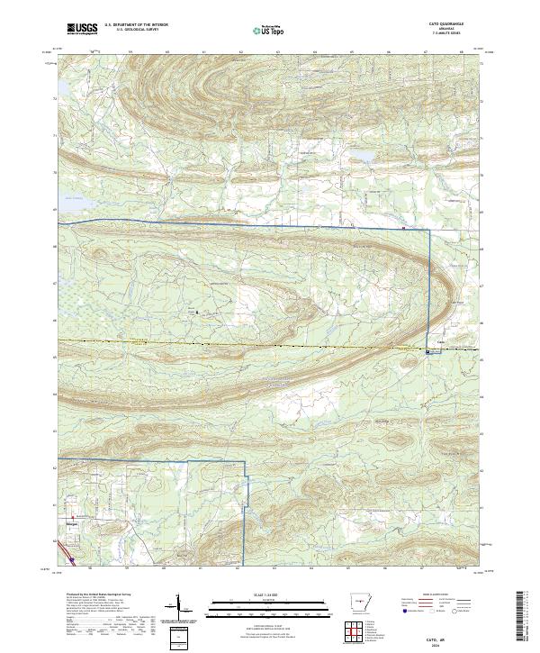 2024 Cato2024 Print · USGSNorth of Little Rock in the mid-2020s, this area shows a landscape defined by military grounds and rural communities. You can trace family history at Cato Cem and Mount Psyam Cem or explore the terrain surrounding Blue Hill and White Oak Bayou.
 - 2024 Map of Mount Vernon, 2024 Print
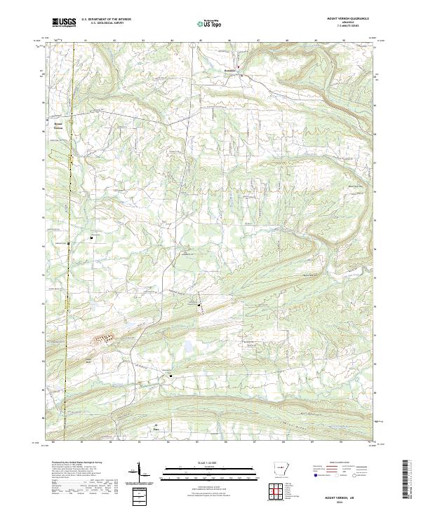 2024 Mount Vernon2024 Print · USGSThe upland terrain of Faulkner and White Counties comes into focus on this recent survey of central Arkansas. Genealogists and local historians can trace family-named sites and rural landmarks like Hammons Chapel Cem, Black Jack Mtn, and the community of Romance.
 - 2024 Map of Barney, 2024 Print
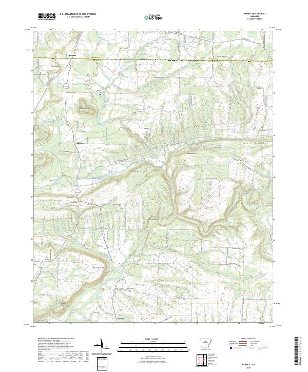 2024 Barney2024 Print · USGSFaulkner and Cleburne Counties in the 2020s remain a landscape of high ridges and winding creek valleys. Researchers can locate remote community sites like Barney and Enders, or trace family genealogy through Mount Pleasant Cem and Brown Cem.
Showing maps 1-25 of 40
Top cities of Faulkner County
- Conway historical maps
- Greenbrier historical maps
- Vilonia historical maps
- Mayflower historical maps
- Wooster historical maps
- Holland historical maps
See more
Frequently asked questions
- What are the different types of historical maps available for Faulkner County?
- What is the oldest map of Faulkner County?
- Where can I purchase historical maps of Faulkner County for my home or office?
- Where can I download high-res historical maps of Faulkner County?
- Are there historical topographic maps available for Faulkner County?
- Is there historical aerial imagery available for Faulkner County?
- Where are historical maps of Faulkner County sourced from?