2000s (21st Century) Maps of Diaz, Arkansas
Explore 15 historic maps of Diaz from the 2000s (21st Century). These maps offer a rare glimpse into what life looked like during the 2000s — showing old roads, neighborhoods, homes, and landmarks that have changed or disappeared over time.
Whether you're researching your family's past, planning a metal detecting trip, or studying how Diaz's landscape evolved across the 2000s, these high-resolution maps are a powerful tool for exploring the history of this region.
- Focus on a specific era: All maps on this page are from the 2000s, giving you a focused view of this time period.
- See what’s changed: Compare century-old streets, trails, and buildings to today's modern landscape using overlays and satellite layers.
- Research with precision: Use these maps for genealogy, historical research, land use analysis, or educational projects.
- View, download, or print: Maps are fully viewable online in high resolution, and can be downloaded or printed for your own records.
Start exploring Diaz's history through authentic maps from the 2000s. This is your window into the past.
Diaz, AR maps
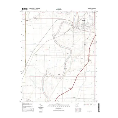
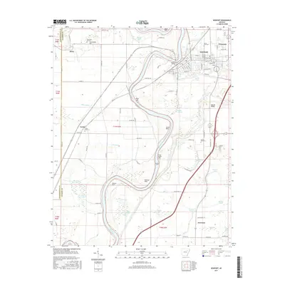
(15)- 2011 Map of Newport, 2011 Print
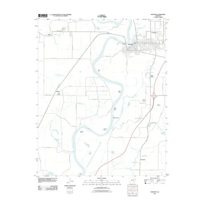 2011 Newport2011 Print · USGSCovers Diaz, including Newport, Horseshoe, and other nearby areas
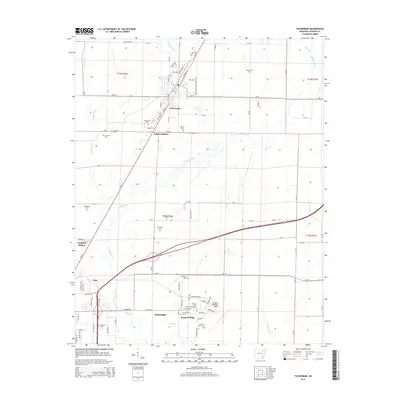
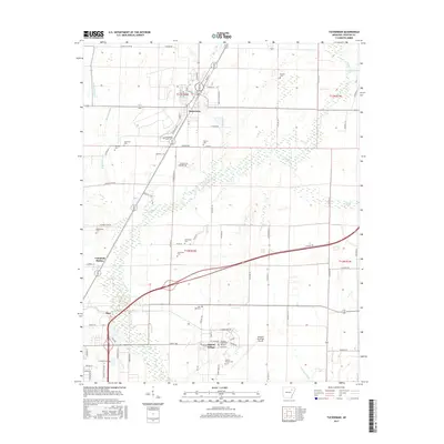
 - 2011 Map of Tuckerman, 2011 Print
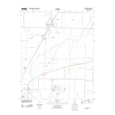 2011 Tuckerman2011 Print · USGSCovers Diaz, including Newport, Tuckerman, and other nearby areas
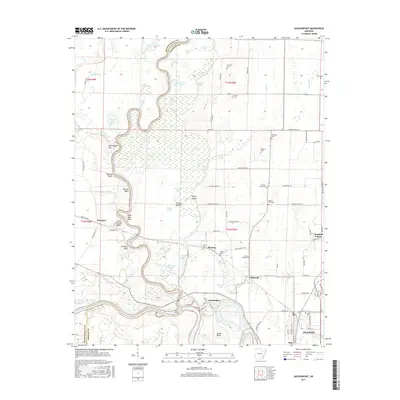
 - 2011 Map of Jacksonport, 2011 Print
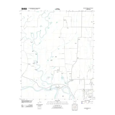 2011 Jacksonport2011 Print · USGSCovers Diaz, including Newport, Campbell Station, and other nearby areas
 - 2014 Map of Jacksonport, 2014 Print
 2014 Jacksonport2014 Print · USGSCovers Diaz, including Newport, Campbell Station, and other nearby areas
 - 2014 Map of Newport, 2014 Print
 2014 Newport2014 Print · USGSCovers Diaz, including Newport, Horseshoe, and other nearby areas
 - 2014 Map of Tuckerman, 2014 Print
 2014 Tuckerman2014 Print · USGSCovers Diaz, including Newport, Tuckerman, and other nearby areas
 - 2017 Map of Jacksonport, 2017 Print
 2017 Jacksonport2017 Print · USGSCovers Diaz, including Newport, Campbell Station, and other nearby areas
 - 2017 Map of Newport, 2017 Print
 2017 Newport2017 Print · USGSCovers Diaz, including Newport, Horseshoe, and other nearby areas
 - 2017 Map of Tuckerman, 2017 Print
 2017 Tuckerman2017 Print · USGSCovers Diaz, including Newport, Tuckerman, and other nearby areas
 - 2020 Map of Jacksonport, 2020 Print
 2020 Jacksonport2020 Print · USGSCovers Diaz, including Newport, Campbell Station, and other nearby areas
 - 2020 Map of Tuckerman, 2020 Print
 2020 Tuckerman2020 Print · USGSCovers Diaz, including Newport, Tuckerman, and other nearby areas
 - 2020 Map of Newport, 2020 Print
 2020 Newport2020 Print · USGSCovers Diaz, including Newport, Horseshoe, and other nearby areas
 - 2024 Map of Newport, 2024 Print
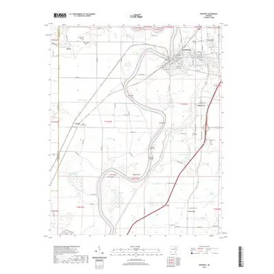
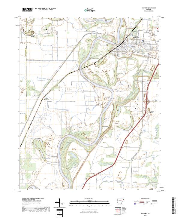 2024 Newport2024 Print · USGSIn the modern era, the riverfront town of NEWPORT remains anchored by the White River and its labyrinth of surrounding sloughs. Researchers can trace local lineage at Nuckles Switch Cem and Walnut Grove Cem or locate the historic Jackson County Courthouse.
 - 2024 Map of Jacksonport, 2024 Print
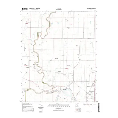
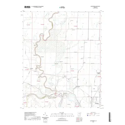
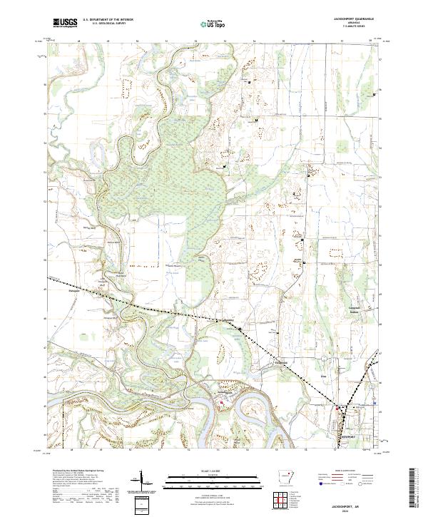 2024 Jacksonport2024 Print · USGSThe river-driven landscape of Jackson County is captured here at the junction of the White and Black Rivers. Local historians can trace cemetery locations like Shiloh Cem and Holloway Cem, or locate landmarks such as Jacksonport and Berkley Bluff.
 - 2024 Map of Tuckerman, 2024 Print
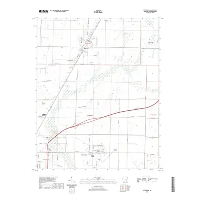
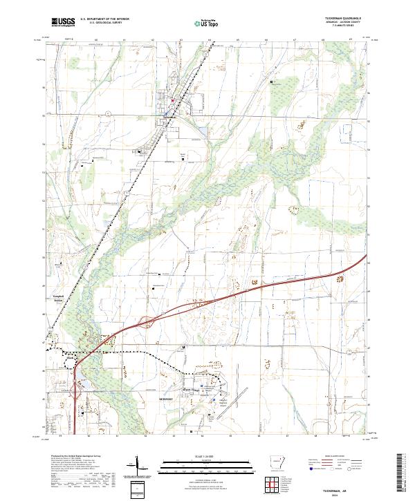 2024 Tuckerman2024 Print · USGSThe Arkansas Delta near Tuckerman and Newport appears here in the contemporary era, showing a landscape shaped by drainage ditches and rural settlements. Researchers can locate several family burying grounds like Stennick Cem and Post Oak Cem or trace the path of Village Creek.
End of results
Showing maps 1-15 of 15
Top cities near Diaz
- Newport historical maps
- Tuckerman historical maps
- Newark historical maps
- Bradford historical maps
- Swifton historical maps
- Sulphur Rock historical maps
See more
Top neighborhoods of Diaz
Frequently asked questions
- What are the different types of historical maps available for Diaz?
- What is the oldest map of Diaz?
- Where can I purchase historical maps of Diaz for my home or office?
- Where can I download high-res historical maps of Diaz?
- Are there historical topographic maps available for Diaz?
- Is there historical aerial imagery available for Diaz?
- Where are historical maps of Diaz sourced from?