Old Maps of Diaz, Arkansas for Genealogy
Trace your family roots with 26 historic maps of Diaz. These high-res maps reveal old neighborhoods, homesites, landmarks, and streets — helping you uncover where your ancestors lived and how the area evolved over time.
- Explore historic neighborhoods: Identify where your relatives may have lived in the 1800s or 1900s.
- Compare maps over time: Trace the changes in streets, buildings, and landmarks for multi-generational research.
- Perfect for genealogy & ancestry research: Used by family historians and researchers to map out lineage and migration.
These maps are an incredible resource for exploring your personal connection to Diaz's past.
Diaz, AR maps
(26)- 1935 Map of Newport, 1937 Print
 1935 Newport1937 Print · USGSJackson and Independence counties are captured here in the mid-1930s as the river-and-rail economy shaped local life. Genealogists can trace family landmarks like MeGuire Cem and Griffin Sch, while historians can locate the old river port at Jacksonport.2 unique versions available
 - 1935 Map of Tuckerman, 1946 Print
 1935 Tuckerman1946 Print · USGSNortheast Arkansas in the mid-thirties was a landscape shaped by the Cache River and a dense network of drainage ditches. Family historians can trace rural roots through numerous combined sites like Antioch Ch & Cem and Green Haw Sch & Cem.2 unique versions available
 - 1953 Map of Memphis, 1966 Print
 1953 Memphis1966 Print · USGSEastern Arkansas and the Memphis riverfront are shown here during the mid-century period of regional growth and river management. Local historians can trace the paths of the Chicago Rock Island & Pacific RR through Forrest City or locate river landmarks like President's Island.3 unique versions available
 - 1956 Map of Memphis
 1956 Memphis1956 Print · USGSThe Mississippi Delta and the bluffs of West Tennessee meet in the mid-fifties, showing a landscape defined by massive river systems and rail hubs. Researchers can trace the path of Crowleys Ridge or locate vanished river landings near Centennial Island and Island No 35.
 - 1962 Map of Jacksonport, 1963 Print
 1962 Jacksonport1963 Print · USGSThe confluence of the Black and White Rivers in the early 1960s highlights a landscape of oxbows and riverfront history. Researchers can locate numerous family cemeteries such as Holloway Cem and Mercy Seat Cem, or trace the MISSOURI PACIFIC line through Campbell Station.3 unique versions available
 - 1962 Map of Newport, 1963 Print
 1962 Newport1963 Print · USGSJackson and Independence counties are captured here in the early sixties, centered on the riverfront development of Newport. Researchers can trace local genealogy and rural life through landmarks like Nuckles Switch Cem, Castleberry Sch, and the abandoned airport.3 unique versions available
 - 1962 Map of Newport, 1967 Print
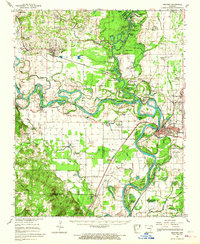 1962 Newport1967 Print · USGSThe Arkansas Delta comes to life in the early sixties, showing the river-dominated landscape of Jackson and Independence Counties. Researchers can trace family sites at Elgin Landmark Ch or follow the Missouri Pacific rails through Oil Trough and Newport.
 - 1965 Map of Tuckerman, 1966 Print
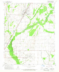 1965 Tuckerman1966 Print · USGSJackson County's agricultural heartland is captured here in the mid-1960s, showing the vital rail and water networks connecting the region. Researchers can trace family history through numerous landmarks like Gracelawn Cem, Eastside Sch, and the community at Campbell Station.2 unique versions available
 - 1966 Map of Newport
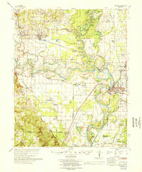 1966 Newport1966 Print · USGSThe White River meanders through Jackson and Independence counties in the mid-sixties, revealing a network of river-bend settlements and rail hubs. Researchers can trace historic church sites like Mt Zion Ch, family cemeteries such as Salem Cem, and the industrial pulse of Newport and Newark.
 - 1967 Map of Tuckerman
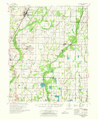 1967 Tuckerman1967 Print · USGSThe Jackson County lowlands are captured here in the mid-sixties, showing a landscape defined by the Cache River and its sloughs. Trace family history at Gracelawn Cem, find old school sites like Eastside Sch, and locate industrial landmarks like Stringers Mill.
 - 1986 Map of Batesville
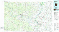 1986 Batesville1986 Print · USGSNorth-central Arkansas in the mid-eighties shows a landscape of river-bend towns and Ozark foothills during a period of steady growth. You can trace family roots through numerous upland sites like Hickory Valley School, Sandtown Hill Cem, and the riverfront at Oil Trough.2 unique versions available
 - 2011 Map of Newport, 2011 Print
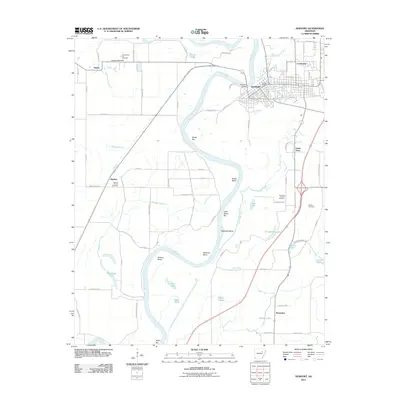 2011 Newport2011 Print · USGSNewport and its surrounding riverbends are documented here during the early twenty-first century as the town serves as a hub for the White River valley. Researchers can trace local lineage through the Anthony Family Cemetery, the settlement of Island Town, and the Surrounded Hill Cemetery.
 - 2011 Map of Tuckerman, 2011 Print
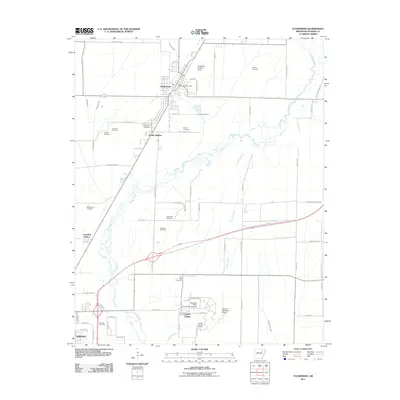 2011 Tuckerman2011 Print · USGSJackson County is documented here in the early twenty-first century as the region balanced its agricultural roots with modern development. Researchers can trace family history through a dozen local burial sites like Gracelawn and Prysock Cemetery, or locate the campus of Arkansas State University - Newport.
 - 2011 Map of Jacksonport, 2011 Print
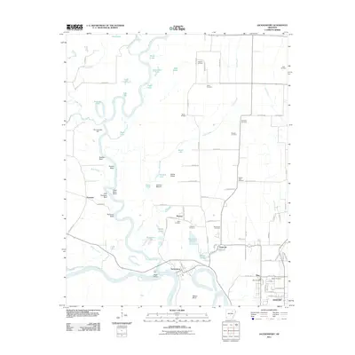 2011 Jacksonport2011 Print · USGSJackson County at the start of the 2010s shows a landscape still deeply defined by the winding Black River and its many oxbow lakes. Genealogists and local historians can trace family plots at Shiloh Cemetery or Roberts-Penix Cemetery and locate the historic Point Ferry crossing.
 - 2014 Map of Jacksonport, 2014 Print
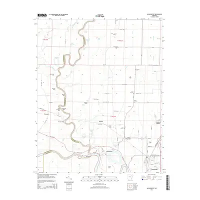 2014 Jacksonport2014 Print · USGSThe confluence of the White and Black Rivers at Jacksonport is captured here in the early twenty-first century. Genealogists can locate family burial sites at Shiloh Cem, Salem Cem, and Roberts Penix Cem while tracing land features like Howard Mound.
 - 2014 Map of Newport, 2014 Print
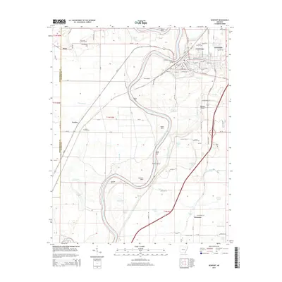 2014 Newport2014 Print · USGSNewport and its riverfront were well-established at the time of this survey, anchored by the shifting course of the White River. Local researchers can trace family plots at Walnut Grove Cem and explore old settlements like Nuckles and Island Town.
 - 2014 Map of Tuckerman, 2014 Print
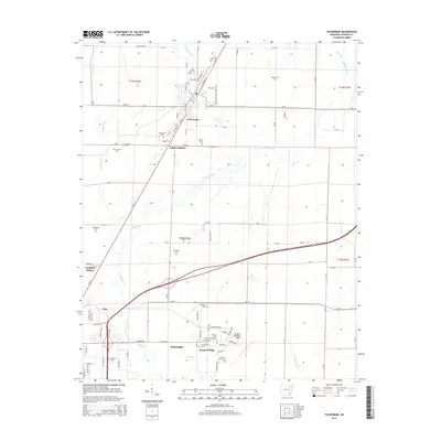 2014 Tuckerman2014 Print · USGSJackson County in the early twenty-first century is a landscape of established towns and managed waterways. Genealogists can trace family footprints across numerous local burial sites like Gracelawn Cem, Parrott Cem, and Williamson Cem.
 - 2017 Map of Jacksonport, 2017 Print
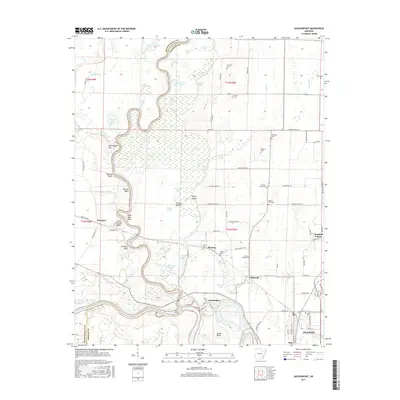 2017 Jacksonport2017 Print · USGSJackson County during the late twenty-teens shows a landscape deeply tied to the winding Black River and White River. Researchers can trace the boundaries of rural settlements like Paroquet and Fitzgerald or locate family burial sites at Scott Cem and Salem Cem.
 - 2017 Map of Newport, 2017 Print
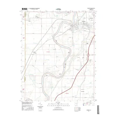 2017 Newport2017 Print · USGSNewport and its riverine surroundings are captured here in the late twenty-teens, showing the complex interaction between the town and the shifting White River. Researchers can locate several historic burial grounds including Nuckles Switch Cem and Walnut Grove Cem alongside outlying settlements like Island Town and Horseshoe.
 - 2017 Map of Tuckerman, 2017 Print
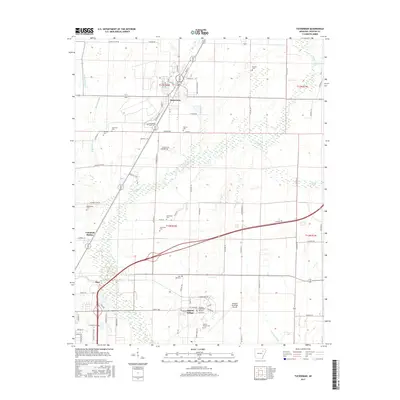 2017 Tuckerman2017 Print · USGSJackson County settlement and agriculture are well-defined in this recent survey of the corridor between Tuckerman and Diaz. Researchers can locate numerous local burial sites like Prysock Cem and Post Oak Cem alongside the winding course of Village Creek.
 - 2020 Map of Jacksonport, 2020 Print
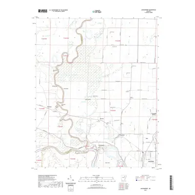 2020 Jacksonport2020 Print · USGSThe confluence of the White River and Black River at Jacksonport anchors this study of Jackson County's water-shaped landscape. Trace local heritage through landmarks like Howard Mound, the river bends at Dead Mule Bend, and rural burial sites like Mercy Seat Cem.
 - 2020 Map of Tuckerman, 2020 Print
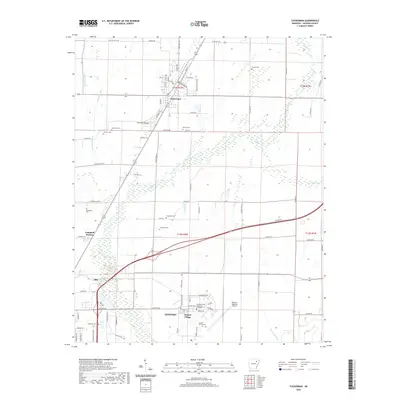 2020 Tuckerman2020 Print · USGSJackson County at the start of the 2020s shows a landscape of established rail-and-road towns and vital agricultural drainage networks. Genealogists and local historians can trace family sites at Post Oak Cem and Stennick Cem or explore the area around Airport Village.
 - 2020 Map of Newport, 2020 Print
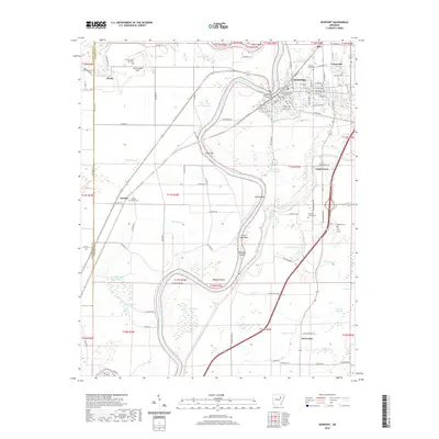 2020 Newport2020 Print · USGSNewport and its neighboring river communities are documented here during the early twenty-first century as the White River continues to shape the Jackson County landscape. Researchers can trace local history through sites like the Jackson County Courthouse and numerous burial grounds including Walnut Grove Cem and Nuckles Switch Cem.
 - 2024 Map of Newport, 2024 Print
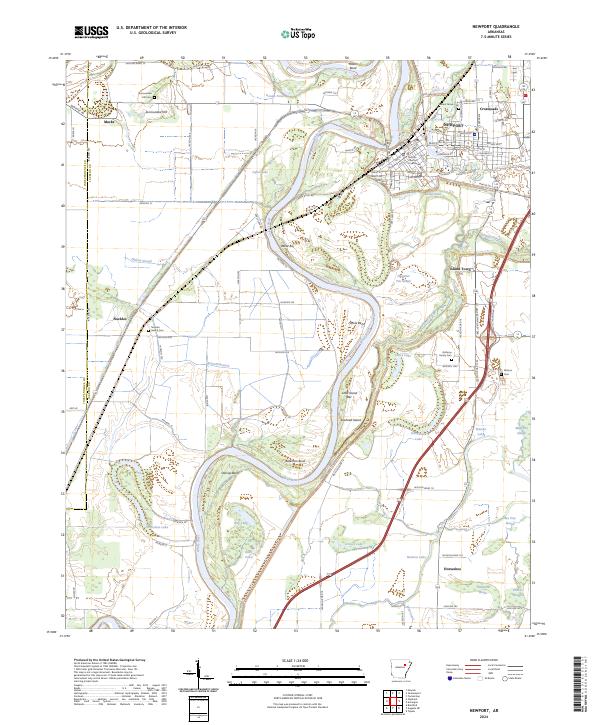 2024 Newport2024 Print · USGSIn the modern era, the riverfront town of NEWPORT remains anchored by the White River and its labyrinth of surrounding sloughs. Researchers can trace local lineage at Nuckles Switch Cem and Walnut Grove Cem or locate the historic Jackson County Courthouse.
 - 2024 Map of Jacksonport, 2024 Print
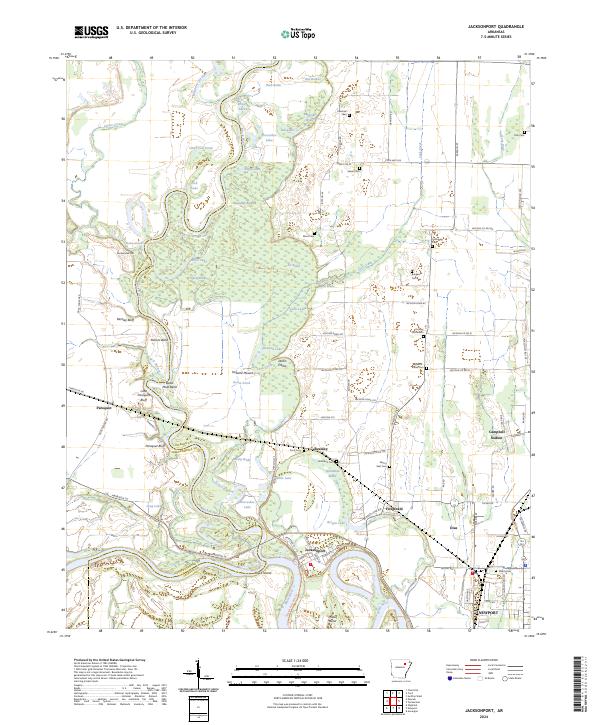 2024 Jacksonport2024 Print · USGSThe river-driven landscape of Jackson County is captured here at the junction of the White and Black Rivers. Local historians can trace cemetery locations like Shiloh Cem and Holloway Cem, or locate landmarks such as Jacksonport and Berkley Bluff.
Showing maps 1-25 of 26
Top cities near Diaz
- Newport historical maps
- Tuckerman historical maps
- Newark historical maps
- Bradford historical maps
- Swifton historical maps
- Sulphur Rock historical maps
See more
Top neighborhoods of Diaz
Frequently asked questions
- What are the different types of historical maps available for Diaz?
- What is the oldest map of Diaz?
- Where can I purchase historical maps of Diaz for my home or office?
- Where can I download high-res historical maps of Diaz?
- Are there historical topographic maps available for Diaz?
- Is there historical aerial imagery available for Diaz?
- Where are historical maps of Diaz sourced from?