Old Maps of Diaz, Arkansas for Academic Research
Study the evolution of Diaz with 26 high-resolution historic maps. Whether you're teaching, researching, or modeling changes in land use, these maps provide essential visual documentation of urban, environmental, and geographic change.
- Analyze long-term change: Track patterns in development, transportation, and natural features.
- Ideal for environmental or urban studies: Support academic projects with primary historical map data.
- Use in the classroom or lab: Educators and researchers rely on these maps to bring historical context to life.
These maps are a powerful tool for teaching, research, and visualizing how Diaz has changed over the decades.
Diaz, AR maps
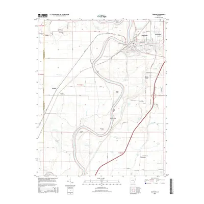
(26)- 1935 Map of Newport, 1937 Print
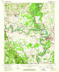
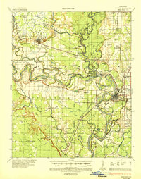 1935 Newport1937 Print · USGSJackson and Independence counties are captured here in the mid-1930s as the river-and-rail economy shaped local life. Genealogists can trace family landmarks like MeGuire Cem and Griffin Sch, while historians can locate the old river port at Jacksonport.2 unique versions available
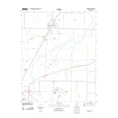
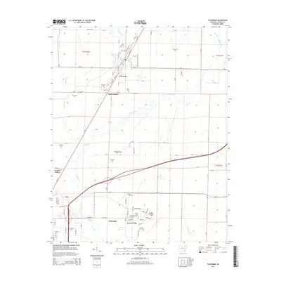
 - 1935 Map of Tuckerman, 1946 Print
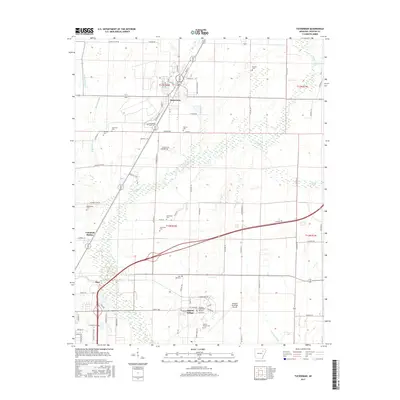
 1935 Tuckerman1946 Print · USGSNortheast Arkansas in the mid-thirties was a landscape shaped by the Cache River and a dense network of drainage ditches. Family historians can trace rural roots through numerous combined sites like Antioch Ch & Cem and Green Haw Sch & Cem.2 unique versions available
 - 1953 Map of Memphis, 1966 Print
 1953 Memphis1966 Print · USGSEastern Arkansas and the Memphis riverfront are shown here during the mid-century period of regional growth and river management. Local historians can trace the paths of the Chicago Rock Island & Pacific RR through Forrest City or locate river landmarks like President's Island.3 unique versions available
 - 1956 Map of Memphis
 1956 Memphis1956 Print · USGSThe Mississippi Delta and the bluffs of West Tennessee meet in the mid-fifties, showing a landscape defined by massive river systems and rail hubs. Researchers can trace the path of Crowleys Ridge or locate vanished river landings near Centennial Island and Island No 35.
 - 1962 Map of Jacksonport, 1963 Print
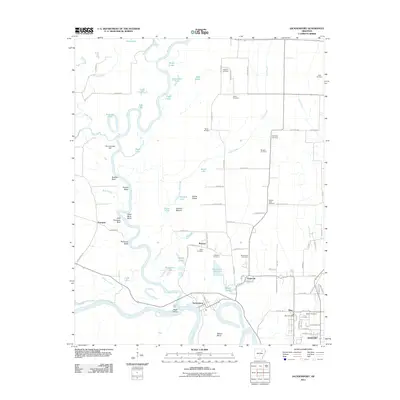
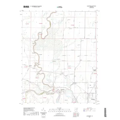
 1962 Jacksonport1963 Print · USGSThe confluence of the Black and White Rivers in the early 1960s highlights a landscape of oxbows and riverfront history. Researchers can locate numerous family cemeteries such as Holloway Cem and Mercy Seat Cem, or trace the MISSOURI PACIFIC line through Campbell Station.3 unique versions available
 - 1962 Map of Newport, 1963 Print
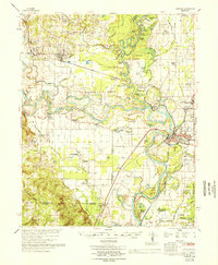
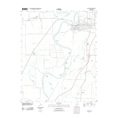
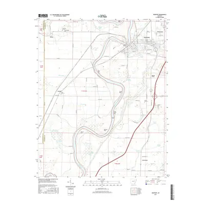
 1962 Newport1963 Print · USGSJackson and Independence counties are captured here in the early sixties, centered on the riverfront development of Newport. Researchers can trace local genealogy and rural life through landmarks like Nuckles Switch Cem, Castleberry Sch, and the abandoned airport.3 unique versions available
 - 1962 Map of Newport, 1967 Print
 1962 Newport1967 Print · USGSThe Arkansas Delta comes to life in the early sixties, showing the river-dominated landscape of Jackson and Independence Counties. Researchers can trace family sites at Elgin Landmark Ch or follow the Missouri Pacific rails through Oil Trough and Newport.
 - 1965 Map of Tuckerman, 1966 Print
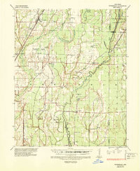
 1965 Tuckerman1966 Print · USGSJackson County's agricultural heartland is captured here in the mid-1960s, showing the vital rail and water networks connecting the region. Researchers can trace family history through numerous landmarks like Gracelawn Cem, Eastside Sch, and the community at Campbell Station.2 unique versions available
 - 1966 Map of Newport
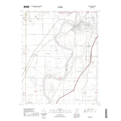
 1966 Newport1966 Print · USGSThe White River meanders through Jackson and Independence counties in the mid-sixties, revealing a network of river-bend settlements and rail hubs. Researchers can trace historic church sites like Mt Zion Ch, family cemeteries such as Salem Cem, and the industrial pulse of Newport and Newark.
 - 1967 Map of Tuckerman
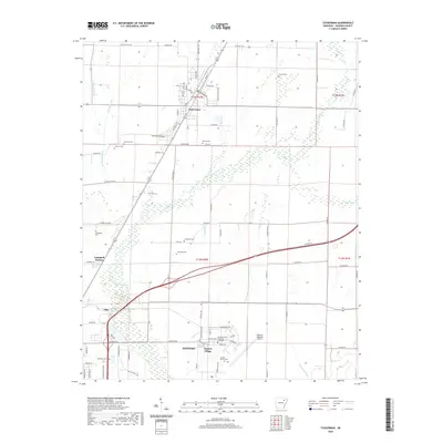
 1967 Tuckerman1967 Print · USGSThe Jackson County lowlands are captured here in the mid-sixties, showing a landscape defined by the Cache River and its sloughs. Trace family history at Gracelawn Cem, find old school sites like Eastside Sch, and locate industrial landmarks like Stringers Mill.
 - 1986 Map of Batesville
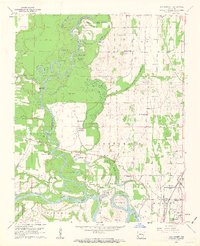
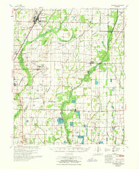
 1986 Batesville1986 Print · USGSNorth-central Arkansas in the mid-eighties shows a landscape of river-bend towns and Ozark foothills during a period of steady growth. You can trace family roots through numerous upland sites like Hickory Valley School, Sandtown Hill Cem, and the riverfront at Oil Trough.2 unique versions available
 - 2011 Map of Newport, 2011 Print
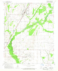
 2011 Newport2011 Print · USGSCovers Diaz, including Newport, Horseshoe, and other nearby areas
 - 2011 Map of Tuckerman, 2011 Print
 2011 Tuckerman2011 Print · USGSCovers Diaz, including Newport, Tuckerman, and other nearby areas
 - 2011 Map of Jacksonport, 2011 Print
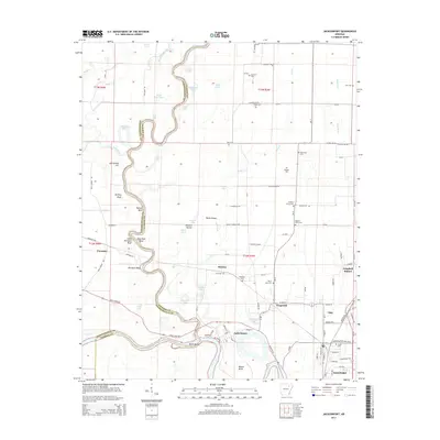
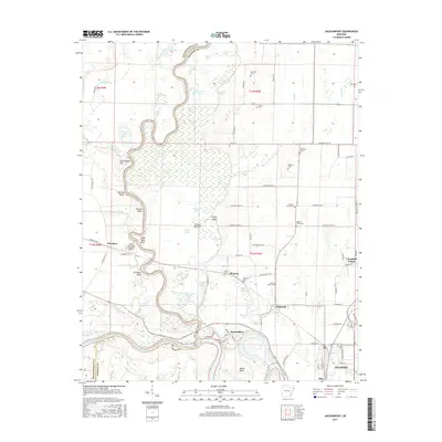
 2011 Jacksonport2011 Print · USGSCovers Diaz, including Newport, Campbell Station, and other nearby areas
 - 2014 Map of Jacksonport, 2014 Print
 2014 Jacksonport2014 Print · USGSCovers Diaz, including Newport, Campbell Station, and other nearby areas
 - 2014 Map of Newport, 2014 Print
 2014 Newport2014 Print · USGSCovers Diaz, including Newport, Horseshoe, and other nearby areas
 - 2014 Map of Tuckerman, 2014 Print
 2014 Tuckerman2014 Print · USGSCovers Diaz, including Newport, Tuckerman, and other nearby areas
 - 2017 Map of Jacksonport, 2017 Print
 2017 Jacksonport2017 Print · USGSCovers Diaz, including Newport, Campbell Station, and other nearby areas
 - 2017 Map of Newport, 2017 Print
 2017 Newport2017 Print · USGSCovers Diaz, including Newport, Horseshoe, and other nearby areas
 - 2017 Map of Tuckerman, 2017 Print
 2017 Tuckerman2017 Print · USGSCovers Diaz, including Newport, Tuckerman, and other nearby areas
 - 2020 Map of Jacksonport, 2020 Print
 2020 Jacksonport2020 Print · USGSCovers Diaz, including Newport, Campbell Station, and other nearby areas
 - 2020 Map of Tuckerman, 2020 Print
 2020 Tuckerman2020 Print · USGSCovers Diaz, including Newport, Tuckerman, and other nearby areas
 - 2020 Map of Newport, 2020 Print
 2020 Newport2020 Print · USGSCovers Diaz, including Newport, Horseshoe, and other nearby areas
 - 2024 Map of Newport, 2024 Print
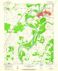
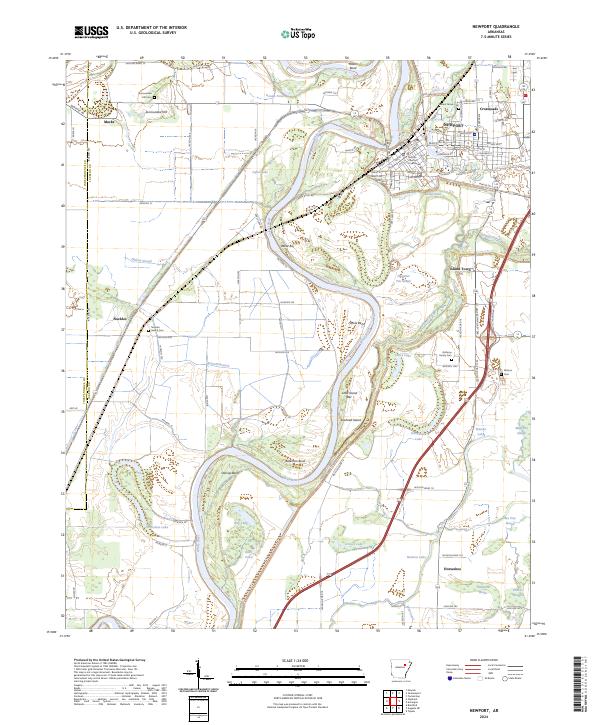 2024 Newport2024 Print · USGSIn the modern era, the riverfront town of NEWPORT remains anchored by the White River and its labyrinth of surrounding sloughs. Researchers can trace local lineage at Nuckles Switch Cem and Walnut Grove Cem or locate the historic Jackson County Courthouse.
 - 2024 Map of Jacksonport, 2024 Print
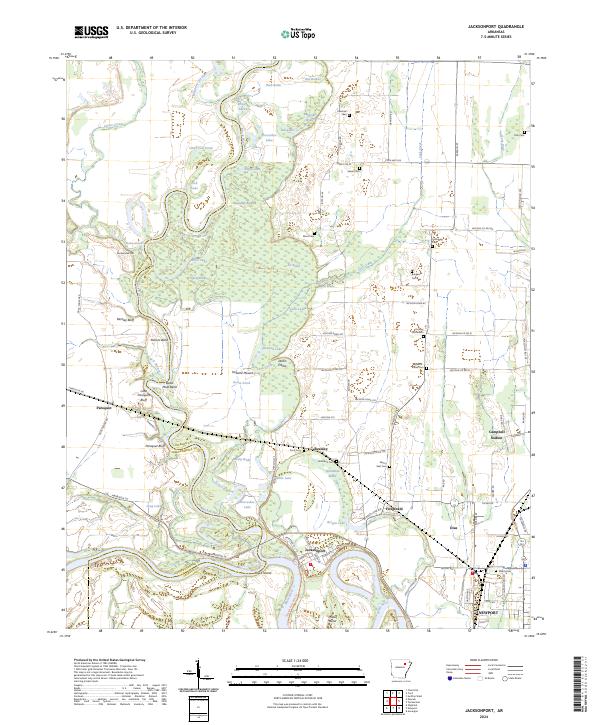 2024 Jacksonport2024 Print · USGSThe river-driven landscape of Jackson County is captured here at the junction of the White and Black Rivers. Local historians can trace cemetery locations like Shiloh Cem and Holloway Cem, or locate landmarks such as Jacksonport and Berkley Bluff.
Showing maps 1-25 of 26
Top cities near Diaz
- Newport historical maps
- Tuckerman historical maps
- Newark historical maps
- Bradford historical maps
- Swifton historical maps
- Sulphur Rock historical maps
See more
Top neighborhoods of Diaz
Frequently asked questions
- What are the different types of historical maps available for Diaz?
- What is the oldest map of Diaz?
- Where can I purchase historical maps of Diaz for my home or office?
- Where can I download high-res historical maps of Diaz?
- Are there historical topographic maps available for Diaz?
- Is there historical aerial imagery available for Diaz?
- Where are historical maps of Diaz sourced from?