Old Maps of Jackson County, Arkansas for Hiking & Exploration
Hike through history with 147 historic maps of Jackson County. Explore old trails, ghost towns, and forgotten backroads — perfect for outdoor adventurers and local explorers.
- Rediscover forgotten places: Map out old mining camps, roads, and footpaths that no longer exist on modern maps.
- Layer with modern tools: Combine with LiDAR or satellite views to plan hikes through historical terrain.
- Made for exploration: Popular among hikers, overlanders, and local history lovers.
Use these maps to find adventure and explore the hidden past of Jackson County.
Jackson County, AR maps
(147)- 1890 Map of Batesville
 1890 Batesville1890 Print · USGSIndependence and Sharp counties relied on a intricate network of river ferries and rural outposts in the 1890s. Researchers can trace ancestral locations like Old Clem Place, historic church sites like Bethesda Ch, and river crossings at Walls Fy.
 - 1891 Map of Batesville
 1891 Batesville1891 Print · USGSNorthern Arkansas in the late nineteenth century centers on the White River corridor. Genealogists can trace family landmarks like Old Clem Place and early river crossings such as Grigsby Fy or the rail lines through Sulphur Rock.6 unique versions available
 - 1932 Map of Strawberry
 1932 Strawberry1932 Print · USGSThe river bottoms of Northeast Arkansas are captured in the early 1930s, showing the intersection of the Strawberry River and Black River. Researchers can locate historic landmarks like the Pruitts Mill Site, Buck Cem, and local schools including Cord Sch.
 - 1935 Map of Alicia, 1936 Print
 1935 Alicia1936 Print · USGSThe Black River bottomlands of the 1930s are captured here during a period of transition from river landings to rail and highway transit. Researchers can locate numerous family-named landmarks and vanished schools such as Clover Bend Sch, Vandy Cem, and the Old Martin Mill Place.3 unique versions available
 - 1935 Map of Strawberry, 1936 Print
 1935 Strawberry1936 Print · USGSNortheast Arkansas in the mid-1930s shows a landscape of upland ridges and river bottomlands at the junction of four counties. Researchers can trace rural family life through many churchyards and schools, from Sulphur Rock up to the Pruitte Mill Site and Saffell.
 - 1935 Map of Newport, 1937 Print
 1935 Newport1937 Print · USGSJackson and Independence counties are captured here in the mid-1930s as the river-and-rail economy shaped local life. Genealogists can trace family landmarks like MeGuire Cem and Griffin Sch, while historians can locate the old river port at Jacksonport.2 unique versions available
 - 1935 Map of Augusta, 1938 Print
 1935 Augusta1938 Print · USGSThe Arkansas Delta comes alive in the mid-1930s as the White River winds past the railroad hubs of Augusta and New Augusta. Genealogists can locate family landmarks like Spriggs Mill, Holly Grove Church, and various river landings including Hames Ferry.2 unique versions available
 - 1935 Map of Tuckerman, 1946 Print
 1935 Tuckerman1946 Print · USGSNortheast Arkansas in the mid-thirties was a landscape shaped by the Cache River and a dense network of drainage ditches. Family historians can trace rural roots through numerous combined sites like Antioch Ch & Cem and Green Haw Sch & Cem.2 unique versions available
 - 1935 Map of Bald Knob, 1963 Print
 1935 Bald Knob1963 Print · USGSWhite County during the mid-1930s is defined by its rail-linked towns and the winding Little Red River. Researchers can trace numerous vanished landmarks, from the Seven Day Sch and Big Four Sch to the Missouri Pacific Railroad corridor.
 - 1940 Map of Tilton, 1947 Print
 1940 Tilton1947 Print · USGSEastern Arkansas at the start of the 1940s is captured here as a landscape of river-fed bottoms and thriving rail-side towns. Genealogists and local historians can trace family roots through the numerous rural landmarks like Fakes Chapel & Cem, Pumpkin Bend Cem, and Weldon Sch.2 unique versions available
 - 1941 Map of Strawberry, 1946 Print
 1941 Strawberry1946 Print · USGSThe rural river valleys of northeast Arkansas are shown here during the early 1940s, highlighting a landscape of small schools and post offices. Genealogists can trace family roots through landmarks like Saffell Post Office, Buck Cem, and Harmony Sch.
 - 1953 Map of Memphis, 1966 Print
 1953 Memphis1966 Print · USGSEastern Arkansas and the Memphis riverfront are shown here during the mid-century period of regional growth and river management. Local historians can trace the paths of the Chicago Rock Island & Pacific RR through Forrest City or locate river landmarks like President's Island.3 unique versions available
 - 1955 Map of Cord, 1956 Print
 1955 Cord1956 Print · USGSIndependence and Jackson counties are shown in the mid-fifties, dominated by the winding path of the Black River. Genealogists and local historians can trace rural family sites near Stone Ch, Happy Cem, and the settlement of Cord.3 unique versions available
 - 1956 Map of Memphis
 1956 Memphis1956 Print · USGSThe Mississippi Delta and the bluffs of West Tennessee meet in the mid-fifties, showing a landscape defined by massive river systems and rail hubs. Researchers can trace the path of Crowleys Ridge or locate vanished river landings near Centennial Island and Island No 35.
 - 1956 Map of Tilton
 1956 Tilton1956 Print · USGSThe Arkansas Delta comes into focus in the mid-1950s, showing a landscape of drainage canals and rail-line towns. Researchers can trace family roots at Pumpkin Bend, Beedeville, and the crossroads of McCrory.
 - 1957 Map of Augusta
 1957 Augusta1957 Print · USGSThe White River Delta in the late fifties was a network of oxbow lakes and rail-dependent river towns. Researchers can trace family roots through numerous rural landmarks like Holly Grove Ch & Cem, Old Grand Glaise, and the Woodruff Co Sch.
 - 1962 Map of Jacksonport, 1963 Print
 1962 Jacksonport1963 Print · USGSThe confluence of the Black and White Rivers in the early 1960s highlights a landscape of oxbows and riverfront history. Researchers can locate numerous family cemeteries such as Holloway Cem and Mercy Seat Cem, or trace the MISSOURI PACIFIC line through Campbell Station.3 unique versions available
 - 1962 Map of Olyphant, 1963 Print
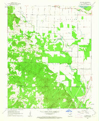 1962 Olyphant1963 Print · USGSIndependence and Jackson counties are captured here in the early sixties as the rail-side community of Olyphant and rural settlements like Thida anchored the landscape. Genealogists can trace family names at Lone Beech Cem and Sanders Cem or locate the local Blackland Chapel.2 unique versions available
 - 1962 Map of Newport, 1963 Print
 1962 Newport1963 Print · USGSJackson and Independence counties are captured here in the early sixties, centered on the riverfront development of Newport. Researchers can trace local genealogy and rural life through landmarks like Nuckles Switch Cem, Castleberry Sch, and the abandoned airport.3 unique versions available
 - 1962 Map of Newport, 1967 Print
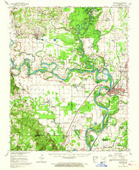 1962 Newport1967 Print · USGSThe Arkansas Delta comes to life in the early sixties, showing the river-dominated landscape of Jackson and Independence Counties. Researchers can trace family sites at Elgin Landmark Ch or follow the Missouri Pacific rails through Oil Trough and Newport.
 - 1965 Map of Amagon, 1966 Print
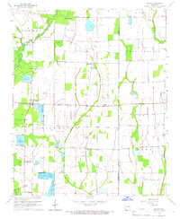 1965 Amagon1966 Print · USGSNortheast Arkansas in the mid-sixties is captured here as a landscape of managed wetlands and small rural communities. Genealogists can locate family burial sites at Carter Cem and Johnson Cem or trace the early industrial footprint of Stringers Mill.
 - 1965 Map of Grubbs, 1966 Print
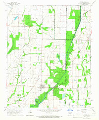 1965 Grubbs1966 Print · USGSNear the Cache River in the mid-1960s, this area of Jackson County shows a landscape of engineered drainage and small farming outposts. Researchers can locate several remote burial grounds and churches, including Denton Island Cem, Hollows Chapel, and the settlement of Grubbs.
 - 1965 Map of Huff, 1966 Print
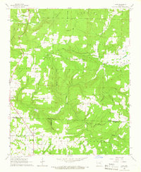 1965 Huff1966 Print · USGSThe rural interior of northern Arkansas comes into focus in the mid-1960s as these hillsides transitioned from traditional farming toward modern infrastructure. Genealogists and historians can trace family locations near Huff Cem, Midway, and Sunnyside Ch.2 unique versions available
 - 1965 Map of Auvergne, 1966 Print
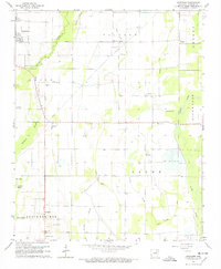 1965 Auvergne1966 Print · USGSJackson County's river bottoms were a maze of sloughs and timbered tracts in the mid-1960s. Genealogists and historians can trace family locations through sites like Odd Fellows Cem, Rutherford Sch, and the quiet community of Auvergne.2 unique versions available
 - 1965 Map of Tuckerman, 1966 Print
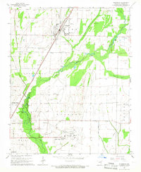 1965 Tuckerman1966 Print · USGSJackson County's agricultural heartland is captured here in the mid-1960s, showing the vital rail and water networks connecting the region. Researchers can trace family history through numerous landmarks like Gracelawn Cem, Eastside Sch, and the community at Campbell Station.2 unique versions available
Showing maps 1-25 of 147
Top cities of Jackson County
- Newport historical maps
- Tuckerman historical maps
- Diaz historical maps
- Swifton historical maps
- Grubbs historical maps
- Campbell Station historical maps
See more
Frequently asked questions
- What are the different types of historical maps available for Jackson County?
- What is the oldest map of Jackson County?
- Where can I purchase historical maps of Jackson County for my home or office?
- Where can I download high-res historical maps of Jackson County?
- Are there historical topographic maps available for Jackson County?
- Is there historical aerial imagery available for Jackson County?
- Where are historical maps of Jackson County sourced from?