2020s Maps of Jackson County, Arkansas
Explore 42 historic maps of Jackson County from the 2020s. These maps offer a rare glimpse into what life looked like during the 2020s — showing old roads, neighborhoods, homes, and landmarks that have changed or disappeared over time.
Whether you're researching your family's past, planning a metal detecting trip, or studying how Jackson County's landscape evolved across the 2020s, these high-resolution maps are a powerful tool for exploring the history of this region.
- Focus on a specific era: All maps on this page are from the 2020s, giving you a focused view of this time period.
- See what’s changed: Compare century-old streets, trails, and buildings to today's modern landscape using overlays and satellite layers.
- Research with precision: Use these maps for genealogy, historical research, land use analysis, or educational projects.
- View, download, or print: Maps are fully viewable online in high resolution, and can be downloaded or printed for your own records.
Start exploring Jackson County's history through authentic maps from the 2020s. This is your window into the past.
Jackson County, AR maps
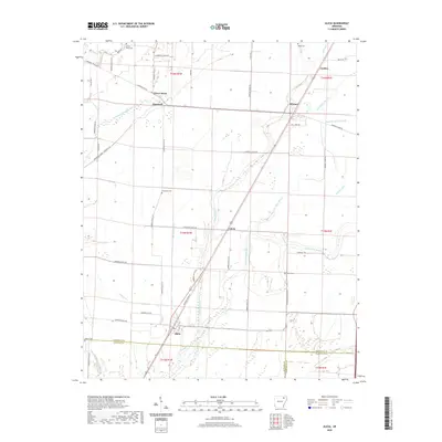
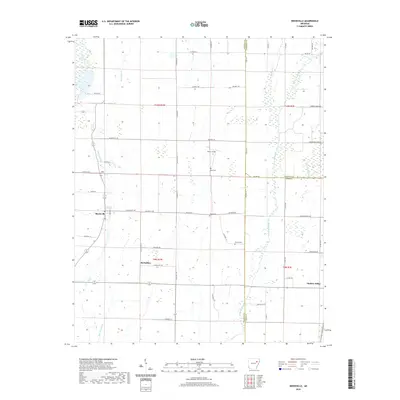
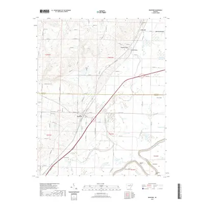
(42)- 2020 Map of Amagon, 2020 Print
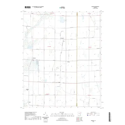 2020 Amagon2020 Print · USGSCovers Jackson County, including Amagon, Balch, and other nearby areas
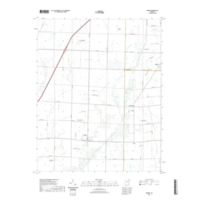
 - 2020 Map of Cord, 2020 Print
 2020 Cord2020 Print · USGSCovers Jackson County, including Elgin, Hazel Grove, and other nearby areas
 - 2020 Map of Strangers Home, 2020 Print
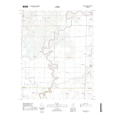 2020 Strangers Home2020 Print · USGSCovers Jackson County, including Lynn, Strangers Home, and other nearby areas
 - 2020 Map of Swifton West, 2020 Print
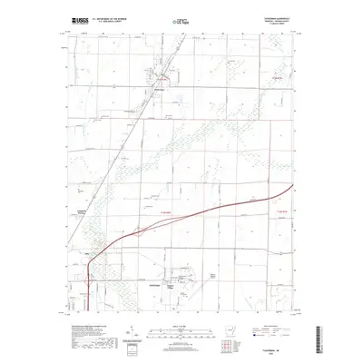
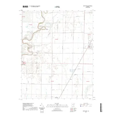 2020 Swifton West2020 Print · USGSCovers Jackson County, including Tuckerman, Swifton, and other nearby areas
 - 2020 Map of Tilton, 2020 Print
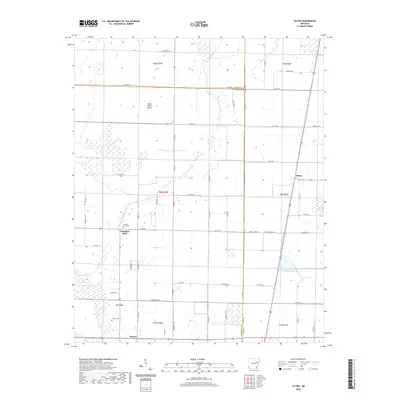 2020 Tilton2020 Print · USGSCovers Jackson County, including Tilton, Morton, and other nearby areas
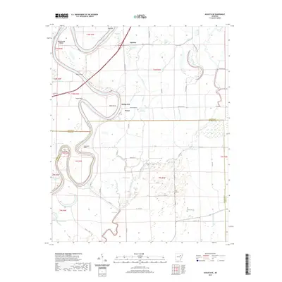
 - 2020 Map of Jacksonport, 2020 Print
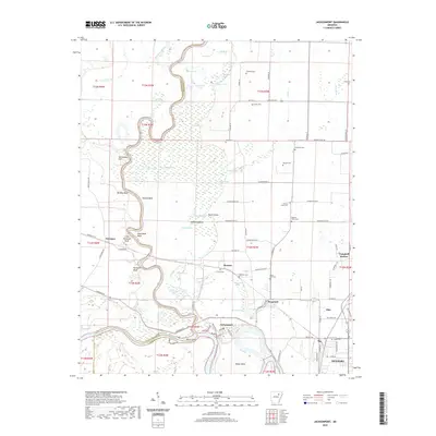 2020 Jacksonport2020 Print · USGSCovers Jackson County, including Newport, Diaz, and other nearby areas
 - 2020 Map of Swifton East, 2020 Print
 2020 Swifton East2020 Print · USGSCovers Jackson County, including Swifton, Denton Island, and other nearby areas
 - 2020 Map of Tuckerman, 2020 Print
 2020 Tuckerman2020 Print · USGSCovers Jackson County, including Newport, Tuckerman, and other nearby areas
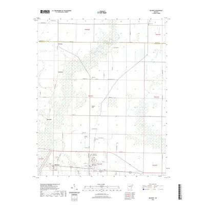
 - 2020 Map of Alicia, 2020 Print
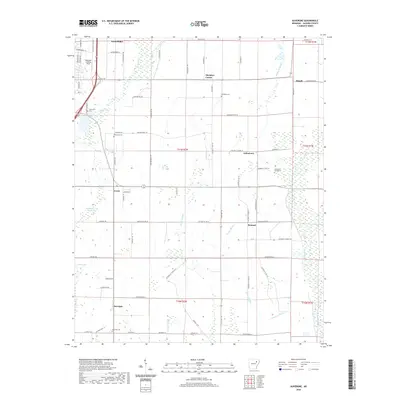
 2020 Alicia2020 Print · USGSCovers Jackson County, including Alicia, Minturn, and other nearby areas
 - 2020 Map of Augusta NE, 2020 Print
 2020 Augusta NE2020 Print · USGSCovers Jackson County, including Bengel, Pleasant Grove, and other nearby areas
 - 2020 Map of Huff, 2020 Print
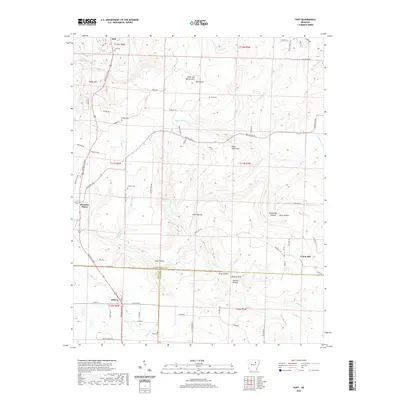 2020 Huff2020 Print · USGSCovers Jackson County, including Pleasant Plains, Midway, and other nearby areas
 - 2020 Map of Velvet Ridge, 2020 Print
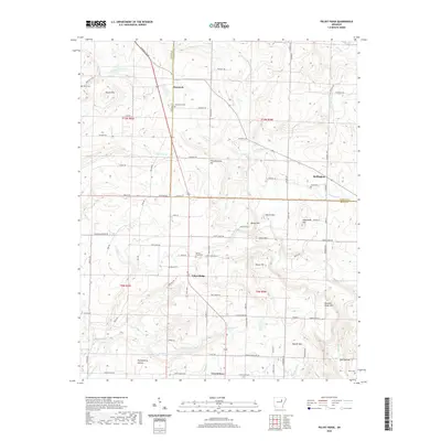 2020 Velvet Ridge2020 Print · USGSCovers Jackson County, including Heffington, Denmark, and other nearby areas
 - 2020 Map of McCrory, 2020 Print
 2020 McCrory2020 Print · USGSCovers Jackson County, including McCrory, Patterson, and other nearby areas
 - 2020 Map of Beedeville, 2020 Print
 2020 Beedeville2020 Print · USGSCovers Jackson County, including Hickory Ridge, Beedeville, and other nearby areas
 - 2020 Map of Grubbs, 2020 Print
 2020 Grubbs2020 Print · USGSCovers Jackson County, including Grubbs, Chilson, and other nearby areas
 - 2020 Map of Augusta, 2020 Print
 2020 Augusta2020 Print · USGSCovers Jackson County, including Augusta, Fitzhugh, and other nearby areas
 - 2020 Map of Tupelo, 2020 Print
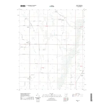 2020 Tupelo2020 Print · USGSCovers Jackson County, including Tupelo, Weldon, and other nearby areas
 - 2020 Map of Bradford, 2020 Print
 2020 Bradford2020 Print · USGSCovers Jackson County, including Bradford, Possum Grape, and other nearby areas
 - 2020 Map of Newport, 2020 Print
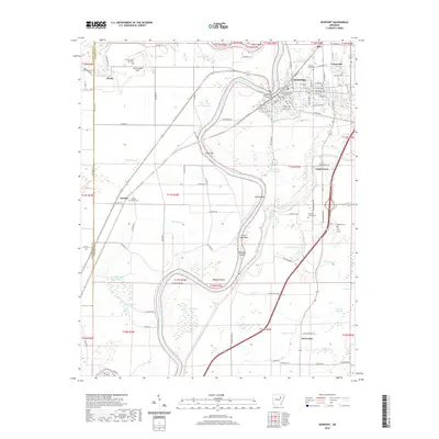 2020 Newport2020 Print · USGSCovers Jackson County, including Newport, Diaz, and other nearby areas
 - 2020 Map of Olyphant, 2020 Print
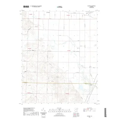 2020 Olyphant2020 Print · USGSCovers Jackson County, including Oil Trough, Olyphant, and other nearby areas
 - 2020 Map of Auvergne, 2020 Print
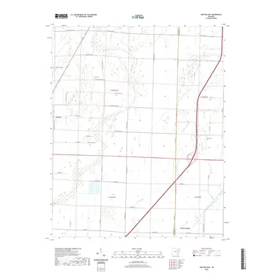
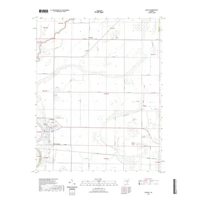
 2020 Auvergne2020 Print · USGSCovers Jackson County, including Newport, Stegall, and other nearby areas
 - 2024 Map of Auvergne, 2024 Print
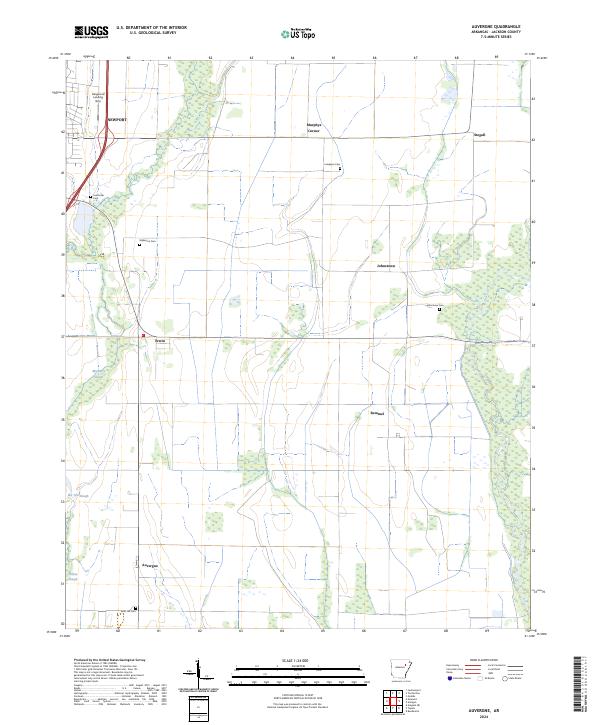 2024 Auvergne2024 Print · USGSThe Jackson County lowlands near Auvergne are shown here as a landscape of sloughs and small rural settlements. Researchers can locate family landmarks including Johnstown Cem, the Haigwood Landing Strip, and the crossroads at Remmel.
 - 2024 Map of Newport, 2024 Print
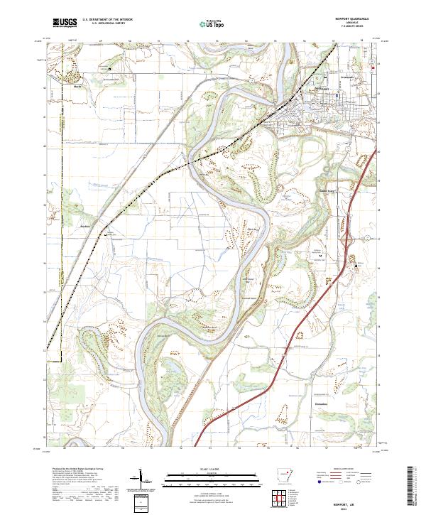 2024 Newport2024 Print · USGSIn the modern era, the riverfront town of NEWPORT remains anchored by the White River and its labyrinth of surrounding sloughs. Researchers can trace local lineage at Nuckles Switch Cem and Walnut Grove Cem or locate the historic Jackson County Courthouse.
 - 2024 Map of Beedeville, 2024 Print
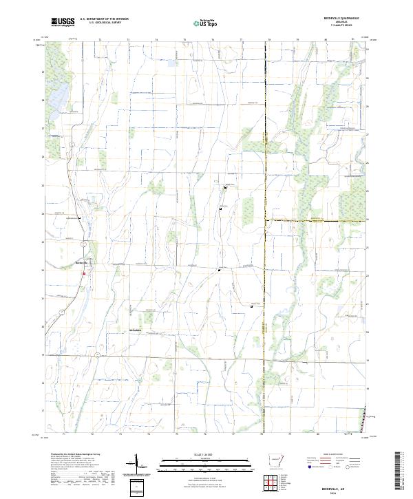 2024 Beedeville2024 Print · USGSBeedeville and the surrounding Jackson County wetlands are captured here in the contemporary era. Genealogists and local researchers can trace the locations of several rural burial grounds, including Eight Mile Cem and Givens Cem, alongside the waters of Bayou De View.
 - 2024 Map of Jacksonport, 2024 Print
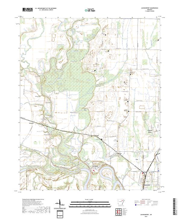 2024 Jacksonport2024 Print · USGSThe river-driven landscape of Jackson County is captured here at the junction of the White and Black Rivers. Local historians can trace cemetery locations like Shiloh Cem and Holloway Cem, or locate landmarks such as Jacksonport and Berkley Bluff.
Showing maps 1-25 of 42
Top cities of Jackson County
- Newport historical maps
- Tuckerman historical maps
- Diaz historical maps
- Swifton historical maps
- Grubbs historical maps
- Campbell Station historical maps
See more
Frequently asked questions
- What are the different types of historical maps available for Jackson County?
- What is the oldest map of Jackson County?
- Where can I purchase historical maps of Jackson County for my home or office?
- Where can I download high-res historical maps of Jackson County?
- Are there historical topographic maps available for Jackson County?
- Is there historical aerial imagery available for Jackson County?
- Where are historical maps of Jackson County sourced from?