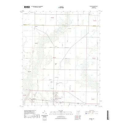
2020 Map of McCrory
USGS Topo · Published 2020About this map
McCrory and Patterson anchor the southern portion of this Woodruff County survey, where residential grids meet a landscape dominated by the winding path of the Cache River. The topography is defined by the wetlands and oxbows of the river valley, including numerous named water bodies such as White Lake, Hurricane Lake, and Little Cow Lake. The area's genealogical record is remarkably well-documented on this sheet, with several family-linked burial sites including Old Fakes Cem, Thomas Cem, and Morning View Cem scattered across the township lines. North of the primary settlements, smaller locales like Goodrich, Riverside, and Overcup sit among a network of county roads. The terrain is largely low-lying, with subtle elevations like Pulltight Ridge providing contrast to the surrounding river bottoms and agricultural fields that characterize this part of eastern Arkansas.
Find a feature on this map
63 named features on this map. Tap any name to fly to it.
Don’t see what you’re looking for? This feature index may not catch every label — zoom into the map to look around manually.
Map Details
Editions of this 2020 McCrory Map
This is the sole edition of this map. No revisions or reprints were ever made.
Other maps of this area

1935 · Augusta
USGS Topo · 1:62,500

1935 · Gregory
USGS Topo · 1:62,500

1939 · Hunter
USGS Topo · 1:62,500

1940 · Tilton
USGS Topo · 1:62,500

1953 · Memphis
USGS Topo · 1:250,000

1956 · Memphis
USGS Topo · 1:250,000

1956 · Tilton
USGS Topo · 1:62,500

1956 · Hunter
USGS Topo · 1:62,500

1957 · Augusta
USGS Topo · 1:62,500

1957 · Gregory
USGS Topo · 1:62,500