2020s Maps of Johnson County, Arkansas
Explore 40 historic maps of Johnson County from the 2020s. These maps offer a rare glimpse into what life looked like during the 2020s — showing old roads, neighborhoods, homes, and landmarks that have changed or disappeared over time.
Whether you're researching your family's past, planning a metal detecting trip, or studying how Johnson County's landscape evolved across the 2020s, these high-resolution maps are a powerful tool for exploring the history of this region.
- Focus on a specific era: All maps on this page are from the 2020s, giving you a focused view of this time period.
- See what’s changed: Compare century-old streets, trails, and buildings to today's modern landscape using overlays and satellite layers.
- Research with precision: Use these maps for genealogy, historical research, land use analysis, or educational projects.
- View, download, or print: Maps are fully viewable online in high resolution, and can be downloaded or printed for your own records.
Start exploring Johnson County's history through authentic maps from the 2020s. This is your window into the past.
Johnson County, AR maps
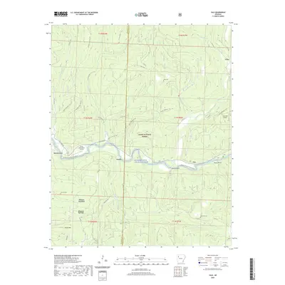
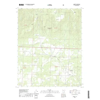
(40)- 2020 Map of Paris, 2020 Print
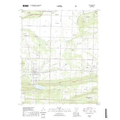 2020 Paris2020 Print · USGSCovers Johnson County, including Paris, Subiaco, and other nearby areas
 - 2020 Map of Lee Mountain, 2020 Print
 2020 Lee Mountain2020 Print · USGSCovers Johnson County, including Dover, Augsburg, and other nearby areas
 - 2020 Map of Ludwig, 2020 Print
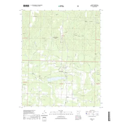 2020 Ludwig2020 Print · USGSCovers Johnson County, including Hillcrest, Mount Vernon, and other nearby areas
 - 2020 Map of Clarksville, 2020 Print
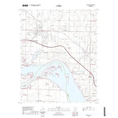 2020 Clarksville2020 Print · USGSCovers Johnson County, including Clarksville, Lamar, and other nearby areas
 - 2020 Map of Treat, 2020 Print
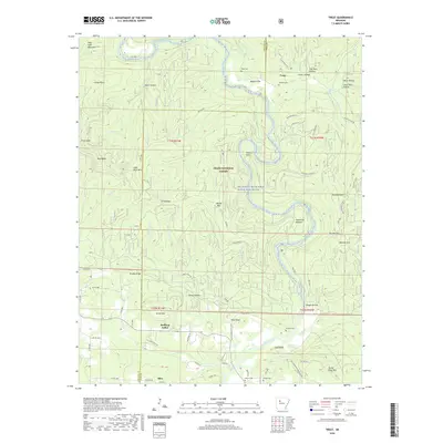 2020 Treat2020 Print · USGSCovers Johnson County, including Silex, Bullfrog Valley, and other nearby areas
 - 2020 Map of Fort Douglas, 2020 Print
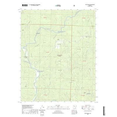 2020 Fort Douglas2020 Print · USGSCovers Johnson County, including Bertha, Dillen, and other nearby areas
 - 2020 Map of Oark, 2020 Print
 2020 Oark2020 Print · USGSCovers Johnson County, including Catalpa, Oark, and other nearby areas
 - 2020 Map of Rosetta, 2020 Print
 2020 Rosetta2020 Print · USGSCovers Johnson County, including Rosetta, Garber, and other nearby areas
 - 2020 Map of Coal Hill, 2020 Print
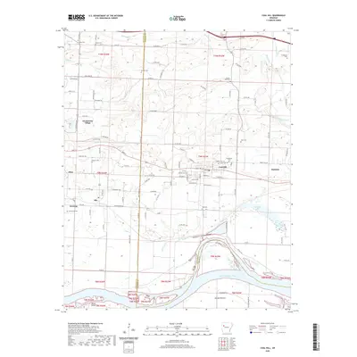 2020 Coal Hill2020 Print · USGSCovers Johnson County, including Coal Hill, Altus, and other nearby areas
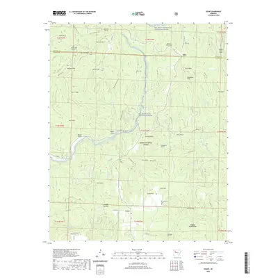
 - 2020 Map of Hartman, 2020 Print
 2020 Hartman2020 Print · USGSCovers Johnson County, including Clarksville, Hartman, and other nearby areas
 - 2020 Map of Boston, 2020 Print
 2020 Boston2020 Print · USGSCovers Johnson County, including Boston, Arbaugh, and other nearby areas
 - 2020 Map of Yale, 2020 Print
 2020 Yale2020 Print · USGSCovers Johnson County, including Beech Grove, Peanut, and other nearby areas
 - 2020 Map of Hagarville, 2020 Print
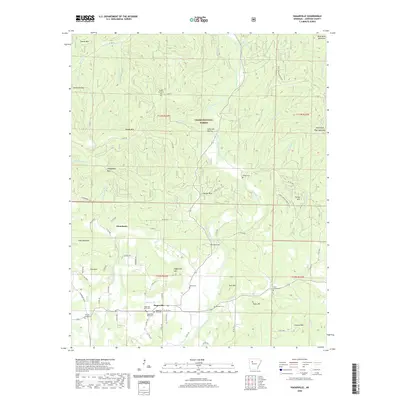 2020 Hagarville2020 Print · USGSCovers Johnson County, including Hagarville, Strawberry, and other nearby areas
 - 2020 Map of Ozone, 2020 Print
 2020 Ozone2020 Print · USGSCovers Johnson County, including Hickory Flat, Salus, and other nearby areas
 - 2020 Map of New Blaine, 2020 Print
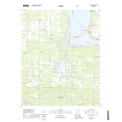 2020 New Blaine2020 Print · USGSCovers Johnson County, including Knoxville, Dublin, and other nearby areas
 - 2020 Map of Harmony, 2020 Print
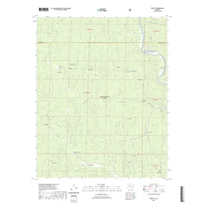
 2020 Harmony2020 Print · USGSCovers Johnson County, including Lone Pine, Harmony, and other nearby areas
 - 2020 Map of Pettigrew, 2020 Print
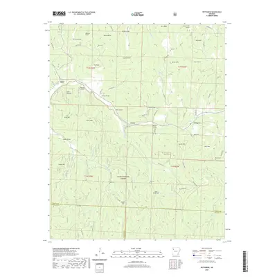 2020 Pettigrew2020 Print · USGSCovers Johnson County, including Dutton, Pettigrew, and other nearby areas
 - 2020 Map of Knoxville, 2020 Print
 2020 Knoxville2020 Print · USGSCovers Johnson County, including Lamar, Knoxville, and other nearby areas
 - 2020 Map of Hunt, 2020 Print
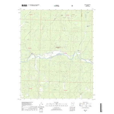
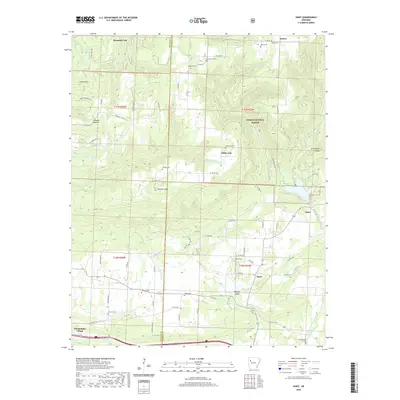 2020 Hunt2020 Print · USGSCovers Johnson County, including Wiederkehr Village, Edna, and other nearby areas
 - 2020 Map of Delaware, 2020 Print
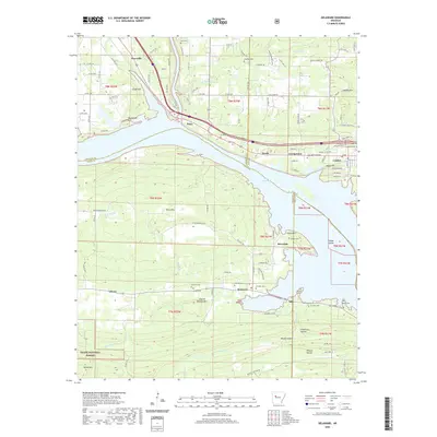 2020 Delaware2020 Print · USGSCovers Johnson County, including London, Knoxville, and other nearby areas
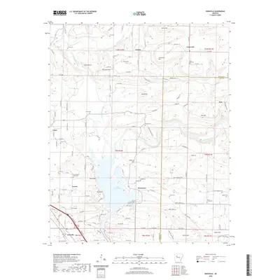
 - 2024 Map of Rosetta, 2024 Print
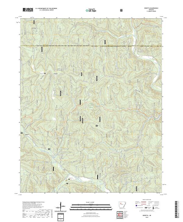 2024 Rosetta2024 Print · USGSThe Boston Mountains of northern Arkansas remain a landscape of high ridges and deep hollows in this contemporary survey. Researchers can trace the path of the Ozark Highlands Trl or locate family sites at Rosetta Cem and Union Cem.
 - 2024 Map of Ozone, 2024 Print
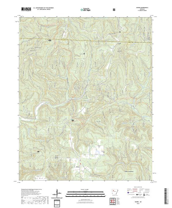 2024 Ozone2024 Print · USGSThe Boston Mountains of Arkansas appear in detail here as the modern era preserves the landscape of the Ozark National Forest. Researchers can find old family sites and mountain landmarks like Gillian Settlement, Pine Grove Cem, and Shaft Point.
 - 2024 Map of Lee Mountain, 2024 Print
 2024 Lee Mountain2024 Print · USGSCentral Arkansas hill country unfolds in the early twenty-first century, showing the enduring rural character of Pope County. Genealogists and historians can trace family locations near Booger Hollow, Augsburg, and cemeteries like Chesser Cem or Pollard Cem.
 - 2024 Map of Pettigrew, 2024 Print
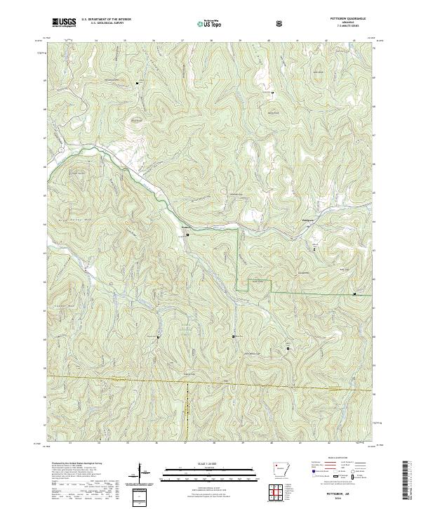 2024 Pettigrew2024 Print · USGSThe upper reaches of the White River dominate this Madison County landscape as it appeared in the early 21st century. Genealogists can trace family-named landmarks and remote burial sites like Watson Cem, Dutton Cem, and the settlement at Pettigrew.
 - 2024 Map of Boston, 2024 Print
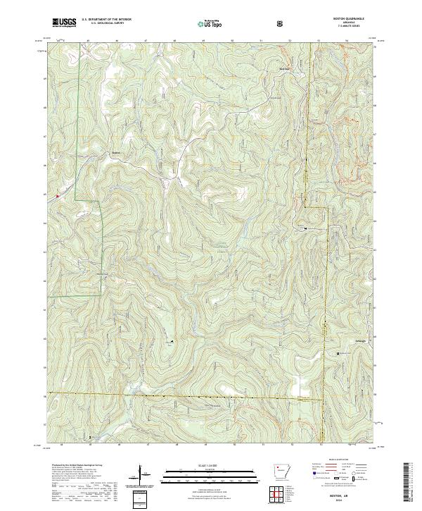 2024 Boston2024 Print · USGSThe high ridges and deep hollows of the Arkansas Ozarks are captured here in the contemporary era. Researchers and hikers can trace the paths of the Ozark Highlands Trl and locate remote burial sites like Ratford Cem and Pine Grove Cem.
Showing maps 1-25 of 40
Top cities of Johnson County
- Clarksville historical maps
- Lamar historical maps
- Coal Hill historical maps
- Knoxville historical maps
- Hartman historical maps
Frequently asked questions
- What are the different types of historical maps available for Johnson County?
- What is the oldest map of Johnson County?
- Where can I purchase historical maps of Johnson County for my home or office?
- Where can I download high-res historical maps of Johnson County?
- Are there historical topographic maps available for Johnson County?
- Is there historical aerial imagery available for Johnson County?
- Where are historical maps of Johnson County sourced from?