2000s (21st Century) Maps of Johnson County, Arkansas
Explore 100 historic maps of Johnson County from the 2000s (21st Century). These maps offer a rare glimpse into what life looked like during the 2000s — showing old roads, neighborhoods, homes, and landmarks that have changed or disappeared over time.
Whether you're researching your family's past, planning a metal detecting trip, or studying how Johnson County's landscape evolved across the 2000s, these high-resolution maps are a powerful tool for exploring the history of this region.
- Focus on a specific era: All maps on this page are from the 2000s, giving you a focused view of this time period.
- See what’s changed: Compare century-old streets, trails, and buildings to today's modern landscape using overlays and satellite layers.
- Research with precision: Use these maps for genealogy, historical research, land use analysis, or educational projects.
- View, download, or print: Maps are fully viewable online in high resolution, and can be downloaded or printed for your own records.
Start exploring Johnson County's history through authentic maps from the 2000s. This is your window into the past.
Johnson County, AR maps
(100)- 2011 Map of Delaware, 2011 Print
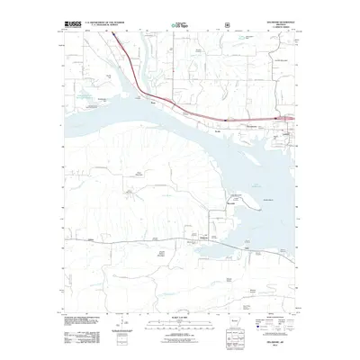 2011 Delaware2011 Print · USGSThe Arkansas River valley comes into sharp focus during this era of regional growth and resource management. Researchers can trace historic family burial sites like Hon Cemetery and Pledger Cemetery or explore the geography of the Mount Nebo Oil and Gas Field.
 - 2011 Map of Boston, 2011 Print
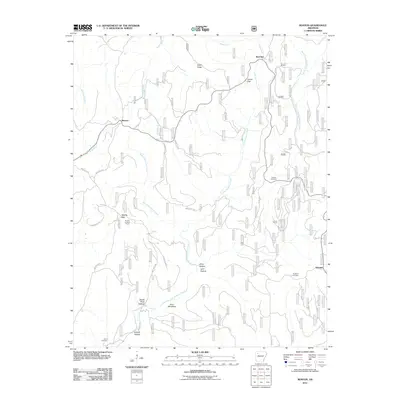 2011 Boston2011 Print · USGSThe headwaters of the Kings and White Rivers come into focus during the early twenty-first century in this part of Madison County. Local historians can trace old homestead sites near Red Star and Arbaugh or locate family plots at Ratford Cemetery and Buckhorn Cemetery.
 - 2011 Map of Treat, 2011 Print
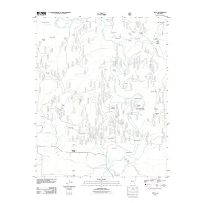 2011 Treat2011 Print · USGSThe Ozark highlands near Silex and Treat are shown here during a period of modern resource management and traditional rural life. Researchers can trace family history through the Shannon Cemetery or explore the geography of Bullfrog Valley and Wainscott Bottom.
 - 2011 Map of New Blaine, 2011 Print
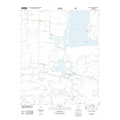 2011 New Blaine2011 Print · USGSThe Arkansas River valley at Lake Dardanelle is shown in detail during the early 2000s, featuring riverfront landings and established rural communities. Researchers can locate numerous family burial grounds including Tritt Cemetery and May Cemetery, or trace the path of Old Military Rd.
 - 2011 Map of Pettigrew, 2011 Print
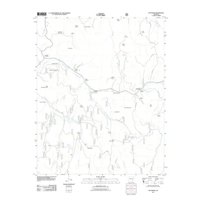 2011 Pettigrew2011 Print · USGSMadison County high country is documented here at the start of the 2010s, showing the remote communities and family lands of the Ozarks. Genealogists can trace family names through landmarks like Williams Cemetery, Kilgore Gap, and the Pettigrew Post Office.
 - 2011 Map of Harmony, 2011 Print
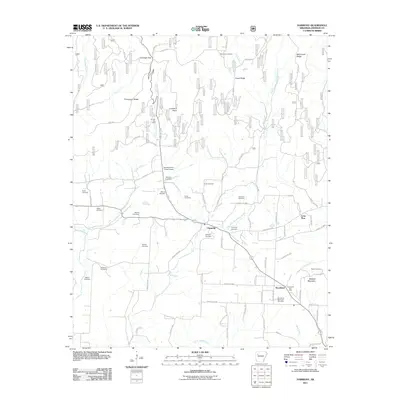 2011 Harmony2011 Print · USGSThe rural communities of Harmony and Woodland are documented here during the early twenty-first century, showing a landscape defined by small-scale aviation and energy production. Genealogists can trace family heritage through numerous burial sites including Naylor Cemetery, Zachary Cemetery, and Woodland Memorial Cemetery.
 - 2011 Map of Lee Mountain, 2011 Print
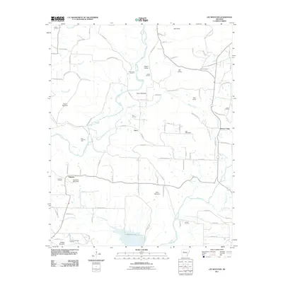 2011 Lee Mountain2011 Print · USGSPope County’s rugged hills and gas fields are captured in this early 21st-century survey of the Ozark foothills. Genealogists can trace family names through numerous sites like Booger Hollow, Piney Cemetery, and the Chesser Cemetery near Illinois Bayou.
 - 2011 Map of Coal Hill, 2011 Print
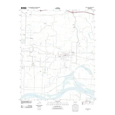 2011 Coal Hill2011 Print · USGSThe Arkansas River valley comes alive in this study of the communities surrounding Coal Hill and Alix during the early 2010s. Genealogists can locate numerous burial sites like Possum Walk Cemetery and Hess Cemetery while tracing the Alix Gas Field and local vineyard landmarks.
 - 2011 Map of Knoxville, 2011 Print
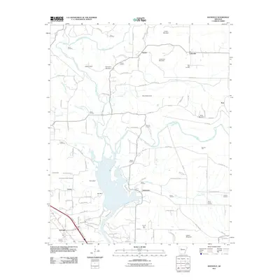 2011 Knoxville2011 Print · USGSJohnson County is shown here in the early twenty-first century, defined by the winding paths of Big Piney Creek and its many bluffs. Researchers can locate numerous historic burial sites such as Cazort Cemetery and Reynolds Cemetery, or trace the local energy landscape through the Ross Gas Field.
 - 2011 Map of Hartman, 2011 Print
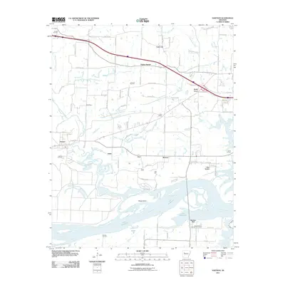 2011 Hartman2011 Print · USGSThe Arkansas River valley comes into sharp focus during the early twenty-first century, showing the intersection of river life and the energy industry. Researchers can trace family history at Hartman Cemetery or locate the Union City Gas Field and New Spadra.
 - 2011 Map of Hagarville, 2011 Print
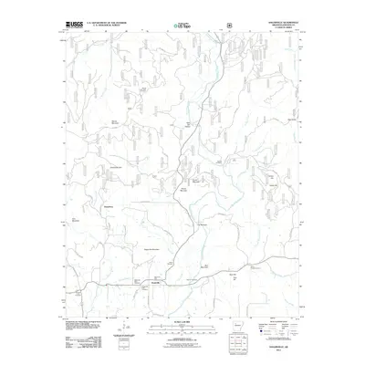 2011 Hagarville2011 Print · USGSHagarville and its surrounding mountain ridges appear here in the early twenty-first century, showcasing a landscape defined by creek valleys and high timber. Researchers can locate numerous family burial grounds including Hagarville West, Annis Chapel Cemetery, and Newton Cemetery.
 - 2011 Map of Rosetta, 2011 Print
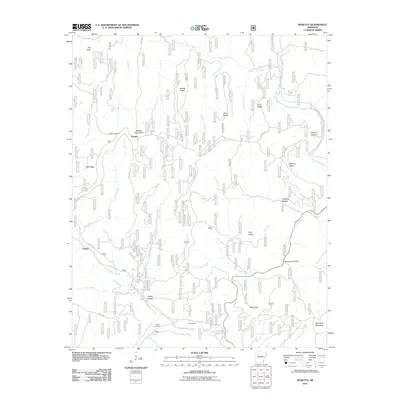 2011 Rosetta2011 Print · USGSThe Boston Mountains of Johnson County are shown here in the early twenty-first century, centered on the highland settlement of Rosetta. Local researchers can locate family burial sites at Rosetta Cemetery and Union Cemetery or trace the winding paths of Big Piney Creek and Little Piney Creek.
 - 2011 Map of Hunt, 2011 Print
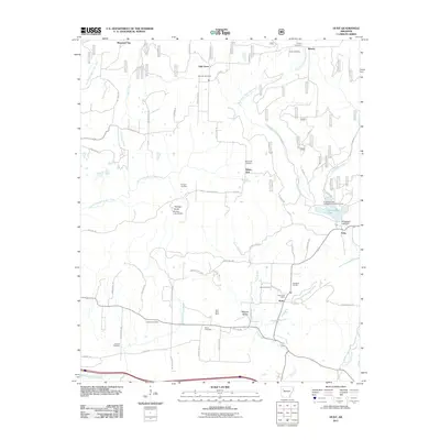 2011 Hunt2011 Print · USGSFranklin County at the start of the 2010s reveals a landscape of Ozark valleys shaped by resource extraction and rural community life. Genealogists and local historians can trace legacy sites like the Utah Strip Mine, the Hunt Post Office, and the Brendle Cemetery.
 - 2011 Map of Ludwig, 2011 Print
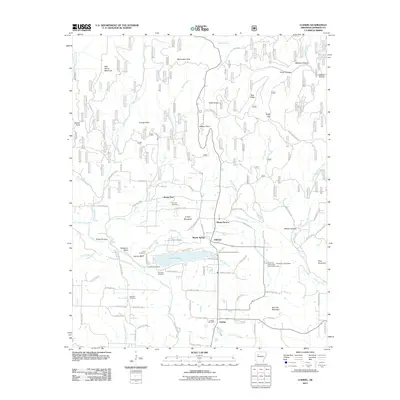 2011 Ludwig2011 Print · USGSJohnson County at the start of the decade shows a landscape where Ozark foothills meet local industry. Genealogists and historians can trace family ties at Stillwell Cemetery or Old King Cemetery, and locate the Ludwig Gas Field and Martin Spring settlements.
 - 2011 Map of Yale, 2011 Print
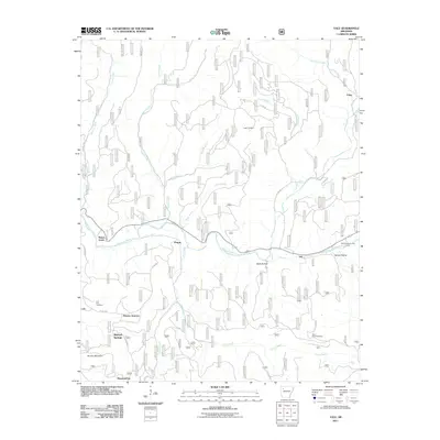 2011 Yale2011 Print · USGSFranklin County's river valleys and ridgelines are captured here in the early twenty-first century as the landscape balances forestry and recreation. Genealogists and local historians can locate remote burial grounds like Lone Pine Cemetery and small communities such as Peanut and Yale.
 - 2011 Map of Fort Douglas, 2011 Print
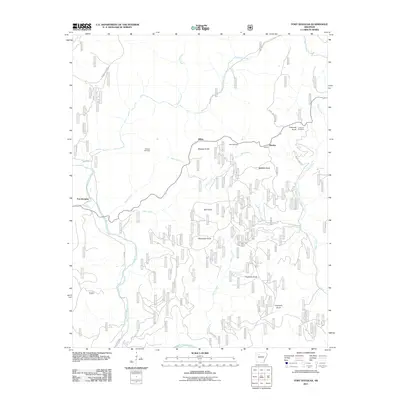 2011 Fort Douglas2011 Print · USGSPope County’s upland terrain is captured here in the early 21st century, showing a landscape of isolated knobs and deep creek valleys. Researchers can locate family burial sites at Wheeler Cemetery and Self Cemetery or trace the early paths of Big Piney Creek.
 - 2011 Map of Oark, 2011 Print
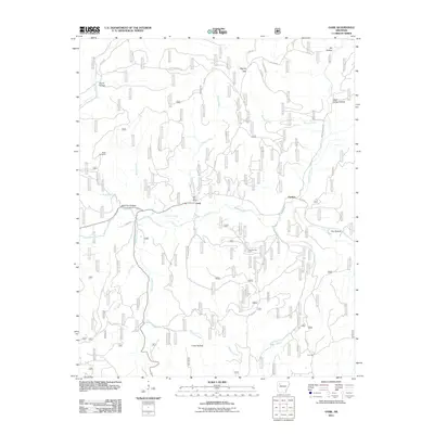 2011 Oark2011 Print · USGSThe northern Arkansas Ozarks at the start of the 2010s are defined here by river-valley settlements and forest roads. Trace local history through the Oark Post Office, Miller Cemetery, and industrial sites like the Low Gap Gas Field.
 - 2011 Map of Paris, 2011 Print
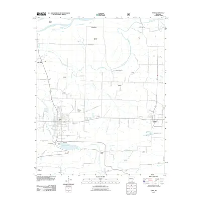 2011 Paris2011 Print · USGSLogan County at the start of the twenty-first century reveals a landscape of settled valleys and industrial gas fields. Researchers can trace family sites at Oakwood Cemetery or Saint Benedict Cemetery and locate rural landmarks like Cotton Town and Greasy Valley.
 - 2011 Map of Clarksville, 2011 Print
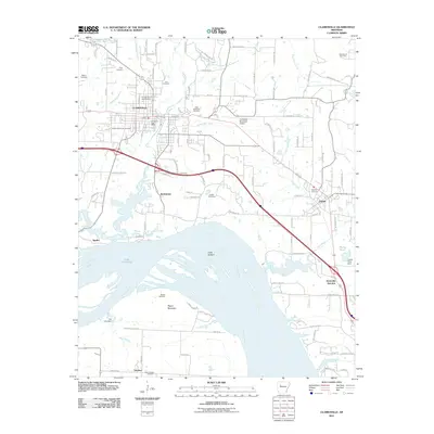 2011 Clarksville2011 Print · USGSThe Arkansas River valley comes into focus during the early twenty-first century as the region balanced its educational roots with river-borne industry. Genealogists and historians can trace the reach of Clarksville out to Jamestown and Tokalon, or locate sites like the Spadra Gas Field and Macedonia Cemetery.
 - 2011 Map of Ozone, 2011 Print
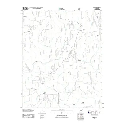 2011 Ozone2011 Print · USGSThe Arkansas Ozarks are captured here during the early twenty-first century, showcasing a landscape of high ridges and isolated settlements. Researchers can locate family landmarks like the Gillian Settlement, Hignite Cemetery, and the Devils Knob Lookout Tower.
 - 2014 Map of Boston, 2014 Print
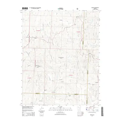 2014 Boston2014 Print · USGSThe high Ozark ridges of Madison and Newton counties are captured here in the early twenty-first century, showing a landscape of deep hollows and forest communities. Researchers can locate remote family landmarks such as Pine Grove Cem, the Boston Lookout Tower, and the headwaters of the Kings River.
 - 2014 Map of Harmony, 2014 Print
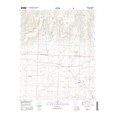 2014 Harmony2014 Print · USGSJohnson County in the early twenty-first century reveals a landscape where deep-set family history meets the modern energy industry. Researchers can trace ancestral locations through an array of burial grounds like Zachary Cem and Naylor Cem, or locate landmarks such as the Linville Gas Field.
 - 2014 Map of Oark, 2014 Print
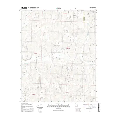 2014 Oark2014 Print · USGSThe Boston Mountains of Arkansas are shown here during the early twenty-first century, centered on the Mulberry River valley. Genealogists and local historians can locate the Miller Cem and trace rural lifelines like State Hwy 215 near Oark.
 - 2014 Map of Yale, 2014 Print
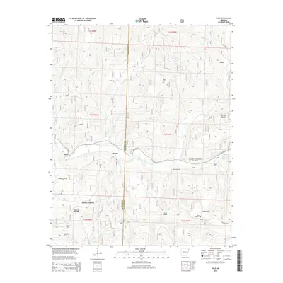 2014 Yale2014 Print · USGSThe Franklin and Johnson county line in the mid-2010s reveals a landscape of isolated river settlements and deep Ozark hollows. Researchers can locate family landmarks like Yager Cemetery and Good Hope Cemetery or trace the early paths of Beach Grove and Peanut.
 - 2014 Map of Pettigrew, 2014 Print
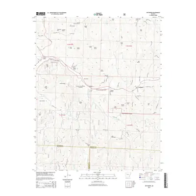 2014 Pettigrew2014 Print · USGSMadison County and the Ozark National Forest are shown in the 2010s as a landscape of deep valleys and highland cemeteries. Genealogists can trace family connections through sites like Dutton Cem, Liberty Cem, and the historic settlements of Dutton and Pettigrew.
Showing maps 1-25 of 100
Top cities of Johnson County
- Clarksville historical maps
- Lamar historical maps
- Coal Hill historical maps
- Knoxville historical maps
- Hartman historical maps
Frequently asked questions
- What are the different types of historical maps available for Johnson County?
- What is the oldest map of Johnson County?
- Where can I purchase historical maps of Johnson County for my home or office?
- Where can I download high-res historical maps of Johnson County?
- Are there historical topographic maps available for Johnson County?
- Is there historical aerial imagery available for Johnson County?
- Where are historical maps of Johnson County sourced from?