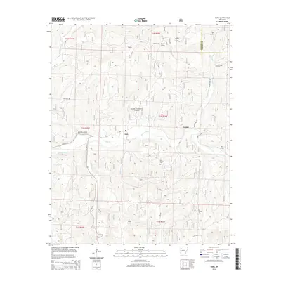
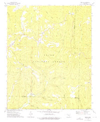
2014 Map of Oark
USGS Topo · Published 2014About this map
Oark and Catalpa sit deep in the Boston Mountains, where the upper reaches of the Mulberry River cut through the Ozark National Forest. The landscape is defined by its dramatic relief, with numerous steep-walled drainages such as Devil Jump Hollow and Wolf Pen Hollow feeding into the main river valley. A notable center for local genealogy and history is the Miller Cem, located on a ridge overlooking the Little Mulberry Cr. Industrial activity is marked by the Low Gap Gas Field, which highlights the extraction of natural resources from this remote mountain terrain. The network of forest roads and state routes, including State Hwy 103 and State Hwy 215, follows the natural contours of the land, connecting these isolated settlements along the river flats and ridges like McConnell Ridge.
Find a feature on this map
45 named features on this map. Tap any name to fly to it.
Don’t see what you’re looking for? This feature index may not catch every label — zoom into the map to look around manually.
Map Details
Editions of this 2014 Oark Map
This is the sole edition of this map. No revisions or reprints were ever made.
Other maps of this area

1889 · Ozone
USGS Topo · 1:62,500

1906 · Batson
USGS Topo · 1:62,500

1934 · Ozone
USGS Topo · 1:62,500

1936 · Ozone
USGS Topo · 1:62,500

1956 · Russellville
USGS Topo · 1:250,000
1963 · Harmony
USGS Topo · 1:24,000
1963 · Hunt
USGS Topo · 1:24,000

1964 · Russellville
USGS Topo · 1:250,000
1967 · Fallsville
USGS Topo · 1:24,000
1973 · Boston
USGS Topo · 1:24,000