2020s Maps of Lee County, Arkansas
Explore 36 historic maps of Lee County from the 2020s. These maps offer a rare glimpse into what life looked like during the 2020s — showing old roads, neighborhoods, homes, and landmarks that have changed or disappeared over time.
Whether you're researching your family's past, planning a metal detecting trip, or studying how Lee County's landscape evolved across the 2020s, these high-resolution maps are a powerful tool for exploring the history of this region.
- Focus on a specific era: All maps on this page are from the 2020s, giving you a focused view of this time period.
- See what’s changed: Compare century-old streets, trails, and buildings to today's modern landscape using overlays and satellite layers.
- Research with precision: Use these maps for genealogy, historical research, land use analysis, or educational projects.
- View, download, or print: Maps are fully viewable online in high resolution, and can be downloaded or printed for your own records.
Start exploring Lee County's history through authentic maps from the 2020s. This is your window into the past.
Lee County, AR maps
(36)- 2020 Map of Dansby, 2020 Print
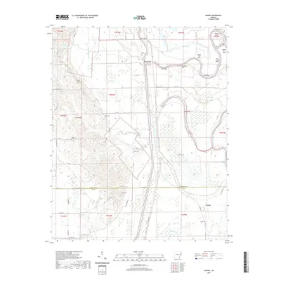 2020 Dansby2020 Print · USGSSaint Francis County and Lee County are captured here in the 2020s, showing a landscape defined by the winding Saint Francis River. Genealogists can trace family sites at Dansby Cem, Mount Zion Cem, and Shady Grove Cem.
 - 2020 Map of Marianna, 2020 Print
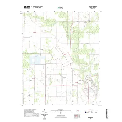 2020 Marianna2020 Print · USGSThe Arkansas Delta comes into focus in this contemporary survey of the area surrounding the Lee County seat. Genealogists and historians can trace local landmarks like the Lee County Courthouse and find family-named burial sites such as Haynie Cemetery and Mound City Cemetery.
 - 2020 Map of Palestine, 2020 Print
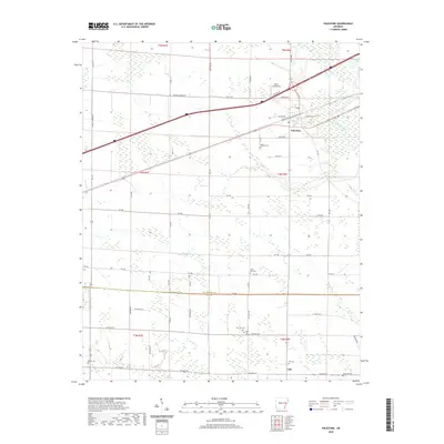 2020 Palestine2020 Print · USGSCovers Lee County, including Palestine, New Salem, and other nearby areas
 - 2020 Map of Aubrey, 2020 Print
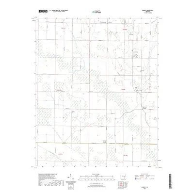 2020 Aubrey2020 Print · USGSLee County, Arkansas, at the dawn of the 2020s remains a region of quiet rural settlements and established family farms. Local historians can trace cemetery locations like Holland Cem and Spring Creek Cem or explore the road networks of Aubrey and Turkey Scratch.
 - 2020 Map of Moro, 2020 Print
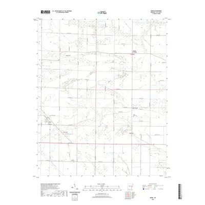 2020 Moro2020 Print · USGSLee County's agricultural heartland is documented here in the early twenty-first century, showing the persistent rural layout of the Arkansas Delta. Genealogists and local historians can locate family landmarks such as Moro Cem, Oak Forest, and Hawkins Chapel Cem.
 - 2020 Map of Rondo, 2020 Print
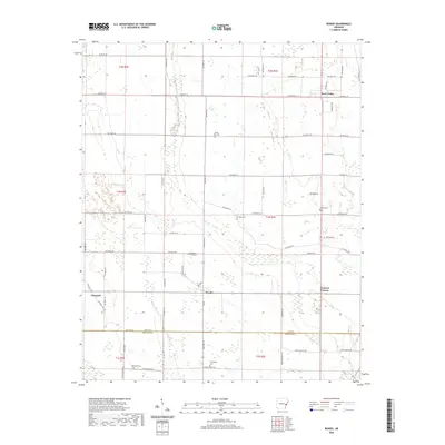 2020 Rondo2020 Print · USGSThe rural agricultural landscapes of Lee and Phillips Counties are captured here in the early 2000s, centered on the community of Rondo. Local historians can trace family locations through several named burial grounds, including Mount Zion Cem and Possum Trot Cem.
 - 2020 Map of Haynes, 2020 Print
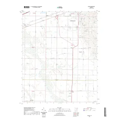 2020 Haynes2020 Print · USGSThe rural Arkansas Delta near the St. Francis and Lee County line is captured here as it appeared in the modern era. Genealogists and local researchers can trace family landmarks like Hodge Cem and Mount Vernon Cem or follow the path of the L'Anguille River.
 - 2020 Map of Garrett Grove, 2020 Print
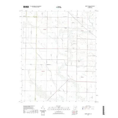 2020 Garrett Grove2020 Print · USGSEastern Arkansas at the turn of the decade is captured in this survey of the Lee County countryside. Genealogists and researchers can trace local family landmarks and burial sites like Saint Paul Cem, Garrett Cem, and the community at Garrett Grove.
 - 2020 Map of Monroe, 2020 Print
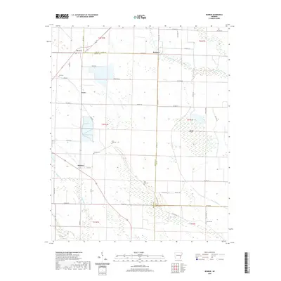 2020 Monroe2020 Print · USGSThe rural landscape of eastern Arkansas is documented here in the early twenty-first century as it spans the borders of Lee, Monroe, and Phillips counties. Genealogists can locate family sites such as Whitehall Cem or Bonds Cem near the settlements of Monroe and Blackton.
 - 2020 Map of Soudan, 2020 Print
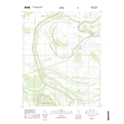 2020 Soudan2020 Print · USGSThe river bottoms of Lee County come to life in this survey of the Saint Francis and L'Anguille basins. Local historians can trace the landscape from the heights of Crowley Ridge to the rural community of Soudan and its Soudan Cem.
 - 2020 Map of Wheatley, 2020 Print
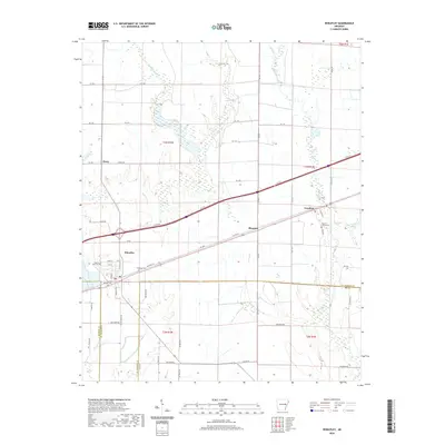 2020 Wheatley2020 Print · USGSSt. Francis County is surveyed here in the modern era, showing the enduring agricultural layout of the Arkansas Delta. Researchers can trace family history at the Goodwin Cemeteries or locate old property lines near Wheatley and Blossom.
 - 2020 Map of Mud Lake, 2020 Print
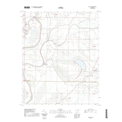 2020 Mud Lake2020 Print · USGSThe river-driven landscape of eastern Arkansas is captured here in recent years, showing the intersection of St. Francis and Lee Counties. Genealogists and historians can locate community landmarks like Locust Grove Cem, Rawlinson, and Bledsoe.
 - 2020 Map of Council, 2020 Print
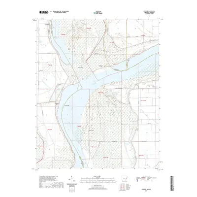 2020 Council2020 Print · USGSThe Mississippi River Delta comes alive in this contemporary survey of the borderlands between Arkansas and Mississippi. Researchers can trace the legacy of the river's movement through Council Island, locate family sites at Peters Cem, and explore the old settlement at Commerce.
 - 2020 Map of La Grange, 2020 Print
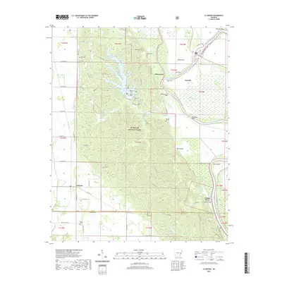 2020 La Grange2020 Print · USGSThe eastern Arkansas bottomlands and Crowley's Ridge meet here in the 2020s, showing a landscape defined by the Saint Francis River and the St. Francis National Forest. Researchers can locate several rural cemeteries including Morning Star Cem and Honor Hill Cem or trace settlements like Jeffersonville.
 - 2020 Map of Hughes, 2020 Print
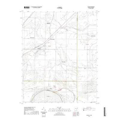 2020 Hughes2020 Print · USGSThe Arkansas delta comes into focus on the borders of St. Francis and Lee Counties in the early twenty-first century. Researchers can trace family history and land use near Saint Marys Cem, Sycamore Bend Farm, and the residential blocks of Hughes.
 - 2020 Map of Brickeys, 2020 Print
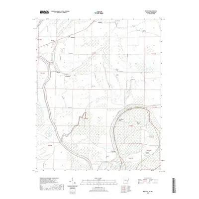 2020 Brickeys2020 Print · USGSThe Arkansas delta near the Mississippi border comes into focus in this study of Lee County's river-driven geography. Genealogists and researchers can trace local family landmarks through Gassett Cem, Greater Jerusalem Cem, and the riverfront at Whitehall.
 - 2020 Map of Tunica, 2020 Print
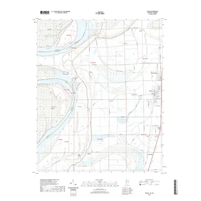 2020 Tunica2020 Print · USGSThe Mississippi Delta's rich alluvial landscape is shown here at the start of the 2020s, centered on the county seat and the river's winding path. Researchers can locate family sites at Oakwood Cem or trace the early riverfront history of Austin and Evansville.
 - 2021 Map of Stubbs Island, 2021 Print
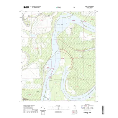 2021 Stubbs Island2021 Print · USGSThe Delta landscape where the Arkansas and Mississippi borders meet is revealed here in its modern riverine state. Researchers can trace the shifting course of the Mississippi River through features like Stubbs Island, Kate Adams Chute, and Bordeaux Point.
 - 2024 Map of Haynes, 2024 Print
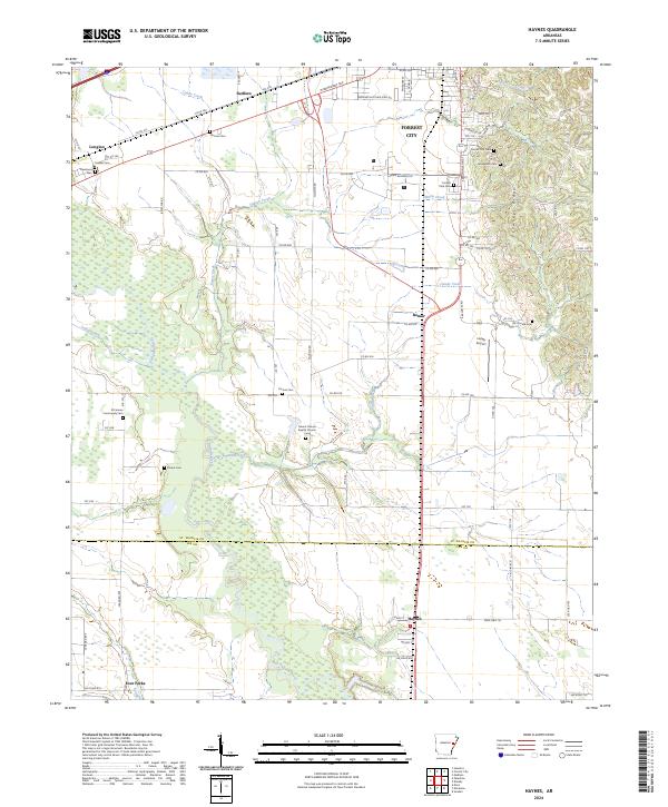 2024 Haynes2024 Print · USGSThe border of St. Francis and Lee counties in eastern Arkansas is shown here in the 2020s, dominated by the rise of Crowley's Ridge. Researchers can find numerous small burial sites like Yocona Cemetery and Elcana Cemetery or trace the L'Anguille River and Candy Creek through the Delta landscape.
 - 2024 Map of Aubrey, 2024 Print
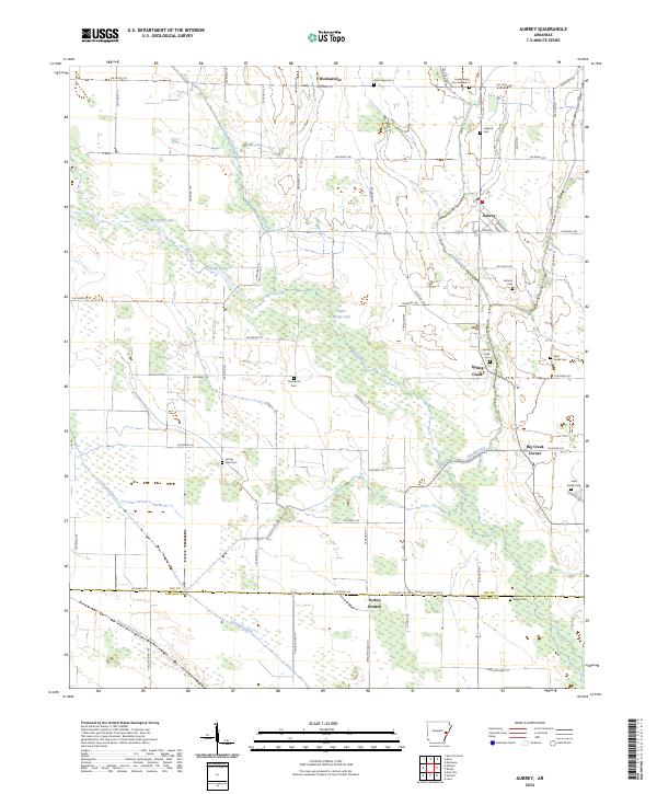 2024 Aubrey2024 Print · USGSThe Arkansas Delta comes into focus in this recent survey of Lee and Phillips counties. Researchers can trace the layout of Aubrey and Turkey Scratch, while locating family history at Spring Creek Cem and Saint Marks Cem.
 - 2024 Map of Soudan, 2024 Print
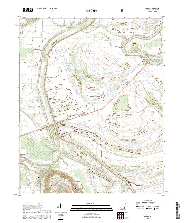 2024 Soudan2024 Print · USGSEastern Arkansas riverlands and the elevations of Crowleys Ridge are surveyed here during the 2020s. Local researchers can locate the John Patterson Grave, explore the quiet settlement of Soudan, and trace the winding course of the Saint Francis River.
 - 2024 Map of Dansby, 2024 Print
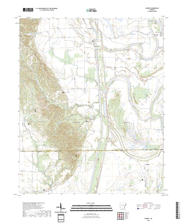 2024 Dansby2024 Print · USGSSt. Francis and Lee Counties are shown here during the early twenty-first century, where the meandering river and the rise of the ridge meet. Genealogists can locate numerous rural burial sites including Dansby Cem, Shady Grove Cem, and Casteel Cem.
 - 2024 Map of Marianna, 2024 Print
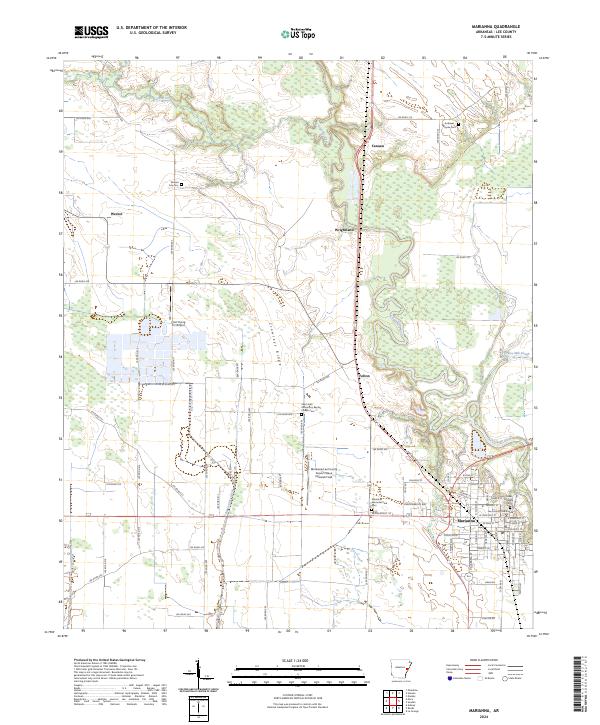 2024 Marianna2024 Print · USGSMarianna and the surrounding Lee County farmlands are seen here in the mid-2020s, showing the intersection of Delta agriculture and the distinct rise of Crowleys Ridge. Researchers can find several local burial grounds, including Haynie Cem and Mound City Cem, alongside the civic center at the Lee County Courthouse.
 - 2024 Map of Palestine, 2024 Print
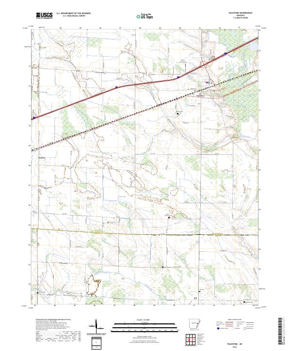 2024 Palestine2024 Print · USGSPalestine and the surrounding Delta farm country are captured here in the early twenty-first century as the region continues its long agricultural tradition. Genealogists and local historians can locate numerous small burial sites like Union Hill Cem and Martin Cem, or trace the paths of Larkin Creek and the L'Anguille River.
 - 2024 Map of Monroe, 2024 Print
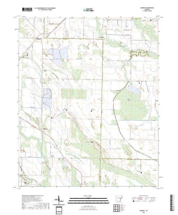 2024 Monroe2024 Print · USGSMonroe and Blackton are captured here in the contemporary Arkansas Delta, showing a landscape defined by expansive wetlands and rural family roots. Genealogists and historians can locate several local burial grounds like Springfield Cem and Blackton Cem, or trace the timbered Warrior Bottom.
Showing maps 1-25 of 36
Top cities of Lee County
- Marianna historical maps
- Moro historical maps
- Rondo historical maps
- Haynes historical maps
- Aubrey historical maps
- LaGrange historical maps
Frequently asked questions
- What are the different types of historical maps available for Lee County?
- What is the oldest map of Lee County?
- Where can I purchase historical maps of Lee County for my home or office?
- Where can I download high-res historical maps of Lee County?
- Are there historical topographic maps available for Lee County?
- Is there historical aerial imagery available for Lee County?
- Where are historical maps of Lee County sourced from?