2000s (21st Century) Maps of Lee County, Arkansas
Explore 91 historic maps of Lee County from the 2000s (21st Century). These maps offer a rare glimpse into what life looked like during the 2000s — showing old roads, neighborhoods, homes, and landmarks that have changed or disappeared over time.
Whether you're researching your family's past, planning a metal detecting trip, or studying how Lee County's landscape evolved across the 2000s, these high-resolution maps are a powerful tool for exploring the history of this region.
- Focus on a specific era: All maps on this page are from the 2000s, giving you a focused view of this time period.
- See what’s changed: Compare century-old streets, trails, and buildings to today's modern landscape using overlays and satellite layers.
- Research with precision: Use these maps for genealogy, historical research, land use analysis, or educational projects.
- View, download, or print: Maps are fully viewable online in high resolution, and can be downloaded or printed for your own records.
Start exploring Lee County's history through authentic maps from the 2000s. This is your window into the past.
Lee County, AR maps
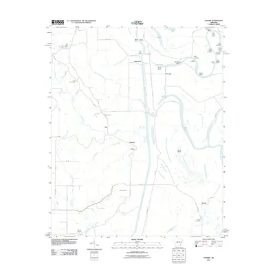
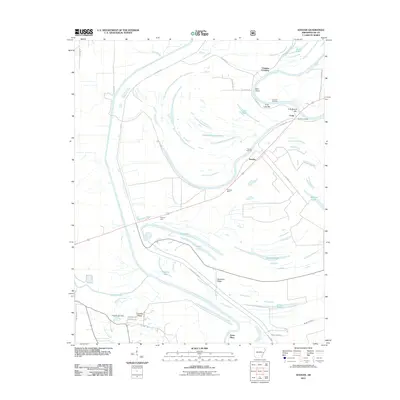
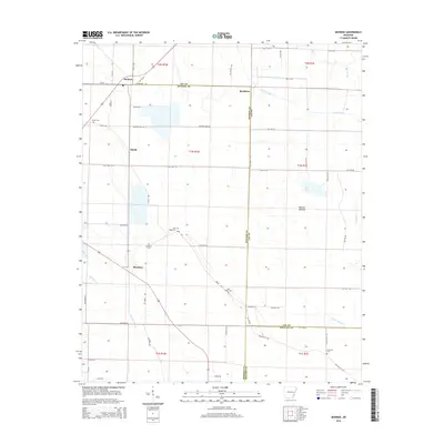
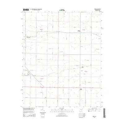
(91)- 2011 Map of Moro, 2011 Print
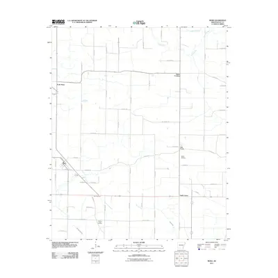 2011 Moro2011 Print · USGSCovers Lee County, including Moro, Smith Corner, and other nearby areas
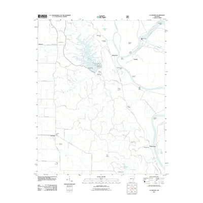
 - 2011 Map of Marianna, 2011 Print
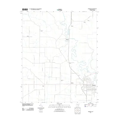 2011 Marianna2011 Print · USGSCovers Lee County, including Marianna, Canaan, and other nearby areas
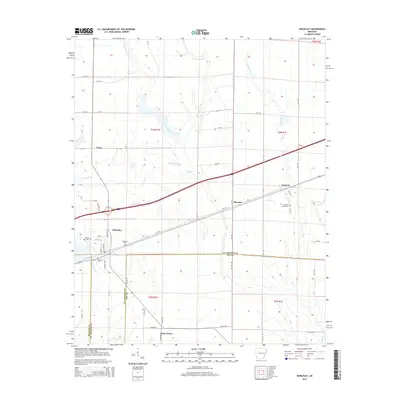
 - 2011 Map of Wheatley, 2011 Print
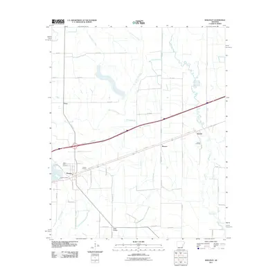 2011 Wheatley2011 Print · USGSCovers Lee County, including Wheatley, Nash Corner, and other nearby areas
 - 2011 Map of Monroe, 2011 Print
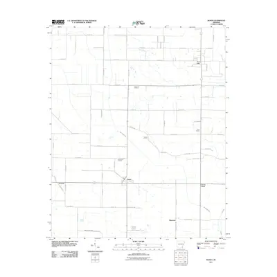
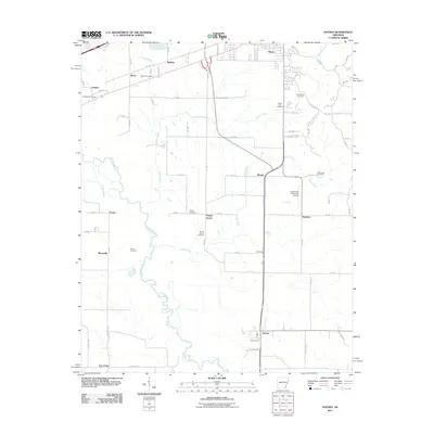
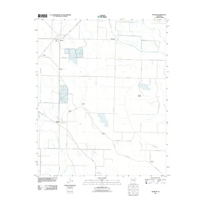 2011 Monroe2011 Print · USGSCovers Lee County, including Buckhorn, Blackton, and other nearby areas
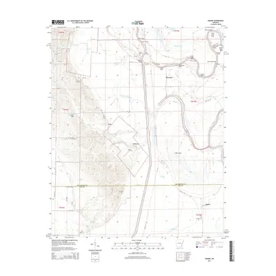
 - 2011 Map of Dansby, 2011 Print
 2011 Dansby2011 Print · USGSCovers Lee County, including Tuni, Riverside, and other nearby areas
 - 2011 Map of Hughes, 2011 Print
 2011 Hughes2011 Print · USGSCovers Lee County, including Hughes, North Hughes, and other nearby areas
 - 2011 Map of Tunica, 2011 Print
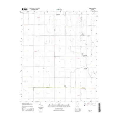
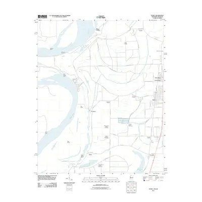 2011 Tunica2011 Print · USGSCovers Lee County, including Tunica, Austin, and other nearby areas
 - 2011 Map of Brickeys, 2011 Print
 2011 Brickeys2011 Print · USGSCovers Lee County, including Raggio, Whitehall, and other nearby areas
 - 2011 Map of Garrett Grove, 2011 Print
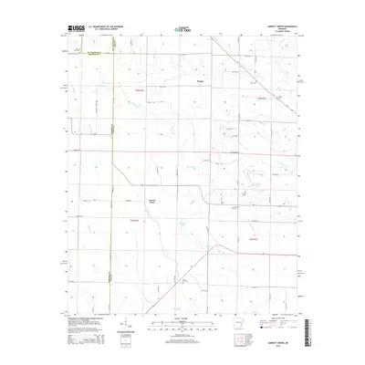
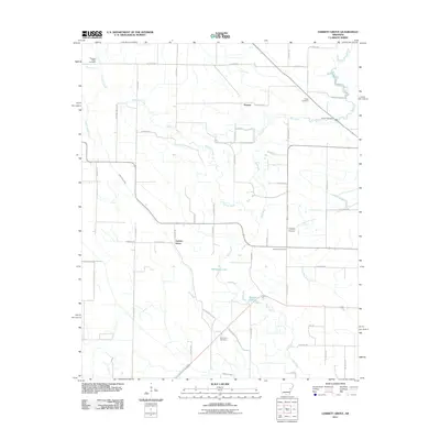 2011 Garrett Grove2011 Print · USGSCovers Lee County, including Garrett Grove, Hopper, and other nearby areas
 - 2011 Map of Aubrey, 2011 Print
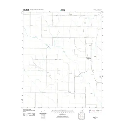 2011 Aubrey2011 Print · USGSCovers Lee County, including Aubrey, New Hope, and other nearby areas
 - 2011 Map of La Grange, 2011 Print
 2011 La Grange2011 Print · USGSCovers Lee County, including La Grange, LaGrange, and other nearby areas
 - 2011 Map of Rondo, 2011 Print
 2011 Rondo2011 Print · USGSCovers Lee County, including Rondo, Cypress Corner, and other nearby areas
 - 2011 Map of Soudan, 2011 Print
 2011 Soudan2011 Print · USGSCovers Lee County, including Marianna, Cody, and other nearby areas
 - 2011 Map of Palestine, 2011 Print
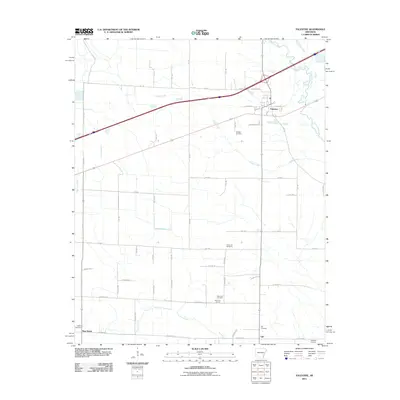 2011 Palestine2011 Print · USGSCovers Lee County, including Palestine, New Salem, and other nearby areas
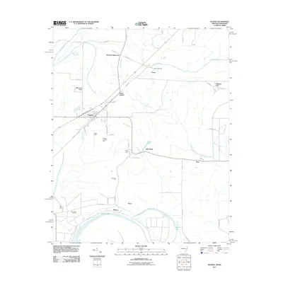
 - 2011 Map of Haynes, 2011 Print
 2011 Haynes2011 Print · USGSCovers Lee County, including Forrest City, Haynes, and other nearby areas
 - 2011 Map of Mud Lake, 2011 Print
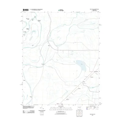 2011 Mud Lake2011 Print · USGSCovers Lee County, including Rawlinson, Shannondale, and other nearby areas
 - 2011 Map of Stubbs Island, 2011 Print
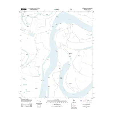 2011 Stubbs Island2011 Print · USGSCovers Lee County, including Saint Francis Island Landing, Harbert Landing, and other nearby areas
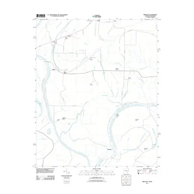
 - 2011 Map of Council, 2011 Print
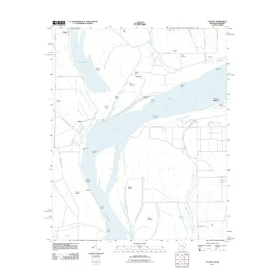 2011 Council2011 Print · USGSCovers Lee County, including Council, Peters, and other nearby areas
 - 2012 Map of Tunica, 2012 Print
 2012 Tunica2012 Print · USGSCovers Lee County, including Tunica, Austin, and other nearby areas
 - 2014 Map of Garrett Grove, 2014 Print
 2014 Garrett Grove2014 Print · USGSCovers Lee County, including Garrett Grove, Hopper, and other nearby areas
 - 2014 Map of Monroe, 2014 Print
 2014 Monroe2014 Print · USGSCovers Lee County, including Buckhorn, Blackton, and other nearby areas
 - 2014 Map of Wheatley, 2014 Print
 2014 Wheatley2014 Print · USGSCovers Lee County, including Wheatley, Nash Corner, and other nearby areas
 - 2014 Map of Dansby, 2014 Print
 2014 Dansby2014 Print · USGSCovers Lee County, including Tuni, Riverside, and other nearby areas
 - 2014 Map of Aubrey, 2014 Print
 2014 Aubrey2014 Print · USGSCovers Lee County, including Aubrey, New Hope, and other nearby areas
 - 2014 Map of Moro, 2014 Print
 2014 Moro2014 Print · USGSCovers Lee County, including Moro, Smith Corner, and other nearby areas
Showing maps 1-25 of 91
Top cities of Lee County
- Marianna historical maps
- Moro historical maps
- Rondo historical maps
- Haynes historical maps
- Aubrey historical maps
- LaGrange historical maps
Frequently asked questions
- What are the different types of historical maps available for Lee County?
- What is the oldest map of Lee County?
- Where can I purchase historical maps of Lee County for my home or office?
- Where can I download high-res historical maps of Lee County?
- Are there historical topographic maps available for Lee County?
- Is there historical aerial imagery available for Lee County?
- Where are historical maps of Lee County sourced from?