Old Maps of Rosa, Arkansas for Metal Detecting
Plan your next treasure hunt with 12 historic maps of Rosa. Find old homesites, ghost towns, trails, and gathering spots that may be lost to time — perfect for identifying promising metal detecting locations.
- Locate forgotten sites: Uncover places like long-lost settlements, abandoned rail lines, or gathering spots.
- Plan better hunts: Use map overlays combined with LiDAR or satellite views to narrow in on historically rich areas.
- Made for detectorists: Thousands of hobbyists use these maps to discover relics, coins, and hidden history.
Use these historic maps to boost your research and find new opportunities beneath the surface of Rosa.
Rosa, AR maps
(12)- 1939 Map of Blytheville, 1944 Print
 1939 Blytheville1944 Print · USGSMississippi County at the end of the Depression reveals a landscape of engineered drainage and thriving rail junctions. Genealogists and local historians can trace family locations near Blytheville, Cards Chapel & Cem, and the river landing at Ashport.
 - 1955 Map of Blytheville
 1955 Blytheville1955 Print · USGSMid-century Mississippi County, Arkansas, is shown here as a landscape of reclaimed delta land and bustling rail towns. Genealogists can trace family names through rural landmarks like Number Nine, Promised Land, and the O'Donald Bend Community.
 - 1956 Map of Blytheville, 1964 Print
 1956 Blytheville1964 Print · USGSWest Tennessee and the Arkansas Delta come alive in this mid-century survey of the river-and-rail corridor connecting Memphis to Jackson. Genealogists and historians can trace the rail lines of the Louisville and Nashville RR and locate landmarks like Western State Hospital or Fort Pillow State Prison Farm.2 unique versions available
 - 1959 Map of Blytheville
 1959 Blytheville1959 Print · USGSWest Tennessee and Northeast Arkansas meet along the river in the late fifties, during a period of steady industrial and agricultural growth. Genealogists can trace the rail corridors of the Illinois Central through Jackson or explore landmarks like Shiloh National Military Park and Fort Pillow State Prison.
 - 1972 Map of Rosa, 1975 Print
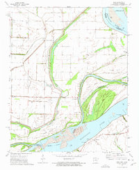 1972 Rosa1975 Print · USGSAlong the Mississippi River in the early seventies, the border between Arkansas and Tennessee was a land of intricate bayous and river landings. Genealogists and local historians can trace family burial sites like Rosa Cem or locate old river access points at Ashport Landing and Daniels Point Landing.2 unique versions available
 - 1976 Map of Blytheville
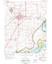 1976 Blytheville1976 Print · USGSBlytheville and the Mississippi River Delta are captured here in the mid-seventies, showing a landscape defined by military aviation and river commerce. Genealogists and researchers can locate family sites at Memorial Park Cem, trace the vanished streets of Yarbro, or explore the extensive Blytheville Air Force Base.
 - 1986 Map of Blytheville
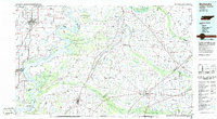 1986 Blytheville1986 Print · USGSThe Arkansas-Tennessee borderlands appear here in the mid-eighties, centered on the mighty Mississippi River and its shifting islands. Trace the footprints of Blytheville Air Force Base, old river towns like Golddust, and the extensive grounds of the Fort Pillow State Prison Farm.2 unique versions available
 - 2011 Map of Rosa, 2011 Print
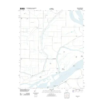 2011 Rosa2011 Print · USGSThe Mississippi River floodplain comes alive in this 2011 survey of the Arkansas-Tennessee border. Genealogists and local historians can trace family-named sites like Mann Cemetery and river access points including Sadie Lee Landing and Ashport.
 - 2014 Map of Rosa, 2014 Print
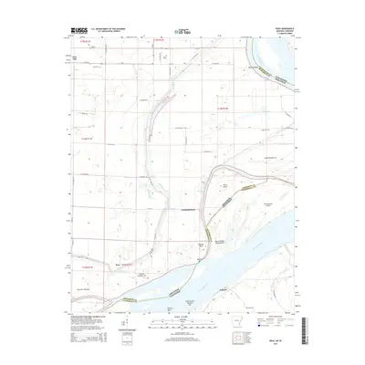 2014 Rosa2014 Print · USGSThe river border between Arkansas and Tennessee is captured here as it appeared in the early 2010s. Genealogists and local historians can trace family locations near Rosa and Ashport, or locate burial sites at Rosa Cem and Hatchie Cem.
 - 2017 Map of Rosa, 2017 Print
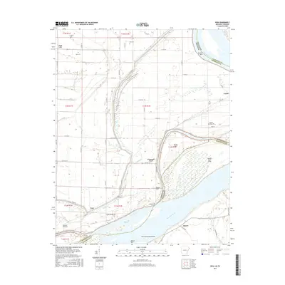 2017 Rosa2017 Print · USGSThe riverfronts of Arkansas and Tennessee meet along the Mississippi in the late 2010s, showing a landscape shaped by levees and silty bends. Researchers can locate river-town roots in Rosa and Ashport or trace family plots at Rosa Cem and Mann Cem.
 - 2020 Map of Rosa, 2020 Print
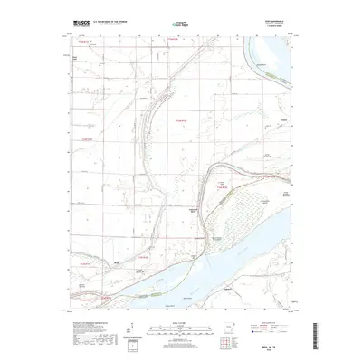 2020 Rosa2020 Print · USGSThe Mississippi River border between Tennessee and Arkansas is captured here in recent years, revealing a landscape shaped by shifting water and agricultural levees. Researchers can locate family burial sites at Rosa Cem and Steger Cem or trace the river's edge past Ashport Bar and Tomato.
 - 2024 Map of Rosa, 2024 Print
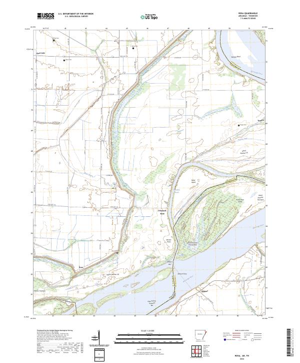 2024 Rosa2024 Print · USGSThe Mississippi River borderlands between Arkansas and Tennessee are captured here in a landscape of levees and river bends. Genealogists and historians can trace rural burial sites like Mann Cem and river crossings such as Ashport Ferry.
End of results
Showing maps 1-12 of 12
Top cities near Rosa
- Blytheville historical maps
- Covington historical maps
- Osceola historical maps
- Gosnell historical maps
- Luxora historical maps
- Wilson historical maps
See more
Frequently asked questions
- What are the different types of historical maps available for Rosa?
- What is the oldest map of Rosa?
- Where can I purchase historical maps of Rosa for my home or office?
- Where can I download high-res historical maps of Rosa?
- Are there historical topographic maps available for Rosa?
- Is there historical aerial imagery available for Rosa?
- Where are historical maps of Rosa sourced from?