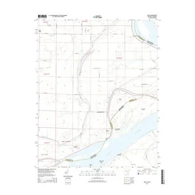
2014 Map of Rosa
USGS Topo · Published 2014About this map
Rosa and Ashport sit along the winding corridor of the Mississippi River where the border between Arkansas and Tennessee shifts across the water. This 2014 landscape is defined by the complex hydrography of the alluvial plain, where secondary water bodies like Mill Bayou, Long Lake, and Jones Slough intersect with the primary river channel. The map records a significant concentration of family and community burial grounds, including the Rosa Cem, Steger Cem, and Mann Cem, which provide essential points of reference for genealogists tracking families in Mississippi County and Lauderdale County. Extensive levee systems, such as Levee Rd, trace the low-lying terrain, protecting the agricultural tracts that surround numerous river features like Canadian Reach and Barfield Bend. The map also details the many numbered islands and towheads, such as Island Number 25 and Fletcher Towhead, that have historically complicated navigation and boundary lines in this reach of the river.
Find a feature on this map
61 named features on this map. Tap any name to fly to it.
Don’t see what you’re looking for? This feature index may not catch every label — zoom into the map to look around manually.
Map Details
Editions of this 2014 Rosa Map
This is the sole edition of this map. No revisions or reprints were ever made.
Other maps of this area

1939 · Hales Point
USGS Topo · 1:62,500

1939 · Blytheville
USGS Topo · 1:62,500

1952 · Hales Point
USGS Topo · 1:62,500

1955 · Blytheville
USGS Topo · 1:62,500

1956 · Blytheville
USGS Topo · 1:250,000

1959 · Blytheville
USGS Topo · 1:250,000

1961 · Hales Point
USGS Topo · 1:62,500

1961 · Rialto
USGS Topo · 1:62,500

1962 · Rialto
USGS Topo · 1:62,500

1962 · Hales Point
USGS Topo · 1:62,500