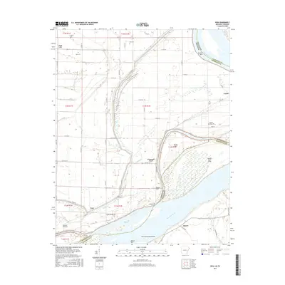
2017 Map of Rosa
USGS Topo · Published 2017About this map
Mississippi River bends define the shifting border between Arkansas and Tennessee in this 2017 survey of the river's alluvial plain. The landscape is a complex network of wetlands and agricultural drainage, where features like Bear Bayou, West Bayou, and Jones Slough snake through the lowlands. Settlements like Rosa and Ashport are situated near the massive river channel, protected by an extensive levee system indicated by Levee Rd.
Find a feature on this map
66 named features on this map. Tap any name to fly to it.
Don’t see what you’re looking for? This feature index may not catch every label — zoom into the map to look around manually.
Map Details
Editions of this 2017 Rosa Map
This is the sole edition of this map. No revisions or reprints were ever made.
Other maps of this area

1939 · Hales Point
USGS Topo · 1:62,500

1939 · Blytheville
USGS Topo · 1:62,500

1952 · Hales Point
USGS Topo · 1:62,500

1955 · Blytheville
USGS Topo · 1:62,500

1956 · Blytheville
USGS Topo · 1:250,000

1959 · Blytheville
USGS Topo · 1:250,000

1961 · Hales Point
USGS Topo · 1:62,500

1961 · Rialto
USGS Topo · 1:62,500

1962 · Rialto
USGS Topo · 1:62,500

1962 · Hales Point
USGS Topo · 1:62,500