Old Maps of Mississippi County, Arkansas
Explore 69 old maps of Mississippi County, spanning from 1931 to today. These high-resolution historic maps reveal how streets, neighborhoods, landmarks, and natural features evolved over time — perfect for genealogy, metal detecting, research, and local history exploration.
What you can do with these maps:
- See how Mississippi County changed over time: Compare historical maps to modern-day views to trace roads, homesites, rail lines & more.
- View detailed metadata: Each map includes creators, publishers, year, scale, and archive source.
- Overlay maps with satellite & LiDAR: Visualize the past alongside modern tools to explore terrain & human change.
- Trusted historical sources: Maps sourced from the USGS, Library of Congress, and other archives.
- Access maps your way: View online, download high-res files, or order prints for personal or research use.
Start exploring old maps of Mississippi County to uncover forgotten places, hidden landmarks, and the deep history beneath your feet.
Mississippi County, AR maps
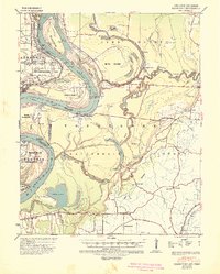
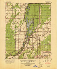
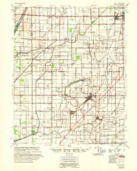
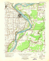
(69)- 1931 Map of Jericho
 1931 Jericho1931 Print · USGSCovers Mississippi County, including Memphis, Marion, and other nearby areas
 - 1939 Map of Jericho, 1941 Print
 1939 Jericho1941 Print · USGSCovers Mississippi County, including Memphis, Marion, and other nearby areas
 - 1939 Map of Hales Point, 1943 Print
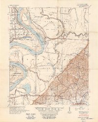
 1939 Hales Point1943 Print · USGSCovers Mississippi County, including Ripley, Hales Point, and other nearby areas
 - 1939 Map of Caruthersville, 1943 Print
 1939 Caruthersville1943 Print · USGSCovers Mississippi County, including Caruthersville, Hayti, and other nearby areas2 unique versions available
 - 1939 Map of Blytheville, 1944 Print
 1939 Blytheville1944 Print · USGSCovers Mississippi County, including Blytheville, Gosnell, and other nearby areas
 - 1939 Map of Evadale, 1954 Print
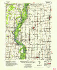
 1939 Evadale1954 Print · USGSCovers Mississippi County, including Osceola, Wilson, and other nearby areas
 - 1940 Map of Deckerville, 1942 Print
 1940 Deckerville1942 Print · USGSCovers Mississippi County, including Earle, Tyronza, and other nearby areas
 - 1940 Map of Hayti, 1943 Print
 1940 Hayti1943 Print · USGSCovers Mississippi County, including Hayti, Steele, and other nearby areas2 unique versions available
 - 1941 Map of Leachville, 1943 Print
 1941 Leachville1943 Print · USGSCovers Mississippi County, including Leachville, Lake City, and other nearby areas
 - 1941 Map of Manila, 1945 Print
 1941 Manila1945 Print · USGSCovers Mississippi County, including Manila, Leachville, and other nearby areas
 - 1941 Map of Marked Tree, 1946 Print
 1941 Marked Tree1946 Print · USGSCovers Mississippi County, including Trumann, Marked Tree, and other nearby areas2 unique versions available
 - 1951 Map of Caruthersville, 1968 Print
 1951 Caruthersville1968 Print · USGSCovers Mississippi County, including Caruthersville, Hayti, and other nearby areas
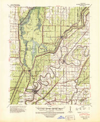
 - 1952 Map of Jericho
 1952 Jericho1952 Print · USGSCovers Mississippi County, including Memphis, Marion, and other nearby areas
 - 1952 Map of Hales Point
 1952 Hales Point1952 Print · USGSCovers Mississippi County, including Ripley, Hales Point, and other nearby areas4 unique versions available
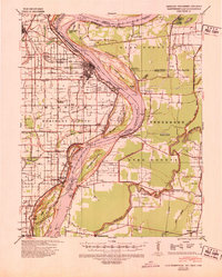
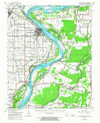
 - 1953 Map of Memphis, 1966 Print
 1953 Memphis1966 Print · USGSCovers Mississippi County, including Memphis, Jonesboro, and other nearby areas3 unique versions available
 - 1955 Map of Hayti
 1955 Hayti1955 Print · USGSCovers Mississippi County, including Hayti, Steele, and other nearby areas
 - 1955 Map of Blytheville
 1955 Blytheville1955 Print · USGSCovers Mississippi County, including Blytheville, Gosnell, and other nearby areas
 - 1956 Map of Leachville
 1956 Leachville1956 Print · USGSCovers Mississippi County, including Leachville, Lake City, and other nearby areas2 unique versions available
 - 1956 Map of Manila
 1956 Manila1956 Print · USGSCovers Mississippi County, including Manila, Leachville, and other nearby areas3 unique versions available
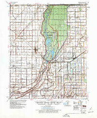
 - 1956 Map of Evadale
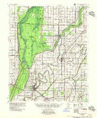
 1956 Evadale1956 Print · USGSCovers Mississippi County, including Osceola, Wilson, and other nearby areas
 - 1956 Map of Marked Tree
 1956 Marked Tree1956 Print · USGSCovers Mississippi County, including Trumann, Marked Tree, and other nearby areas2 unique versions available
 - 1956 Map of Memphis
 1956 Memphis1956 Print · USGSCovers Mississippi County, including Memphis, Jonesboro, and other nearby areas
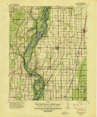
 - 1956 Map of Dyersburg, 1960 Print
 1956 Dyersburg1960 Print · USGSCovers Mississippi County, including Dyersburg, Sikeston, and other nearby areas4 unique versions available
 - 1956 Map of Blytheville, 1964 Print
 1956 Blytheville1964 Print · USGSCovers Mississippi County, including Memphis, Jackson, and other nearby areas2 unique versions available
 - 1957 Map of Caruthersville
 1957 Caruthersville1957 Print · USGSCovers Mississippi County, including Caruthersville, Hayti, and other nearby areas
Showing maps 1-25 of 69
Top cities of Mississippi County
- Blytheville historical maps
- Osceola historical maps
- Gosnell historical maps
- Manila historical maps
- Leachville historical maps
- Luxora historical maps
See more
Frequently asked questions
- What are the different types of historical maps available for Mississippi County?
- What is the oldest map of Mississippi County?
- Where can I purchase historical maps of Mississippi County for my home or office?
- Where can I download high-res historical maps of Mississippi County?
- Are there historical topographic maps available for Mississippi County?
- Is there historical aerial imagery available for Mississippi County?
- Where are historical maps of Mississippi County sourced from?