2020s Maps of Montgomery County, Arkansas
Explore 40 historic maps of Montgomery County from the 2020s. These maps offer a rare glimpse into what life looked like during the 2020s — showing old roads, neighborhoods, homes, and landmarks that have changed or disappeared over time.
Whether you're researching your family's past, planning a metal detecting trip, or studying how Montgomery County's landscape evolved across the 2020s, these high-resolution maps are a powerful tool for exploring the history of this region.
- Focus on a specific era: All maps on this page are from the 2020s, giving you a focused view of this time period.
- See what’s changed: Compare century-old streets, trails, and buildings to today's modern landscape using overlays and satellite layers.
- Research with precision: Use these maps for genealogy, historical research, land use analysis, or educational projects.
- View, download, or print: Maps are fully viewable online in high resolution, and can be downloaded or printed for your own records.
Start exploring Montgomery County's history through authentic maps from the 2020s. This is your window into the past.
Montgomery County, AR maps
(40)- 2020 Map of Amity, 2020 Print
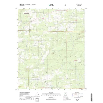 2020 Amity2020 Print · USGSThe river valleys of Clark and Pike counties are captured here in the contemporary era. Researchers can locate family landmarks like Coker Cem and Dillard Cem or trace the winding course of the Caddo River near Amity.
 - 2020 Map of Mount Ida, 2020 Print
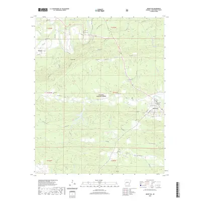 2020 Mount Ida2020 Print · USGSMount Ida and the surrounding Ouachita Mountains are documented here in 2020, showing the intersection of river valley life and forest terrain. Researchers can locate numerous local burial sites like Mount Ida Cem and Rocky Cem, or trace the path of the Womble Trail S through the timber.
 - 2020 Map of Glenwood, 2020 Print
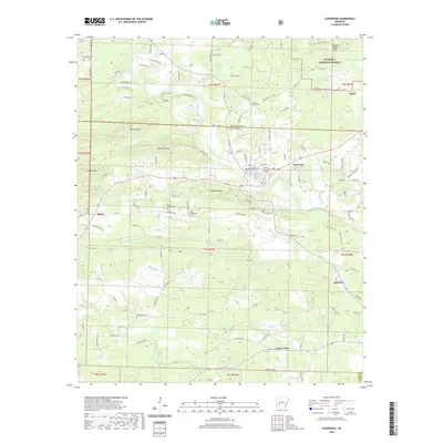 2020 Glenwood2020 Print · USGSThe Ouachita foothills and Caddo River valley define this rural landscape during the early twenty-first century. Researchers can trace family history through numerous remote burial sites like Old Ebenezer Cem or explore the settlements of Rosboro and Salem.
 - 2020 Map of Caddo Gap, 2020 Print
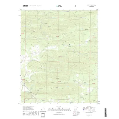 2020 Caddo Gap2020 Print · USGSThe Ouachita highlands of Montgomery County are shown here in the 2020s as a landscape of isolated mountain ridges and family burial grounds. Genealogists can trace family heritage through numerous sites like Bassinger Cemetery, Bethel Cemetery, and the riverside settlement of Caddo Gap.
 - 2020 Map of Big Fork, 2020 Print
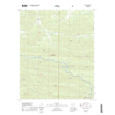 2020 Big Fork2020 Print · USGSThe Ouachita highlands of Polk and Montgomery counties are captured here in the recent era, showing a landscape defined by ridgelines and river headwaters. Researchers can trace rural landmarks and cemeteries such as Pleasant Grove Cem, Rock Springs Cem, and the winding Caddo River.
 - 2020 Map of Sims, 2020 Print
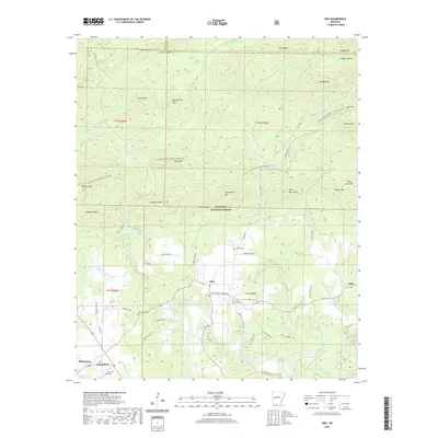 2020 Sims2020 Print · USGSMontgomery County in the early twenty-first century reveals a landscape where the Ouachita River meets the dense timber of the Ouachita National Forest. Genealogists and local historians can trace the rural communities of Sims and Pencil Bluff or locate family sites at Barber Cem and Macedonia Cem.
 - 2020 Map of Fannie, 2020 Print
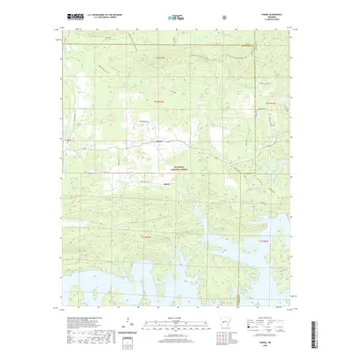 2020 Fannie2020 Print · USGSThe Ouachita National Forest and the jagged northern shores of Lake Ouachita meet in this 2020 study. Researchers can find long-standing rural landmarks like Lee Cem, Breashears Cem, and the quiet settlements of Fannie and Liberty.
 - 2020 Map of McGraw Mountain, 2020 Print
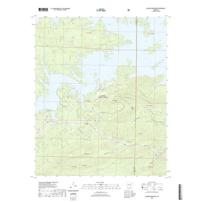 2020 McGraw Mountain2020 Print · USGSThe Joplin area and the southern reaches of the Ouachita Mountains are shown here as they appeared in 2020. Local researchers can trace family landmarks and hiking routes, including Joplin Cemetery, the Lake Ouachita Vista Trail, and the peak of McGraw Mountain.
 - 2020 Map of Brushy Creek Mountain, 2020 Print
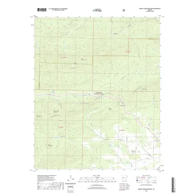 2020 Brushy Creek Mountain2020 Print · USGSMontgomery County and the Ouachita National Forest are shown in detail during the late twenty-teens. Genealogists and hikers can trace the Ouachita National Recreation Trail past remote sites like Brushy Cem, Grenade Cem, and Turkey Pen Mtn.
 - 2020 Map of Reed Mountain, 2020 Print
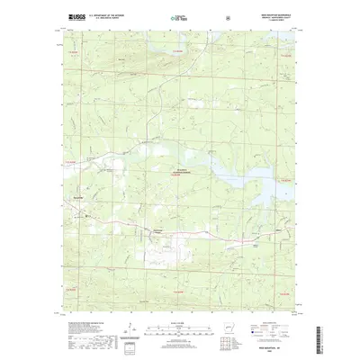 2020 Reed Mountain2020 Print · USGSMount Ida and the surrounding Montgomery County highlands appear in this modern survey of the Ouachita National Forest. Researchers can locate numerous family burial grounds like Whittington Cem and Blish Cem near the shores of Lake Ouachita.
 - 2020 Map of Bonnerdale, 2020 Print
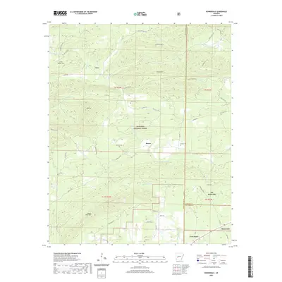 2020 Bonnerdale2020 Print · USGSThe Garland and Montgomery county borderlands are shown here in the 2020s, featuring the mountain ridges and creek valleys of the Ouachita National Forest. Genealogists can trace local roots at Howton Cemetery and Caney Cemetery or locate the site of Old Bonnerdale.
 - 2020 Map of Athens, 2020 Print
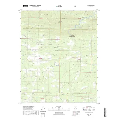 2020 Athens2020 Print · USGSAthens and the surrounding Ouachita National Forest are shown in this recent survey of the Arkansas highlands. Local researchers can trace family landmarks and burial sites like Athens Cem or Putman Cem along the winding Little Missouri River.
 - 2020 Map of Oden, 2020 Print
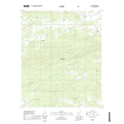 2020 Oden2020 Print · USGSMontgomery County’s river valleys and forested ridges are captured here as they appeared in 2020, centered on the community of Oden. Genealogists can locate several family burial sites like Goodner Cem and Shirley Cem or trace the winding Ouachita River.
 - 2020 Map of Buck Knob, 2020 Print
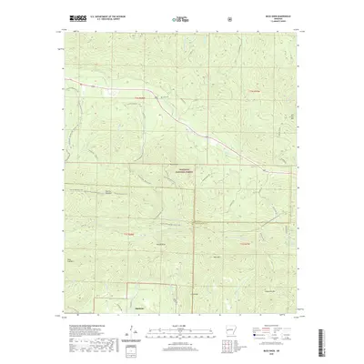 2020 Buck Knob2020 Print · USGSHighland and the high ridges of the Ouachita Mountains are captured here in the early twenty-first century. Genealogists and hikers can trace remote landmarks like Lyons Cem, the Ouachita National Recreation Trail, and the peaks of Buck Knob and Fourche Mountain.
 - 2020 Map of Polk Creek Mountain, 2020 Print
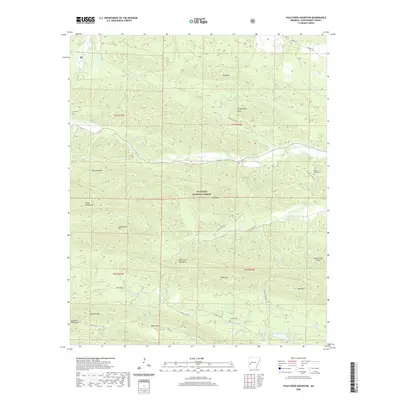 2020 Polk Creek Mountain2020 Print · USGSIn the Ouachita Mountains during the modern era, this survey details a landscape of high ridges and rural valley settlements. Genealogists can locate several remote burial sites such as Mount Gilead Cem and Stover Cem near the S Fork Caddo River.
 - 2020 Map of Pine Ridge, 2020 Print
 2020 Pine Ridge2020 Print · USGSThe Polk and Montgomery county line runs through this timbered mountain landscape during the early twenty-first century. Genealogists and local historians can trace family locations at Cherry Hill, Pine Ridge, and burial sites at Wilhite Cem or Hillside Cem.
 - 2020 Map of Norman, 2020 Print
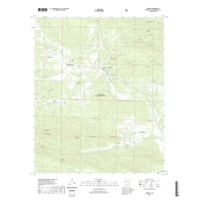 2020 Norman2020 Print · USGSThe Ouachita foothills of Montgomery County appear in high detail during the early twenty-first century. Researchers can trace family history through numerous burial sites like Waco School Cem and Irby Cem or explore the reach of the Caddo River near Black Springs.
 - 2020 Map of Langley, 2020 Print
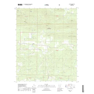 2020 Langley2020 Print · USGSThe Langley area in the 2020s remains a landscape of high ridges and river valleys deep within the Ouachita National Forest. Researchers can trace local heritage through sites like Fancy Hill Cem, the settlement of Albert, and historical routes like Old Tram Rd.
 - 2020 Map of Story, 2020 Print
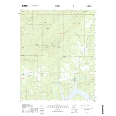 2020 Story2020 Print · USGSThe northern edge of Lake Ouachita and the Ouachita National Forest are shown here during the early twenty-first century. Researchers can trace family history at East Washita Cem or explore the wilderness trails near Chalybeate Spring and Harold Ridge.
 - 2020 Map of Lodi, 2020 Print
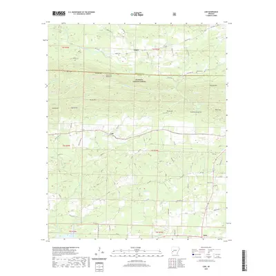 2020 Lodi2020 Print · USGSThe Montgomery and Pike County line area comes into focus in this recent survey, showing the forested ridges between Hopper and Kirby. Genealogists and local historians can locate several family landmarks, including Hopper Cem, Coffman Cem, and Palestine Cem.
 - 2024 Map of Bonnerdale, 2024 Print
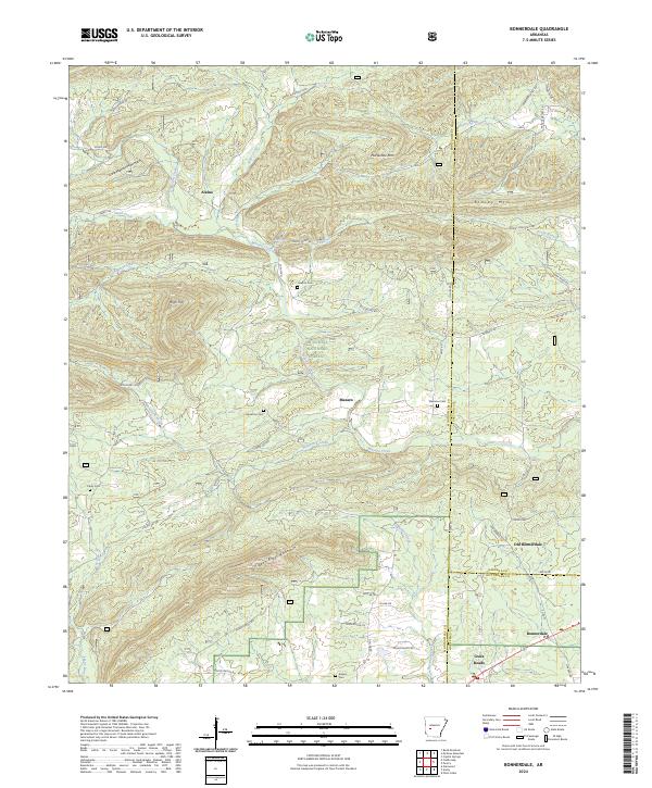 2024 Bonnerdale2024 Print · USGSThe upland ridges of the Ouachita Mountains meet at the junction of three counties in the 2020s. Researchers can trace rural lineages through local sites like Howton Cem, Old Bonnerdale, and Alamo tucked between High Top and Mazarn Creek.
 - 2024 Map of Athens, 2024 Print
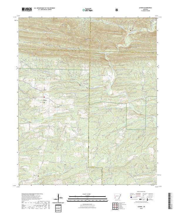 2024 Athens2024 Print · USGSThe borderlands of Howard and Montgomery Counties come alive in this recent survey of the southern Ouachitas. Researchers can trace the timber-industry footprint along the W Old Tram Rd or locate ancestral burial sites like Putman Cem and Athens Cem.
 - 2024 Map of Langley, 2024 Print
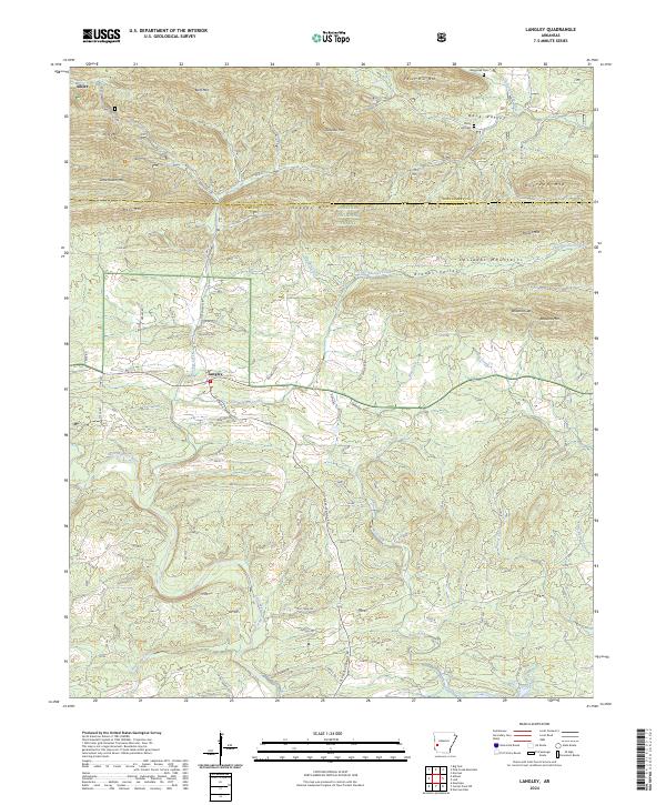 2024 Langley2024 Print · USGSThe southern Ouachita Mountains come into sharp focus in this recent survey of the Pike and Montgomery county line. Genealogists and local researchers can trace the roads connecting Langley and Fancy Hill, locating family landmarks like Fancy Hill Cem and Waggoner Cem.
 - 2024 Map of Mount Ida, 2024 Print
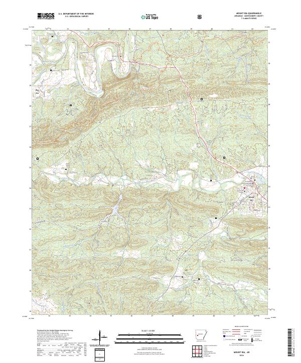 2024 Mount Ida2024 Print · USGSMount Ida and the surrounding Montgomery County hills are captured here in the early twenty-first century, showing the intersection of local life and the Ouachita National Forest. Researchers can locate numerous family burial grounds like Oak Hill Cem and Bates Cem or trace the winding course of the Ouachita River.
 - 2024 Map of Amity, 2024 Print
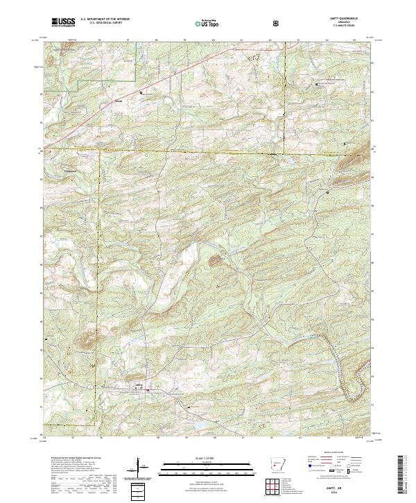 2024 Amity2024 Print · USGSThe Ouachita foothills meet the Caddo River in this rural Arkansas landscape during the early twenty-first century. Researchers can trace family history through numerous rural burial sites like Newcomb Cem and Shiloh Cem or locate the Amity Methodist Church.
Showing maps 1-25 of 40
Top cities of Montgomery County
Frequently asked questions
- What are the different types of historical maps available for Montgomery County?
- What is the oldest map of Montgomery County?
- Where can I purchase historical maps of Montgomery County for my home or office?
- Where can I download high-res historical maps of Montgomery County?
- Are there historical topographic maps available for Montgomery County?
- Is there historical aerial imagery available for Montgomery County?
- Where are historical maps of Montgomery County sourced from?