2020s Maps of Dover, Arkansas
Explore 8 historic maps of Dover from the 2020s. These maps offer a rare glimpse into what life looked like during the 2020s — showing old roads, neighborhoods, homes, and landmarks that have changed or disappeared over time.
Whether you're researching your family's past, planning a metal detecting trip, or studying how Dover's landscape evolved across the 2020s, these high-resolution maps are a powerful tool for exploring the history of this region.
- Focus on a specific era: All maps on this page are from the 2020s, giving you a focused view of this time period.
- See what’s changed: Compare century-old streets, trails, and buildings to today's modern landscape using overlays and satellite layers.
- Research with precision: Use these maps for genealogy, historical research, land use analysis, or educational projects.
- View, download, or print: Maps are fully viewable online in high resolution, and can be downloaded or printed for your own records.
Start exploring Dover's history through authentic maps from the 2020s. This is your window into the past.
Dover, AR maps
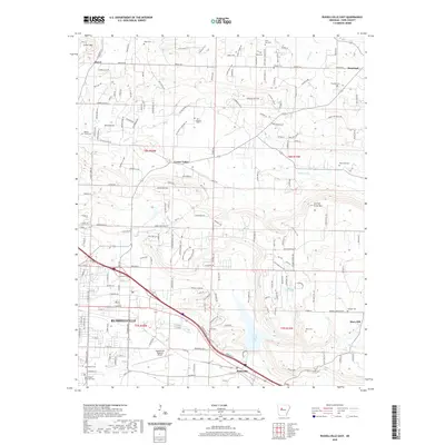
(8)- 2020 Map of Russellville West, 2020 Print
 2020 Russellville West2020 Print · USGSCovers Dover, including Russellville, Dardanelle, and other nearby areas
 - 2020 Map of Lee Mountain, 2020 Print
 2020 Lee Mountain2020 Print · USGSCovers Dover, including Augsburg, Piney, and other nearby areas
 - 2020 Map of Dover, 2020 Print
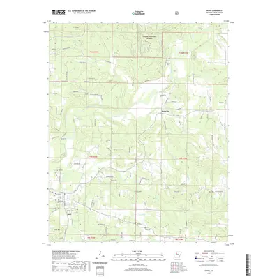 2020 Dover2020 Print · USGSCovers Dover, including Broomfield, Scottsville, and other nearby areas
 - 2020 Map of Russellville East, 2020 Print
 2020 Russellville East2020 Print · USGSCovers Dover, including Russellville, Pottsville, and other nearby areas
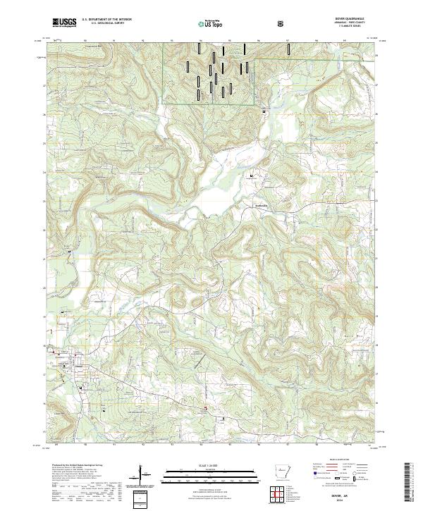
 - 2024 Map of Lee Mountain, 2024 Print
 2024 Lee Mountain2024 Print · USGSCentral Arkansas hill country unfolds in the early twenty-first century, showing the enduring rural character of Pope County. Genealogists and historians can trace family locations near Booger Hollow, Augsburg, and cemeteries like Chesser Cem or Pollard Cem.
 - 2024 Map of Dover, 2024 Print
 2024 Dover2024 Print · USGSPope County’s rugged hills and the southern Ozark National Forest are documented in this contemporary survey. Researchers can trace family history through a dozen rural burial grounds including Goates Cem, Lake Cem, and Hatley Cem.
 - 2024 Map of Russellville East, 2024 Print
 2024 Russellville East2024 Print · USGSThe eastern edges of Russellville and the surrounding Pope County countryside are shown here in modern detail. Genealogists and local historians can locate many family burial sites, such as Paschal Cem, Utley Cem, and Washfield Cem.
 - 2024 Map of Russellville West, 2024 Print
 2024 Russellville West2024 Print · USGSRussellville and the Arkansas River valley are shown in detail during the early 2020s, highlighting the regional importance of Arkansas Tech University. Researchers can trace old family burial grounds like Ball Hill Cem and Mission Cem or locate landmarks like Norristown Mtn and Williamson Ford.
End of results
Showing maps 1-8 of 8
Top cities near Dover
- Russellville historical maps
- Dardanelle historical maps
- Atkins historical maps
- Pottsville historical maps
- London historical maps
- Knoxville historical maps
See more
Top neighborhoods of Dover
Frequently asked questions
- What are the different types of historical maps available for Dover?
- What is the oldest map of Dover?
- Where can I purchase historical maps of Dover for my home or office?
- Where can I download high-res historical maps of Dover?
- Are there historical topographic maps available for Dover?
- Is there historical aerial imagery available for Dover?
- Where are historical maps of Dover sourced from?