2020s Maps of Randolph County, Arkansas
Explore 36 historic maps of Randolph County from the 2020s. These maps offer a rare glimpse into what life looked like during the 2020s — showing old roads, neighborhoods, homes, and landmarks that have changed or disappeared over time.
Whether you're researching your family's past, planning a metal detecting trip, or studying how Randolph County's landscape evolved across the 2020s, these high-resolution maps are a powerful tool for exploring the history of this region.
- Focus on a specific era: All maps on this page are from the 2020s, giving you a focused view of this time period.
- See what’s changed: Compare century-old streets, trails, and buildings to today's modern landscape using overlays and satellite layers.
- Research with precision: Use these maps for genealogy, historical research, land use analysis, or educational projects.
- View, download, or print: Maps are fully viewable online in high resolution, and can be downloaded or printed for your own records.
Start exploring Randolph County's history through authentic maps from the 2020s. This is your window into the past.
Randolph County, AR maps
(36)- 2020 Map of Hardy NE, 2020 Print
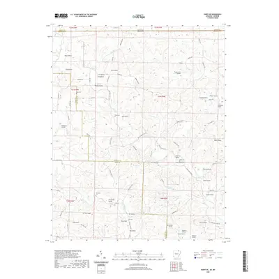 2020 Hardy NE2020 Print · USGSRandolph and Sharp Counties in the Ozark foothills are captured here at the turn of the decade. Genealogists can trace family heritage through numerous remote burial sites like Bellah Cem, McCollough Cem, and the landmarks surrounding Perry Bluff.
 - 2020 Map of Noland, 2020 Print
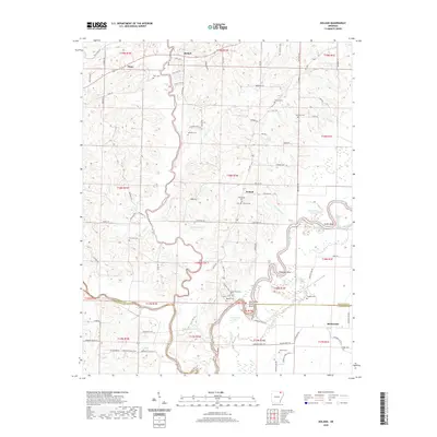 2020 Noland2020 Print · USGSRandolph and Lawrence counties are defined by the winding course of the Black River in the early twenty-first century. Researchers can trace family roots at Huffstedler and Chesser Cem or explore riverside landmarks like Deadman Bend and Richwoods.
 - 2020 Map of Reyno, 2020 Print
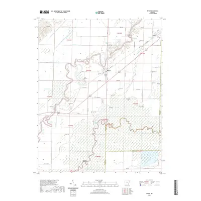 2020 Reyno2020 Print · USGSNortheast Arkansas river country is captured here in 2020, where the Current and Black Rivers meet at the Randolph and Clay county lines. Genealogists can trace family names across numerous sites like Old Reyno Cem, Yellow Hall Cem, and Two Board Shanty Bend.
 - 2020 Map of Warm Springs, 2020 Print
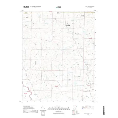 2020 Warm Springs2020 Print · USGSNear the Missouri border in the 2020s, this area of Randolph County remains a rural landscape defined by the Eleven Point River and many natural springs. Genealogists can trace family names through numerous burial sites including Macedonia Cem, Antioch Cem, and Roach Cem.
 - 2020 Map of Pocahontas, 2020 Print
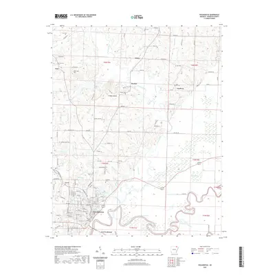 2020 Pocahontas2020 Print · USGSPocahontas and the surrounding Randolph County riverlands are documented here at the turn of the 2020s. Researchers can trace family history at Saint John Cem and Oak Grove Cem or locate old landmarks like Aunt Lucy Hill and the Randolph County Courthouse.
 - 2020 Map of Maynard, 2020 Print
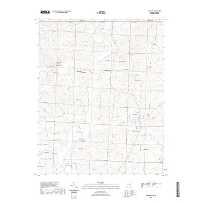 2020 Maynard2020 Print · USGSRandolph County in 2020 retains its rural character, defined by small river settlements and numerous family-named landmarks. Genealogists can trace local heritage through a high density of burial grounds, including the Maynard Cem, Foster Cem, and Glaze Creek Cem.
 - 2020 Map of Williford, 2020 Print
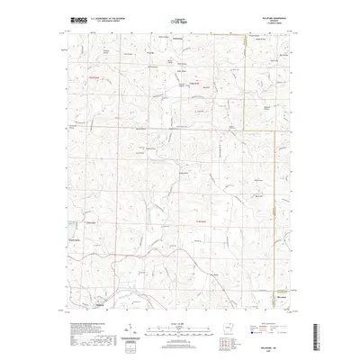 2020 Williford2020 Print · USGSSharp and Randolph counties meet at the bend of the Spring River in this detailed 2020 record of the Arkansas Ozarks. Researchers can trace rural lineages through numerous local sites like Bradford Cemetery, Ozark Acres, and the old settlement of Williford.
 - 2020 Map of O'Kean, 2020 Print
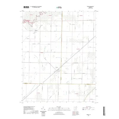 2020 O'Kean2020 Print · USGSThis rural portion of northeastern Arkansas at the turn of the decade shows the meeting of three counties amidst an extensive network of drainage ditches. Researchers can locate several family cemeteries, such as Serge Cem and Frye Cem, along with the small communities of Sharum and O'Kean.
 - 2020 Map of Ravenden Springs, 2020 Print
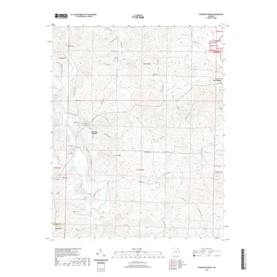 2020 Ravenden Springs2020 Print · USGSRavenden Springs and the surrounding Ozark foothills are documented here at the turn of the twenty-first century. Genealogists and local historians can trace family ties at Charter Oak Cem, locate Middle Spring, or follow the Eleven Point River near Elevenpoint.
 - 2020 Map of Ravenden Springs SE, 2020 Print
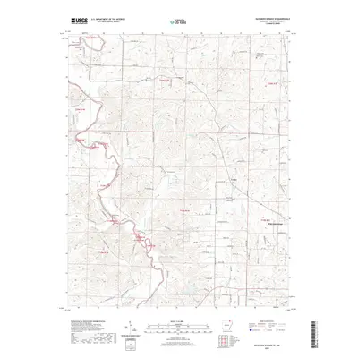 2020 Ravenden Springs SE2020 Print · USGSRandolph County's rural landscape is captured here in the years following the millennium, centered on the Eleven Point River and the community of Lorine. Researchers can trace local lineage through numerous sites like Shiloh Cem and landmarks such as the Black Ferry Bridge.
 - 2020 Map of Datto, 2020 Print
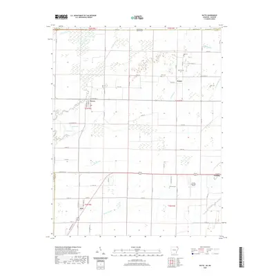 2020 Datto2020 Print · USGSThe Arkansas-Missouri borderlands are captured here in recent years, showing the structured agricultural landscape of Clay County. Researchers can trace rural lineages through family-named sites like Hitt Cem and Masterson Cem or explore the riverfront streets of Success.
 - 2020 Map of Dalton, 2020 Print
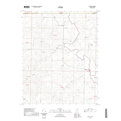 2020 Dalton2020 Print · USGSThe Missouri-Arkansas border region comes into focus in this recent study, centered on the winding Eleven Point River. Family historians can trace local roots through numerous burial sites like Walnut Grove Cemetery and Dalton Cemetery near the settlement of Dalton.
 - 2020 Map of Peach Orchard, 2020 Print
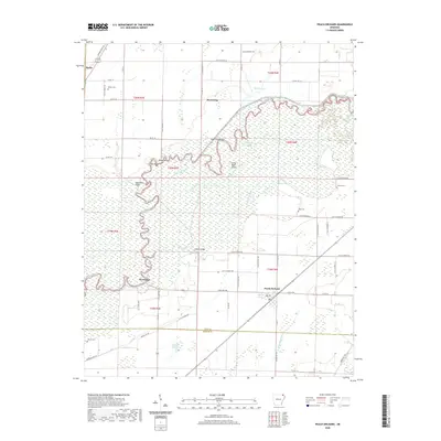 2020 Peach Orchard2020 Print · USGSThe river bottoms and rural communities of northeast Arkansas are captured here in the contemporary era. Researchers can trace land ownership and heritage through local landmarks like Nelson Cem, the crossing at Hubble Bridge, and settlements such as Peach Orchard and Reyno.
 - 2020 Map of Manson, 2020 Print
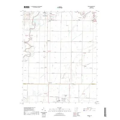 2020 Manson2020 Print · USGSThe Black River floodplain between Pocahontas and Walnut Ridge is captured here in detail during the early twenty-first century. Genealogists and local historians can locate several family-named landmarks and rural burial grounds, including Jones Cem, Watkins Cem, and the settlement at Manson.
 - 2020 Map of Supply, 2020 Print
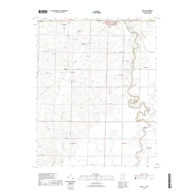 2020 Supply2020 Print · USGSThe Missouri-Arkansas border comes alive in this 2020 record of the Current River valley. Genealogists can trace family roots through Old Pitman Cem and Legate Cem, while water features like Peoples Lake mark the changing landscape.
 - 2020 Map of Black Rock, 2020 Print
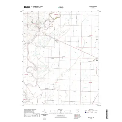 2020 Black Rock2020 Print · USGSThe Black River corridor in Lawrence County is captured here in the modern era, showing the enduring footprints of river and rail towns. Researchers can trace family history across numerous rural burial sites like Portia Cem and Whitlow Cem or locate the site of Box Factory Bend.
 - 2020 Map of Wirth, 2020 Print
 2020 Wirth2020 Print · USGSSharp County and the Missouri borderlands are captured here in the late twenty-teens, showing a landscape shaped by narrow hollows and high ridges. Researchers can pinpoint family burial sites like Flint Cem or trace the winding course of Moccasin Cr and Martins Cr.
 - 2020 Map of Imboden, 2020 Print
 2020 Imboden2020 Print · USGSThe Spring River valley comes into focus in this recent survey of northeastern Arkansas. Family historians can locate numerous burial sites including Nation Cemetery and Hope Cemetery, or trace the rural roads connecting Imboden to Sloan and Hogan.
 - 2024 Map of Imboden, 2024 Print
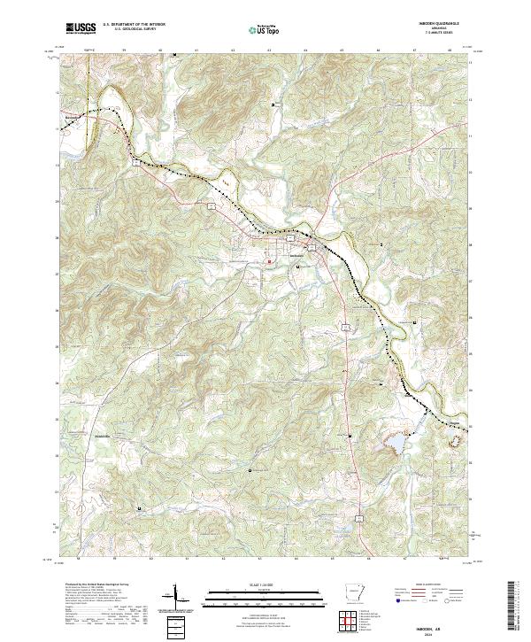 2024 Imboden2024 Print · USGSIn the river valleys of Lawrence and Randolph counties during the early twenty-first century, this area shows a landscape of small towns and rural homesteads. Genealogists can trace local heritage through numerous family burial sites like Holobaugh Cem, Campbell Cem, and Dent Cem.
 - 2024 Map of Noland, 2024 Print
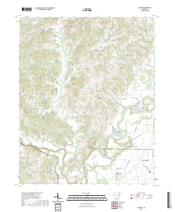 2024 Noland2024 Print · USGSRandolph and Lawrence counties meet at the confluence of several major rivers in the early twenty-first century. Genealogists and local historians can trace family roots through numerous burial sites like Huffstedler Cem and Harmony Cem near the river bends.
 - 2024 Map of Wirth, 2024 Print
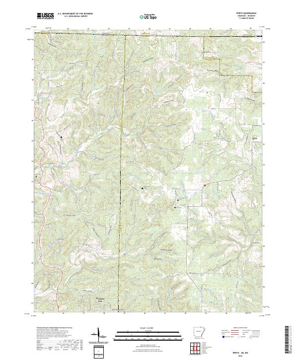 2024 Wirth2024 Print · USGSThe Arkansas-Missouri state line crosses these Ozark foothills near the community of Wirth in a landscape of deep hollows and cold springs. Genealogists can trace family names through Ed Collins Cem, Hurst Cem, and the quiet residential streets of Woodland Hills.
 - 2024 Map of Maynard, 2024 Print
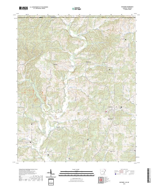 2024 Maynard2024 Print · USGSRandolph County, Arkansas, is documented here in a landscape defined by the Fourche River and its rural uplands. You can trace family history through a high density of local burial sites like Siloam Cem, Maynard Cem, and the old settlement at Middlebrook.
 - 2024 Map of Dalton, 2024 Print
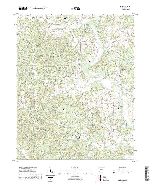 2024 Dalton2024 Print · USGSRandolph County at the Missouri border is a landscape of river valleys and ridge-top cemeteries in the 2020s. Genealogists can trace family heritage through local landmarks like Stubblefield Cem, Elm Store, and the banks of the Eleven Point River.
 - 2024 Map of Datto, 2024 Print
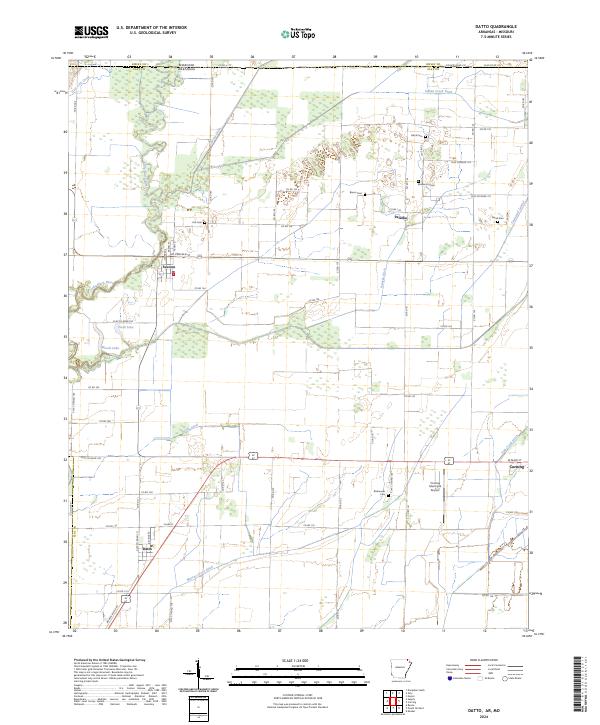 2024 Datto2024 Print · USGSClay County at the Arkansas-Missouri line reveals a landscape defined by its managed waterways and small agricultural hubs. Researchers can trace rural lineages through the locations of Hitt Cem, Black Cem, and Green Cem near the settlements of Success and Palatka.
 - 2024 Map of Manson, 2024 Print
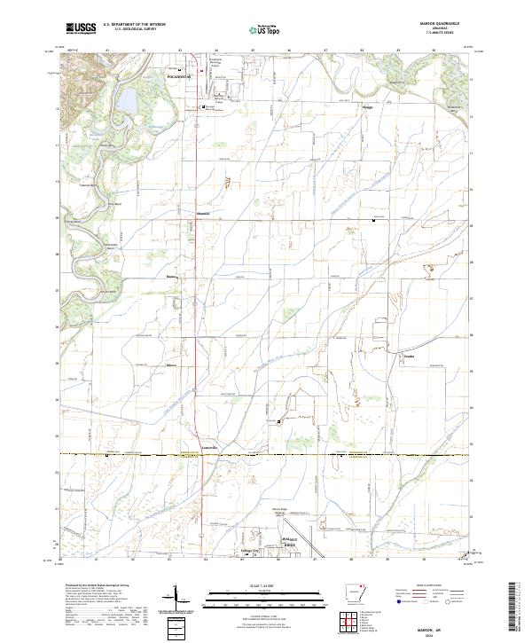 2024 Manson2024 Print · USGSThe border of Randolph and Lawrence counties comes into focus in the 2020s, showing the intersection of river commerce and delta agriculture. Genealogists can trace family connections through several rural burial sites like Jones Cem and Watkins Cem or the larger Randolph Memorial Gardens.
Showing maps 1-25 of 36
Top cities of Randolph County
- Pocahontas historical maps
- Reyno historical maps
- Maynard historical maps
- Biggers historical maps
- O'Kean historical maps
- Ravenden Springs historical maps
Frequently asked questions
- What are the different types of historical maps available for Randolph County?
- What is the oldest map of Randolph County?
- Where can I purchase historical maps of Randolph County for my home or office?
- Where can I download high-res historical maps of Randolph County?
- Are there historical topographic maps available for Randolph County?
- Is there historical aerial imagery available for Randolph County?
- Where are historical maps of Randolph County sourced from?