2010s Maps of Randolph County, Arkansas
Explore 54 historic maps of Randolph County from the 2010s. These maps offer a rare glimpse into what life looked like during the 2010s — showing old roads, neighborhoods, homes, and landmarks that have changed or disappeared over time.
Whether you're researching your family's past, planning a metal detecting trip, or studying how Randolph County's landscape evolved across the 2010s, these high-resolution maps are a powerful tool for exploring the history of this region.
- Focus on a specific era: All maps on this page are from the 2010s, giving you a focused view of this time period.
- See what’s changed: Compare century-old streets, trails, and buildings to today's modern landscape using overlays and satellite layers.
- Research with precision: Use these maps for genealogy, historical research, land use analysis, or educational projects.
- View, download, or print: Maps are fully viewable online in high resolution, and can be downloaded or printed for your own records.
Start exploring Randolph County's history through authentic maps from the 2010s. This is your window into the past.
Randolph County, AR maps
(54)- 2011 Map of Ravenden Springs, 2011 Print
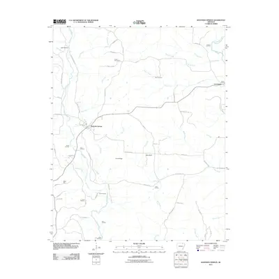 2011 Ravenden Springs2011 Print · USGSRavenden Springs and the Ozark foothills of Lawrence County are shown in detail during the early twenty-first century. Genealogists and local historians can locate numerous family burial sites, including the Charter Oak Cemetery and Janes Cemetery, or trace the path of the Eleven Point River.
 - 2011 Map of Noland, 2011 Print
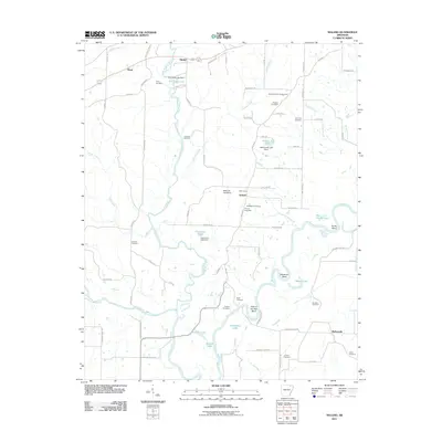 2011 Noland2011 Print · USGSRandolph County's river-rich landscape is captured here in the early twenty-first century, where the Eleven Point River meets the Black River. Local historians can trace family roots at Dunn Cemetery or locate old community centers like Birdell and Richwoods.
 - 2011 Map of Wirth, 2011 Print
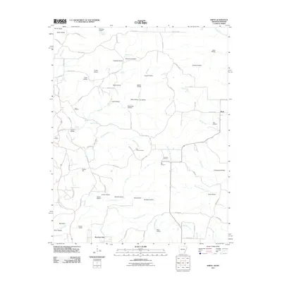 2011 Wirth2011 Print · USGSThe borderlands of Sharp County in the early twenty-first century reveal a rural landscape of winding hollows and family-named landmarks. Trace local history through sites like Wirth, Bethel Cemetery, and the intriguing Mine Hollow nestled along Big Creek.
 - 2011 Map of Imboden, 2011 Print
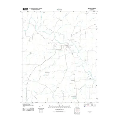 2011 Imboden2011 Print · USGSThe Spring River valley in Lawrence County is documented here during the early twenty-first century, showing the established town of Imboden. Researchers can locate family landmarks like Janes Cemetery, Annieville, and the Imboden Lookout Tower.
 - 2011 Map of Ravenden Springs SE, 2011 Print
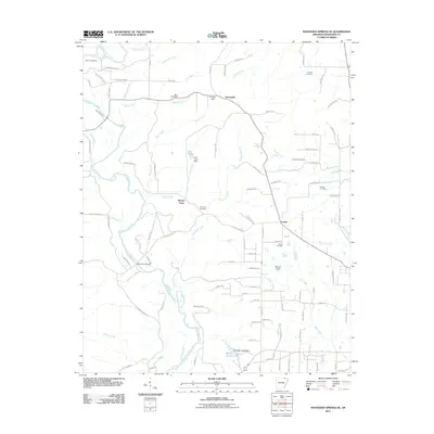 2011 Ravenden Springs SE2011 Print · USGSRandolph County's rural character is on full display in the early twenty-first century as the Eleven Point River flows past long-held family landmarks. Genealogists and historians can trace deep local roots through the McIlroy Cemetery, Shiloh Cemetery, and Wilson Cemetery.
 - 2011 Map of Black Rock, 2011 Print
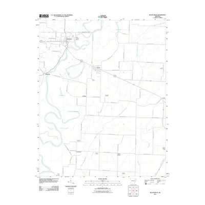 2011 Black Rock2011 Print · USGSLawrence County settlement and the meandering Black River corridor are detailed here during the early twenty-first century. Researchers can trace family history through several burial grounds like Oak Forest Cemetery and Portia Cemetery or locate landmarks such as Box Factory Bend and Recker Landing Field.
 - 2011 Map of Williford, 2011 Print
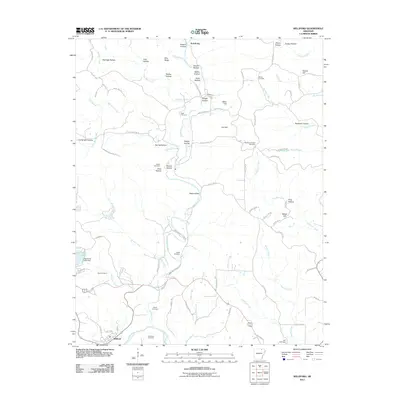 2011 Williford2011 Print · USGSThe hills around the Spring River in northeastern Arkansas are documented here in the early twenty-first century. Genealogists can trace family footprints across numerous sites including Bradford Chapel Cemetery, Ratliff Cemetery, and the northern settlement of Armstrong.
 - 2011 Map of Hardy NE, 2011 Print
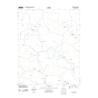 2011 Hardy NE2011 Print · USGSRandolph County's rural landscape is documented here in the early twenty-first century, showing a network of ridge roads and creek-side settlements. Genealogists can locate several family burial grounds, including McCollough Cemetery and Bellah Cemetery, along with landmarks like Perry Bluff.
 - 2011 Map of Dalton, 2011 Print
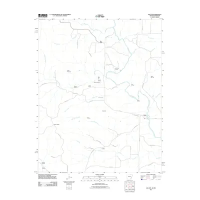 2011 Dalton2011 Print · USGSDalton and the surrounding Randolph County hills are shown here during the early 2000s as a landscape of river-valley settlements and ridge-top homesteads. Researchers can trace ancestral locations at the Stubblefield Cemetery, Elm Store, or the family-named Mine Hill.
 - 2011 Map of Warm Springs, 2011 Print
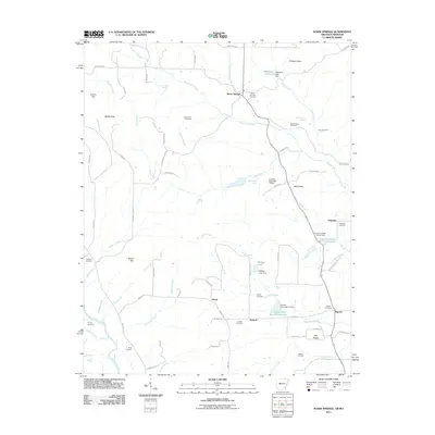 2011 Warm Springs2011 Print · USGSRandolph County's rural communities and natural springs are recorded here in the early twenty-first century. Researchers can trace dozens of family burial sites and landmarks like Warm Springs Cemetery, Phillips Knob, and the Eleven Point River.
 - 2011 Map of Manson, 2011 Print
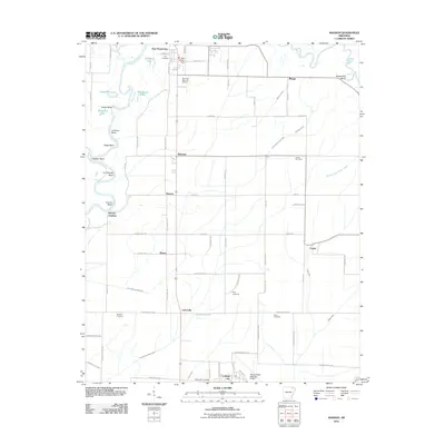 2011 Manson2011 Print · USGSThe Arkansas Delta just south of Pocahontas is captured here in the early twenty-first century, showing a landscape defined by the winding Black River. Researchers can locate several rural burial sites like Duty Cemetery and Snow Cemetery alongside old landings and settlements like Manson.
 - 2011 Map of Supply, 2011 Print
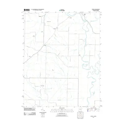 2011 Supply2011 Print · USGSThe Arkansas-Missouri borderlands at the start of the twenty-first century reveal a landscape of river-bend settlements and deep-rooted family history. Local researchers can trace family lines through several rural burial sites, including Old Pitman Cemetery, Ingram Cemetery, and Cox Cemetery.
 - 2011 Map of Maynard, 2011 Print
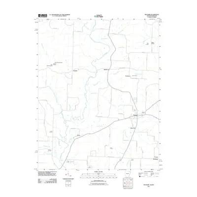 2011 Maynard2011 Print · USGSRandolph County's river valleys and rural crossroads are captured here in the early twenty-first century. Genealogists and local historians can trace family roots through numerous sites like Old Siloam, Brakebill, and the Maynard Cemetery.
 - 2011 Map of Pocahontas, 2011 Print
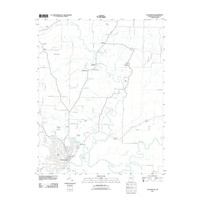 2011 Pocahontas2011 Print · USGSPocahontas and the surrounding river bottoms are documented here in the early twenty-first century. Researchers can trace family history through numerous rural burial sites like Gross Cemetery and Davis Cemetery or locate the historic river crossing at Skaggs Ferry Rd.
 - 2011 Map of Peach Orchard, 2011 Print
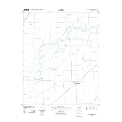 2011 Peach Orchard2011 Print · USGSNortheast Arkansas in the early twenty-first century is defined by its winding river systems and rural settlements. Genealogists and local historians can trace family locations near Peach Orchard or locate several community burial grounds including Nelson Cemetery and Allen Cemetery.
 - 2011 Map of Datto, 2011 Print
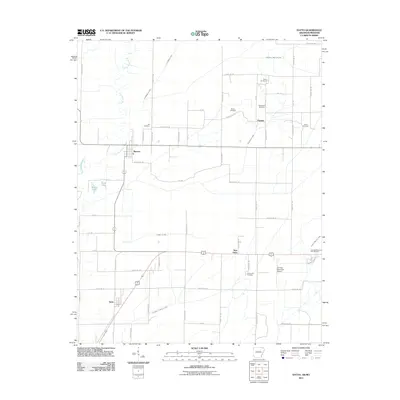 2011 Datto2011 Print · USGSClay County at the turn of the decade is shown through its intricate drainage networks and rural settlements along the Missouri border. Genealogists can trace family landmarks like Masterson Cemetery, Richwoods Cemetery, and the small community of Success.
 - 2011 Map of Reyno, 2011 Print
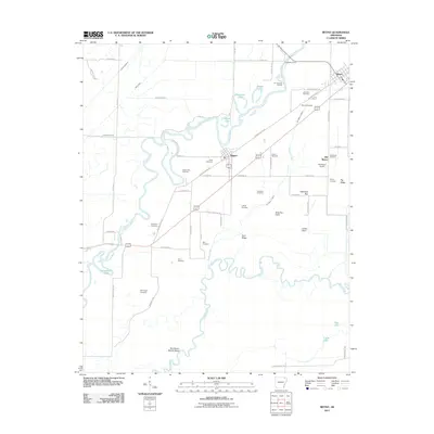 2011 Reyno2011 Print · USGSRandolph County's river-driven geography is documented here at the start of the 2010s, centered on the communities of Biggers and Reyno. Genealogists and local historians can trace family ties through numerous sites like Old Reyno Cemetery and Yellow Hall Cemetery, or locate old river crossings at Richardson Ferry.
 - 2011 Map of O'Kean, 2011 Print
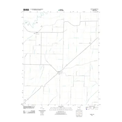 2011 O'Kean2011 Print · USGSThe lowland landscape of O'Kean and Sharum is captured here in the early twenty-first century, revealing an intricate network of drainage laterals and historic family settlements. Genealogists can locate several local burial sites including Liberty Cemetery, Ford Cemetery, and Frye Cemetery.
 - 2014 Map of Reyno, 2014 Print
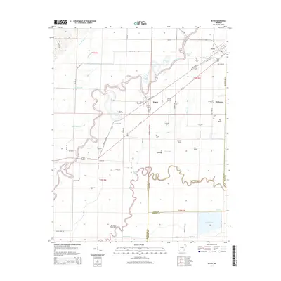 2014 Reyno2014 Print · USGSReyno and Biggers are situated at a complex junction of the Current and Black Rivers in these early 21st-century surveys. Researchers can locate numerous family-named burial grounds like Johnston Cem and Scott Cem or trace the early settlement at Old Reyno.
 - 2014 Map of Datto, 2014 Print
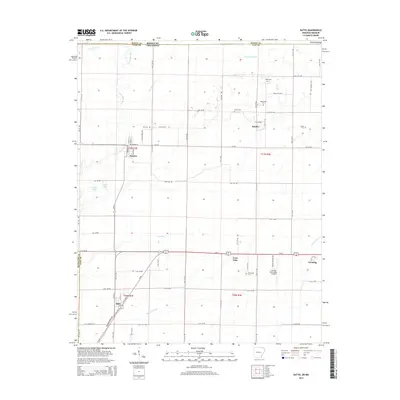 2014 Datto2014 Print · USGSClay County at the Arkansas-Missouri border is mapped here in the modern era, showing a landscape defined by industrial agriculture and small-town life. Genealogists can locate family sites at Masterson Cem and Green Cem, or trace the development of Success and Palatka.
 - 2014 Map of Wirth, 2014 Print
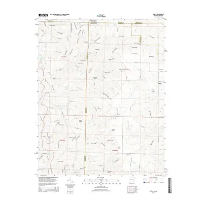 2014 Wirth2014 Print · USGSThe borderlands of Sharp and Fulton counties are documented here in the early 21st century, showing the rural community of Wirth and its surrounding hollows. Researchers can trace local genealogy through sites like Bethel Cem and Hurst Cem or explore family landmarks such as Britton Hill.
 - 2014 Map of O'Kean, 2014 Print
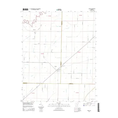 2014 O'Kean2014 Print · USGSNortheast Arkansas in the early 2010s reveals a landscape where the riverine heritage of the Black River meets a modern grid of agricultural drainage. Genealogists and local historians can trace family roots through rural landmarks like Sharum Cemetery and the settlement of O'Kean.
 - 2014 Map of Peach Orchard, 2014 Print
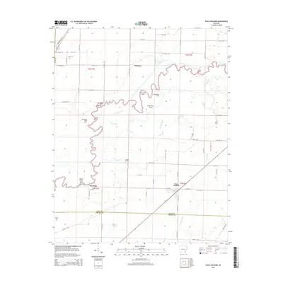 2014 Peach Orchard2014 Print · USGSPeach Orchard and Brookings are mapped here in the mid-2010s as they sit among the complex bends of the Black River and Little River. Genealogists and local historians can trace family connections at Nelson Cem, Albrite Cem, and the crossing at Hubble Bridge.
 - 2014 Map of Williford, 2014 Print
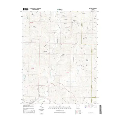 2014 Williford2014 Print · USGSThe foothills of northeast Arkansas are captured here in the early 2000s at the junction of Sharp, Randolph, and Lawrence counties. Genealogists and local historians can locate numerous rural burial sites including Wicker Cem, Kellett Cem, and Bradford Chapel Cem.
 - 2014 Map of Black Rock, 2014 Print
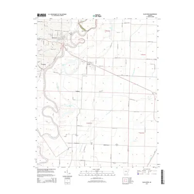 2014 Black Rock2014 Print · USGSLawrence County settlements and river bends are captured here in the early twenty-first century as the Ozark foothills meet the delta. Researchers can locate family plots at Oak Forest Cem and Powhatan Cem or trace the river's path through Box Factory Bend.
Showing maps 1-25 of 54
Top cities of Randolph County
- Pocahontas historical maps
- Reyno historical maps
- Maynard historical maps
- Biggers historical maps
- O'Kean historical maps
- Ravenden Springs historical maps
Frequently asked questions
- What are the different types of historical maps available for Randolph County?
- What is the oldest map of Randolph County?
- Where can I purchase historical maps of Randolph County for my home or office?
- Where can I download high-res historical maps of Randolph County?
- Are there historical topographic maps available for Randolph County?
- Is there historical aerial imagery available for Randolph County?
- Where are historical maps of Randolph County sourced from?