2020s Maps of Searcy County, Arkansas
Explore 36 historic maps of Searcy County from the 2020s. These maps offer a rare glimpse into what life looked like during the 2020s — showing old roads, neighborhoods, homes, and landmarks that have changed or disappeared over time.
Whether you're researching your family's past, planning a metal detecting trip, or studying how Searcy County's landscape evolved across the 2020s, these high-resolution maps are a powerful tool for exploring the history of this region.
- Focus on a specific era: All maps on this page are from the 2020s, giving you a focused view of this time period.
- See what’s changed: Compare century-old streets, trails, and buildings to today's modern landscape using overlays and satellite layers.
- Research with precision: Use these maps for genealogy, historical research, land use analysis, or educational projects.
- View, download, or print: Maps are fully viewable online in high resolution, and can be downloaded or printed for your own records.
Start exploring Searcy County's history through authentic maps from the 2020s. This is your window into the past.
Searcy County, AR maps
(36)- 2020 Map of Maumee, 2020 Print
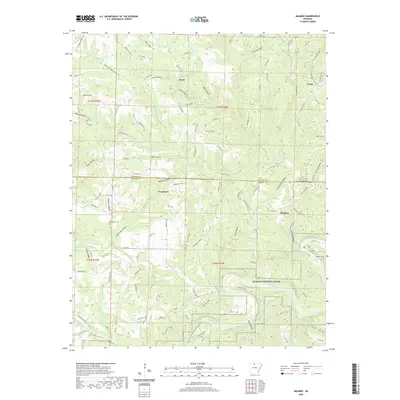 2020 Maumee2020 Print · USGSCovers Searcy County, including Maumee, Freck, and other nearby areas
 - 2020 Map of Saint Joe, 2020 Print
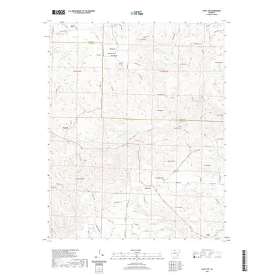 2020 Saint Joe2020 Print · USGSCovers Searcy County, including Saint Joe, Pindall, and other nearby areas
 - 2020 Map of Cozahome, 2020 Print
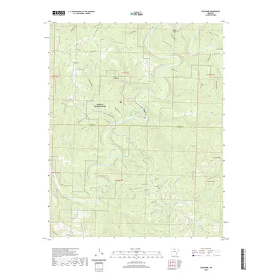 2020 Cozahome2020 Print · USGSCovers Searcy County, including Cozahome, Mull, and other nearby areas
 - 2020 Map of Big Flat, 2020 Print
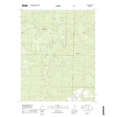 2020 Big Flat2020 Print · USGSCovers Searcy County, including Big Flat, Baxter County, and other nearby areas
 - 2020 Map of Western Grove, 2020 Print
 2020 Western Grove2020 Print · USGSCovers Searcy County, including Western Grove, Pindall, and other nearby areas
 - 2020 Map of Canaan, 2020 Print
 2020 Canaan2020 Print · USGSCovers Searcy County, including Canaan, Kay, and other nearby areas
 - 2020 Map of Alread, 2020 Print
 2020 Alread2020 Print · USGSCovers Searcy County, including Alread, Woolum, and other nearby areas
 - 2020 Map of Oxley, 2020 Print
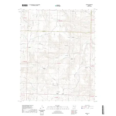
 2020 Oxley2020 Print · USGSCovers Searcy County, including Elba, Harness, and other nearby areas
 - 2020 Map of Snowball, 2020 Print
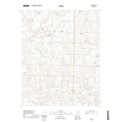
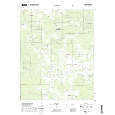 2020 Snowball2020 Print · USGSCovers Searcy County, including Snowball, Blanco, and other nearby areas
 - 2020 Map of Harriet, 2020 Print
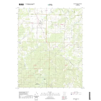
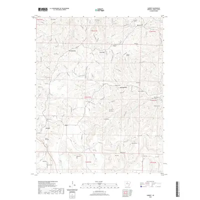 2020 Harriet2020 Print · USGSCovers Searcy County, including Marshall, Martin Box, and other nearby areas
 - 2020 Map of Leslie, 2020 Print
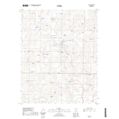 2020 Leslie2020 Print · USGSCovers Searcy County, including Leslie, Dennard, and other nearby areas
 - 2020 Map of Tilly, 2020 Print
 2020 Tilly2020 Print · USGSCovers Searcy County, including Zion Hill, Tilly, and other nearby areas
 - 2020 Map of Landis, 2020 Print
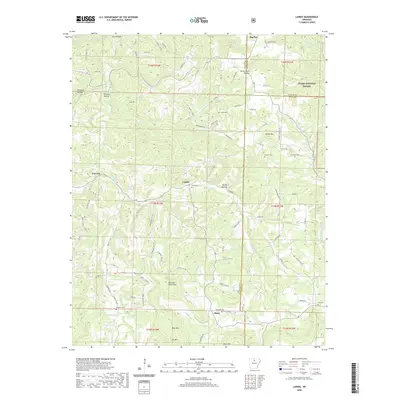 2020 Landis2020 Print · USGSCovers Searcy County, including Big Flat, Fairview, and other nearby areas
 - 2020 Map of Marshall, 2020 Print
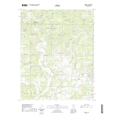 2020 Marshall2020 Print · USGSCovers Searcy County, including Marshall, Gilbert, and other nearby areas
 - 2020 Map of Eula, 2020 Print
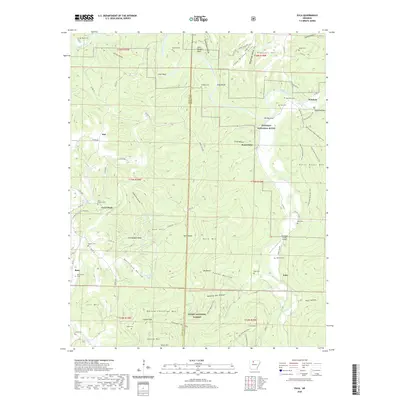 2020 Eula2020 Print · USGSCovers Searcy County, including Flat, Woolum, and other nearby areas
 - 2020 Map of Witts Springs, 2020 Print
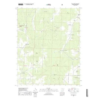 2020 Witts Springs2020 Print · USGSCovers Searcy County, including Witts Springs, Bohannon, and other nearby areas
 - 2020 Map of Moore, 2020 Print
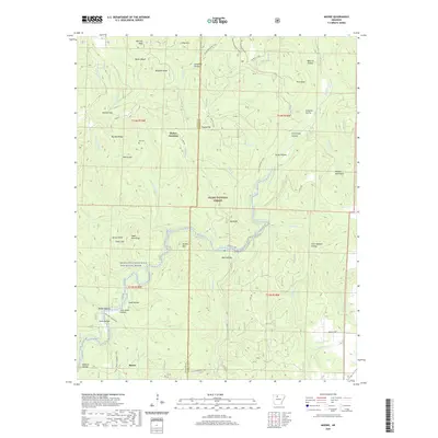 2020 Moore2020 Print · USGSCovers Searcy County, including Moore, Dickey Junction, and other nearby areas
 - 2020 Map of Smyrna, 2020 Print
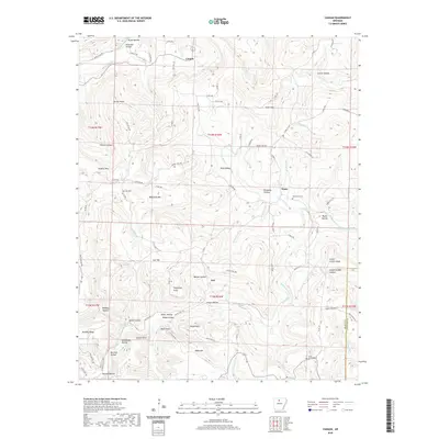
 2020 Smyrna2020 Print · USGSCovers Searcy County, including Smyrna, Raspberry, and other nearby areas
 - 2024 Map of Western Grove, 2024 Print
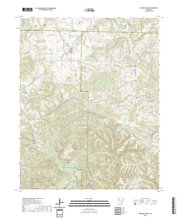 2024 Western Grove2024 Print · USGSNewton and Searcy counties are captured in the modern era as they border the Buffalo National River and its rugged valley. Genealogists can trace early homestead sites and family burials at Aydelotte Cem, Kilbum Cem, and the old settlement at Mount Hersey.
 - 2024 Map of Alread, 2024 Print
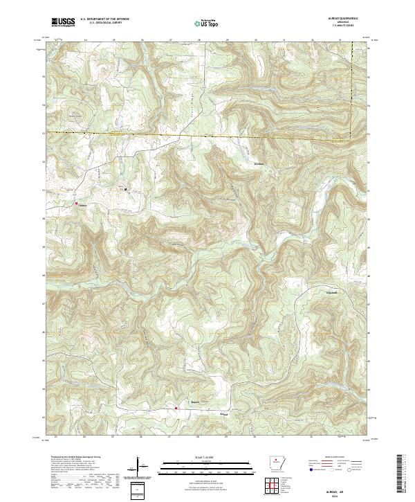 2024 Alread2024 Print · USGSThe Ozark highlands of Searcy and Van Buren counties are captured here in the early twenty-first century, showing the rugged network of creeks and ridges. Genealogists can locate family landmarks such as Liberty Cem and the rural settlements of Chimes, Woolum, and Alread.
 - 2024 Map of Tilly, 2024 Print
 2024 Tilly2024 Print · USGSThe rugged borders of Pope, Searcy, and Van Buren counties come together in this modern survey of the Ozark highlands. Genealogists and local historians can locate family landmarks such as Union Hill Cem, Parks Cem, and the settlement of Tilly.
 - 2024 Map of Smyrna, 2024 Print
 2024 Smyrna2024 Print · USGSThe Ozark highlands of Pope and Newton counties are revealed here in recent detail, showing a landscape of isolated mountain settlements. Researchers can trace family sites near Smyrna, Nogo, and Ben Hur, or locate the Old Smyrna Cem and Falling Water Falls.
 - 2024 Map of Harriet, 2024 Print
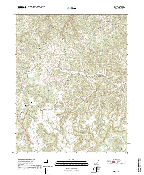 2024 Harriet2024 Print · USGSSearcy County as it appears in the 2020s shows a landscape of deep hollows and persistent rural settlements. Genealogists can trace family names through several hilltop burial grounds like Cypert Cem or locate the community of Morning Star.
 - 2024 Map of Leslie, 2024 Print
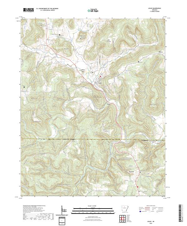 2024 Leslie2024 Print · USGSNorth-central Arkansas mountain life and valley settlements are detailed here in this contemporary look at the Ozarks. Researchers can locate ancestral burial grounds at Sulphur Springs Cem or trace rural road networks through Wileys Cove and Rumley.
 - 2024 Map of Oxley, 2024 Print
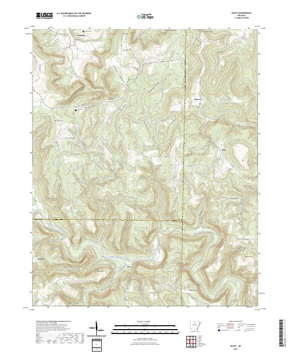 2024 Oxley2024 Print · USGSNorth-central Arkansas at the borders of Searcy, Van Buren, and Stone Counties is shown here as it appears today, preserving many historic settlement names. Genealogists and local historians can trace family locations near Kuykendall Cem, Dennard, and the Middle Fork Little Red River.
Showing maps 1-25 of 36
Top cities of Searcy County
- Marshall historical maps
- Leslie historical maps
- Saint Joe historical maps
- Pindall historical maps
- Gilbert historical maps
Frequently asked questions
- What are the different types of historical maps available for Searcy County?
- What is the oldest map of Searcy County?
- Where can I purchase historical maps of Searcy County for my home or office?
- Where can I download high-res historical maps of Searcy County?
- Are there historical topographic maps available for Searcy County?
- Is there historical aerial imagery available for Searcy County?
- Where are historical maps of Searcy County sourced from?