2010s Maps of Sharp County, Arkansas
Explore 54 historic maps of Sharp County from the 2010s. These maps offer a rare glimpse into what life looked like during the 2010s — showing old roads, neighborhoods, homes, and landmarks that have changed or disappeared over time.
Whether you're researching your family's past, planning a metal detecting trip, or studying how Sharp County's landscape evolved across the 2010s, these high-resolution maps are a powerful tool for exploring the history of this region.
- Focus on a specific era: All maps on this page are from the 2010s, giving you a focused view of this time period.
- See what’s changed: Compare century-old streets, trails, and buildings to today's modern landscape using overlays and satellite layers.
- Research with precision: Use these maps for genealogy, historical research, land use analysis, or educational projects.
- View, download, or print: Maps are fully viewable online in high resolution, and can be downloaded or printed for your own records.
Start exploring Sharp County's history through authentic maps from the 2010s. This is your window into the past.
Sharp County, AR maps
(54)- 2011 Map of Agnos, 2011 Print
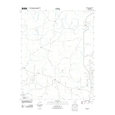 2011 Agnos2011 Print · USGSNorth Arkansas at the start of the 2010s shows a landscape of established rural settlements and growing lakeside developments. Researchers can locate family landmarks like Rhoads Cemetery and Humphries Cemetery or trace the South Fork Spring River through French and Saddle.
 - 2011 Map of Sitka, 2011 Print
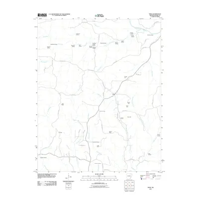 2011 Sitka2011 Print · USGSSharp County and the community of Sitka are shown here as they appeared in the early 2010s, nestled among the hollows of the Ozark foothills. Genealogists and local historians can trace family roots at Schales Cemetery or locate historic homesteads near Hurricane Bluff and Hickory Ridge.
 - 2011 Map of Evening Shade, 2011 Print
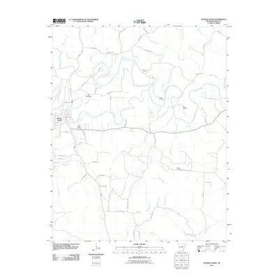 2011 Evening Shade2011 Print · USGSEvening Shade sits along the banks of the Strawberry River in this Sharp County study from the early 2010s. Researchers can trace local lineage through several burial sites including Fore, Lafferty, and the Evening Shade Cemetery.
 - 2011 Map of Smithville, 2011 Print
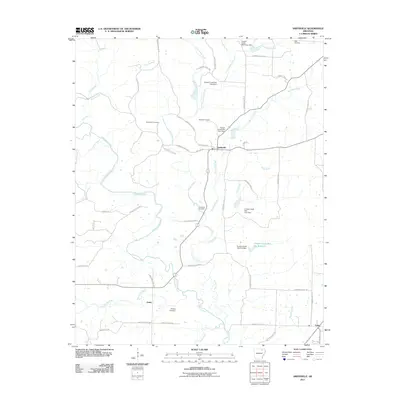 2011 Smithville2011 Print · USGSThe rural hills of Lawrence County are captured here in the early twenty-first century, centered on the settlement of Smithville. Researchers can trace the paths of the Strawberry River and locate family burial sites like Townsend Cemetery and Massey Cemetery.
 - 2011 Map of Ash Flat, 2011 Print
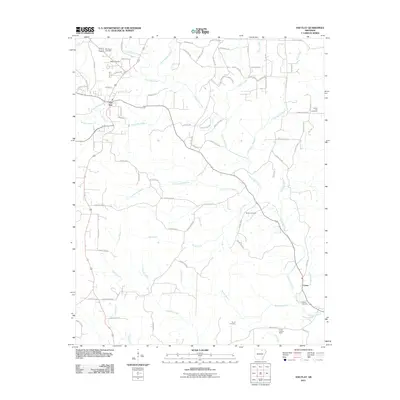 2011 Ash Flat2011 Print · USGSSharp County settlement patterns and rural life are well-documented here during the early twenty-first century. Genealogists and historians can trace family roots through several local burial grounds, including Old Baptist Cemetery, Shiloh Cemetery, and the Center Lookout Tower area.
 - 2011 Map of Sidney, 2011 Print
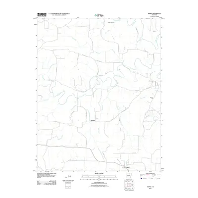 2011 Sidney2011 Print · USGSSharp County, Arkansas, is documented here in the early 21st century, showing the rural settlement patterns along the Strawberry River. Researchers can trace local lineage through Schales Cemetery and Yeager Cemetery or locate the community centers of Sidney and Needmore.
 - 2011 Map of Hardy, 2011 Print
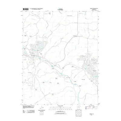 2011 Hardy2011 Print · USGSThe Sharp County foothills in the early twenty-first century are defined by the Spring River and numerous resort lakes. Genealogists can locate family sites at Walker Cemetery or Hall Cemetery while tracing growth in Hardy and Ozark Acres.
 - 2011 Map of Ravenden, 2011 Print
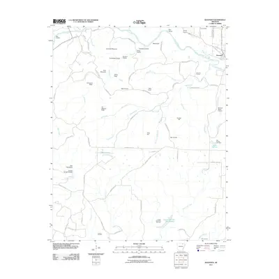 2011 Ravenden2011 Print · USGSLawrence County at the start of the 2010s reveals a rural landscape defined by the Spring River and numerous family cemeteries. Researchers can locate ancestral landmarks like Dail Cemetery, the settlement of Mount Olive, and the heights of Goat Shed Mountain.
 - 2011 Map of Wirth, 2011 Print
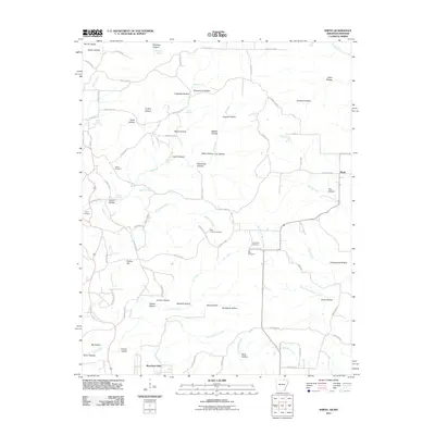 2011 Wirth2011 Print · USGSThe borderlands of Sharp County in the early twenty-first century reveal a rural landscape of winding hollows and family-named landmarks. Trace local history through sites like Wirth, Bethel Cemetery, and the intriguing Mine Hollow nestled along Big Creek.
 - 2011 Map of Poughkeepsie, 2011 Print
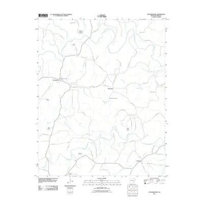 2011 Poughkeepsie2011 Print · USGSSharp County’s rural crossroads and river valleys are captured here in the early twenty-first century. Researchers can locate family landmarks such as Spotts Cemetery and Marvin Cemetery near the settlements of Poughkeepsie and Nelsonville.
 - 2011 Map of Williford, 2011 Print
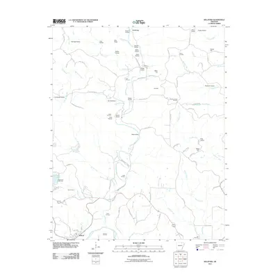 2011 Williford2011 Print · USGSThe hills around the Spring River in northeastern Arkansas are documented here in the early twenty-first century. Genealogists can trace family footprints across numerous sites including Bradford Chapel Cemetery, Ratliff Cemetery, and the northern settlement of Armstrong.
 - 2011 Map of Hardy NE, 2011 Print
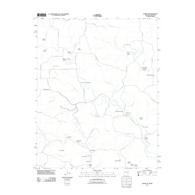 2011 Hardy NE2011 Print · USGSRandolph County's rural landscape is documented here in the early twenty-first century, showing a network of ridge roads and creek-side settlements. Genealogists can locate several family burial grounds, including McCollough Cemetery and Bellah Cemetery, along with landmarks like Perry Bluff.
 - 2011 Map of Stuart, 2011 Print
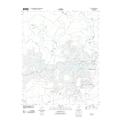 2011 Stuart2011 Print · USGSCherokee Village and its surrounding Ozark highlands are captured here during a period of significant recreational development. Genealogists and local historians can trace the intersection of modern growth with older landmarks like Taylor Cemetery, Slick Rock Ford, and Hidden Valley.
 - 2011 Map of Grange, 2011 Print
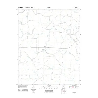 2011 Grange2011 Print · USGSSharp County, Arkansas, is documented here in the early 2000s, showcasing a landscape of small rural crossroads and family homesteads. Genealogists and local historians can trace legacy sites like Roe Cemetery, the settlement of Shelbyville, and the Charlotte Lookout Tower.
 - 2011 Map of Myron, 2011 Print
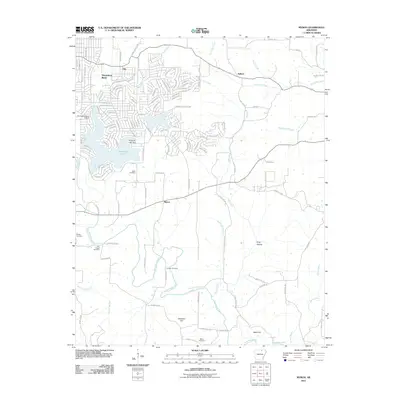 2011 Myron2011 Print · USGSHorseshoe Bend and the Strawberry River valley are captured here during a period of established residential growth and rural preservation. Researchers can trace family history through numerous burial grounds like Hills Chapel Cemetery, Godwin Cemetery, and Roberts Cemetery.
 - 2011 Map of Strawberry, 2011 Print
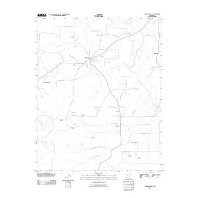 2011 Strawberry2011 Print · USGSLawrence County at the start of the 2010s reveals a quiet landscape of river-bend settlements and rural homesteads. Genealogists and local historians can trace family locations through numerous sites like Penn Cemetery, Mount Zion Cemetery, and the community of Saffell.
 - 2011 Map of Cave City, 2011 Print
 2011 Cave City2011 Print · USGSSharp County settlement and mining history come into focus in this early twenty-first-century survey of the Ozark foothills. Genealogists and researchers can locate numerous family-named landmarks and burial sites, including Palestine Cemetery, the Gray Mine, and Hickory Valley.
 - 2011 Map of Sandtown, 2011 Print
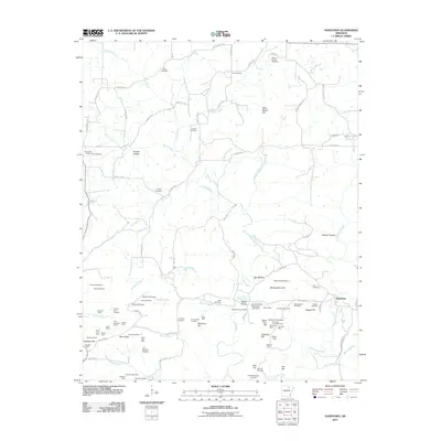 2011 Sandtown2011 Print · USGSIndependence County's rugged mining and agricultural landscape is captured here in the early twenty-first century. Genealogists and industrial historians can trace decades of work through the Klondike Mine, Sandtown settlement, and family plots like Kirk Cemetery.
 - 2014 Map of Strawberry, 2014 Print
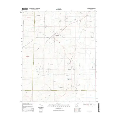 2014 Strawberry2014 Print · USGSThe rural river valleys of Lawrence County come to life in this detailed map of the Arkansas backcountry. Genealogists and historians can trace family roots through a dense network of burial sites like Pleasant Hill Cem, Ward Cem, and Ashby Cem.
 - 2014 Map of Sandtown, 2014 Print
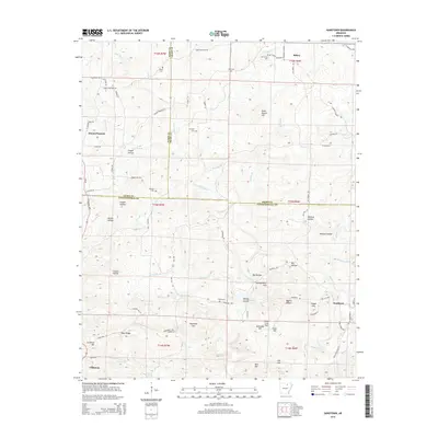 2014 Sandtown2014 Print · USGSThis survey of the Ozark foothills at the junction of three Arkansas counties reveals the rural settlement patterns of the early twenty-first century. Genealogists can locate several remote burial sites such as Conyers Cem and Mt Carmel Cem along the banks of Poke Bayou.
 - 2014 Map of Grange, 2014 Print
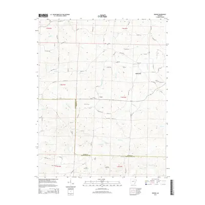 2014 Grange2014 Print · USGSSharp and Independence counties are captured here in the early twenty-first century, showing a rural landscape shaped by long-standing family settlements. Genealogists can locate several remote burial sites including Parsley Cem, Dawson Cem, and Cedar Grove Cem.
 - 2014 Map of Cave City, 2014 Print
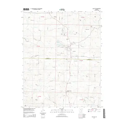 2014 Cave City2014 Print · USGSThe Sharp and Independence county line comes into focus in this mid-2010s survey of the Ozark foothills. Genealogists and researchers can locate numerous burial sites and small communities, from the namesake Cave City to Hickory Valley Cem and Maxville.
 - 2014 Map of Evening Shade, 2014 Print
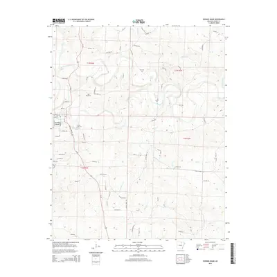 2014 Evening Shade2014 Print · USGSEvening Shade and its surrounding Sharp County landscape are documented here in the early twenty-first century. Genealogists can locate several historic burial grounds such as Lafferty Cem and Barnes Cem or trace family sites near The Backbone.
 - 2014 Map of Ravenden, 2014 Print
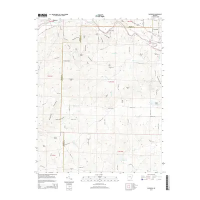 2014 Ravenden2014 Print · USGSThe northern Arkansas borderlands near Ravenden and Williford come into focus in the early twenty-first century as the Spring River winds through the hills. Researchers can trace family history at Opposition Cem or locate rural landmarks like Goat Shed Mtn and Buzzard Roost Canyon.
 - 2014 Map of Sitka, 2014 Print
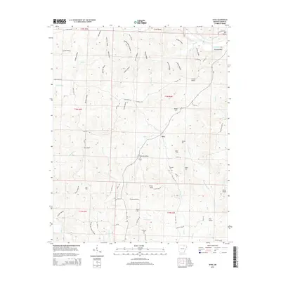 2014 Sitka2014 Print · USGSSharp County hill country in the early twenty-first century is defined by the crossroads at Sitka and the steep hollows near the Spring River. Genealogists can trace family names through local landmarks like Schales Cem, Hopewell Cem, and Hurricane Bluff.
Showing maps 1-25 of 54
Top cities of Sharp County
- Cave City historical maps
- Ash Flat historical maps
- Highland historical maps
- Hardy historical maps
- Evening Shade historical maps
- Sidney historical maps
See more
Frequently asked questions
- What are the different types of historical maps available for Sharp County?
- What is the oldest map of Sharp County?
- Where can I purchase historical maps of Sharp County for my home or office?
- Where can I download high-res historical maps of Sharp County?
- Are there historical topographic maps available for Sharp County?
- Is there historical aerial imagery available for Sharp County?
- Where are historical maps of Sharp County sourced from?