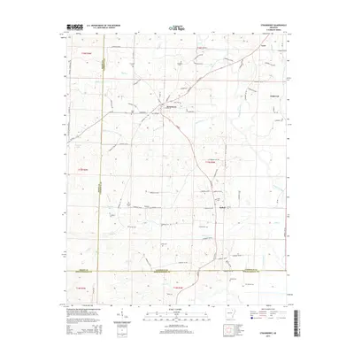
2014 Map of Strawberry
USGS Topo · Published 2014About this map
Strawberry and Lynn anchor this rural Lawrence County landscape, where the Strawberry River and its numerous tributaries like Steep Bank Cr and Caney Cr define the drainage patterns. The area is notable for its high density of family and community burial grounds, including Jerusalem Cem, Penn Cem, and the Willmuth Cem near Saffell. These small, scattered cemeteries often provide the only remaining markers of early homesteads and pioneer settlements in this portion of Arkansas.
Find a feature on this map
91 named features on this map. Tap any name to fly to it.
Don’t see what you’re looking for? This feature index may not catch every label — zoom into the map to look around manually.
Map Details
Editions of this 2014 Strawberry Map
This is the sole edition of this map. No revisions or reprints were ever made.
Other maps of this area

1932 · Strawberry
USGS Topo · 1:62,500

1934 · Powhatan
USGS Topo · 1:62,500

1935 · Powhatan
USGS Topo · 1:62,500

1935 · Alicia
USGS Topo · 1:62,500

1935 · Strawberry
USGS Topo · 1:62,500

1941 · Strawberry
USGS Topo · 1:62,500

1953 · Memphis
USGS Topo · 1:250,000

1954 · Charlotte
USGS Topo · 1:24,000

1955 · Strawberry
USGS Topo · 1:24,000

1955 · Cord
USGS Topo · 1:24,000