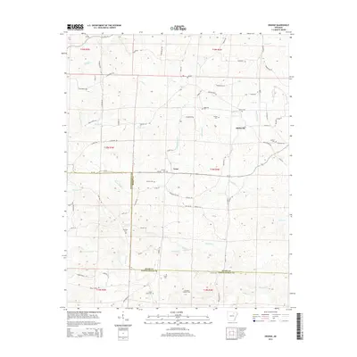
2014 Map of Grange
USGS Topo · Published 2014About this map
Shelbyville and Aetna anchor the local geography in this part of North Central Arkansas, where the landscape is defined by the winding tributaries of the Cache Fork and Devils Fork. The terrain is characterized by a dense network of family-named creeks and branches, including Bold Spring Br and Wilkerson Br, which have shaped the settlement patterns of Sharp Co and Independence Co.
Find a feature on this map
80 named features on this map. Tap any name to fly to it.
Don’t see what you’re looking for? This feature index may not catch every label — zoom into the map to look around manually.
Map Details
Editions of this 2014 Grange Map
This is the sole edition of this map. No revisions or reprints were ever made.
Other maps of this area

1890 · Batesville
USGS Topo · 1:125,000

1891 · Batesville
USGS Topo · 1:125,000

1932 · Strawberry
USGS Topo · 1:62,500

1935 · Strawberry
USGS Topo · 1:62,500

1941 · Strawberry
USGS Topo · 1:62,500

1943 · Cave City
USGS Topo · 1:31,680

1943 · Sulphur Rock
USGS Topo · 1:31,680

1953 · Memphis
USGS Topo · 1:250,000

1954 · Charlotte
USGS Topo · 1:24,000

1955 · Strawberry
USGS Topo · 1:24,000