2020s Maps of White County, Arkansas
Explore 54 historic maps of White County from the 2020s. These maps offer a rare glimpse into what life looked like during the 2020s — showing old roads, neighborhoods, homes, and landmarks that have changed or disappeared over time.
Whether you're researching your family's past, planning a metal detecting trip, or studying how White County's landscape evolved across the 2020s, these high-resolution maps are a powerful tool for exploring the history of this region.
- Focus on a specific era: All maps on this page are from the 2020s, giving you a focused view of this time period.
- See what’s changed: Compare century-old streets, trails, and buildings to today's modern landscape using overlays and satellite layers.
- Research with precision: Use these maps for genealogy, historical research, land use analysis, or educational projects.
- View, download, or print: Maps are fully viewable online in high resolution, and can be downloaded or printed for your own records.
Start exploring White County's history through authentic maps from the 2020s. This is your window into the past.
White County, AR maps
(54)- 2020 Map of West Point, 2020 Print
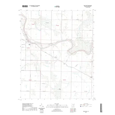 2020 West Point2020 Print · USGSThe riverbottoms of White County come to life in this recent survey of the Little Red River corridor. Trace the connections between rural communities like West Point and Andrews, or locate family landmarks like Riverside Cemetery and Hogpen Ridge.
 - 2020 Map of Georgetown, 2020 Print
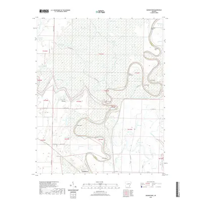 2020 Georgetown2020 Print · USGSThe confluence of the White River and Little Red River dominates this modern-day survey of the Arkansas bottomlands. Researchers can trace the river's path through Devils Elbow and Nine Mile Bend, or locate historic sites like Georgetown and the Nelson Cem.
 - 2020 Map of Augusta SW, 2020 Print
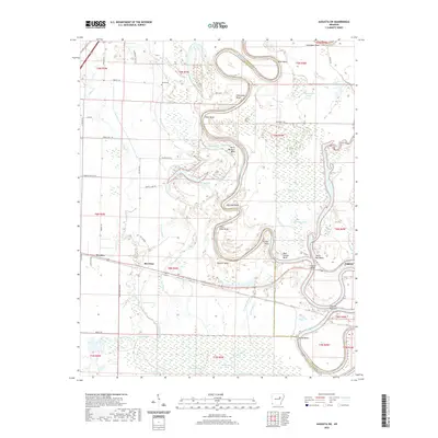 2020 Augusta SW2020 Print · USGSThe riverfront of Augusta and the surrounding bottomlands are documented here during the early twenty-first century. Researchers can trace family history at Smith Cem or explore the shifting banks of the White River at Augusta Narrows and Taylor Bay.
 - 2020 Map of Gregory SW, 2020 Print
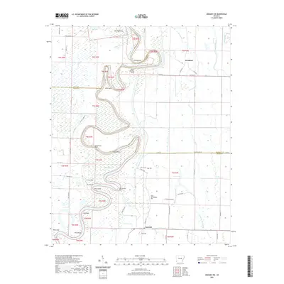 2020 Gregory SW2020 Print · USGSThe river bottomlands where White, Woodruff, and Prairie counties meet are captured here in the contemporary era. Trace family landmarks and water-bound settlements like Georgetown, McClelland, and Sand Hill, alongside Kings Cem and Smokehouse Bluff.
 - 2020 Map of Judsonia, 2020 Print
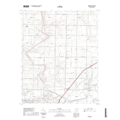 2020 Judsonia2020 Print · USGSWhite County settlements along the Little Red River are documented here in the early twenty-first century. Genealogists can trace family burial sites at Holly Springs Cem and Knox Cem or locate the White County Courthouse.
 - 2020 Map of Pangburn, 2020 Print
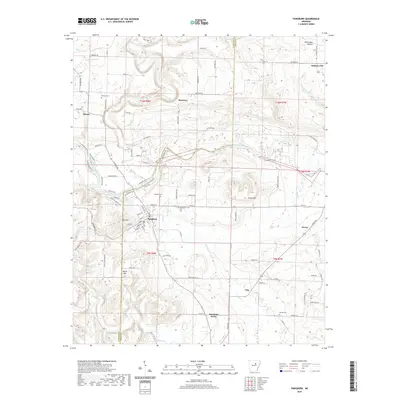 2020 Pangburn2020 Print · USGSThe Little Red River winds through the White County foothills in this recent survey. Genealogists and local historians can locate rural settlements like McJester and Hiram, alongside family landmarks such as Henderson Cem and Mt Zion.
 - 2020 Map of Letona, 2020 Print
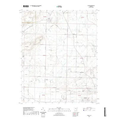 2020 Letona2020 Print · USGSThe rural uplands of White County are documented here in recent years as the northern outskirts of Searcy expand. Researchers can locate family landmarks like New Hope Cemetery, the old community of Letona, and the high ground of Mt Pisgah.
 - 2020 Map of Jasmine, 2020 Print
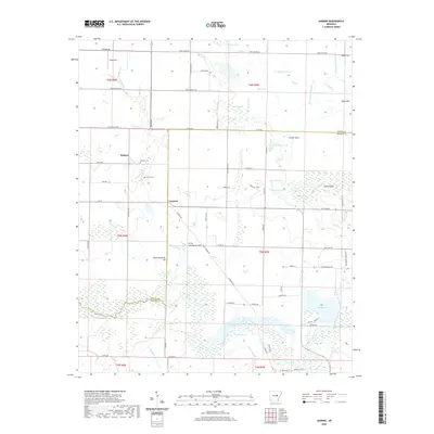 2020 Jasmine2020 Print · USGSThe rural borderlands of White and Prairie counties are documented here in recent decades, showing a landscape defined by bottomland bayous and ponds. Researchers can locate family landmarks like Belcher Cem and Griffin Cem or trace the waterways of Bayou Des Arc and Lake Des Arc.
 - 2020 Map of Augusta NE, 2020 Print
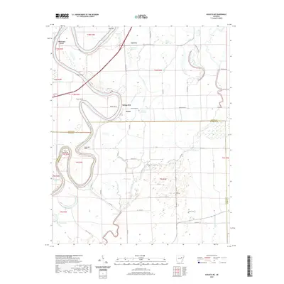 2020 Augusta NE2020 Print · USGSThe river-bottom lands of Jackson and Woodruff counties are revealed here in the 2020s, dominated by the winding White River. Genealogists and researchers can locate the Antioch Cem, Deitz School, and the settlement at Old Grand Glaise.
 - 2020 Map of Pleasant Plains, 2020 Print
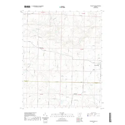 2020 Pleasant Plains2020 Print · USGSPleasant Plains and the Independence-White County border region are captured here in the contemporary era. Researchers can trace rural lineages through local landmarks like Pleasant Plains Cemetery, Old Union Cemetery, and the settlement at Roosevelt.
 - 2020 Map of Huff, 2020 Print
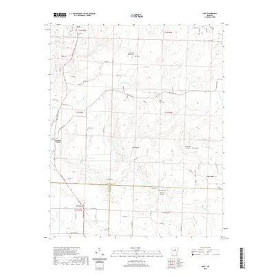 2020 Huff2020 Print · USGSThe foothills of the Ozarks meet the county lines of Independence and White in the late 2010s. Researchers can locate numerous family burial sites including Putman Cem and Goad Cem, or trace the drainage of Departee Creek through Wildcat Bluff.
 - 2020 Map of Sidon, 2020 Print
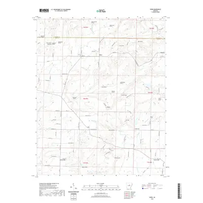 2020 Sidon2020 Print · USGSWhite and Cleburne Counties are seen here in recent years, showcasing a rural landscape of ridges and deep hollows. Researchers can locate established community hubs like Sidon and Joy, as well as family-named sites such as Sidon Cem and Murdough Hollow.
 - 2020 Map of Velvet Ridge, 2020 Print
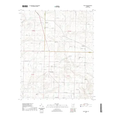 2020 Velvet Ridge2020 Print · USGSThe borderlands of Jackson and White Counties are captured here in the contemporary era, showing a landscape of small crossroads settlements and family cemeteries. Genealogists and researchers can trace local roots through Bethlehem Cemetery and Smith Cemetery, or locate the rural communities of Velvet Ridge and Denmark.
 - 2020 Map of Steprock, 2020 Print
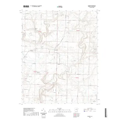 2020 Steprock2020 Print · USGSThis rural portion of White County shows the landscape as it appeared in the early twenty-first century, centered on the Little Red River. Researchers can locate family landmarks like Philadelphia Cem, Morris Cem, and the old crossing at Fisher Bridge.
 - 2020 Map of Floral, 2020 Print
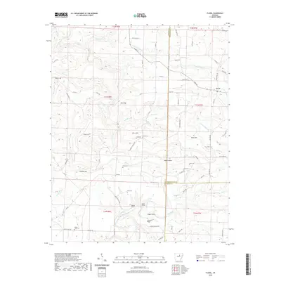 2020 Floral2020 Print · USGSFloral and the surrounding Independence County uplands are documented here in the early twenty-first century. Researchers can locate numerous local burial sites like Warren Cem and Mason Cem or trace the geography of Warren Mtn.
 - 2020 Map of McRae, 2020 Print
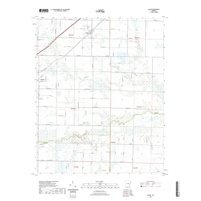 2020 McRae2020 Print · USGSWhite County at the start of the 2020s shows a landscape of established towns and complex waterways. Genealogists and researchers can trace family roots through several local burial grounds including Cheek Cem, Bass Cem, and Green Cem.
 - 2020 Map of Beebe, 2020 Print
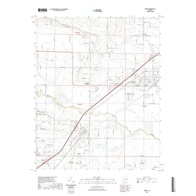 2020 Beebe2020 Print · USGSThe growing communities along the White and Lonoke county line are captured here in the early twenty-first century. Researchers can trace the layout of Beebe and Ward, locating landmarks like Apple Hill Cem and the Arkansas State University Beebe campus.
 - 2020 Map of Walker, 2020 Print
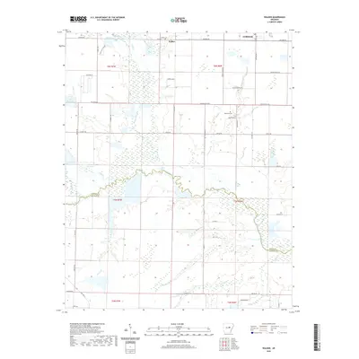 2020 Walker2020 Print · USGSWhite and Prairie counties meet along the winding waters of Bayou Des Arc in this contemporary look at central Arkansas. Genealogists can locate family sites near Griffithville, Walker Cem, and along the banks of Cypress Bayou.
 - 2020 Map of Floyd, 2020 Print
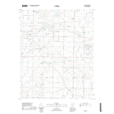 2020 Floyd2020 Print · USGSWhite County, Arkansas, is captured here in the early twenty-first century, showing the rural communities and undulating hills north of Beebe. Researchers can locate family landmarks like Quattlebaum Cem or trace the drainage of Bayou Des Arc near Peanut Ridge.
 - 2020 Map of Rose Bud, 2020 Print
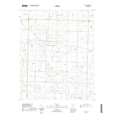 2020 Rose Bud2020 Print · USGSSpanning the borders of White, Cleburne, and Faulkner counties, this survey captures the rural character of the Arkansas hills in 2020. Local historians can trace family-named landmarks and rural burial grounds such as Rose Bud Cem, Schoolhouse Hill, and Starkey Cem.
 - 2020 Map of Mount Vernon, 2020 Print
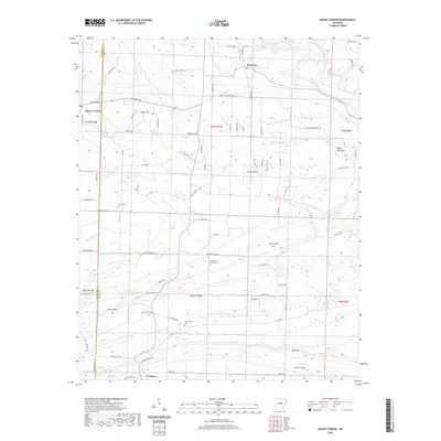 2020 Mount Vernon2020 Print · USGSMount Vernon and Romance are situated along the Faulkner and White County line in this modern study of the central Arkansas uplands. Researchers can pinpoint family history sites like Hammons Chapel Cem or trace terrain at Black Jack Mtn and Cadron Ridge.
 - 2020 Map of Mountain Springs, 2020 Print
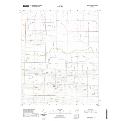 2020 Mountain Springs2020 Print · USGSThe rural landscape between El Paso and Cabot is captured here in the early twenty-first century as suburban growth meets traditional family lands. Trace local history through numerous burial sites like Mountain Springs Cemetery and landmarks such as Round Mtn or the Cypress Creek Airport.
 - 2020 Map of Augusta, 2020 Print
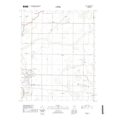 2020 Augusta2020 Print · USGSThe White River lowlands of Woodruff County come into focus in this modern era, documenting the city of Augusta and its surrounding rural townships. Researchers can trace local heritage through numerous burial sites like Mount Olive Cem and Union Cem, or locate the historic Woodruff County Courthouse.
 - 2020 Map of Bald Knob, 2020 Print
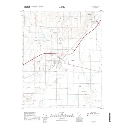 2020 Bald Knob2020 Print · USGSWhite County's rail and road networks intersect at Bald Knob in this modern survey of the Arkansas Delta's edge. Genealogists and local historians can trace family landmarks like Prince Cem, Gilbert Cem, and the rural community of Liberty Valley.
 - 2020 Map of Bradford, 2020 Print
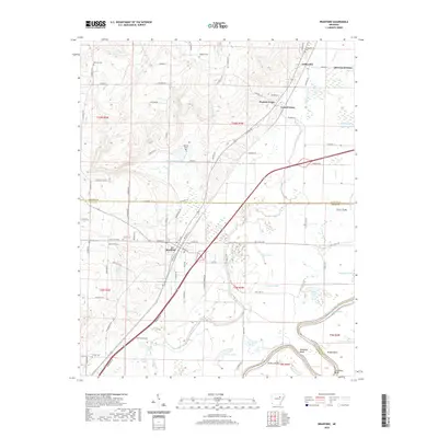 2020 Bradford2020 Print · USGSThe White County riverlands come into focus in 2020, showing the relationship between the town of Bradford and the winding White River. Researchers can trace local history through numerous rural burial sites like Hickman Cem and the river-bottom settlements of Grand Glaise and Possum Grape.
Showing maps 1-25 of 54
Top cities of White County
- Searcy historical maps
- Beebe historical maps
- Bald Knob historical maps
- Judsonia historical maps
- Kensett historical maps
- Bradford historical maps
See more
Frequently asked questions
- What are the different types of historical maps available for White County?
- What is the oldest map of White County?
- Where can I purchase historical maps of White County for my home or office?
- Where can I download high-res historical maps of White County?
- Are there historical topographic maps available for White County?
- Is there historical aerial imagery available for White County?
- Where are historical maps of White County sourced from?