2000s (21st Century) Maps of Markleeville, California
Explore 8 historic maps of Markleeville from the 2000s (21st Century). These maps offer a rare glimpse into what life looked like during the 2000s — showing old roads, neighborhoods, homes, and landmarks that have changed or disappeared over time.
Whether you're researching your family's past, planning a metal detecting trip, or studying how Markleeville's landscape evolved across the 2000s, these high-resolution maps are a powerful tool for exploring the history of this region.
- Focus on a specific era: All maps on this page are from the 2000s, giving you a focused view of this time period.
- See what’s changed: Compare century-old streets, trails, and buildings to today's modern landscape using overlays and satellite layers.
- Research with precision: Use these maps for genealogy, historical research, land use analysis, or educational projects.
- View, download, or print: Maps are fully viewable online in high resolution, and can be downloaded or printed for your own records.
Start exploring Markleeville's history through authentic maps from the 2000s. This is your window into the past.
Markleeville, CA maps
(8)- 2012 Map of Markleeville, 2012 Print
 2012 Markleeville2012 Print · USGSCovers Markleeville, including Alpine County, United States, and other nearby areas
 - 2012 Map of Carson Pass, 2012 Print
 2012 Carson Pass2012 Print · USGSCovers Markleeville, including Alpine County, United States, and other nearby areas
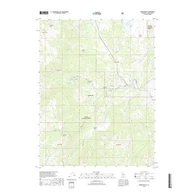
 - 2015 Map of Markleeville, 2015 Print
 2015 Markleeville2015 Print · USGSCovers Markleeville, including Alpine County, United States, and other nearby areas
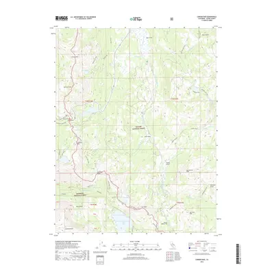
 - 2015 Map of Carson Pass, 2015 Print
 2015 Carson Pass2015 Print · USGSCovers Markleeville, including Alpine County, United States, and other nearby areas
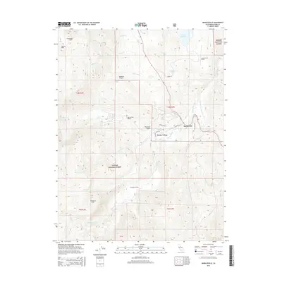
 - 2018 Map of Markleeville, 2018 Print
 2018 Markleeville2018 Print · USGSCovers Markleeville, including Alpine County, United States, and other nearby areas
 - 2018 Map of Carson Pass, 2018 Print
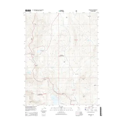
 2018 Carson Pass2018 Print · USGSCovers Markleeville, including Alpine County, United States, and other nearby areas
 - 2021 Map of Carson Pass, 2021 Print
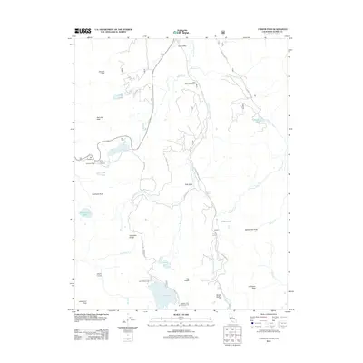
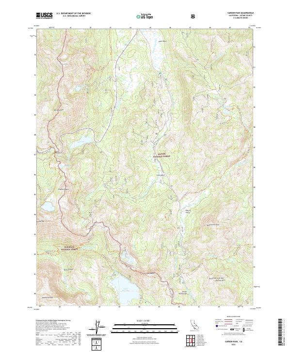 2021 Carson Pass2021 Print · USGSThis high-altitude section of the Sierra Nevada near the California-Nevada border is documented in the early twenty-first century. Researchers can trace the path of the Pacific Crest National Scenic Trl past landmarks like The Nipple and through the sweeping meadows of Hope Valley.
 - 2022 Map of Markleeville, 2022 Print
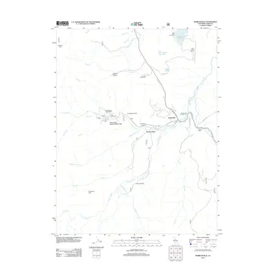
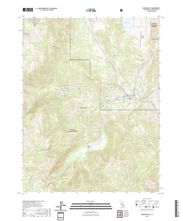 2022 Markleeville2022 Print · USGSMarkleeville and the high Sierra peaks come into focus during this twenty-first-century survey of the California mountains. Researchers can locate civic landmarks like the Superior Court and recreational sites such as Grover Hot Springs.
End of results
Showing maps 1-8 of 8
Top cities near Markleeville
- South Lake Tahoe historical maps
- Meyers historical maps
- Ruhenstroth historical maps
- Carter Springs historical maps
- Alpine Village historical maps
- Mesa Vista historical maps
See more
Top neighborhoods of Markleeville
Frequently asked questions
- What are the different types of historical maps available for Markleeville?
- What is the oldest map of Markleeville?
- Where can I purchase historical maps of Markleeville for my home or office?
- Where can I download high-res historical maps of Markleeville?
- Are there historical topographic maps available for Markleeville?
- Is there historical aerial imagery available for Markleeville?
- Where are historical maps of Markleeville sourced from?