Old Maps of Markleeville, California for Metal Detecting
Plan your next treasure hunt with 20 historic maps of Markleeville. Find old homesites, ghost towns, trails, and gathering spots that may be lost to time — perfect for identifying promising metal detecting locations.
- Locate forgotten sites: Uncover places like long-lost settlements, abandoned rail lines, or gathering spots.
- Plan better hunts: Use map overlays combined with LiDAR or satellite views to narrow in on historically rich areas.
- Made for detectorists: Thousands of hobbyists use these maps to discover relics, coins, and hidden history.
Use these historic maps to boost your research and find new opportunities beneath the surface of Markleeville.
Markleeville, CA maps
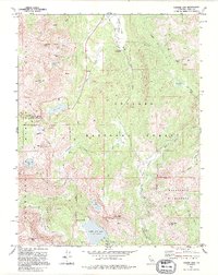
(20)- 1889 Map of Markleeville, 1954 Print
 1889 Markleeville1954 Print · USGSThe high Sierra and Carson Valley come alive in the late nineteenth century, showing a network of stage stops and mountain camps. Researchers can trace early settlements and family landmarks such as Markleeville, Walleys Hot Springs, and Tim Smiths.
 - 1891 Map of Markleeville
 1891 Markleeville1891 Print · USGSThe High Sierra and Carson Valley frontier come alive in the late nineteenth century, showing the rugged borderlands of California and Nevada. Researchers can trace early waystations and family outposts like Twelve Mile House, Hangman's Bridge, and Walleys Hot Springs.
 - 1893 Map of Markleeville
 1893 Markleeville1893 Print · USGSThe high Sierra and Carson Valley come alive in the 1890s, capturing the early settlements and mountain passes of the California-Nevada borderlands. Genealogists and historians can trace pioneer landmarks like Walleys Hot Springs, Twelve Mile House, and Sierra House during a time of early ranching and transit.9 unique versions available
 - 1948 Map of Walker Lake
 1948 Walker Lake1948 Print · USGSThe high desert of Nevada and the eastern Sierra Nevada are captured just after the war as mining and ranching shaped the local economy. Genealogists can trace family connections to centers like Hawthorne and Mina or locate the historic Rockland Mines and Aurora.2 unique versions available
 - 1956 Map of Markleeville, 1959 Print
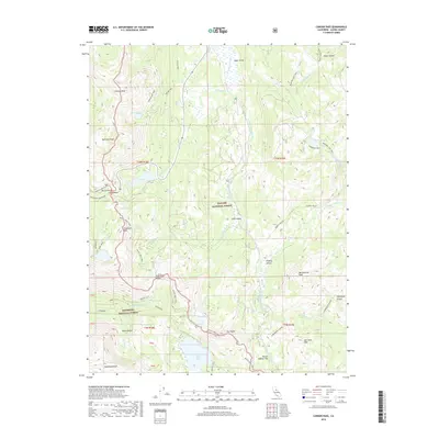
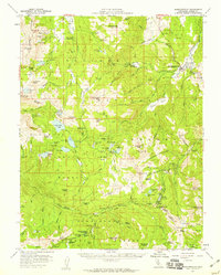 1956 Markleeville1959 Print · USGSThe Alpine County high country is mapped in the mid-1950s, showing a landscape of mining claims and mountain passes. Trace the history of the Silver Mountain district near Silver Mtn (Site) or locate landmarks like Grovers Hot Springs and Hangmans Bridge.4 unique versions available
 - 1957 Map of Walker Lake
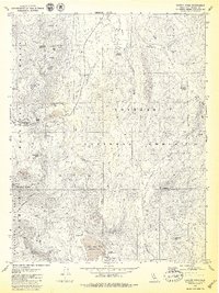
 1957 Walker Lake1957 Print · USGSThe Nevada-California borderlands in the mid-1950s show a rugged network of mining camps and river-valley towns centered around Walker Lake. Researchers can trace the Southern Pacific rail line and locate historical sites like Bodie, Sodaville, and the Leviathan Sulphur Mine.4 unique versions available
 - 1962 Map of Walker Lake
 1962 Walker Lake1962 Print · USGSThe high desert of western Nevada and the Sierra Nevada crest meet in this mid-century study of the Eastern Sierra frontier. Researchers can trace the Southern Pacific rail lines connecting Hawthorne to remote mining outposts like Bodie, Aurora, and Mina.
 - 1964 Map of Walker Lake
 1964 Walker Lake1964 Print · USGSThe high desert and the Sierra Nevada peaks come together in the mid-1960s, showing a landscape defined by mining, military installations, and vast wilderness. Genealogists and historians can trace the remnants of old mining camps at Bodie or Candelaria and follow the Southern Pacific rail lines.2 unique versions available
 - 1979 Map of Carson Pass
 1979 Carson Pass1979 Print · USGSHigh in the Sierra Nevada during the late seventies, this map captures the intersection of early pioneer history and alpine wilderness. Researchers can trace the legacy of mountain travel through the Snowshoe Thompson-Kit Carson monuments and remote sites like the Alpine Mine or a solitary Grave.3 unique versions available
 - 1979 Map of Markleeville, 1980 Print
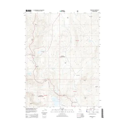
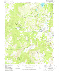 1979 Markleeville1980 Print · USGSMarkleeville and the surrounding Alpine County wilderness are documented here in the late seventies. Researchers can trace the local river-and-road network through Hangmans Bridge, Grover Hot Springs State Park, and the East Fork Carson River.2 unique versions available
 - 1985 Map of Smith Valley
 1985 Smith Valley1985 Print · USGSThe Nevada-California borderlands are captured here in the mid-1980s, showcasing the high-desert valleys and Sierra peaks. Trace the mining history at Leviathan Mine or explore the early communities of Minden, Wellington, and the Washoe Indian Res.2 unique versions available
 - 1992 Map of Carson Pass, 1994 Print
 1992 Carson Pass1994 Print · USGSThe high Sierra crest in Alpine County reached a balance of recreation and historical memory by the early nineties. Genealogists and hikers can locate the Snowshoe Thompson monument, the Alpine Mine, and the grave near the pass.2 unique versions available
 - 2012 Map of Markleeville, 2012 Print
 2012 Markleeville2012 Print · USGSCovers Markleeville, including Alpine County, United States, and other nearby areas
 - 2012 Map of Carson Pass, 2012 Print
 2012 Carson Pass2012 Print · USGSCovers Markleeville, including Alpine County, United States, and other nearby areas
 - 2015 Map of Markleeville, 2015 Print
 2015 Markleeville2015 Print · USGSCovers Markleeville, including Alpine County, United States, and other nearby areas
 - 2015 Map of Carson Pass, 2015 Print
 2015 Carson Pass2015 Print · USGSCovers Markleeville, including Alpine County, United States, and other nearby areas
 - 2018 Map of Markleeville, 2018 Print
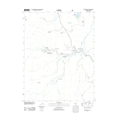
 2018 Markleeville2018 Print · USGSCovers Markleeville, including Alpine County, United States, and other nearby areas
 - 2018 Map of Carson Pass, 2018 Print
 2018 Carson Pass2018 Print · USGSCovers Markleeville, including Alpine County, United States, and other nearby areas
 - 2021 Map of Carson Pass, 2021 Print
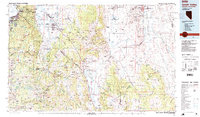
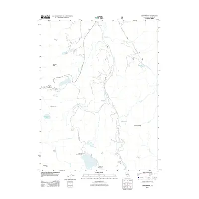
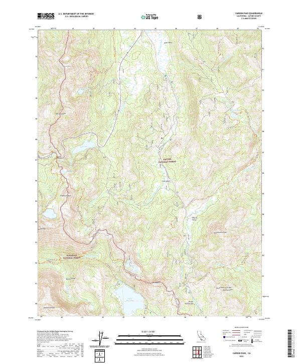 2021 Carson Pass2021 Print · USGSThis high-altitude section of the Sierra Nevada near the California-Nevada border is documented in the early twenty-first century. Researchers can trace the path of the Pacific Crest National Scenic Trl past landmarks like The Nipple and through the sweeping meadows of Hope Valley.
 - 2022 Map of Markleeville, 2022 Print
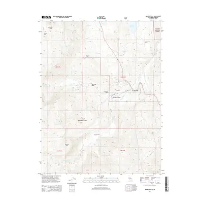
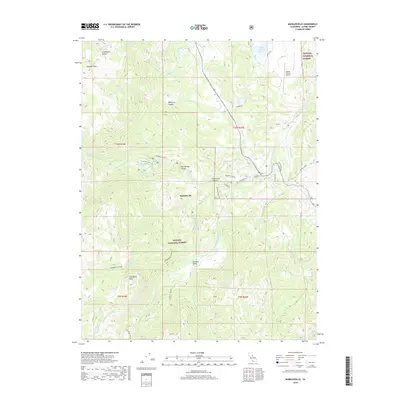
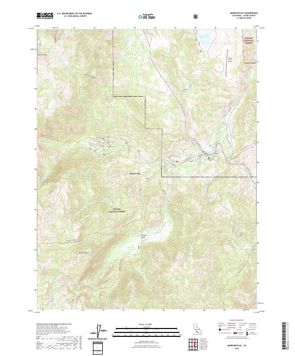 2022 Markleeville2022 Print · USGSMarkleeville and the high Sierra peaks come into focus during this twenty-first-century survey of the California mountains. Researchers can locate civic landmarks like the Superior Court and recreational sites such as Grover Hot Springs.
End of results
Showing maps 1-20 of 20
Top cities near Markleeville
- South Lake Tahoe historical maps
- Meyers historical maps
- Ruhenstroth historical maps
- Carter Springs historical maps
- Alpine Village historical maps
- Mesa Vista historical maps
See more
Top neighborhoods of Markleeville
Frequently asked questions
- What are the different types of historical maps available for Markleeville?
- What is the oldest map of Markleeville?
- Where can I purchase historical maps of Markleeville for my home or office?
- Where can I download high-res historical maps of Markleeville?
- Are there historical topographic maps available for Markleeville?
- Is there historical aerial imagery available for Markleeville?
- Where are historical maps of Markleeville sourced from?