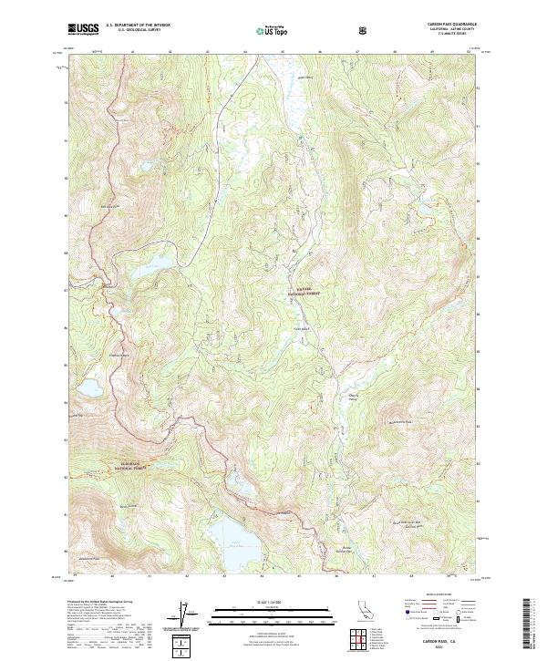
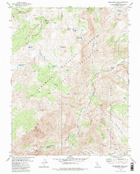
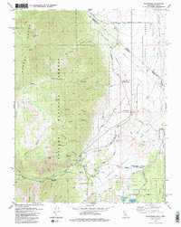
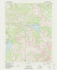
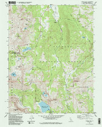
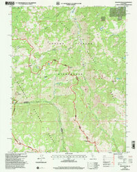
2021 Map of Carson Pass
USGS Topo · Published 2021About this map
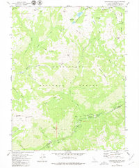
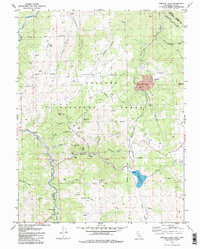
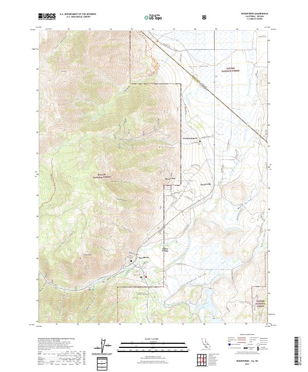
Carson Pass serves as a primary high-altitude crossing point through this corner of the Toiyabe National Forest and Eldorado National Forest. The landscape is defined by the high-elevation flats of Hope Valley, Faith Valley, and Charity Valley, which sit between prominent summits like Stevens Peak and Red Lake Peak. The hydrography of the region is centered on the headwaters of the W Fork Carson River and several alpine water bodies including Red Lake, Upper Blue Lake, and the high-altitude Crater Lake.
Find a feature on this map
54 named features on this map. Tap any name to fly to it.
Don’t see what you’re looking for? This feature index may not catch every label — zoom into the map to look around manually.
Map Details
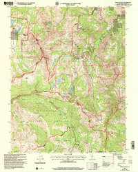
Editions of this 2021 Carson Pass Map
This is the sole edition of this map. No revisions or reprints were ever made.
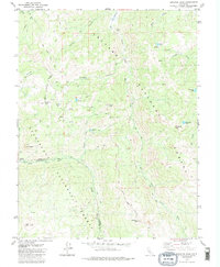
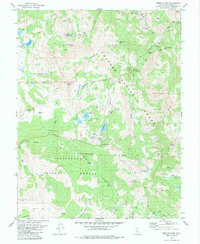
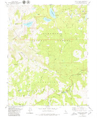
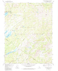
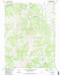
Historical Maps of Markleeville Through Time
30 maps found
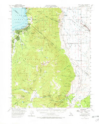
1956 Freel Peak
Alpine County, CA
1979 Caples Lake
Alpine County, CA
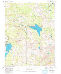
1979 Carson Pass
Alpine County, CA
1979 Dardanelles Cone
Alpine County, CA
1979 Disaster Peak
Alpine County, CA
1979 Ebbetts Pass
Alpine County, CA
1979 Heenan Lake
Alpine County, CA
1979 Mokelumne Peak
Alpine County, CA
1979 Pacific Valley
Alpine County, CA
1979 Spicer Meadow Res
Alpine County, CA
1979 Wolf Creek
Alpine County, CA
1979 Woodfords
Alpine County, CA
1992 Caples Lake
Alpine County, CA
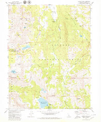
1992 Carson Pass
Alpine County, CA
2001 Dardanelles Cone
Alpine County, CA
2001 Disaster Peak
Alpine County, CA
2001 Ebbetts Pass
Alpine County, CA
2001 Pacific Valley
Alpine County, CA
2001 Spicer Meadow Reservoir
Alpine County, CA
2021 Carson Pass
Alpine County, CA
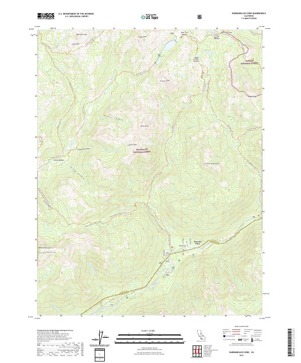
2021 Dardanelles Cone
Alpine County, CA
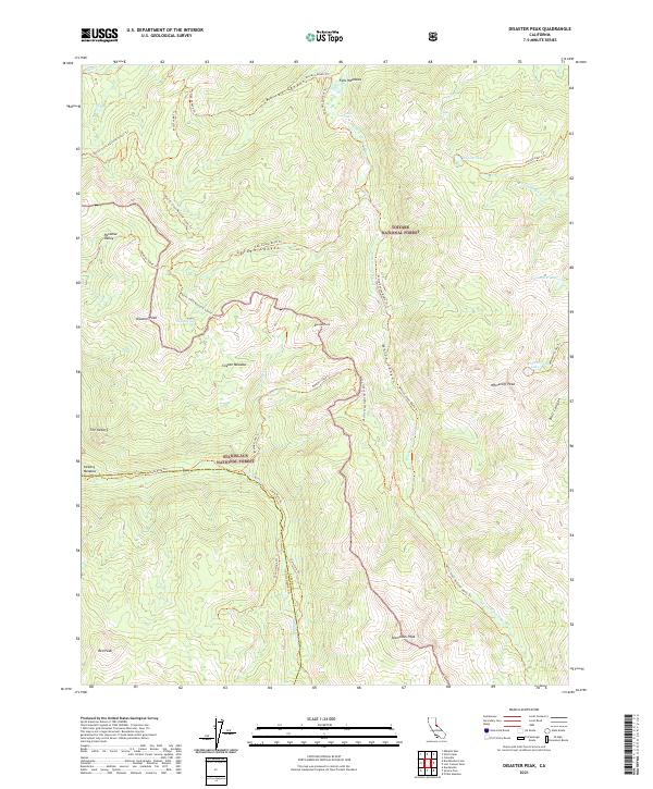
2021 Disaster Peak
Alpine County, CA
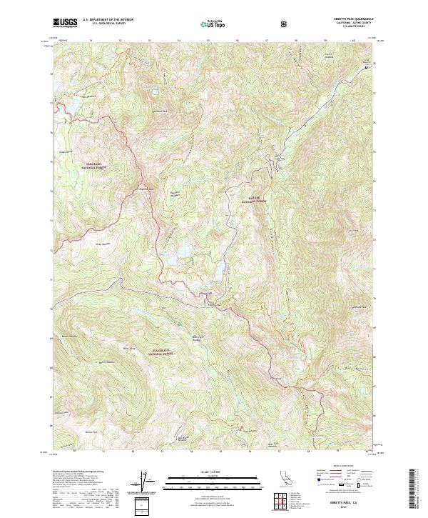
2021 Ebbetts Pass
Alpine County, CA
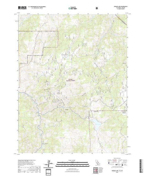
2021 Heenan Lake
Alpine County, CA
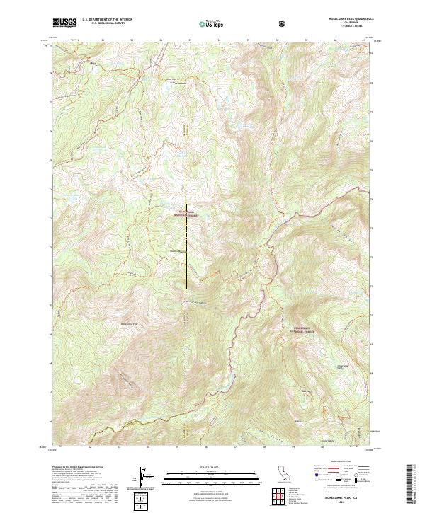
2021 Mokelumne Peak
Alpine County, CA
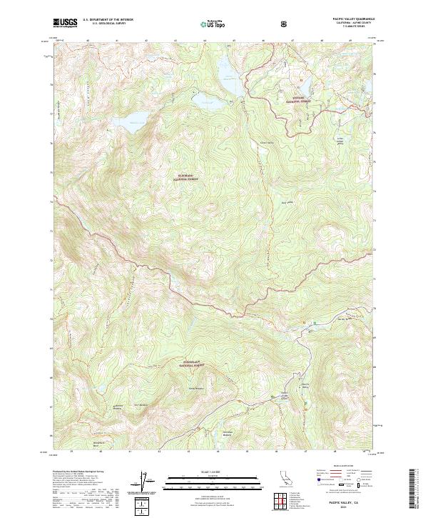
2021 Pacific Valley
Alpine County, CA
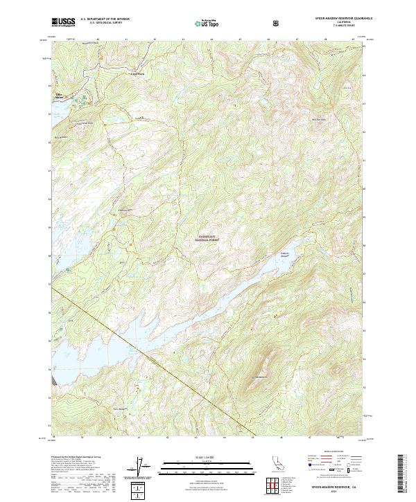
2021 Spicer Meadow Reservoir
Alpine County, CA
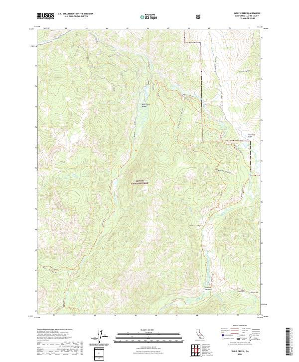
2021 Wolf Creek
Alpine County, CA
2021 Woodfords
Alpine County, CA

2022 Caples Lake
Alpine County, CA