2000s (21st Century) Maps of Chico, California
Explore 20 historic maps of Chico from the 2000s (21st Century). These maps offer a rare glimpse into what life looked like during the 2000s — showing old roads, neighborhoods, homes, and landmarks that have changed or disappeared over time.
Whether you're researching your family's past, planning a metal detecting trip, or studying how Chico's landscape evolved across the 2000s, these high-resolution maps are a powerful tool for exploring the history of this region.
- Focus on a specific era: All maps on this page are from the 2000s, giving you a focused view of this time period.
- See what’s changed: Compare century-old streets, trails, and buildings to today's modern landscape using overlays and satellite layers.
- Research with precision: Use these maps for genealogy, historical research, land use analysis, or educational projects.
- View, download, or print: Maps are fully viewable online in high resolution, and can be downloaded or printed for your own records.
Start exploring Chico's history through authentic maps from the 2000s. This is your window into the past.
Chico, CA maps
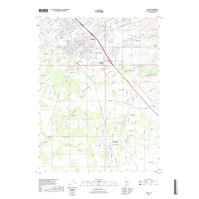
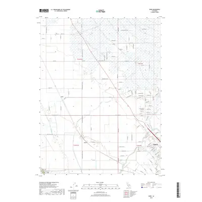
(20)- 2012 Map of Nord, 2012 Print
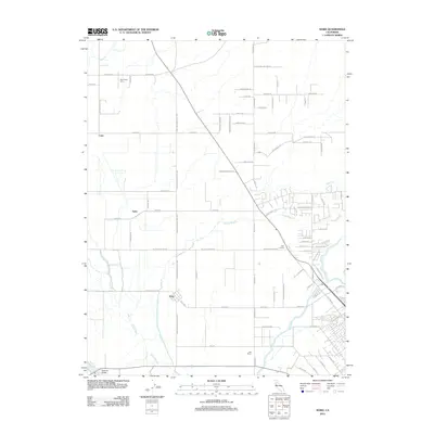 2012 Nord2012 Print · USGSCovers Chico, including Nord, Cana, and other nearby areas
 - 2012 Map of Ord Ferry, 2012 Print
 2012 Ord Ferry2012 Print · USGSCovers Chico, including Durham, Hamilton City, and other nearby areas
 - 2012 Map of Richardson Springs, 2012 Print
 2012 Richardson Springs2012 Print · USGSCovers Chico, including Richardson Springs, Butte County, and other nearby areas
 - 2012 Map of Chico, 2012 Print
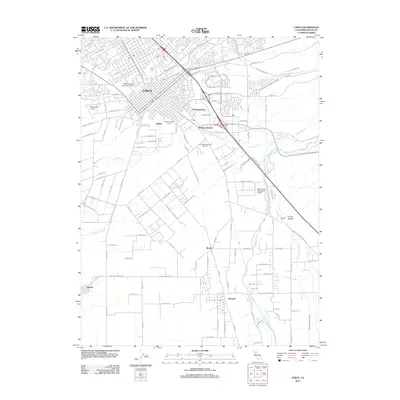 2012 Chico2012 Print · USGSCovers Chico, including Durham, Dayton, and other nearby areas
 - 2012 Map of Paradise West, 2012 Print
 2012 Paradise West2012 Print · USGSCovers Chico, including Paradise, Centerville, and other nearby areas
 - 2015 Map of Paradise West, 2015 Print
 2015 Paradise West2015 Print · USGSCovers Chico, including Paradise, Centerville, and other nearby areas
 - 2015 Map of Ord Ferry, 2015 Print
 2015 Ord Ferry2015 Print · USGSCovers Chico, including Durham, Hamilton City, and other nearby areas
 - 2015 Map of Richardson Springs, 2015 Print
 2015 Richardson Springs2015 Print · USGSCovers Chico, including Richardson Springs, Butte County, and other nearby areas
 - 2015 Map of Nord, 2015 Print
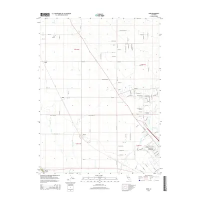 2015 Nord2015 Print · USGSCovers Chico, including Nord, Cana, and other nearby areas
 - 2015 Map of Chico, 2015 Print
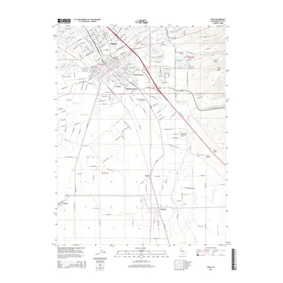 2015 Chico2015 Print · USGSCovers Chico, including Durham, Dayton, and other nearby areas
 - 2018 Map of Ord Ferry, 2018 Print
 2018 Ord Ferry2018 Print · USGSCovers Chico, including Durham, Hamilton City, and other nearby areas
 - 2018 Map of Paradise West, 2018 Print
 2018 Paradise West2018 Print · USGSCovers Chico, including Paradise, Centerville, and other nearby areas
 - 2018 Map of Chico, 2018 Print
 2018 Chico2018 Print · USGSCovers Chico, including Durham, Dayton, and other nearby areas
 - 2018 Map of Nord, 2018 Print
 2018 Nord2018 Print · USGSCovers Chico, including Nord, Cana, and other nearby areas
 - 2018 Map of Richardson Springs, 2018 Print
 2018 Richardson Springs2018 Print · USGSCovers Chico, including Richardson Springs, Butte County, and other nearby areas
 - 2021 Map of Chico, 2021 Print
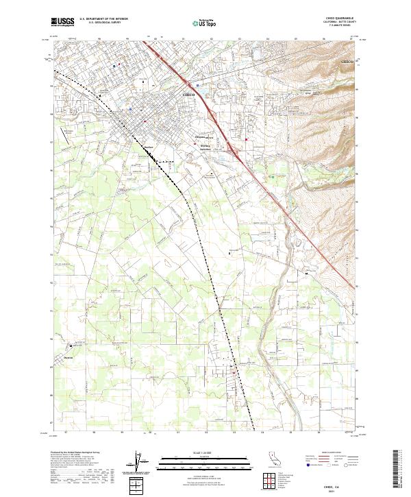 2021 Chico2021 Print · USGSThe northern Sacramento Valley thrives in the early twenty-first century, centered on the growing university town of Chico. Genealogists and historians can trace the foundations of local heritage at the Mechoopda Tribal Cem, Dayton Cem, and the historic industrial hub at Stirling Junction.
 - 2021 Map of Ord Ferry, 2021 Print
 2021 Ord Ferry2021 Print · USGSThe Sacramento River corridor between Butte and Glenn counties is captured here in detail as it appeared in the early 2020s. Researchers can trace the legacy of early settlements at Monroeville and Ord Ferry, or locate family sites near Pioneer Cem.
 - 2021 Map of Paradise West, 2021 Print
 2021 Paradise West2021 Print · USGSButte County canyon country is seen here in recent years, where historic ridge routes and deep creek drainages meet the expanding outskirts of Chico. Researchers can trace old family sites near Helltown, Centerville Cem, and Whiskey Flat.
 - 2021 Map of Nord, 2021 Print
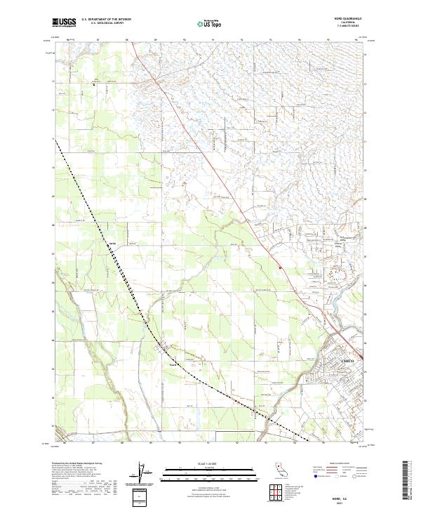 2021 Nord2021 Print · USGSButte County agriculture and rural life are front and center in this modern survey of the Sacramento Valley. Genealogists and local historians can trace the roads around Nord, find the Pine Creek Cem, and follow the winding course of Keefer Slough.
 - 2022 Map of Richardson Springs, 2022 Print
 2022 Richardson Springs2022 Print · USGSThe northern reaches of Chico and the historic springs nearby appear here as they transitioned into the twenty-first century. Genealogists and hikers can trace the residential growth near the Chico Municipal Airport and the scenic trails around Horseshoe Lake and Keefer Ridge.
End of results
Showing maps 1-20 of 20
Top cities near Chico
Top neighborhoods of Chico
- Stirling Junction historical maps
- Barber historical maps
- Chapmantown historical maps
- City Plaza historical maps
- No sidewalk riding district historical maps
Frequently asked questions
- What are the different types of historical maps available for Chico?
- What is the oldest map of Chico?
- Where can I purchase historical maps of Chico for my home or office?
- Where can I download high-res historical maps of Chico?
- Are there historical topographic maps available for Chico?
- Is there historical aerial imagery available for Chico?
- Where are historical maps of Chico sourced from?