2000s (21st Century) Maps of Firebaugh, California
Explore 8 historic maps of Firebaugh from the 2000s (21st Century). These maps offer a rare glimpse into what life looked like during the 2000s — showing old roads, neighborhoods, homes, and landmarks that have changed or disappeared over time.
Whether you're researching your family's past, planning a metal detecting trip, or studying how Firebaugh's landscape evolved across the 2000s, these high-resolution maps are a powerful tool for exploring the history of this region.
- Focus on a specific era: All maps on this page are from the 2000s, giving you a focused view of this time period.
- See what’s changed: Compare century-old streets, trails, and buildings to today's modern landscape using overlays and satellite layers.
- Research with precision: Use these maps for genealogy, historical research, land use analysis, or educational projects.
- View, download, or print: Maps are fully viewable online in high resolution, and can be downloaded or printed for your own records.
Start exploring Firebaugh's history through authentic maps from the 2000s. This is your window into the past.
Firebaugh, CA maps
(8)- 2012 Map of Firebaugh, 2012 Print
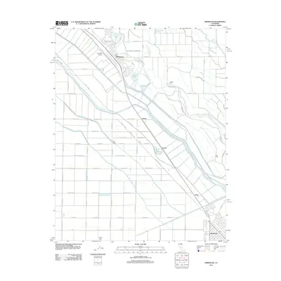 2012 Firebaugh2012 Print · USGSCovers Firebaugh, including Mendota, Fresno County, and other nearby areas
 - 2012 Map of Poso Farm, 2012 Print
 2012 Poso Farm2012 Print · USGSCovers Firebaugh, including Fresno County, Madera County, and other nearby areas
 - 2015 Map of Firebaugh, 2015 Print
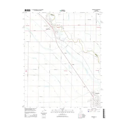 2015 Firebaugh2015 Print · USGSCovers Firebaugh, including Mendota, Fresno County, and other nearby areas
 - 2015 Map of Poso Farm, 2015 Print
 2015 Poso Farm2015 Print · USGSCovers Firebaugh, including Fresno County, Madera County, and other nearby areas
 - 2018 Map of Poso Farm, 2018 Print
 2018 Poso Farm2018 Print · USGSCovers Firebaugh, including Fresno County, Madera County, and other nearby areas
 - 2018 Map of Firebaugh, 2018 Print
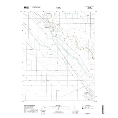 2018 Firebaugh2018 Print · USGSCovers Firebaugh, including Mendota, Fresno County, and other nearby areas
 - 2021 Map of Poso Farm, 2021 Print
 2021 Poso Farm2021 Print · USGSMadera and Fresno counties are captured here in the early twenty-first century, showing the complex water systems of the Central Valley. Researchers can trace the meandering San Joaquin River and irrigation networks like the Poso Canal and River Br Columbia Canal.
 - 2021 Map of Firebaugh, 2021 Print
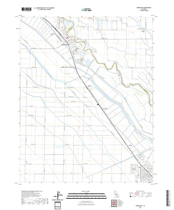 2021 Firebaugh2021 Print · USGSModern agriculture and historic transport corridors meet in this 2021 view of the Central Valley near the Fresno-Madera line. Genealogists and researchers can trace the development of Firebaugh and outlying stops like Benito and Arbios along the Santa Fe Grade.
End of results
Showing maps 1-8 of 8
Top cities near Firebaugh
- Mendota historical maps
- Dos Palos historical maps
- South Dos Palos historical maps
- Tranquillity historical maps
Frequently asked questions
- What are the different types of historical maps available for Firebaugh?
- What is the oldest map of Firebaugh?
- Where can I purchase historical maps of Firebaugh for my home or office?
- Where can I download high-res historical maps of Firebaugh?
- Are there historical topographic maps available for Firebaugh?
- Is there historical aerial imagery available for Firebaugh?
- Where are historical maps of Firebaugh sourced from?