Old Maps of Imperial, California for Genealogy
Trace your family roots with 23 historic maps of Imperial. These high-res maps reveal old neighborhoods, homesites, landmarks, and streets — helping you uncover where your ancestors lived and how the area evolved over time.
- Explore historic neighborhoods: Identify where your relatives may have lived in the 1800s or 1900s.
- Compare maps over time: Trace the changes in streets, buildings, and landmarks for multi-generational research.
- Perfect for genealogy & ancestry research: Used by family historians and researchers to map out lineage and migration.
These maps are an incredible resource for exploring your personal connection to Imperial's past.
Imperial, CA maps
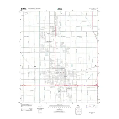
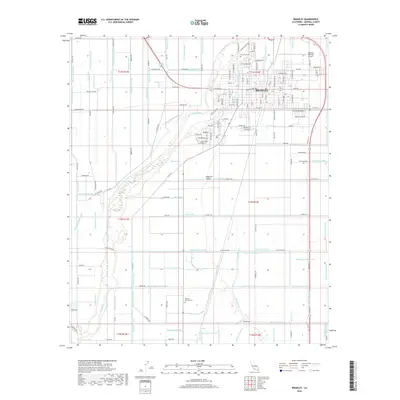
(23)- 1915 Map of El Centro
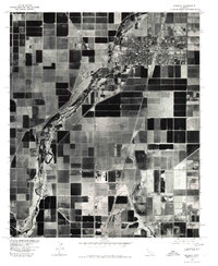
 1915 El Centro1915 Print · USGSThe Imperial Valley was rapidly developing into an agricultural powerhouse in the decade before the Great War. You can trace early irrigation networks through West Side Main Canal and locate early settlements like Dixieland, Silsbee, and 101 Ranch.
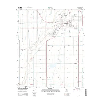
 - 1940 Map of Brawley, 1955 Print
 1940 Brawley1955 Print · USGSThe Imperial Valley's complex irrigation and rail network is captured here just before the mid-century. Researchers can trace family-named schools and sidings like Lantana Sch, Silsbee Sch, and Wilsie Siding among the canals of the early valley economy.
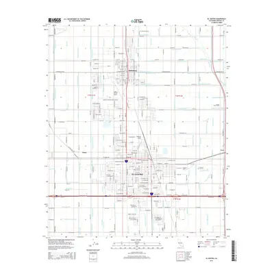
 - 1942 Map of El Centro
 1942 El Centro1942 Print · USGSThe Imperial Valley and the California-Mexico border are captured during the peak of World War II-era desert development. Genealogists and historians can trace defunct school districts like Meloland Sch and Sandia, or follow the path of the Inter-California Railroad across the international line.2 unique versions available
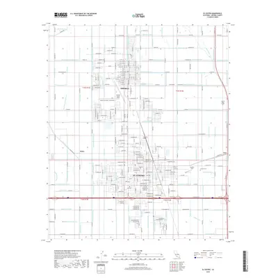
 - 1943 Map of Brawley, 1945 Print
 1943 Brawley1945 Print · USGSThe Imperial Valley's desert-to-farmland transformation is on full display here during the mid-1940s. Researchers can trace the vast irrigation network of the Westside Main Canal and locate vanished rural schoolhouses like Silsbee Sch and Lantana Sch..
 - 1954 Map of El Centro
 1954 El Centro1954 Print · USGSThe Imperial Valley was at its mid-century agricultural peak when this survey recorded its vast irrigation network and desert borderlands. Researchers can trace the path of the All American Canal or locate local landmarks like Lantana School and the Tumco Mines.
 - 1955 Map of El Centro
 1955 El Centro1955 Print · USGSThe Imperial Valley and the Colorado River borderlands are captured here in the mid-fifties during the peak of the region's irrigation-driven expansion. Researchers can trace the desert's industrial history through the Tumco Mines, the Yuma Test Branch, and rural landmarks like the Palmetto School.
 - 1957 Map of El Centro, 1958 Print
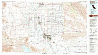
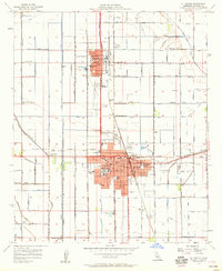 1957 El Centro1958 Print · USGSEl Centro and Imperial are shown at a peak of mid-century agricultural development within their irrigated desert valley. Genealogists and historians can trace neighborhood growth through dozens of local schools like Ben Hulse Sch, find family plots at Evergreen Cemetery, and locate regional landmarks such as the Imperial County Airport.5 unique versions available
 - 1957 Map of Brawley, 1958 Print
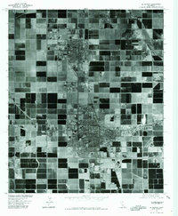
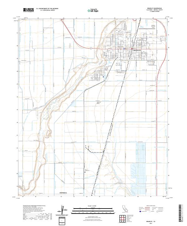
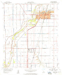 1957 Brawley1958 Print · USGSBrawley and the Imperial Valley are captured here in the late fifties, showcasing a complex landscape of desert agriculture and industrial growth. Researchers can trace local roots through numerous landmarks like Union HS, the SUGAR REFINERY, and Riverview Cemetery.4 unique versions available
 - 1957 Map of Brawley, 1961 Print
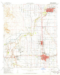 1957 Brawley1961 Print · USGSThe Imperial Valley's agricultural heartland thrived in the late fifties through an immense network of irrigation and rail. Genealogists and local historians can trace family roots through numerous local schools like Oakley Sch and burial sites including Memory Gardens Cem and Imperial Cem.
 - 1958 Map of El Centro, 1972 Print
 1958 El Centro1972 Print · USGSThe Imperial Valley's agricultural heartland and the Colorado River's edge are captured here during a period of massive water infrastructure and military expansion. Genealogists and historians can trace old mining sites like the Ferguson Mine, desert outposts such as Ogilby, and early rail lines including the San Diego and Arizona Eastern.4 unique versions available
 - 1961 Map of El Centro
 1961 El Centro1961 Print · USGSThe California-Arizona borderlands come alive in this early sixties record of desert irrigation and military expansion. Genealogists and researchers can trace the engineering of the All American Canal and locate vanished sites like Araz and the Imperial County Tuberculosis Sanatorium.
 - 1964 Map of El Centro
 1964 El Centro1964 Print · USGSThe agricultural heart of the California desert and the military test ranges of Arizona are revealed in this mid-century study. Genealogists and historians can trace the paths of the Southern Pacific railroad and the All American Canal near El Centro and Yuma.
 - 1976 Map of Brawley, 1980 Print
 1976 Brawley1980 Print · USGSThe Imperial Valley's desert agriculture is revealed in mid-1970s detail as Brawley thrives amidst a vast irrigation network. Genealogists and local historians can trace the town's street grid and the path of the New River past landmarks like the Dolson Drain.
 - 1976 Map of El Centro, 1980 Print
 1976 El Centro1980 Print · USGSThe Imperial Valley agricultural landscape comes into focus in this mid-seventies aerial study of the desert's edge. Trace the irrigation networks of the Central Main Canal and the Dogwood Canal as they serve El Centro.
 - 1989 Map of El Centro, 1990 Print
 1989 El Centro1990 Print · USGSThe Imperial Valley and the international border come alive in this late-eighties survey of high-desert agriculture and military aviation. Researchers can trace the development of Calexico and Mexicali or locate landmarks like the Lechuga Store and Plaster City.
 - 2012 Map of Brawley, 2012 Print
 2012 Brawley2012 Print · USGSCovers Imperial, including Brawley, Poe Colonia, and other nearby areas
 - 2012 Map of El Centro, 2012 Print
 2012 El Centro2012 Print · USGSCovers Imperial, including El Centro, Wilsie, and other nearby areas
 - 2015 Map of Brawley, 2015 Print
 2015 Brawley2015 Print · USGSCovers Imperial, including Brawley, Poe Colonia, and other nearby areas
 - 2015 Map of El Centro, 2015 Print
 2015 El Centro2015 Print · USGSCovers Imperial, including El Centro, Wilsie, and other nearby areas
 - 2018 Map of El Centro, 2018 Print
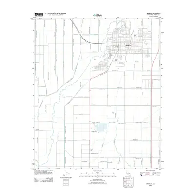
 2018 El Centro2018 Print · USGSCovers Imperial, including El Centro, Wilsie, and other nearby areas
 - 2018 Map of Brawley, 2018 Print
 2018 Brawley2018 Print · USGSCovers Imperial, including Brawley, Poe Colonia, and other nearby areas
 - 2021 Map of Brawley, 2021 Print
 2021 Brawley2021 Print · USGSThe agricultural heart of the Imperial Valley is captured here in the early twenty-first century, showing the intricate water systems supporting Brawley. Researchers can locate civic sites like the Imperial County Superior Court - Brawley and family landmarks including Riverview Cem.
 - 2022 Map of El Centro, 2022 Print
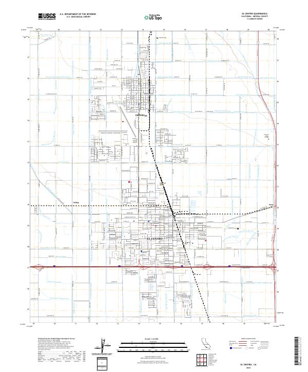 2022 El Centro2022 Print · USGSEl Centro and Imperial are shown at the height of their modern agricultural development in this recent survey. Local historians can trace the vital irrigation networks of the Central Main Canal and landmarks like the Imperial County Courthouse or Imperial Cem.
End of results
Showing maps 1-23 of 23
Top cities near Imperial
- El Centro historical maps
- Calexico historical maps
- Brawley historical maps
- Holtville historical maps
- Westmorland historical maps
- Poe Colonia historical maps
Frequently asked questions
- What are the different types of historical maps available for Imperial?
- What is the oldest map of Imperial?
- Where can I purchase historical maps of Imperial for my home or office?
- Where can I download high-res historical maps of Imperial?
- Are there historical topographic maps available for Imperial?
- Is there historical aerial imagery available for Imperial?
- Where are historical maps of Imperial sourced from?