Old Maps of Rocklin, California for Hiking & Exploration
Hike through history with 26 historic maps of Rocklin. Explore old trails, ghost towns, and forgotten backroads — perfect for outdoor adventurers and local explorers.
- Rediscover forgotten places: Map out old mining camps, roads, and footpaths that no longer exist on modern maps.
- Layer with modern tools: Combine with LiDAR or satellite views to plan hikes through historical terrain.
- Made for exploration: Popular among hikers, overlanders, and local history lovers.
Use these maps to find adventure and explore the hidden past of Rocklin.
Rocklin, CA maps
(26)- 1891 Map of Sacramento
 1891 Sacramento1891 Print · USGSNorthern California foothills and the valley plains emerge in the late nineteenth century as the rail-and-road network expands. Trace early family landmarks and river crossings like Mormon Island, Whitney Ranch, and the historic Rattlesnake Bridge.
 - 1892 Map of Sacramento
 1892 Sacramento1892 Print · USGSThe rail-and-river economy of Northern California is on full display in the 1890s as the Central Pacific Railroad links the valley to the foothills. Genealogists and historians can trace early settlements like Mormon Island, Salmon Falls, and the Whitney's Ranch before modern development changed the landscape.5 unique versions available
 - 1893 Map of Sacramento, 1900 Print
 1893 Sacramento1900 Print · USGSThe Sacramento Valley and Sierra foothills come alive in this late nineteenth-century survey during the height of the railroad era. Researchers can trace the early layout of Roseville, locate family landmarks like Whitney's Ranch, or follow the Placerville Road through the gold country.
 - 1910 Map of Roseville
 1910 Roseville1910 Print · USGSRoseville was a burgeoning railroad town when this 1908 survey recorded its early street grid and rail junctions. Trace the tracks of the Southern Pacific through Whitney or locate rural landmarks like the Pleasant Grove School and Kaseberg farm.2 unique versions available
 - 1942 Map of Markham Ravine
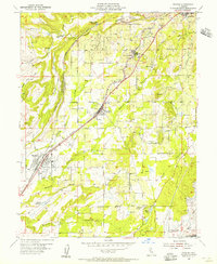
 1942 Markham Ravine1942 Print · USGSWestern Placer County was a landscape of busy rail lines and rural schoolhouses in the early 1940s. Genealogists and historians can trace old homesteads near Sheridan, locate the Clay Quarry at Lincoln, or find former community centers like Central Sch.
 - 1944 Map of Auburn
 1944 Auburn1944 Print · USGSThe Placer County foothills in the early 1940s show a landscape of deep river canyons and growing rail towns. Researchers can trace rural school districts like Japanese Sch and old river crossings at Rattlesnake Bridge and Salmon Falls.3 unique versions available
 - 1947 Map of Sacramento, 1948 Print
 1947 Sacramento1948 Print · USGSThe Sacramento Valley meets the high Sierra during a period of post-war expansion. Trace the historic river delta islands like Grand Island or locate early airfield footprints at McClellan Air Force Base and Mather Air Force Base.2 unique versions available
 - 1948 Map of Sacramento, 1951 Print
 1948 Sacramento1951 Print · USGSPost-war Northern California comes alive in this regional survey, capturing the era of expansion between the Central Valley and the High Sierra. Researchers can trace the rail networks of the Central California Traction and Sacramento Northern RR or locate landmarks like the State Capitol and University of California Davis.
 - 1953 Map of Roseville, 1955 Print
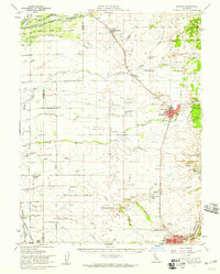
 1953 Roseville1955 Print · USGSRoseville was expanding as a major rail hub and agricultural center in the mid-1950s, surrounded by vast orchards and family ranches. Local historians can trace early landholdings such as the W F Fiddyment Ranch and community landmarks like the Public Cem and Woodbridge Sch.2 unique versions available
 - 1953 Map of Lincoln, 1959 Print
 1953 Lincoln1959 Print · USGSMid-century Placer County is captured here during a period of agricultural stability and industrial growth. Researchers can trace family ranching legacies at WF Fiddyment Ranch or explore the clay industry near Clayton and Lincoln.2 unique versions available
 - 1954 Map of Rocklin, 1955 Print
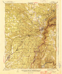
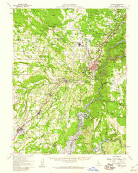
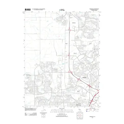
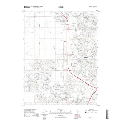
 1954 Rocklin1955 Print · USGSThe Placer County foothills in the mid-fifties show a landscape shaped by the rail and mining industries before the filling of Folsom Lake. Genealogists can trace family footprints near Stallman Corners or research historic operations at the Alabama Mine and Mary Len Mine.2 unique versions available
 - 1954 Map of Auburn, 1959 Print
 1954 Auburn1959 Print · USGSThe Gold Country foothills of Placer and El Dorado Counties are captured here during the mid-fifties, just as the valley floor prepared for the rise of the Folsom Reservoir. Researchers can trace the river's historic mining bars or locate legacy landmarks like the Auburn Rancheria, Bayley House, and Clipper Gap.2 unique versions available
 - 1956 Map of Sacramento
 1956 Sacramento1956 Print · USGSMid-century California unfolds from the delta to the high Sierra, capturing a landscape of growing valley cities and burgeoning military airbases. Genealogists and historians can trace the rail lines and river towns from Woodland to Lodi, or explore the foothill settlements of Placerville and Jackson.2 unique versions available
 - 1957 Map of Sacramento, 1966 Print
 1957 Sacramento1966 Print · USGSIn the mid-twentieth century, the California heartland was a hub of river transport, rail lines, and military airbases. Genealogists and historians can trace the development of Gold Country towns like Angels Camp and Sonora or follow the path of the Southern Pacific RR through the growing suburbs of Sacramento.4 unique versions available
 - 1967 Map of Rocklin, 1968 Print
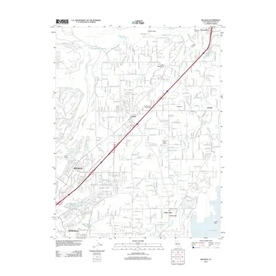
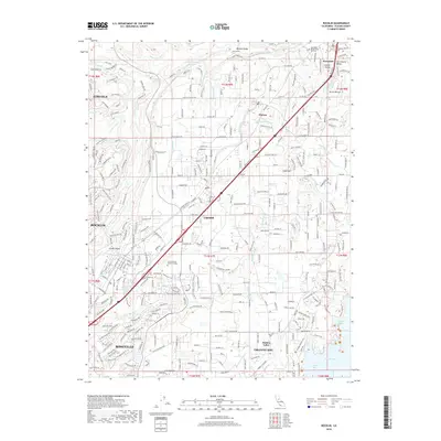
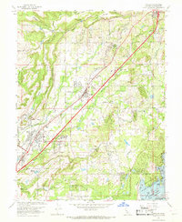 1967 Rocklin1968 Print · USGSPlacer County's foothill corridor underwent significant transition in the late sixties as traditional rail towns met new suburban growth. Genealogists and historians can trace family-named landmarks like Stallman Corners or locate Placer Ch and the Mary Leh Mine.3 unique versions available
 - 1967 Map of Roseville, 1968 Print
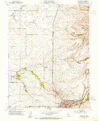
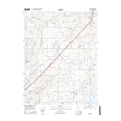
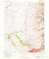 1967 Roseville1968 Print · USGSRoseville and Rocklin appear during a period of agricultural transition in the late sixties as ranching lands met new suburban growth. Genealogists and researchers can locate family-named properties like the W F Fiddlyment Ranch, the Roseville Cem, and the old Southern Pacific rail line.3 unique versions available
 - 1992 Map of Roseville, 1997 Print
 1992 Roseville1997 Print · USGSRoseville and Rocklin are shown during a phase of rapid transition in the early nineties, where historical ranching meets modern suburban development. Genealogists and local historians can trace the W F Fiddyment Ranch, locate the Roseville Cemetery, or follow the Southern Pacific rail lines.
 - 1994 Map of Sacramento
 1994 Sacramento1994 Print · USGSThe Sacramento valley was a landscape of massive flood control and military aviation during the mid-nineties. Researchers can trace the complex network of the Yolo Bypass and the Sacramento River alongside McClellan Air Force Base and Zamora.2 unique versions available
 - 2012 Map of Roseville, 2012 Print
 2012 Roseville2012 Print · USGSCovers Rocklin, including Roseville, Lincoln, and other nearby areas
 - 2012 Map of Rocklin, 2012 Print
 2012 Rocklin2012 Print · USGSCovers Rocklin, including Roseville, Lincoln, and other nearby areas
 - 2015 Map of Rocklin, 2015 Print
 2015 Rocklin2015 Print · USGSCovers Rocklin, including Roseville, Lincoln, and other nearby areas
 - 2015 Map of Roseville, 2015 Print
 2015 Roseville2015 Print · USGSCovers Rocklin, including Roseville, Lincoln, and other nearby areas
 - 2018 Map of Roseville, 2018 Print
 2018 Roseville2018 Print · USGSCovers Rocklin, including Roseville, Lincoln, and other nearby areas
 - 2018 Map of Rocklin, 2018 Print
 2018 Rocklin2018 Print · USGSCovers Rocklin, including Roseville, Lincoln, and other nearby areas
 - 2021 Map of Rocklin, 2021 Print
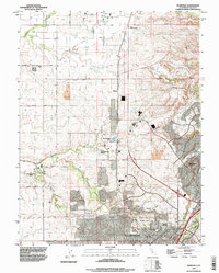
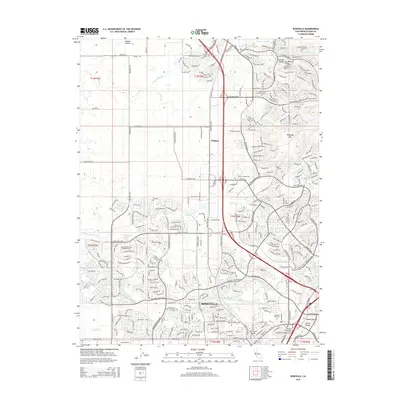
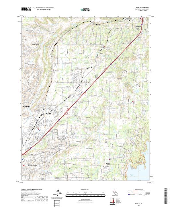 2021 Rocklin2021 Print · USGSThe foothills of Placer County come into focus in the early 2020s, showing the modern suburban footprint alongside vital historical water infrastructure. Genealogists and hikers can trace connections between the Newcastle Rocklin Gold Hill Cem, the Sierra College - Rocklin Campus, and the Pioneer Express Trl.
Showing maps 1-25 of 26
Top cities near Rocklin
- Sacramento historical maps
- Roseville historical maps
- Citrus Heights historical maps
- Folsom historical maps
- Rancho Cordova historical maps
- El Dorado Hills historical maps
See more
Frequently asked questions
- What are the different types of historical maps available for Rocklin?
- What is the oldest map of Rocklin?
- Where can I purchase historical maps of Rocklin for my home or office?
- Where can I download high-res historical maps of Rocklin?
- Are there historical topographic maps available for Rocklin?
- Is there historical aerial imagery available for Rocklin?
- Where are historical maps of Rocklin sourced from?