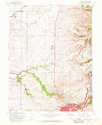
1967 Map of Roseville
USGS Topo · Published 1968About this map
Agricultural ranching and early suburban expansion define this corner of Placer County during the late 1960s. The landscape is marked by prominent family holdings such as the R E Fiddlyment Ranch and W F Fiddlyment Ranch, alongside the Diamond K Ranch and Spring Valley Ranch, illustrating a transitional period before the region's rapid residential development. The Southern Pacific railroad corridor serves as a central spine, passing near the industrial core of Roseville and the burgeoning community of Rocklin.
Find a feature on this map
47 named features on this map. Tap any name to fly to it.
Don’t see what you’re looking for? This feature index may not catch every label — zoom into the map to look around manually.
Map Details
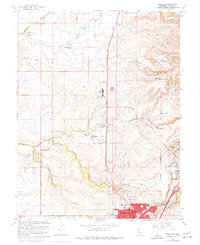
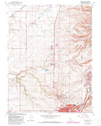
Editions of this 1967 Roseville Map
3 editions found
Other maps of this area

1891 · Sacramento
USGS Topo · 1:125,000

1892 · Sacramento
USGS Topo · 1:125,000

1893 · Sacramento
USGS Topo · 1:125,000

1902 · Fairoaks
USGS Topo · 1:62,500

1910 · Sheridan
USGS Topo · 1:31,680

1910 · Lincoln
USGS Topo · 1:31,680

1910 · Roseville
USGS Topo · 1:31,680

1910 · Pleasant Grove
USGS Topo · 1:31,680

1911 · Arcade
USGS Topo · 1:31,680

1911 · Antelope
USGS Topo · 1:31,680