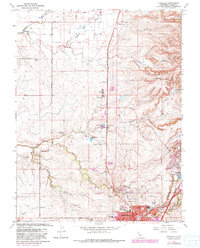
1967 Map of Roseville
USGS Topo · Published 1981About this map
Roseville and Rocklin appear during a period of significant expansion in South Placer County, with urban growth revisions highlighting the transition from agricultural ranching to suburban development. The Southern Pacific railroad corridor serves as the primary spine for this landscape, flanked by established family holdings such as the R F Fiddyment Ranch and W F Fiddyment Ranch. While the southern reaches show the rise of recreational spaces like the Sierra View Country Club and Diamond Oaks Municipal Golf Course, the northern terrain remains dominated by watercourses like Pleasant Grove Creek and Auburn Ravine. Distinctive local markers include the Lincoln Rodeo Grounds at the map's northern edge and Telegraph Hill overlooking the orchards and sloughs. This document records the intricate network of ranch roads and early subdivisions before the massive late-20th-century build-out altered the historic cattle and orchard lands.
Find a feature on this map
48 named features on this map. Tap any name to fly to it.
Don’t see what you’re looking for? This feature index may not catch every label — zoom into the map to look around manually.
Map Details
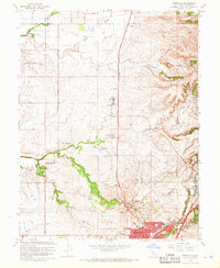
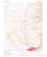
Editions of this 1967 Roseville Map
3 editions found
Other maps of this area

1891 · Sacramento
USGS Topo · 1:125,000

1892 · Sacramento
USGS Topo · 1:125,000

1893 · Sacramento
USGS Topo · 1:125,000

1902 · Fairoaks
USGS Topo · 1:62,500

1910 · Sheridan
USGS Topo · 1:31,680

1910 · Lincoln
USGS Topo · 1:31,680

1910 · Roseville
USGS Topo · 1:31,680

1910 · Pleasant Grove
USGS Topo · 1:31,680

1911 · Arcade
USGS Topo · 1:31,680

1911 · Antelope
USGS Topo · 1:31,680