2000s (21st Century) Maps of Idyllwild-Pine Cove, California
Explore 16 historic maps of Idyllwild-Pine Cove from the 2000s (21st Century). These maps offer a rare glimpse into what life looked like during the 2000s — showing old roads, neighborhoods, homes, and landmarks that have changed or disappeared over time.
Whether you're researching your family's past, planning a metal detecting trip, or studying how Idyllwild-Pine Cove's landscape evolved across the 2000s, these high-resolution maps are a powerful tool for exploring the history of this region.
- Focus on a specific era: All maps on this page are from the 2000s, giving you a focused view of this time period.
- See what’s changed: Compare century-old streets, trails, and buildings to today's modern landscape using overlays and satellite layers.
- Research with precision: Use these maps for genealogy, historical research, land use analysis, or educational projects.
- View, download, or print: Maps are fully viewable online in high resolution, and can be downloaded or printed for your own records.
Start exploring Idyllwild-Pine Cove's history through authentic maps from the 2000s. This is your window into the past.
Idyllwild-Pine Cove, CA maps
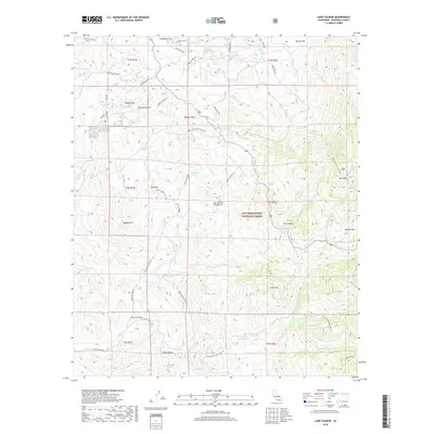
(16)- 2012 Map of Lake Fulmor, 2012 Print
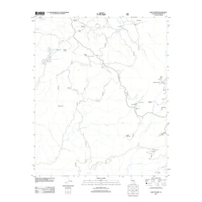 2012 Lake Fulmor2012 Print · USGSCovers Idyllwild-Pine Cove, including Riverside County, United States, and other nearby areas
 - 2012 Map of Blackburn Canyon, 2012 Print
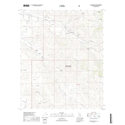
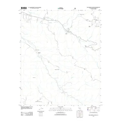 2012 Blackburn Canyon2012 Print · USGSCovers Idyllwild-Pine Cove, including Riverside County, United States, and other nearby areas
 - 2012 Map of San Jacinto Peak, 2012 Print
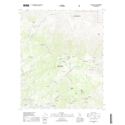
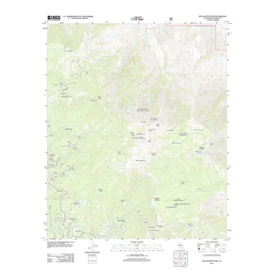 2012 San Jacinto Peak2012 Print · USGSCovers Idyllwild-Pine Cove, including Palm Springs, Pine Wood, and other nearby areas
 - 2012 Map of Idyllwild, 2012 Print
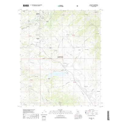
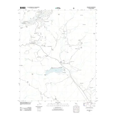 2012 Idyllwild2012 Print · USGSCovers Idyllwild-Pine Cove, including Idyllwild, Mountain Center, and other nearby areas
 - 2015 Map of Blackburn Canyon, 2015 Print
 2015 Blackburn Canyon2015 Print · USGSCovers Idyllwild-Pine Cove, including Riverside County, United States, and other nearby areas
 - 2015 Map of San Jacinto Peak, 2015 Print
 2015 San Jacinto Peak2015 Print · USGSCovers Idyllwild-Pine Cove, including Palm Springs, Pine Wood, and other nearby areas
 - 2015 Map of Lake Fulmor, 2015 Print
 2015 Lake Fulmor2015 Print · USGSCovers Idyllwild-Pine Cove, including Riverside County, United States, and other nearby areas
 - 2015 Map of Idyllwild, 2015 Print
 2015 Idyllwild2015 Print · USGSCovers Idyllwild-Pine Cove, including Idyllwild, Mountain Center, and other nearby areas
 - 2018 Map of Lake Fulmor, 2018 Print
 2018 Lake Fulmor2018 Print · USGSCovers Idyllwild-Pine Cove, including Riverside County, United States, and other nearby areas
 - 2018 Map of San Jacinto Peak, 2018 Print
 2018 San Jacinto Peak2018 Print · USGSCovers Idyllwild-Pine Cove, including Palm Springs, Pine Wood, and other nearby areas
 - 2018 Map of Idyllwild, 2018 Print
 2018 Idyllwild2018 Print · USGSCovers Idyllwild-Pine Cove, including Idyllwild, Mountain Center, and other nearby areas
 - 2018 Map of Blackburn Canyon, 2018 Print
 2018 Blackburn Canyon2018 Print · USGSCovers Idyllwild-Pine Cove, including Riverside County, United States, and other nearby areas
 - 2021 Map of San Jacinto Peak, 2021 Print
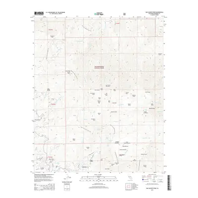
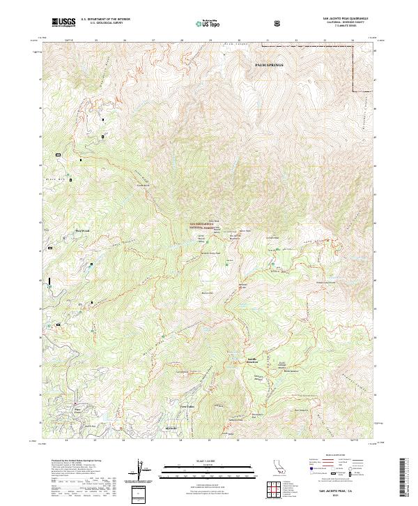 2021 San Jacinto Peak2021 Print · USGSThe San Jacinto Mountains are documented here at the height of their modern recreation era, featuring the high-altitude trails and granite peaks above Idyllwild. Researchers can trace the layout of mountain communities like Pine Cove and Fern Valley alongside iconic landmarks such as Suicide Rock and San Jacinto Peak.
 - 2021 Map of Lake Fulmor, 2021 Print
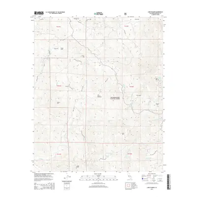
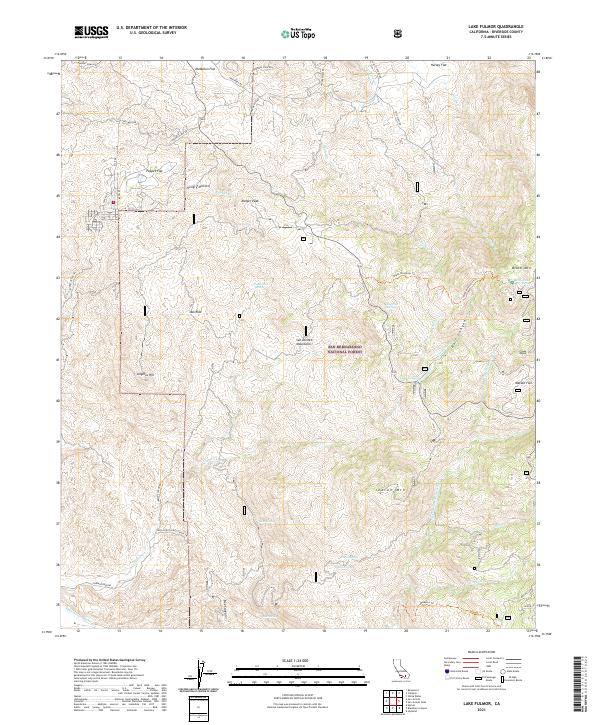 2021 Lake Fulmor2021 Print · USGSThe San Jacinto Mountains of Riverside County appear in detail during the early 2020s, showing a landscape defined by protected wilderness and alpine flats. Trace forest landmarks and historic routes like Lake Fulmor, Poppet Flat, and the Old Idyllwild Rd.
 - 2021 Map of Idyllwild, 2021 Print
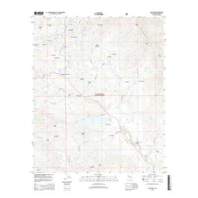
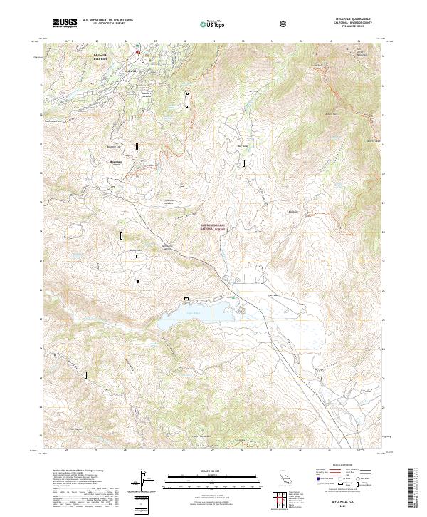 2021 Idyllwild2021 Print · USGSThe high San Jacinto peaks and the sprawling ranch lands of Garner Valley meet in this detailed 2021 survey. Researchers can trace local landmarks like Lake Hemet, the alpine streets of Idyllwild, and the high-elevation path of the Pacific Crest National Scenic Trl.
 - 2021 Map of Blackburn Canyon, 2021 Print
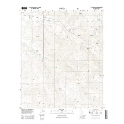
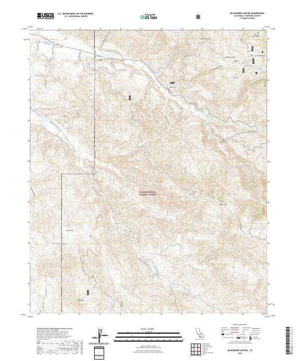 2021 Blackburn Canyon2021 Print · USGSThe high San Jacinto range and protected forest lands are captured here in the early twenty-first century. Researchers can trace remote mountain routes like the Bee Canyon Truck Trl to isolated locales such as Oak Cliff and Alvin Meadows.
End of results
Showing maps 1-16 of 16
Top cities near Idyllwild-Pine Cove
- Hemet historical maps
- Cathedral City historical maps
- San Jacinto historical maps
- Palm Springs historical maps
- Banning historical maps
- Beaumont historical maps
See more
Top neighborhoods of Idyllwild-Pine Cove
Frequently asked questions
- What are the different types of historical maps available for Idyllwild-Pine Cove?
- What is the oldest map of Idyllwild-Pine Cove?
- Where can I purchase historical maps of Idyllwild-Pine Cove for my home or office?
- Where can I download high-res historical maps of Idyllwild-Pine Cove?
- Are there historical topographic maps available for Idyllwild-Pine Cove?
- Is there historical aerial imagery available for Idyllwild-Pine Cove?
- Where are historical maps of Idyllwild-Pine Cove sourced from?