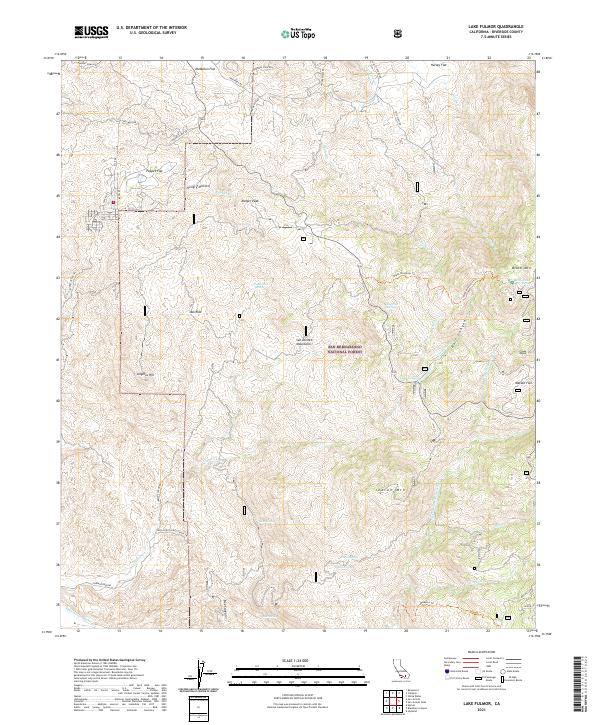
2021 Map of Lake Fulmor
USGS Topo · Published 2021About this map
San Bernardino National Forest encompasses the high-altitude landscape of the San Jacinto Mountains, where steep canyons and sharp peaks define the topography. The central landmark, Lake Fulmor, sits nestled along the Mellor Cr drainage, serving as a focal point for the surrounding network of trails and mountain roads. The map highlights protected corridors such as the North Fork San Jacinto Wild and Scenic River and the Fuller Mill Creek Wild and Scenic River, reflecting a modern emphasis on watershed preservation and natural resource management.
Find a feature on this map
60 named features on this map. Tap any name to fly to it.
Don’t see what you’re looking for? This feature index may not catch every label — zoom into the map to look around manually.
Map Details
Editions of this 2021 Lake Fulmor Map
This is the sole edition of this map. No revisions or reprints were ever made.
Other maps of this area

1901 · Southern California Sheet No. 1
USGS Topo · 1:250,000

1901 · San Jacinto
USGS Topo · 1:125,000

1904 · Southern California Sheet No. 1
USGS Topo · 1:250,000

1940 · Palm Springs
USGS Topo · 1:62,500

1940 · Hemet Reservoir
USGS Topo · 1:62,500

1942 · Banning
USGS Topo · 1:62,500

1942 · Hemet Reservoir
USGS Topo · 1:62,500

1942 · Hemet
USGS Topo · 1:62,500

1943 · Hemet
USGS Topo · 1:62,500

1943 · Banning
USGS Topo · 1:62,500