Old Maps of Woodcrest, California for Academic Research
Study the evolution of Woodcrest with 41 high-resolution historic maps. Whether you're teaching, researching, or modeling changes in land use, these maps provide essential visual documentation of urban, environmental, and geographic change.
- Analyze long-term change: Track patterns in development, transportation, and natural features.
- Ideal for environmental or urban studies: Support academic projects with primary historical map data.
- Use in the classroom or lab: Educators and researchers rely on these maps to bring historical context to life.
These maps are a powerful tool for teaching, research, and visualizing how Woodcrest has changed over the decades.
Woodcrest, CA maps
(41)- 1901 Map of Southern California Sheet No. 1
 1901 Southern California Sheet No. 11901 Print · USGSGreater Los Angeles at the dawn of the twentieth century is a landscape of growing citrus towns and a burgeoning rail network. Genealogists and historians can trace the early gridded streets of Hollywood and Pasadena or locate landmarks like Bear Lake and the Cahuilla Indian Reservation.6 unique versions available
 - 1901 Map of Elsinore
 1901 Elsinore1901 Print · USGSRiverside and the Alessandro Valley are shown here during a peak of early mining and rail expansion. Genealogists and historians can trace the Southern California RR through Perris or locate the Alberhill Coal Mine and Indian School.8 unique versions available
 - 1901 Map of Riverside
 1901 Riverside1901 Print · USGSRiverside and its surrounding rancho lands are seen here at the start of the 1900s as irrigation canals and railroads transformed the valley. Researchers can trace the early city grid and find rural landmarks like the Cajalco Tin Mine, Casa Blanca, and Arlington.6 unique versions available
 - 1904 Map of Southern California Sheet No. 1, 1905 Print
 1904 Southern California Sheet No. 11905 Print · USGSSouthern California at the dawn of the twentieth century shows a landscape of citrus groves and coastal towns connected by rail. Genealogists and historians can trace early settlements like San Juan Capistrano, find remote sites like the Rose Mine, and study the original water systems of the Santa Ana River.2 unique versions available
 - 1942 Map of Riverside and Vicinity
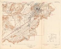 1942 Riverside and Vicinity1942 Print · USGSRiverside and its surrounding citrus lands are captured here during the early years of the war, showing a dense network of railroads and institutional grounds. Genealogists can trace family sites near the County Farm, Sherman Institute, or the Arlington Sta rail junction.2 unique versions available
 - 1942 Map of Riverside, 1959 Print
 1942 Riverside1959 Print · USGSDuring the early years of the war, the Riverside area balanced its citrus heritage with major military and water projects. Researchers can trace the layout of Camp Haan, family ranchlands like Lawless Ranch, and the Cajalco Tin Mine.2 unique versions available
 - 1943 Map of Riverside
 1943 Riverside1943 Print · USGSRiverside and its surrounding ranches are captured here during the Second World War as the region transformed into a major military and citrus hub. Researchers can trace family ranch boundaries like Wagonwheel Ranch or locate institutional landmarks like the Sherman Institute and Camp Haan.
 - 1947 Map of Santa Ana, 1949 Print
 1947 Santa Ana1949 Print · USGSSouthern California is depicted here in the late forties, showing the expansion of the Inland Empire and the Orange County coast. Researchers can trace the early layout of Palm Springs or locate long-standing tribal lands like the Pala Indian Reservation and Rincon Indian Res.
 - 1949 Map of Santa Ana
 1949 Santa Ana1949 Print · USGSSouthern California underwent a profound transformation in the late 1940s as military installations and citrus groves shared the landscape. Researchers can trace early coastal growth at Laguna Beach, military history at Camp Pendleton, and the rail corridors of the Pacific Electric.
 - 1953 Map of Steele Peak, 1955 Print
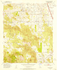 1953 Steele Peak1955 Print · USGSRiverside County at the dawn of the fifties reveals a transition from deep-shaft mining to a burgeoning ranching economy. Researchers can trace historic claims like the Gavilan Mine or explore early local hubs such as Val Verde and the Wagonwheel Ranch.2 unique versions available
 - 1953 Map of Riverside East, 1955 Print
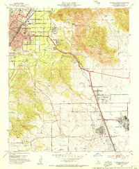 1953 Riverside East1955 Print · USGSRiverside was evolving from a citrus center into a strategic military and educational hub during the mid-fifties. Researchers can trace the layout of March Air Force Base, early campuses like UC Riverside, and local schools such as Fairmont Sch.2 unique versions available
 - 1953 Map of Lake Mathews, 1955 Print
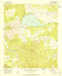 1953 Lake Mathews1955 Print · USGSRiverside County at mid-century reveals a landscape of massive water infrastructure and deep pioneer roots. Trace the path of the Colorado River Aqueduct to Lake Mathews, and locate historic sites like the Cajalco Tin Mine and Arcilla.2 unique versions available
 - 1953 Map of Riverside West, 1955 Print
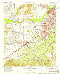 1953 Riverside West1955 Print · USGSRiverside during the early fifties reveals a landscape shaped by historic land grants and a burgeoning citrus and rail economy. Genealogists and researchers can locate family sites near Olivewood Cem, the Sherman Indian Institute, and the Arlington Station rail yard.2 unique versions available
 - 1956 Map of Santa Ana
 1956 Santa Ana1956 Print · USGSSouthern California underwent massive mid-century transformation as suburban growth met major military and water projects. Trace the postwar expansion of Santa Ana and Riverside, the layout of Camp Pendleton, and the path of the Colorado River Aqueduct.
 - 1959 Map of Santa Ana, 1971 Print
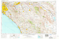 1959 Santa Ana1971 Print · USGSSouthern California is captured in a decade of transformation, from the Orange County coast to the desert floor. Researchers can trace the mid-century footprints of Camp Pendleton, March Air Force Base, and the original Ortega Highway.3 unique versions available
 - 1960 Map of Santa Ana
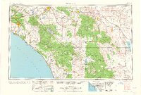 1960 Santa Ana1960 Print · USGSSouthern California's coastal plains and inland deserts meet in this mid-century survey of the burgeoning Orange and Riverside county corridors. Researchers can trace the layout of early freeway systems, find tribal lands like the Soboba Indian Reservation, and locate military landmarks such as March Field.2 unique versions available
 - 1965 Map of Santa Ana
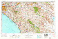 1965 Santa Ana1965 Print · USGSSouthern California is captured in a decade of rapid growth, showing the coastal expansion from Santa Ana down to Oceanside. Genealogists and historians can trace the mid-century development of places like Garden Grove or the rural reaches of Escondido and the Palomar Observatory.
 - 1967 Map of Steele Peak, 1969 Print
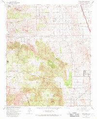 1967 Steele Peak1969 Print · USGSThe semi-arid hills of Riverside County come to life in the late 1960s as residential growth meets old-world mining and military operations. Genealogists and local historians can trace the foundations of Glen Valley, locate the Gavilan Mine, or find rural landmarks like the Good Hope Sch.3 unique versions available
 - 1967 Map of Lake Mathews, 1969 Print
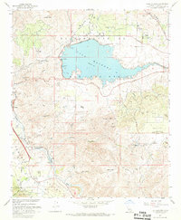 1967 Lake Mathews1969 Print · USGSRiverside County at the end of the sixties reveals a landscape transformed by water infrastructure and historic settlements. Genealogists can trace family roots through the Gavilan Springs Ranch or locate landmarks like the Indian Pictograph Historical Marker and Arcilla.5 unique versions available
 - 1967 Map of Riverside West, 1969 Print
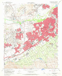 1967 Riverside West1969 Print · USGSRiverside and its western suburbs show a landscape of mid-century growth and deep-rooted institutions during the late sixties. Genealogists and historians can trace the development of Arlington, Casa Blanca, and Pedley while locating landmarks like the Sherman Indian Institute and the Olivewood Cem.4 unique versions available
 - 1967 Map of Riverside East, 1969 Print
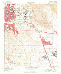 1967 Riverside East1969 Print · USGSRiverside's post-war suburban bloom is captured here as neighborhoods like Edgemont and Sunnymead expand toward the mountains. Trace the foundations of March Air Force Base and the University of California Riverside at a pivotal moment for the region.6 unique versions available
 - 1974 Map of Lake Mathews, 1975 Print
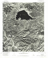 1974 Lake Mathews1975 Print · USGSRiverside County's high ridges and massive reservoir system are captured in this mid-seventies aerial study. Researchers can trace the steep geography of Dawson Canyon and the rugged slopes surrounding Estelle Mtn as they border Lake Mathews.
 - 1983 Map of Santa Ana
 1983 Santa Ana1983 Print · USGSCoastal Orange County meets the Inland Empire in the early eighties as suburban growth accelerates through the SANTA ANA MOUNTAINS. Researchers can trace institutional and military history at MARCH AIR FORCE BASE, locate the Santiago Coal Mine, or find family sites near Fairhaven Cem.
 - 1997 Map of Lake Mathews, 2000 Print
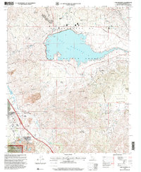 1997 Lake Mathews2000 Print · USGSRiverside County at the close of the century reveals a landscape defined by the Colorado River Aqueduct and early California heritage. Trace the Site of the First House in Riverside County, the Cajalco Tin Mine, and the Indian Pictographs Historical Marker.
 - 2012 Map of Lake Mathews, 2012 Print
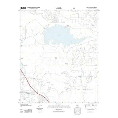 2012 Lake Mathews2012 Print · USGSRiverside County at the start of the 2010s shows a landscape of massive water infrastructure and suburban growth. Genealogists and local historians can trace the development near Lake Mathews, the heritage of Glen Ivy Hot Springs, and settlements like Arcilla.
Showing maps 1-25 of 41
Top cities near Woodcrest
- Riverside historical maps
- Fontana historical maps
- Moreno Valley historical maps
- Ontario historical maps
- Rancho Cucamonga historical maps
- Corona historical maps
See more
Top neighborhoods of Woodcrest
Frequently asked questions
- What are the different types of historical maps available for Woodcrest?
- What is the oldest map of Woodcrest?
- Where can I purchase historical maps of Woodcrest for my home or office?
- Where can I download high-res historical maps of Woodcrest?
- Are there historical topographic maps available for Woodcrest?
- Is there historical aerial imagery available for Woodcrest?
- Where are historical maps of Woodcrest sourced from?