Old Maps of Millville, California for Metal Detecting
Plan your next treasure hunt with 16 historic maps of Millville. Find old homesites, ghost towns, trails, and gathering spots that may be lost to time — perfect for identifying promising metal detecting locations.
- Locate forgotten sites: Uncover places like long-lost settlements, abandoned rail lines, or gathering spots.
- Plan better hunts: Use map overlays combined with LiDAR or satellite views to narrow in on historically rich areas.
- Made for detectorists: Thousands of hobbyists use these maps to discover relics, coins, and hidden history.
Use these historic maps to boost your research and find new opportunities beneath the surface of Millville.
Millville, CA maps
(16)- 1890 Map of Red Bluff
 1890 Red Bluff1890 Print · USGSNorthern California in the late nineteenth century was a hub of river-and-rail activity where the Central Pacific Railroad met the rugged Klamath Mountains. Researchers can trace old ferry crossings like Ball's Ferry, locate the U.S. Fishery, or find early mining camps and stations such as Minersville and Buck Horn Station.
 - 1894 Map of Red Bluff, 1896 Print
 1894 Red Bluff1896 Print · USGSNorthern California's mining and river-trading frontier comes alive in this survey of the late nineteenth century. Genealogists and historians can trace the growth of rail hubs like Redding or locate early river crossings and industrial sites such as Jelley's Ferry and the Copper Mine.6 unique versions available
 - 1901 Map of Redding
 1901 Redding1901 Print · USGSShasta County's northern canyon and mining districts come into focus at the dawn of the twentieth century. Researchers can trace the original rail stops at Kennett and Keswick or locate early industrial sites like the Bully Hill Mine and Baird Fish Hatchery.7 unique versions available
 - 1953 Map of Millville, 1955 Print
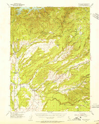 1953 Millville1955 Print · USGSShasta County transitions from the valley floor to the forested ridges of the southern Cascades during the 1950s. Genealogists can locate family names at the Masonic Cem and Odd Fellows Cem or trace vanished locales like Tollgate (Site).3 unique versions available
 - 1958 Map of Redding
 1958 Redding1958 Print · USGSNorthern California's valley and mountain landscapes are captured in the late fifties, showing the region as new reservoirs reshaped the river systems. Genealogists and historians can trace rail-side towns like Cottonwood, the military presence at Red Bluff Air Force Station, and mountain outposts like Weaverville.5 unique versions available
 - 1965 Map of Palo Cedro, 1966 Print
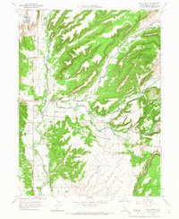 1965 Palo Cedro1966 Print · USGSShasta County life in the mid-sixties centered on the fertile plains and creek crossings east of Redding. Researchers can trace the layout of Palo Cedro, locate the IOOF Cemetery, or find old school sites like North Cow Creek Sch and Junction Sch.2 unique versions available
 - 1984 Map of Redding
 1984 Redding1984 Print · USGSThe Shasta County region in the mid-1980s reveals a landscape of massive reservoirs and active mining districts. Researchers can trace the development of Redding and Enterprise or locate historic mineral sites like Iron Mountain Mine and Keystone Mine.2 unique versions available
 - 1985 Map of Clough Gulch, 1986 Print
 1985 Clough Gulch1986 Print · USGSShasta County's upland canyons are documented here in the mid-1980s, revealing a landscape shaped by water and power. Researchers can trace the infrastructure of the Cow Creek Powerhouse, the rural settlement of Hufford, and landmarks like the ROCK WALL or the LANDING STRIP.
 - 2012 Map of Clough Gulch, 2012 Print
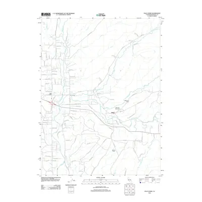
 2012 Clough Gulch2012 Print · USGSCovers Millville, including Smith, Pawnee, and other nearby areas
 - 2012 Map of Palo Cedro, 2012 Print
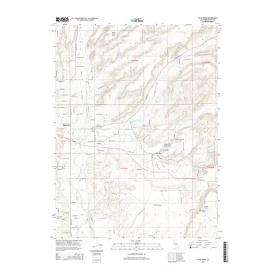
 2012 Palo Cedro2012 Print · USGSCovers Millville, including Palo Cedro, Shasta County, and other nearby areas
 - 2015 Map of Clough Gulch, 2015 Print
 2015 Clough Gulch2015 Print · USGSCovers Millville, including Smith, Pawnee, and other nearby areas
 - 2015 Map of Palo Cedro, 2015 Print
 2015 Palo Cedro2015 Print · USGSCovers Millville, including Palo Cedro, Shasta County, and other nearby areas
 - 2018 Map of Palo Cedro, 2018 Print
 2018 Palo Cedro2018 Print · USGSCovers Millville, including Palo Cedro, Shasta County, and other nearby areas
 - 2018 Map of Clough Gulch, 2018 Print
 2018 Clough Gulch2018 Print · USGSCovers Millville, including Smith, Pawnee, and other nearby areas
 - 2021 Map of Clough Gulch, 2021 Print
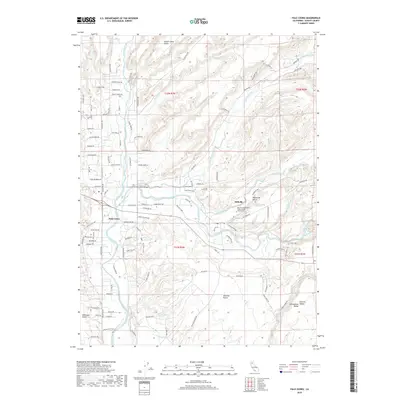
 2021 Clough Gulch2021 Print · USGSShasta County’s eastern foothills are shown here in the early twenty-first century as the terrain rises toward the mountains. Researchers can trace the drainage patterns of Old Cow Creek and Bear Creek Canyon or locate family-named landmarks like Kirkman Way.
 - 2021 Map of Palo Cedro, 2021 Print
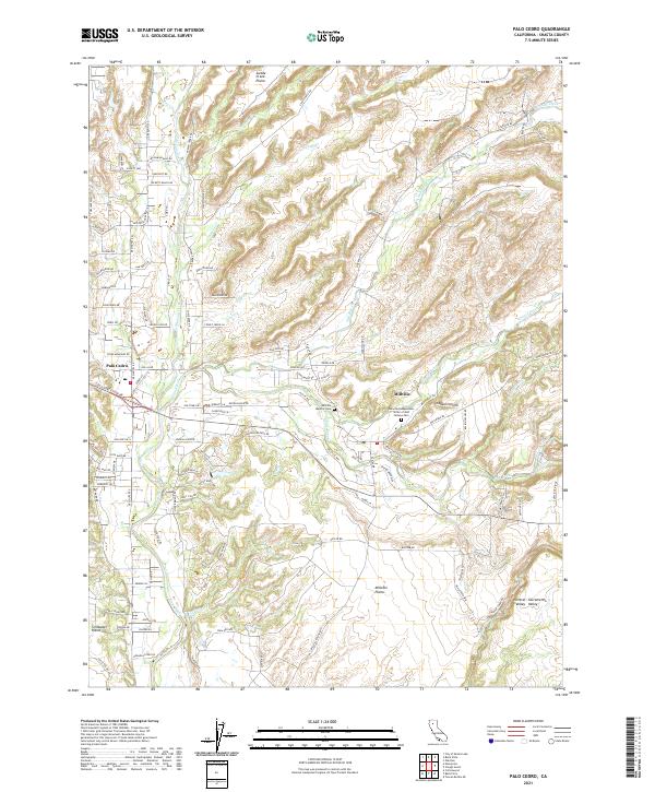 2021 Palo Cedro2021 Print · USGSThe northern Sacramento Valley landscape comes alive in this 2021 study of the settlements and waterways east of Redding. Genealogists and historians can locate the Millville Masonic Cem or trace the winding path of Stagecoach Rd as it crosses Swede Creek.
End of results
Showing maps 1-16 of 16
Top cities near Millville
- Redding historical maps
- Anderson historical maps
- Shasta Lake historical maps
- Cottonwood historical maps
- Cottonwood historical maps
Frequently asked questions
- What are the different types of historical maps available for Millville?
- What is the oldest map of Millville?
- Where can I purchase historical maps of Millville for my home or office?
- Where can I download high-res historical maps of Millville?
- Are there historical topographic maps available for Millville?
- Is there historical aerial imagery available for Millville?
- Where are historical maps of Millville sourced from?