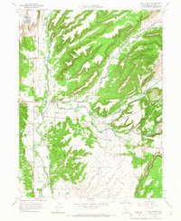
1965 Map of Palo Cedro
USGS Topo · Published 1966About this map
Cow Creek serves as the central artery for this mid-1960s landscape, where the settlements of Palo Cedro and Millville are linked by a network of rural roads and creek crossings. The confluence of Little Cow Creek and Oak Run Creek underscores a landscape defined by expansive flats, including the Swede Creek Plains and Millville Plains. For local historians, the map details established community centers through the placement of the Junction Sch and Millville Sch, as well as the Masonic Cemetery and IOOF Cemetery.
Find a feature on this map
25 named features on this map. Tap any name to fly to it.
Don’t see what you’re looking for? This feature index may not catch every label — zoom into the map to look around manually.
Map Details
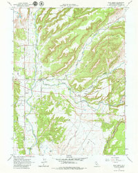
Editions of this 1965 Palo Cedro Map
2 editions found
Other maps of this area

1890 · Red Bluff
USGS Topo · 1:250,000

1894 · Red Bluff
USGS Topo · 1:250,000

1901 · Redding
USGS Topo · 1:125,000

1944 · Redding
USGS Topo · 1:62,500

1944 · Tuscan Buttes
USGS Topo · 1:62,500

1946 · Redding
USGS Topo · 1:62,500

1947 · Tuscan Buttes
USGS Topo · 1:62,500

1947 · Anderson
USGS Topo · 1:62,500

1948 · Anderson
USGS Topo · 1:62,500

1953 · Millville
USGS Topo · 1:62,500